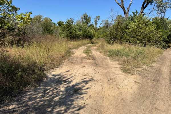
Trail Overview
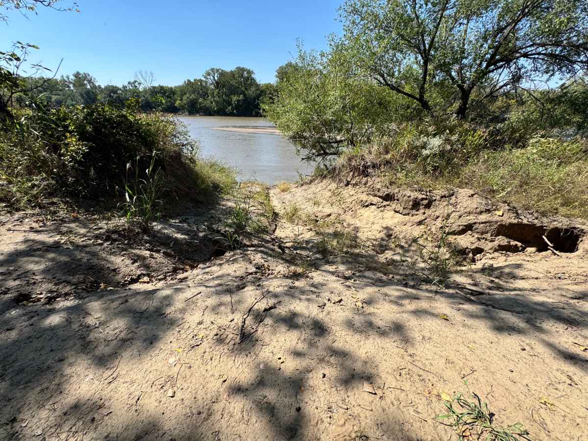
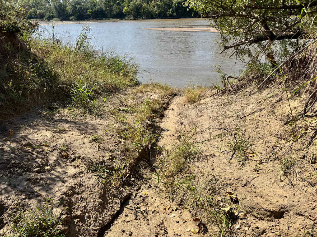
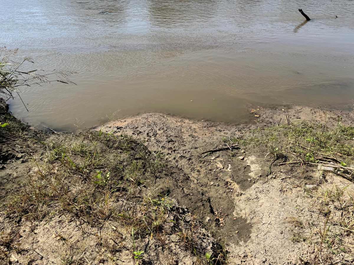
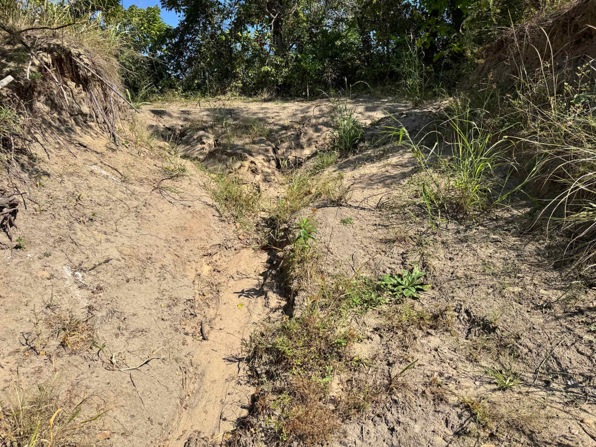
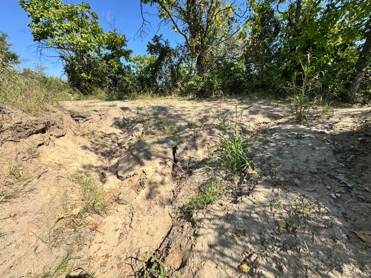
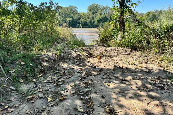
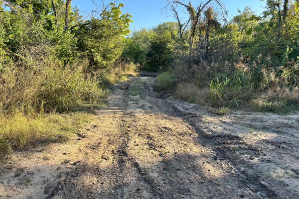
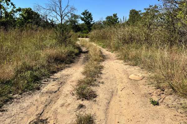
This trail begins with a gentle hill climb rising up from the Arkansas River, offering an easy start with a steady incline. The initial ascent is not particularly steep and should be manageable for most four-wheel-drive vehicles. However, as you move farther away from the water and approach the connecting section, erosion becomes much more pronounced. Deep washouts and crumbling edges are visible, indicating that the upper portion of the trail may require greater caution, especially after heavy rain. While the lower section is mild, the upper terrain could present challenges with uneven ruts and unstable ground. Drivers should approach this area carefully and be prepared for changing conditions. Make sure to pay attention to the water levels before going down this trail.
Difficulty
While the hill climb from the river is mild, the upper section’s heavy erosion increases the difficulty. Deep ruts and unstable ground may require careful line choice and traction. Suitable for capable 4x4s, this trail demands attention as conditions worsen farther from the water. If the water is high enough to make the sand bar not visible, it is best to stay off this trail altogether.
History
This park was formerly known as Sandy Bottoms, and longtime visitors may still refer to it by that name. The access road and staging area have evolved over time, but it remains a well-known local spot for off-road events and community rides.