Trail Overview
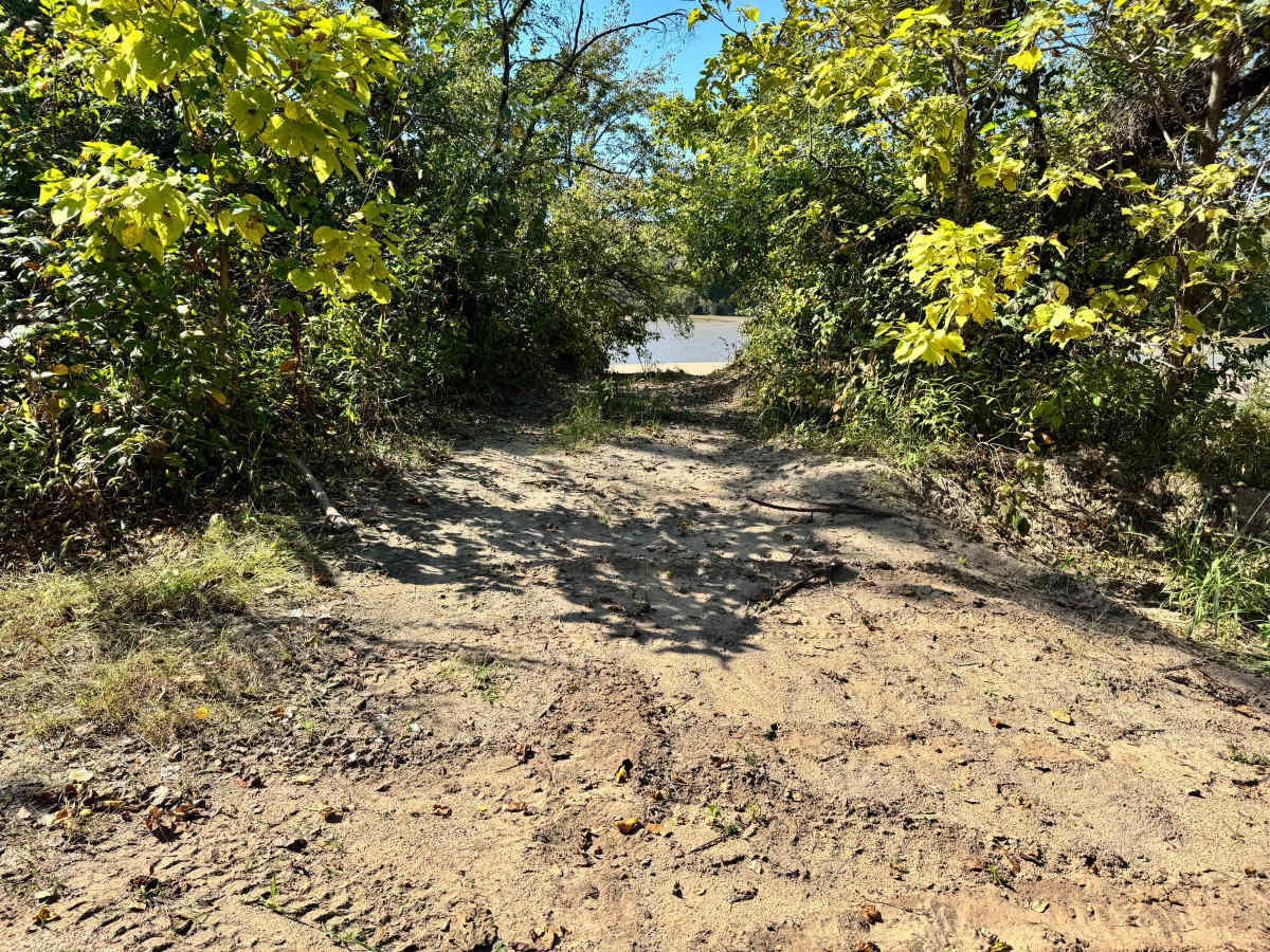
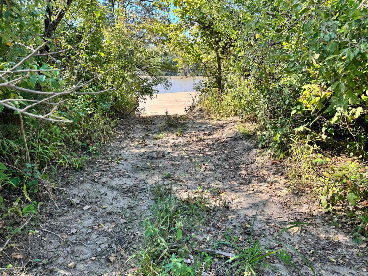
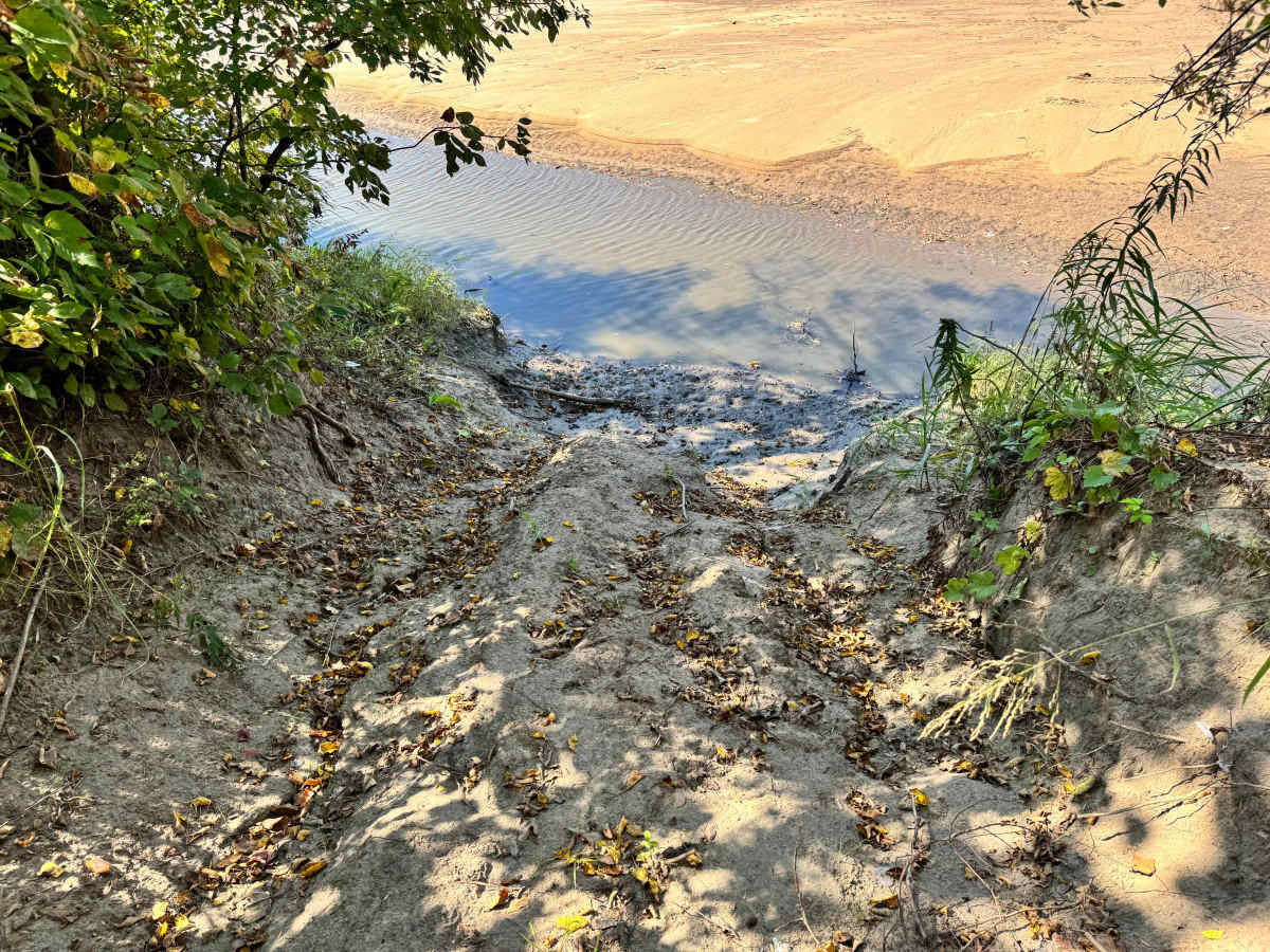
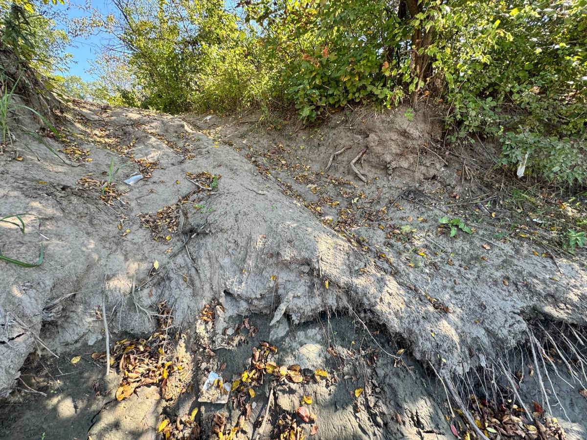
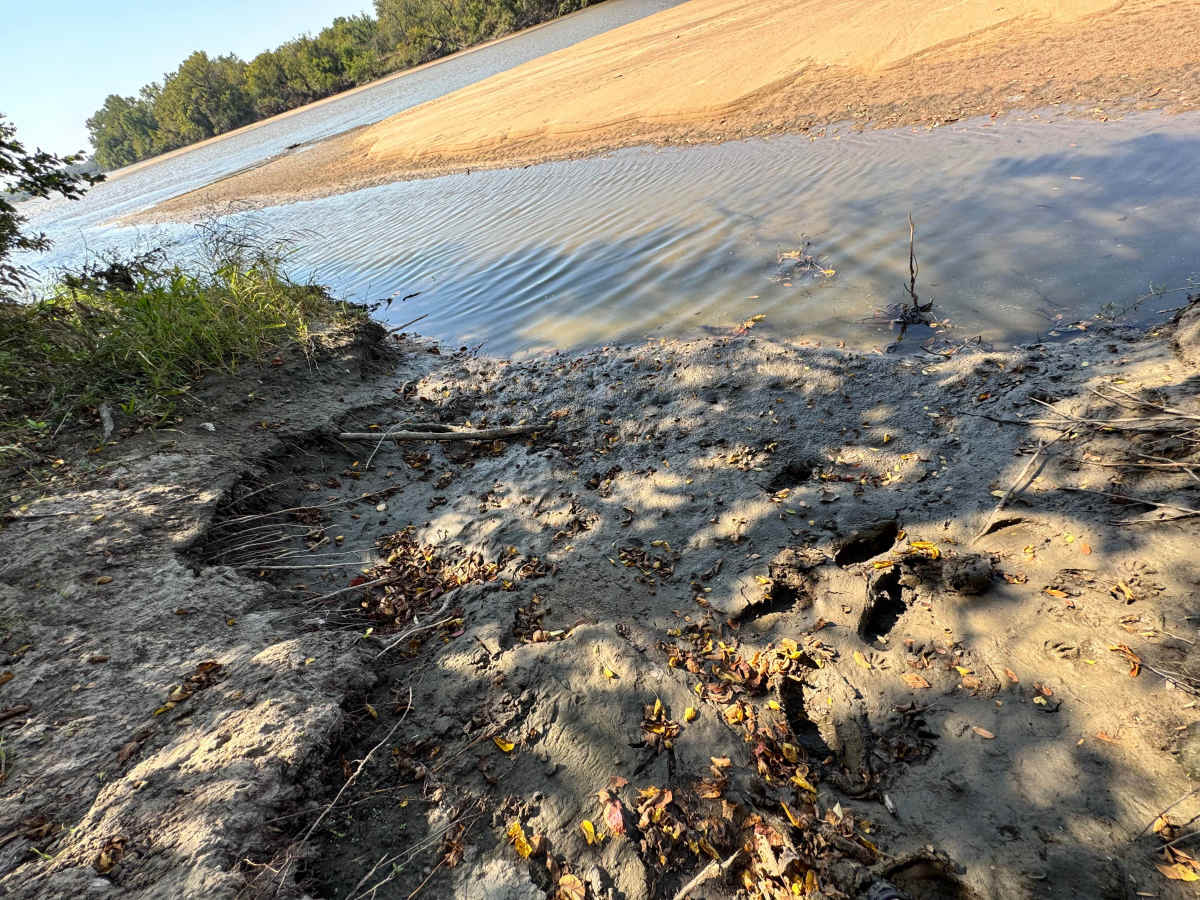
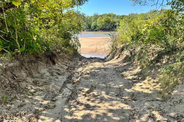
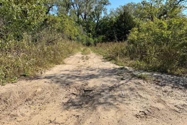
This is the most difficult and unforgiving lines leading down to the Arkansas River sandbar. At the base of the descent, a deep, washed-out hole sits right at the edge of the sandbar, forcing your vehicle into a near-vertical position as you attempt to exit. This is not a route for stock or lightly modified rigs. Successfully climbing out will require significant horsepower, large tires, and excellent traction. Even then, precise throttle control and commitment are essential. Because river levels constantly reshape the sandbar, the depth and shape of this hole can change, making conditions unpredictable. Only highly capable vehicles and experienced drivers should attempt this entry. Also, make sure to check the water levels before attempting this trail.
Difficulty
This is one of the toughest entries to the Arkansas River sandbar. The deep hole at the bottom and near-vertical climb out demand large tires, serious horsepower, and advanced driving skills. Conditions are unpredictable, making it suitable only for highly built rigs and experienced drivers.
History
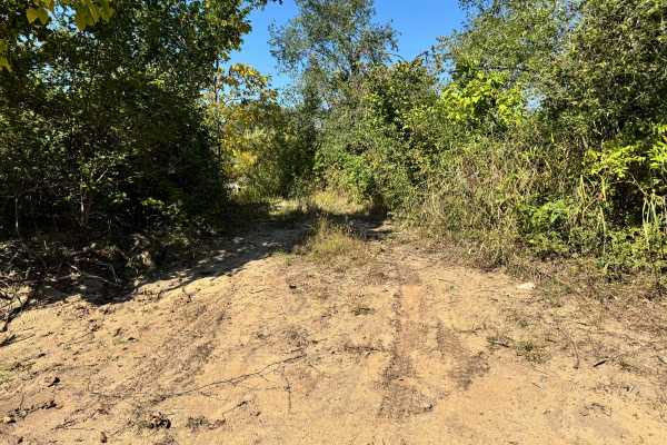
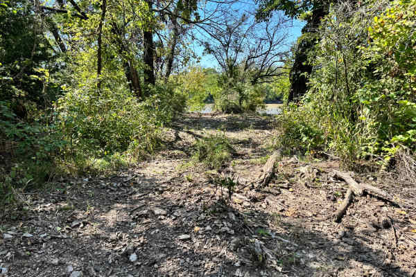
This park was formerly known as Sandy Bottoms, and longtime visitors may still refer to it by that name. The access road and staging area have evolved over time, but it remains a well-known local spot for off-road events and community rides.