Trail Overview
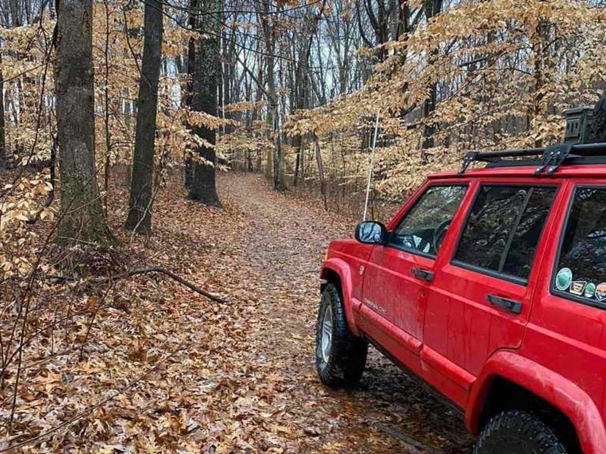
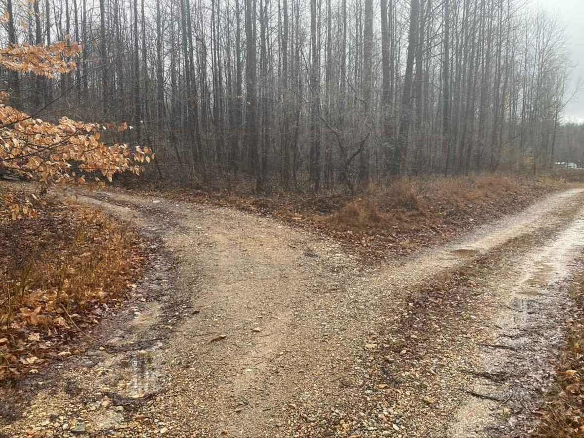
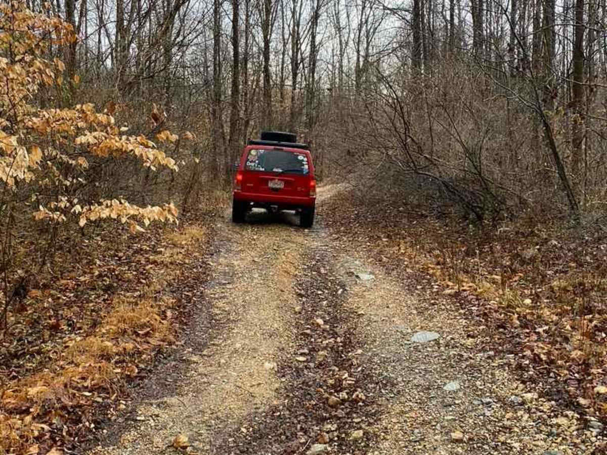
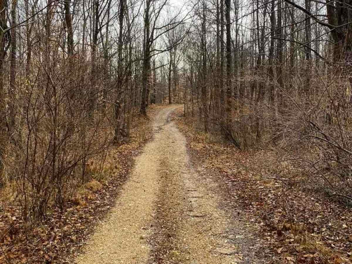
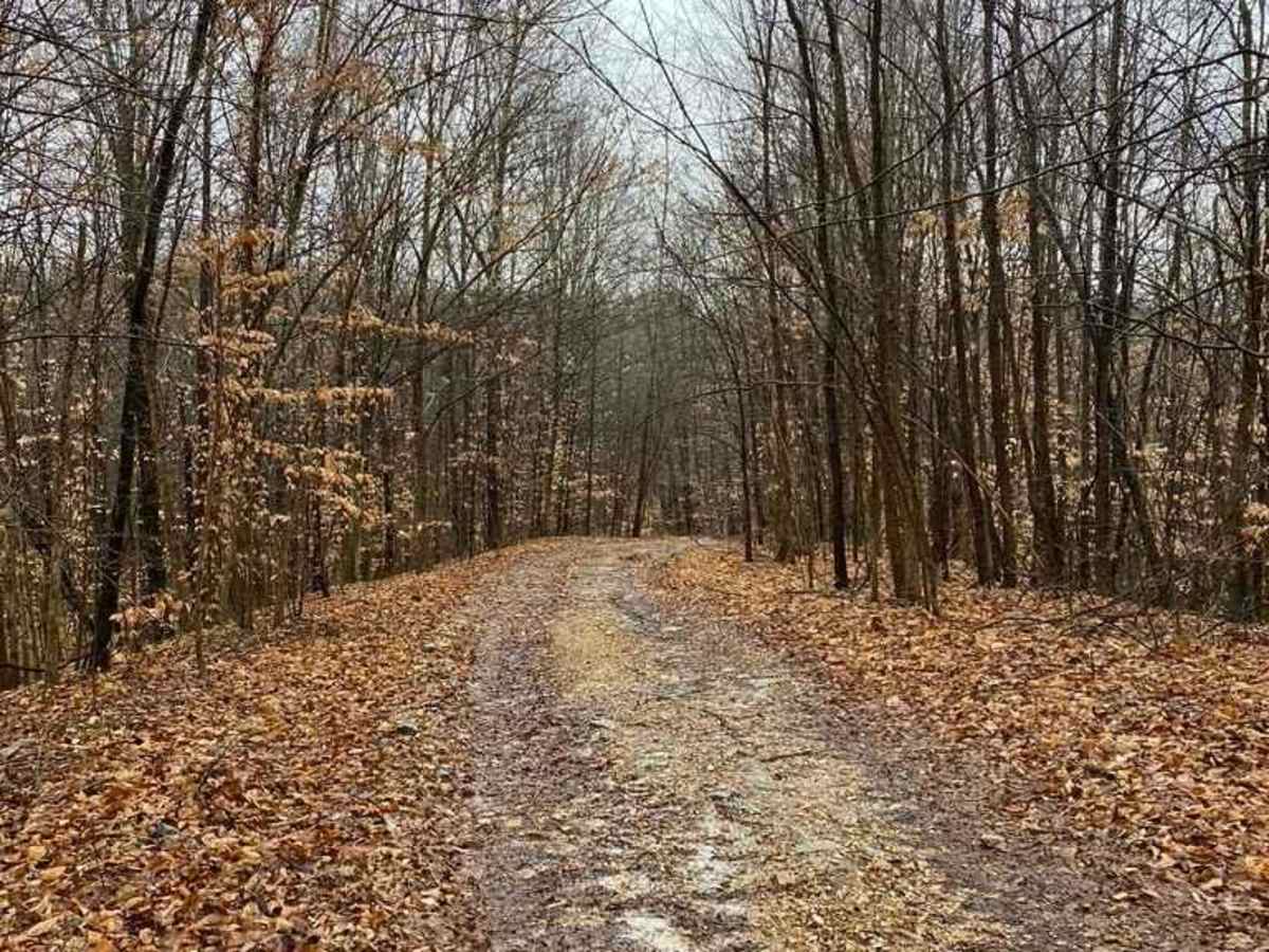
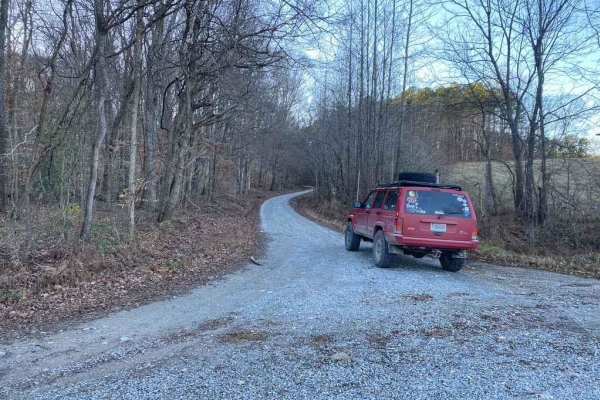
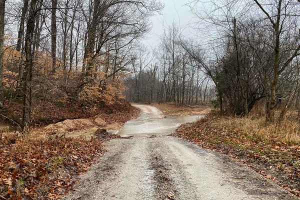
West Silica Hill Road offers an exciting, moderately challenging 1.3-mile connector trail perfect for four-wheel-drive vehicles, SxSs, and dirt bikes looking to access the Rock Top Pipeline SFR 233 and Silica Hill Road SFR 645. Traversing dense southern Illinois hardwood forests, this trail climbs from a minimum elevation of 373 feet to a peak of 673 feet, presenting drivers with a cumulative elevation gain of 338 feet. The route begins with a coarse gravel base before transitioning into a rugged terrain of loose rock, dirt, mud, and water-collection spots. Heading east, drivers will tackle two steep grades, the steepest of which snakes tightly through trees with slick dirt and off-camber ruts that demand careful tire placement and adequate ground clearance.
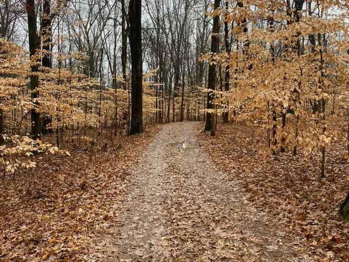
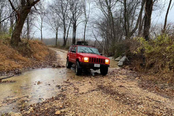
In addition to the hill climbs, the trail features a small creek crossing and seasonal challenges like slick, wet leaves during the autumn months. Due to the tight clearances and dense overgrowth, carrying a chainsaw or trimming tools is highly recommended to clear fallen limbs, though travelers must only clear what blocks the trail itself. A technical rating of 4 reflects the potential for deep ruts, slick clay, and steep, winding ascents. The eastern terminus links directly with the broader Forest Service Road network, allowing adventurers to extend their journey deeper into the Shawnee National Forest region.
Difficulty
Rutting, loose gravel, steep hills, slick fallen leaves, tight trees, water collection spots, need I say more. The route description says it best.