Ryan Dorsey
Nov 25, 2025
Open
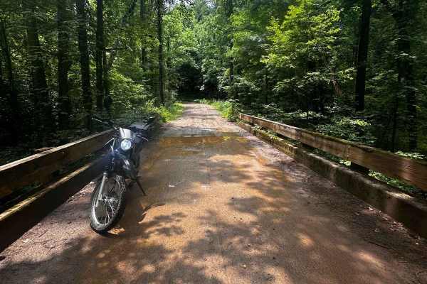
Just rode this all three gates were open.
Shannon Massey
Oct 18, 2025
Temporarily Closed
Closed Gate
All roads around Ranger base are closed. My guess is it's due to the current Gv't shutdown.
Michael C
Oct 08, 2025
Open
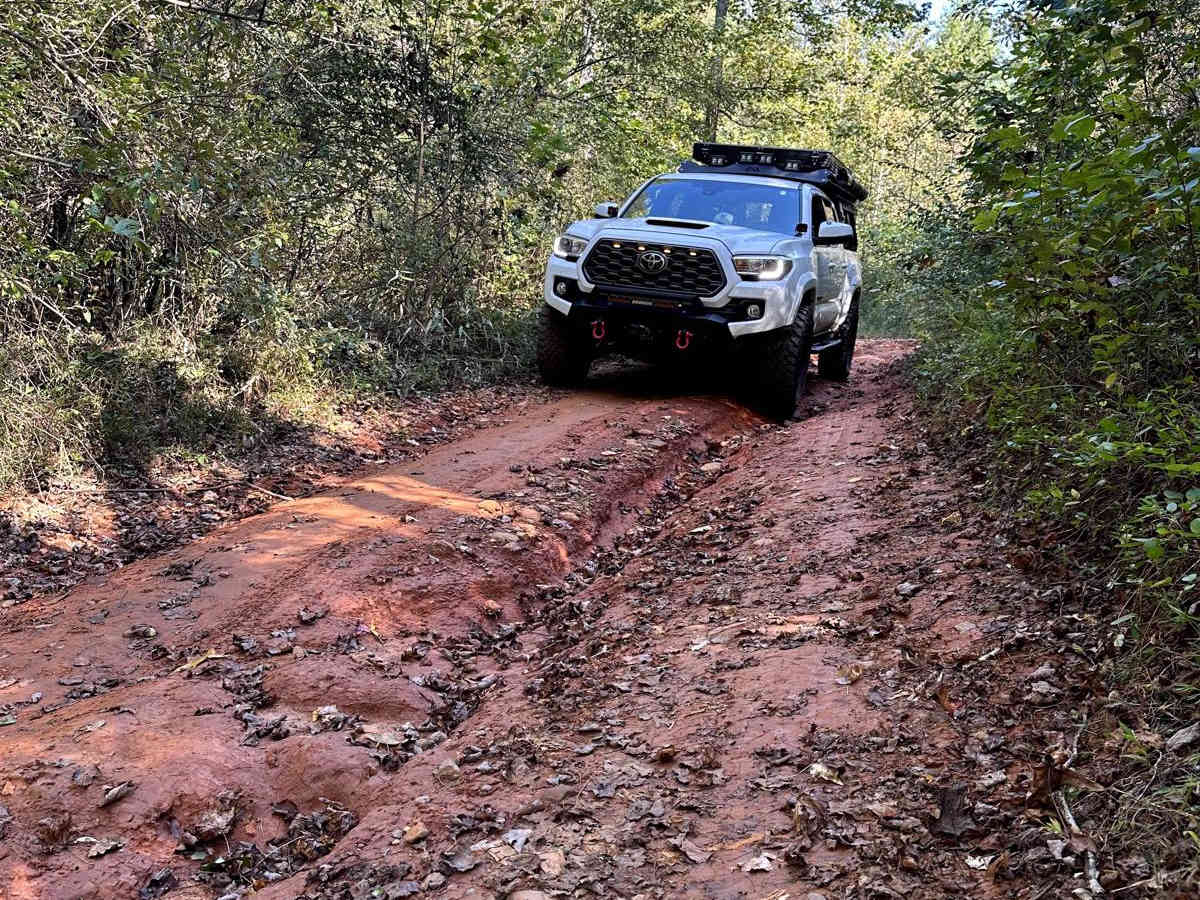
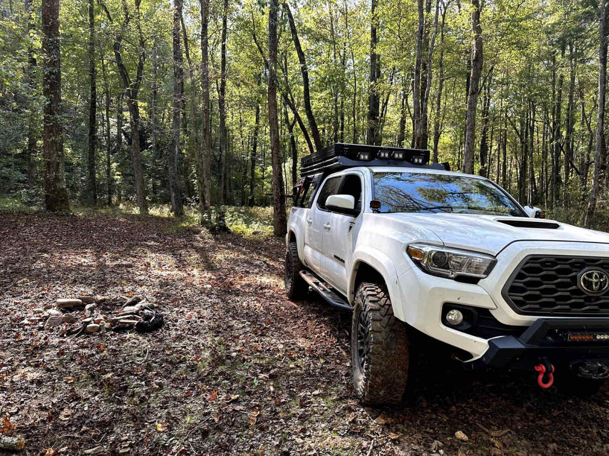
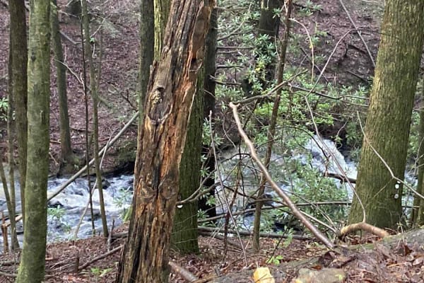
At first I was a little skeptical due to no tire tracks but I made the entire trail no issue even with a crew cab long bed diesel. Overall a fun drive with a little mix of dirt, gravel, mud, water crossings and small rocks. would recommend to anyone seeking a fun drive in the woods.
Kody C
Sep 10, 2025
2014 Subaru Outback
Open
Normal
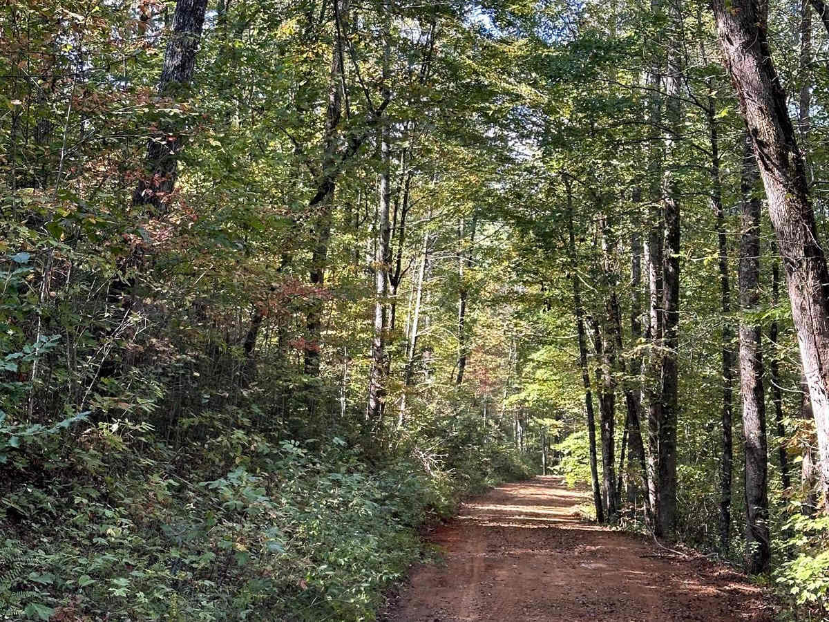
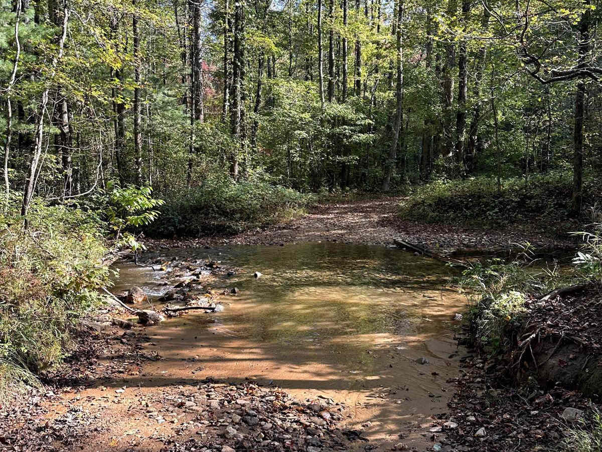
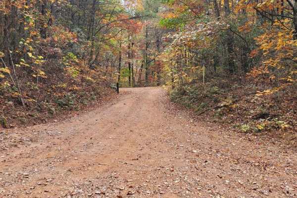
Fun winding trail with a couple of muddy spots and 2 water crossings. There are a couple of shallow rutted sections but they were pretty easy to pick a path through. Didn’t expect the trail to end on the Army Base near there, you cross a creek and then you’re literally on the base but the trail joins back to the main road and no one there seemed to mind me driving through.
Jon Critelli
Aug 10, 2025
2024 Toyota Land Cruiser
Open
Normal
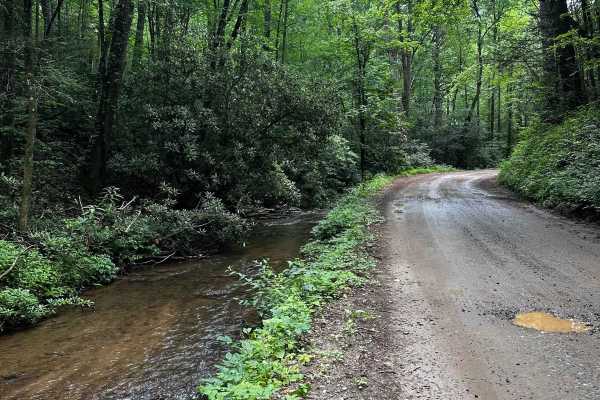
Easy trail and South Gate was open. Some areas on the north end were narrow with leaves and brush but nothing that left any visible scratches. Very small amount of mud in some areas but still very easy. Saw a couple of other vehicles and a couple motorcycles. Two water crossing were simple and no more than 6-12” deep.
sri p
Jul 12, 2025
2024 Toyota 4Runner
Open
Muddy/Wet
Easy trail, found 2 people walking, 2 bikers, nice fun to drive. 2 small water crossings.
das burro
Jul 04, 2025
2024 Ford Bronco
Open
Normal
Very easy maintained road. 2 water crossings with rock bottom and 6-12in deep. No problem at all.
Austin Y
Jun 22, 2025
2025 Jeep Wrangler
Open
Muddy/WetRough/Deteriorated
Gate closed on south end but open on the north. Fun ride off the beaten path a little bit, bit of mud and slippery patches today. Two shallow water crossings. The Army Rangers use this road for training, watch where you're going and don't go too fast around the corners.
Brian L
Jun 22, 2025
2024 Toyota Land Cruiser
Temporarily Closed
Closed Gate
The gate was closed on the south end of the trail.
Shannon Massey
Jun 21, 2025
Open
Muddy/WetRough/DeterioratedWashboard
North end gate has been closed the last few times I've gone down trail. Enter At Army base. I passed a few fellow off-roaders, and as I got to the end the gate was opened. North end of trial was soft like they're grading it again. South end was a little rutted, rocky. Nothing too challenging that required 4wd. Take corners slow. Rangers train along this trial. One of my fave trails in the area!
Paul Jones
May 31, 2025
2005 Ford Ranger
Open
Muddy/WetRough/Deteriorated
nice little side trip. if it has rained it can be slick. 4x4 is recommended but not necessary
Doug Camara
Apr 16, 2025
2023 Subaru Forester
Open
NormalDustyMuddy/Wet
Completed in a 2023 Subaru Forester Wilderness without issue. A couple of soft spots which could be worse after a heavy rain. Two water crossings were no issue.
Paul Brach
Apr 12, 2025
2020 Jeep Gladiator
Open
Muddy/Wet
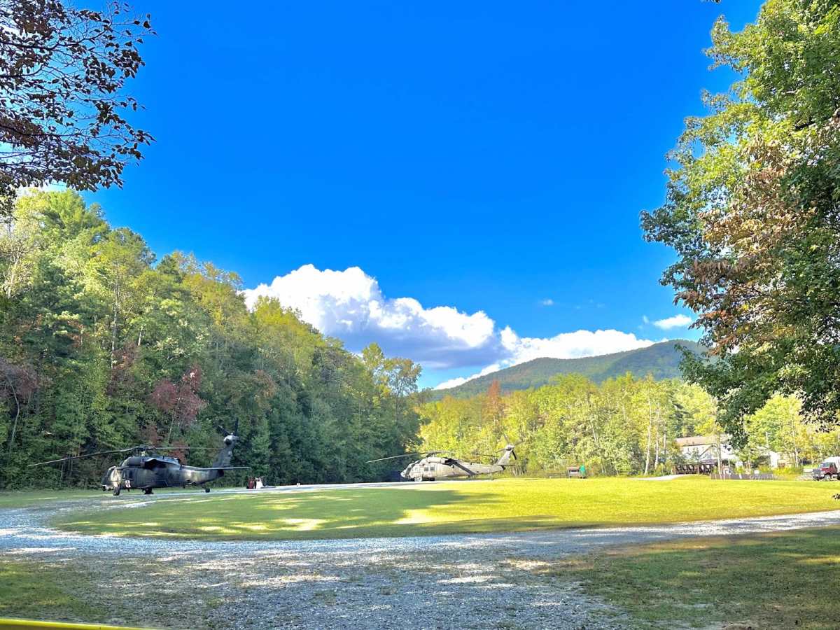
Easy National Forest road with a few muddy spots. 2 water crossings about 6-8” deep. Easy for any vehicle with Subaru level clearance. We ran into some soldiers camped who said there were going to be some pyrotechnic explosions soon as there was a group on a training ruck march that would be coming through the area. You drive right through camp Merrill on the North end.
Felix Miller
Mar 02, 2025
1998 Dodge Durango
Open
NormalMuddy/WetSnow/IceRough/DeterioratedWashboard
A couple of spots where you had some ruts going uphill, but otherwise no issue. Open all the way through, including the last portion that is just outside Camp Merrill. The “some people” were a number of hummers, each with a couple soldiers inside. They all waved hello.
Shannon Massey
Dec 09, 2024
Open
Normal