Trail Overview
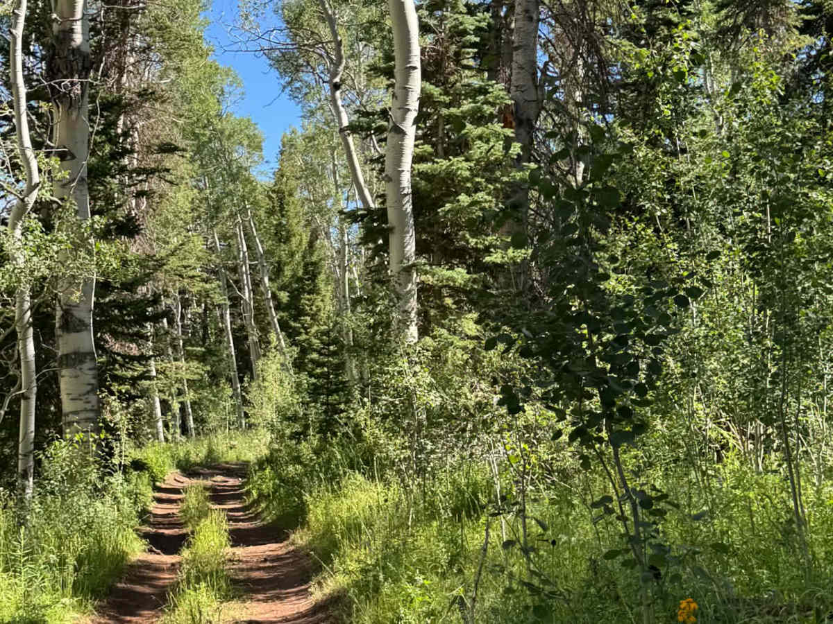
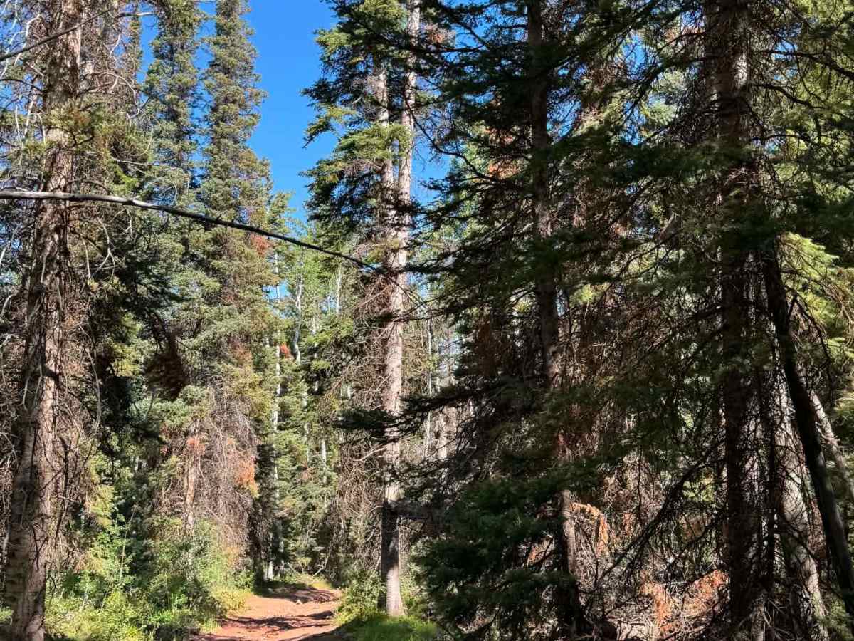
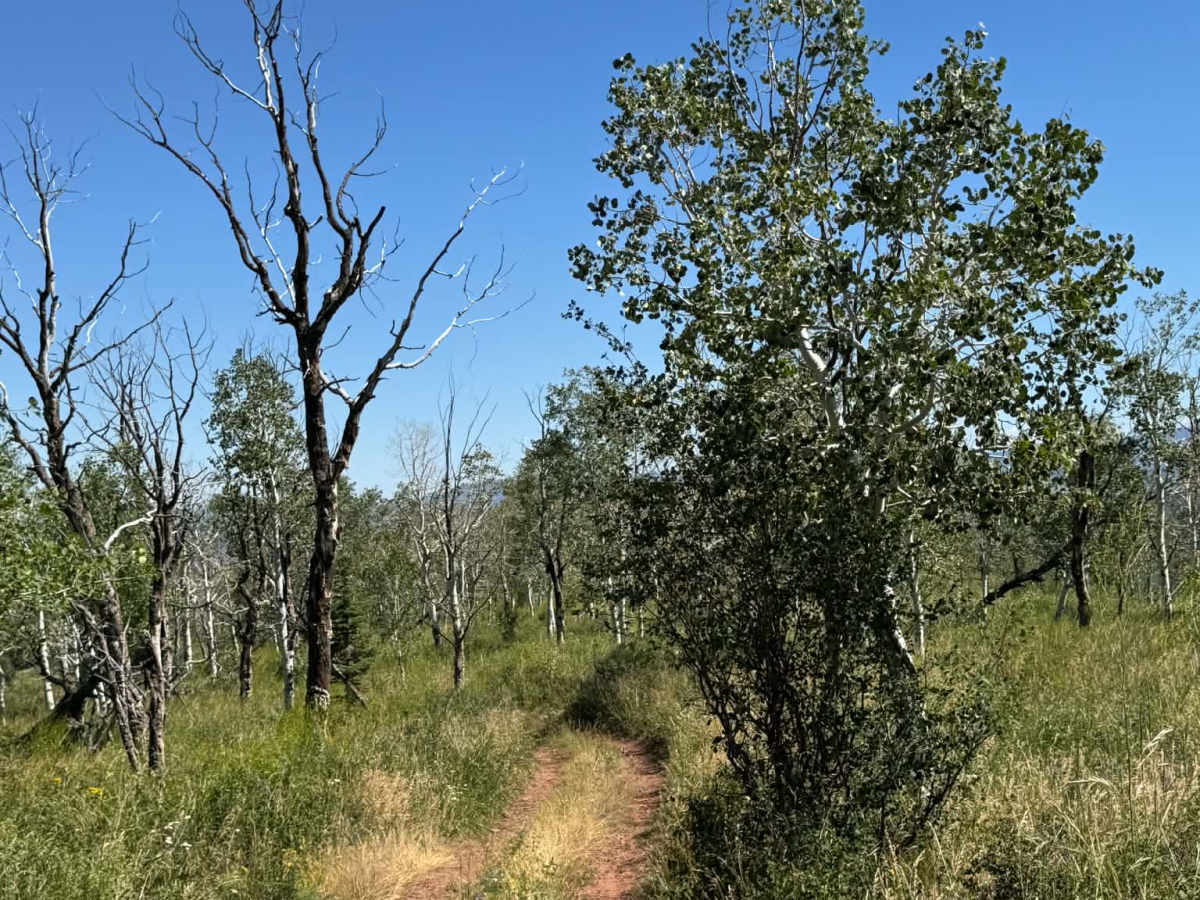
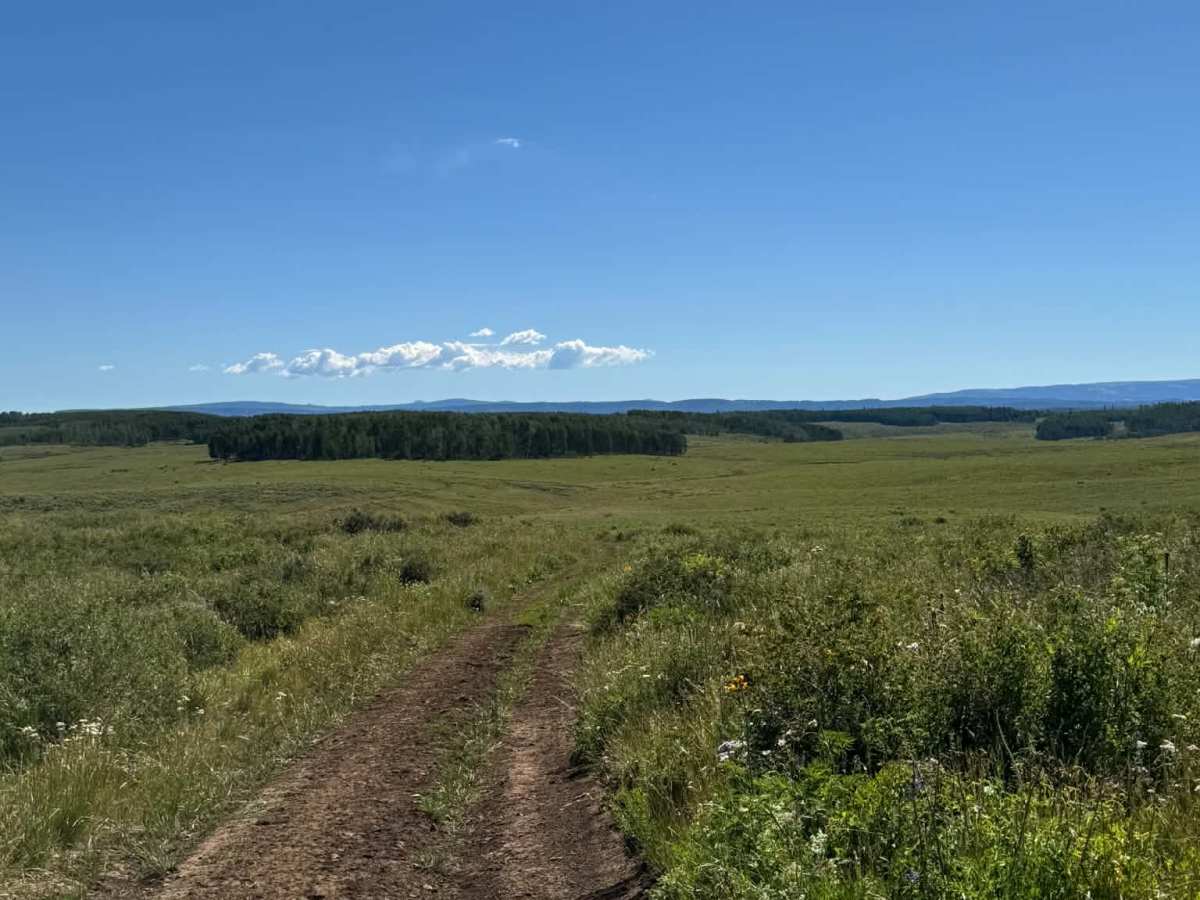
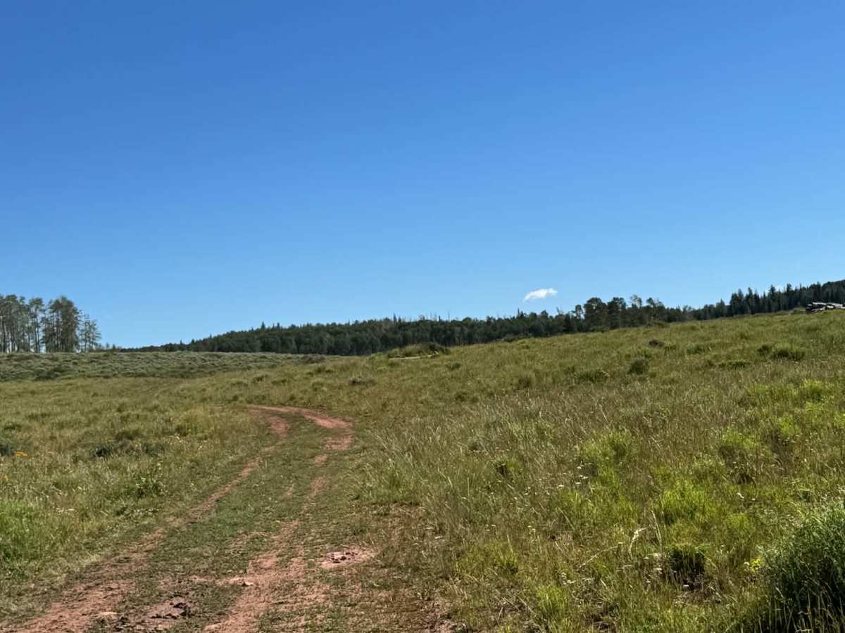
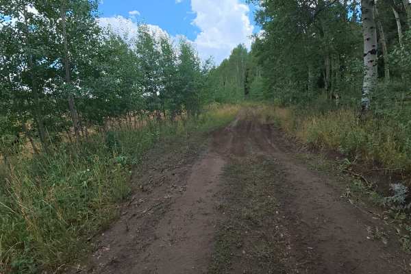
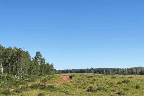
This trail begins through an open valley with 6–8 inch ruts and mud holes, gradually transitioning into the White River National Forest. The combination of red rock, aspens, and dense forest creates a unique and scenic landscape.
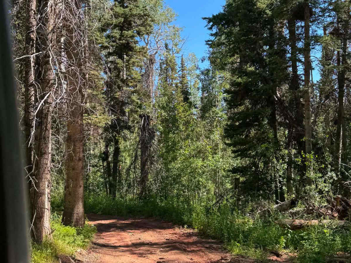
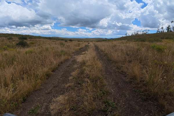
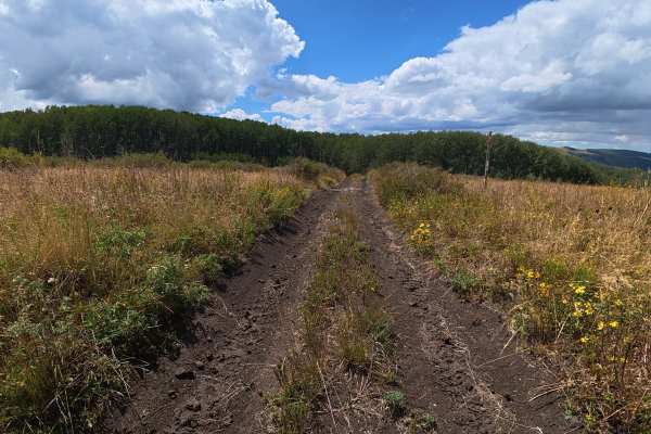
At 1.4 miles, a shaded campsite among the aspens fits up to four vehicles. At 2.7 miles, ruts increase to 16–18 inches. Around 3.5 miles, the trail becomes much narrower with no room for passing. A chainsaw or handsaw is recommended in case fallen trees block the route.
The trail ends where West Ridge Trail begins, with parking for up to four vehicles. Overall, this is a scenic but increasingly challenging trail with good camping and access to an OHV route.
Difficulty
Overall, an easy trail. The first part is a dirt road with few rocks in an open meadow. The last portion is very narrow with tight turns through trees and steeper portions. I recommend turning around before the tight section.