The Tabequache

Total Miles16.9
Technical Rating
7Difficult
Best TimeSpring, Fall
Trail TypeHigh-Clearance 4x4 Trail
Accessible By
Open Trail Map

Trail Overview

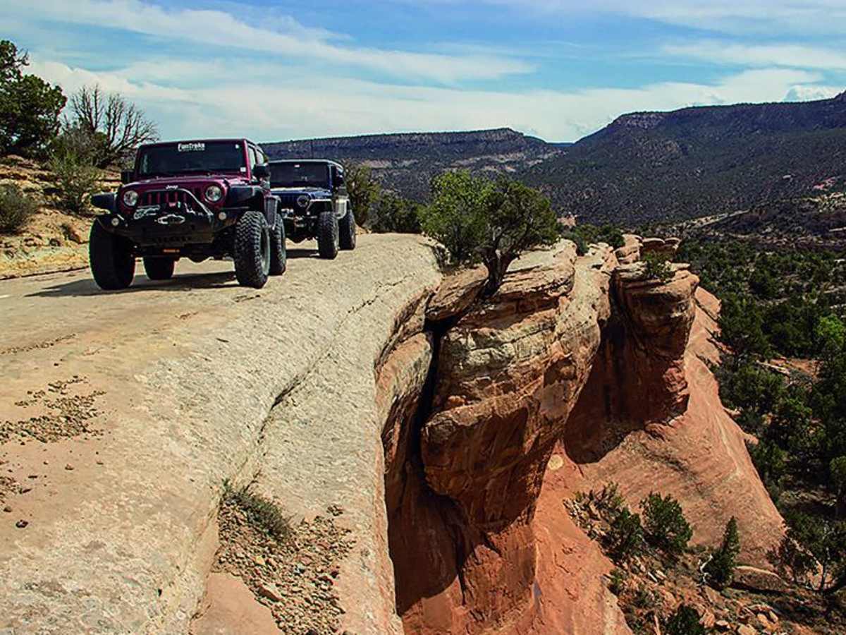
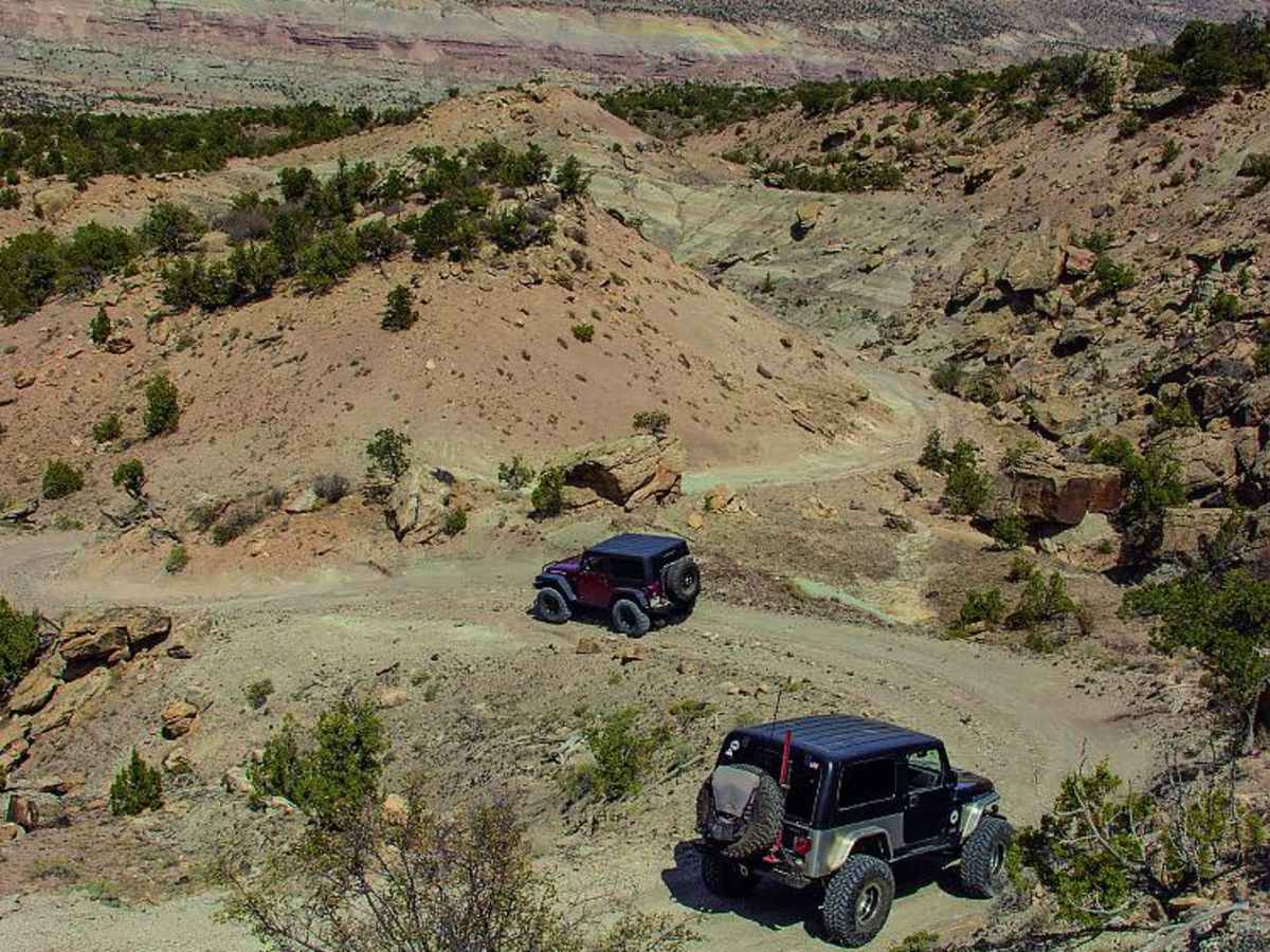
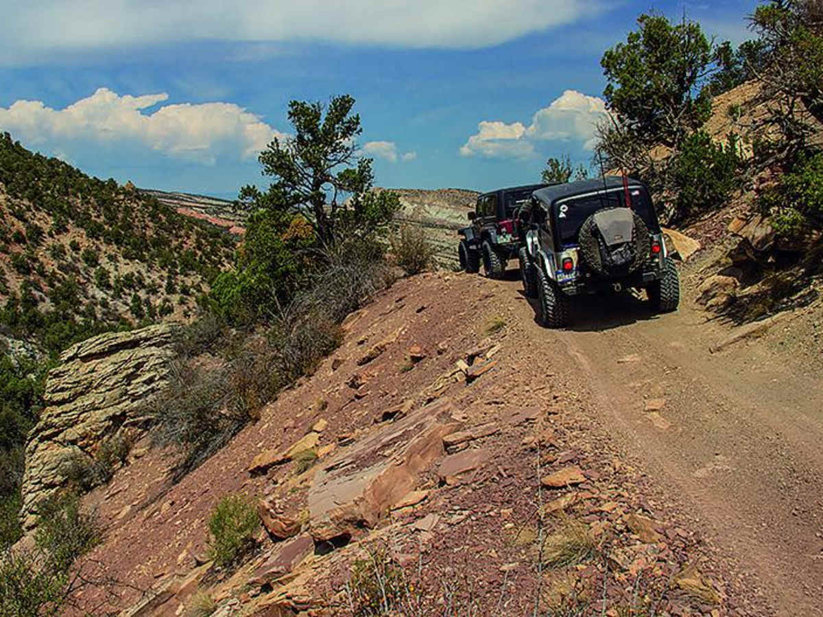
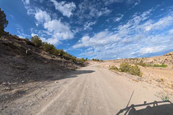
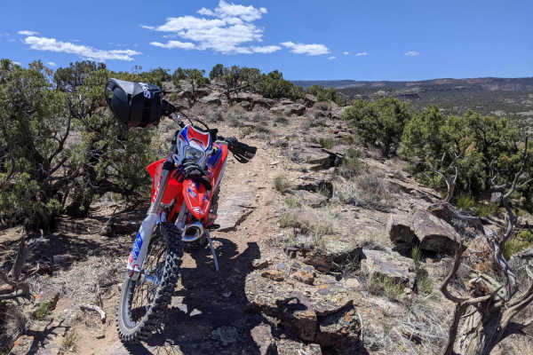
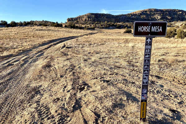
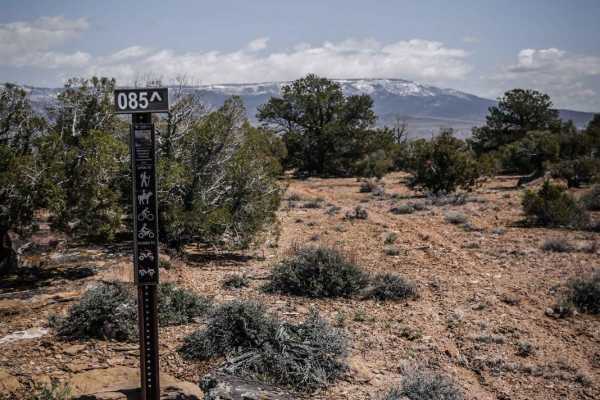
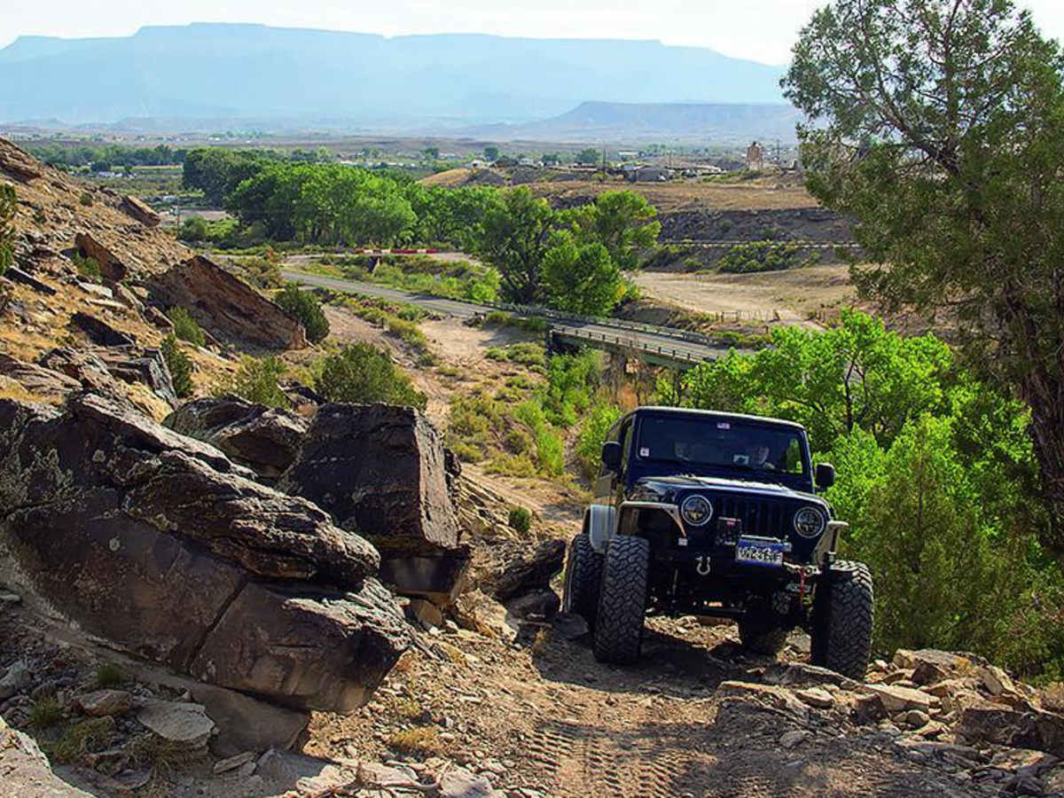
The Tabequache Trail is a challenging, 16.9-mile point-to-point off-road route within the Bangs Canyon Recreation Area near Grand Junction, Colorado. Starting on easy dirt and gravel tracks, the trail transitions into rugged terrain featuring loose rock climbs, ledges, and steep grades. The route climbs from 4,673 feet to a peak of 7,272 feet with a total elevation gain of 3,832 feet. Rated 7 out of 10 for technical difficulty, the northern sections demand very high ground clearance and capable four-wheel-drive systems. An optional play area offers concentrated slickrock obstacles. Due to the clay and dirt surface, the route is slick and impassable when wet and should not be attempted during rainy weather.

Photos of The Tabequache

Difficulty

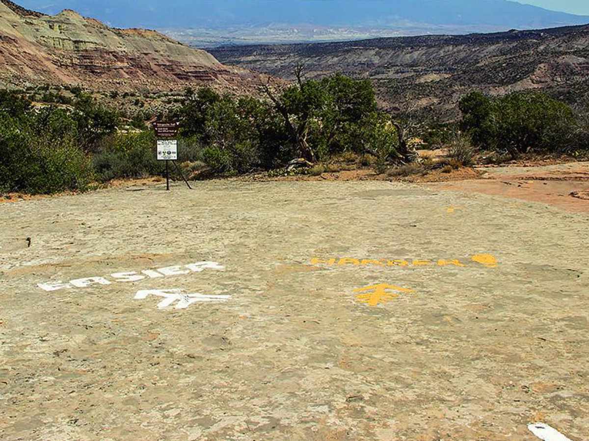
Difficult. Most of the southern part is easy to marginally moderate terrain. After Wpt. 02, trail gets more difficult with loose rock climbs and small challenging ledges. Hardest part between Wpt. 03 and 04 has driver's choices, but they were all similarly difficult when we drove it. Very high ground clearance is needed. Playground is optional. Do not attempt the trail when wet.

Technical Rating

7

Status Reports

Add Status Report
Keig Cunningham
Nov 29, 2025
Open
Normal
Was a great day in the 50s. Did the trail from south to north. It’s starts out as an easy trail then around the 6 mile mark it starts to get serious. This is a great trail with plenty of ledges, loose rocks and boulder fields. Manage to break the steering box on one Jeep.
Jimmy Jones
Jan 31, 2025
Open
Snow/IceRough/DeterioratedMuddy/WetDusty
plenty of snow on the shaded sides. muddy in places
McCale Scripps
Dec 09, 2024
Open
DustyMuddy/WetSnow/IceRough/Deteriorated
Francisco D
Nov 30, 2024
2019 Chevrolet Colorado
Open
Muddy/WetSnow/IceRough/Deteriorated
Lots of ice and snow pack. Take your time and go slow, be careful on the switch backs and ensure you air down if doing this in the snow. There is no service out here so bring a sat phone. Rollover is possible on this trail 35 inch tires recommended at minimum. Bring lots of water
Steve Holland
Sep 14, 2024
1997 Jeep TJ
Open
long. did I mention long
John Peck
Sep 13, 2024
2021 Jeep Gladiator
Open
Normal
Tyler Sauer
Aug 31, 2024
Open
NormalDusty
Sarah Tunget
Oct 22, 2023
2023 Jeep Gladiator
Open
Rough/Deteriorated
Larry Glenn
Sep 15, 2023
Open
Normal
Chance Pierce
Aug 29, 2023
Open
Normal
Riley Hennigh
May 20, 2023
Open
Normal

The Tabequache Trail can be accessed by the following ride types:

  • Single Track
  • 50 Inch
  • 60 Inch
  • High Clearance

Access Description

The trail is managed by the Bureau of Land Management within the Bangs Canyon Recreation Area. No permits or fees are required for day use, but vehicles must be street-legal or possess valid Colorado OHV registrations. Avoid traveling on the trail during wet weather or heavy rain, as the road surface becomes extremely slick, muddy, and highly susceptible to damage.

The Tabequache Map

The onX Offroad Difference

onX Offroad combines trail photos, descriptions, difficulty ratings, width restrictions, seasonality, and more in a user-friendly interface. Available on all devices, with offline access and full compatibility with CarPlay and Android Auto. Discover what you're missing today!

Open Trail Map