Trail Overview
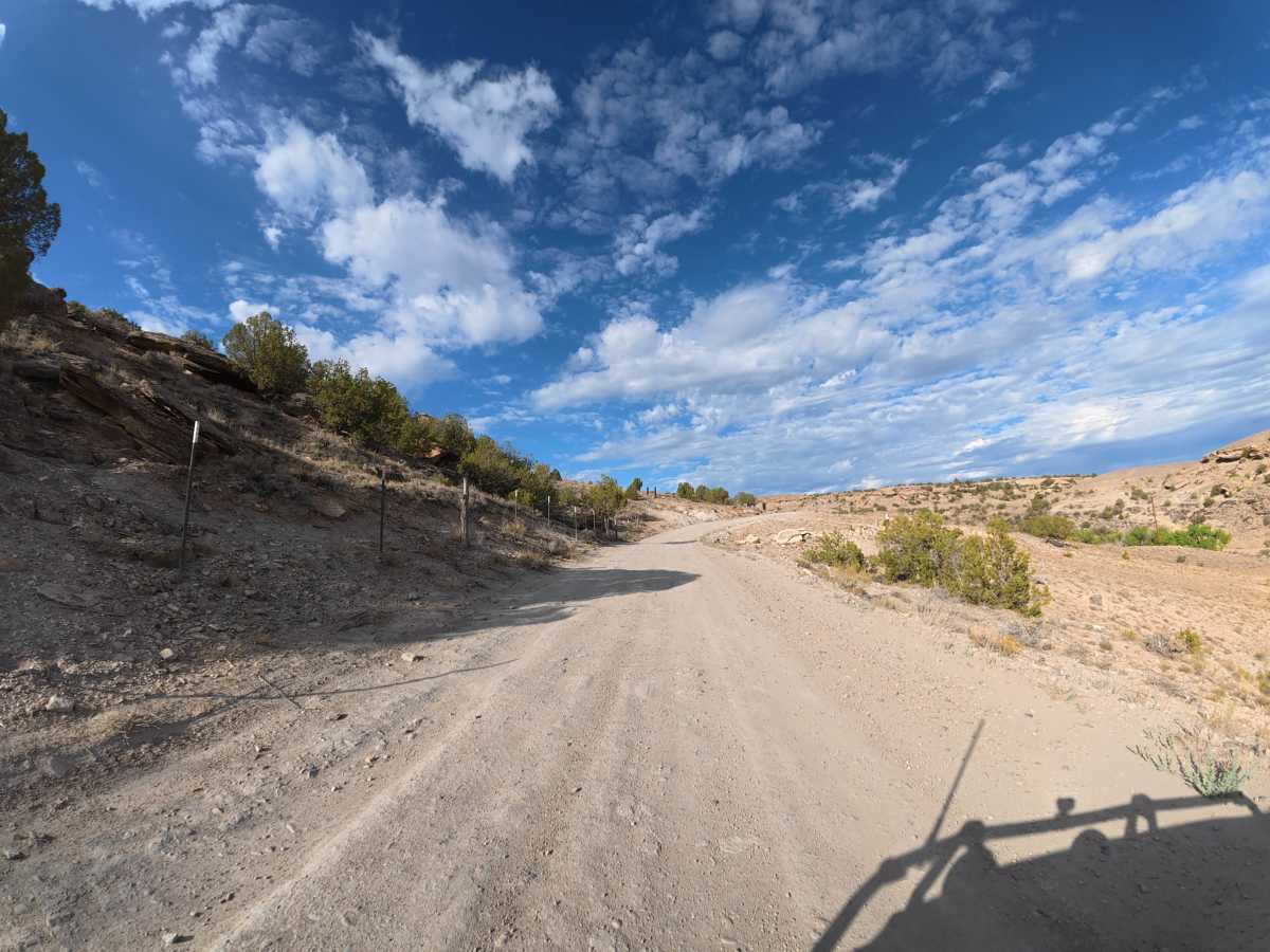
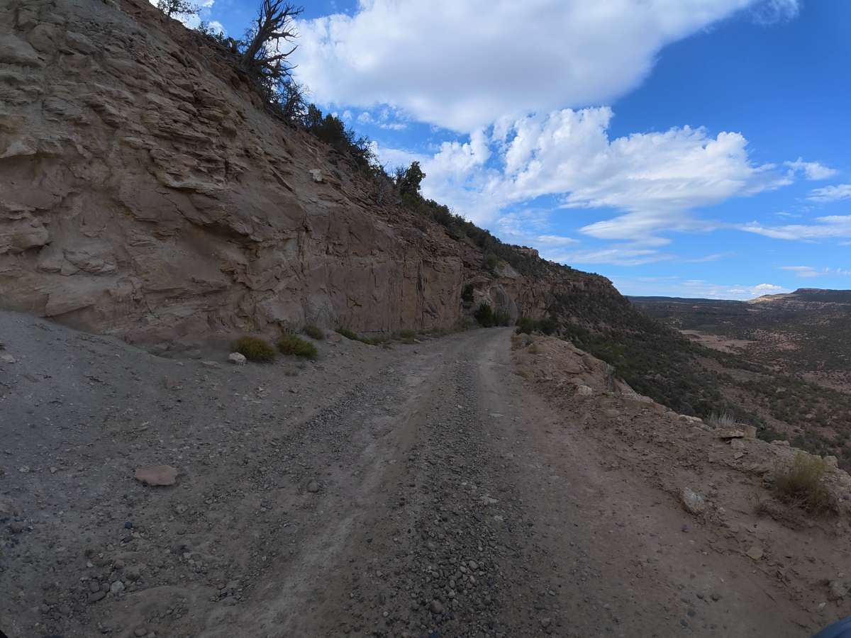
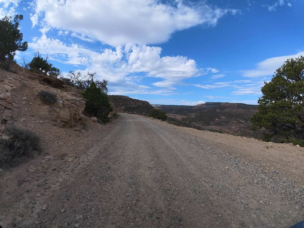
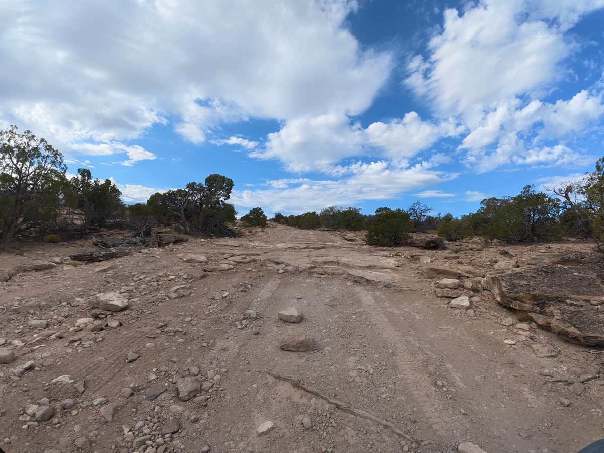
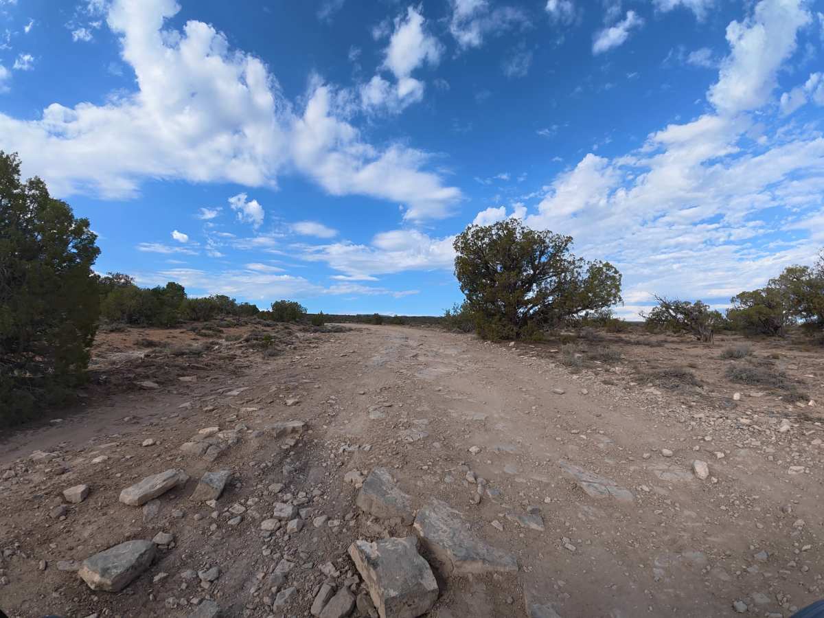
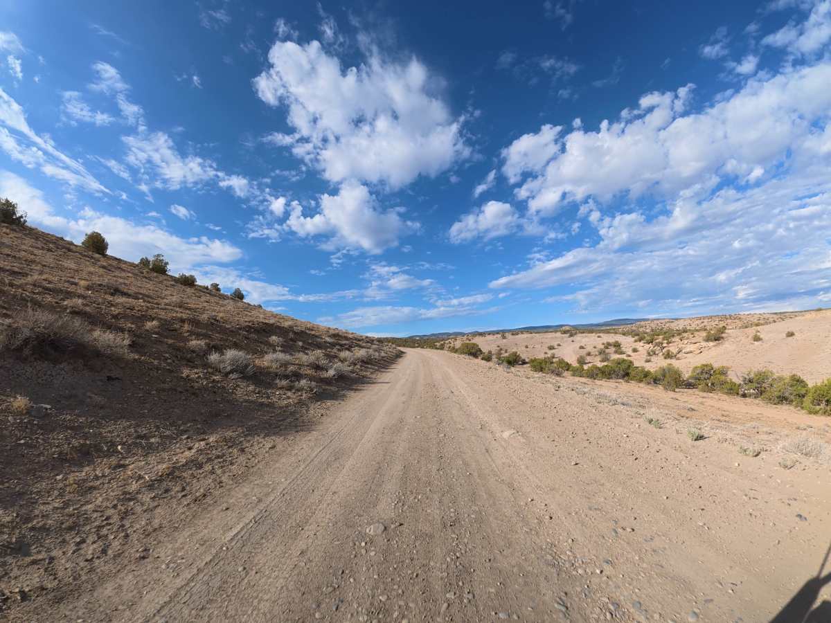
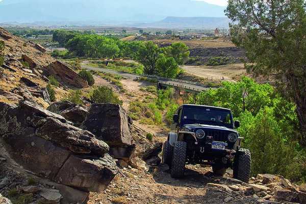
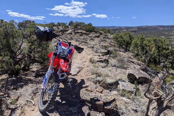
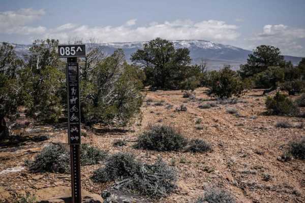
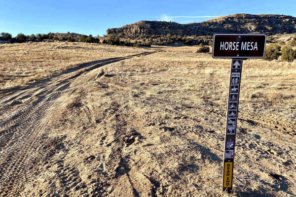
This popular scenic route begins where the pavement ends and winds around hills and cliffs with expansive views of the Book Cliffs and surrounding mountains. The trail consists mostly of fine dirt with 5–6-inch ruts, frequent whoops, rock gardens, and 6–8-inch rock ledges, becoming increasingly rocky after 3 miles. Along the way, there are access points to BLM 001, BLM 002, and BLM 004, which are open to hiking and horseback riding, as well as numerous side routes with dispersed campsites and scenic viewpoints. The trail is narrow in some sections, so use caution around oncoming traffic, especially because this is a popular local route. 4WD and all-terrain or mud tires are highly recommended, as normal road tires are not suitable for the rocky terrain.
Difficulty
This trail has increasing rockiness, 5–6-inch ruts, rock gardens, and 6–8-inch ledges, along with narrow sections. While there are no extreme technical obstacles, the rocky terrain and tire requirements make it more challenging than a typical beginner trail.
History
Gibbler Mountain exposes a remarkable sequence of Jurassic rock layers, including the Kayenta, Entrada, Summerville, and basal Morrison formations, preserving evidence of changing environments roughly 145–200 million years ago. The area is also known for dinosaur and pterosaur tracksites, including theropod footprints documented since the 1970s and additional tracks discovered around Gibbler Mountain in the 1990s and 2011.