Trail Overview
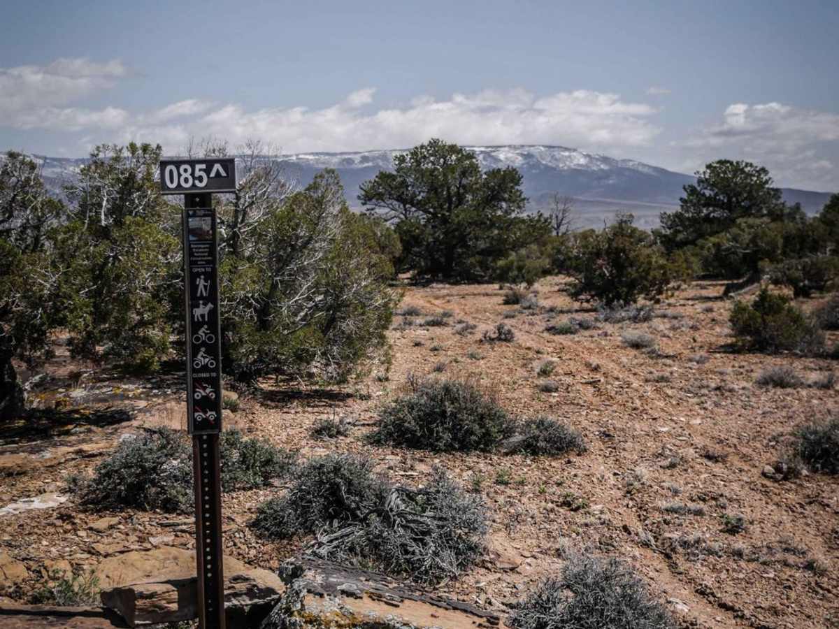
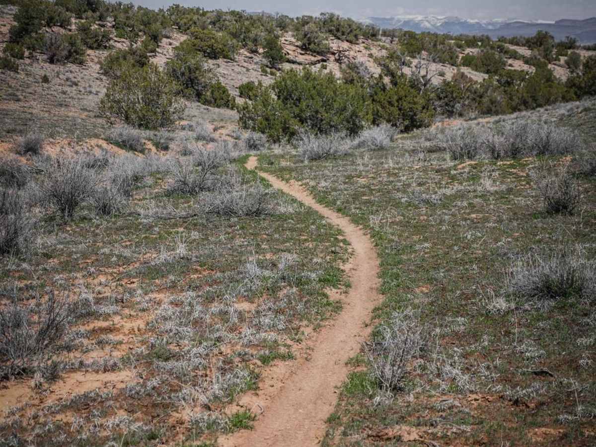
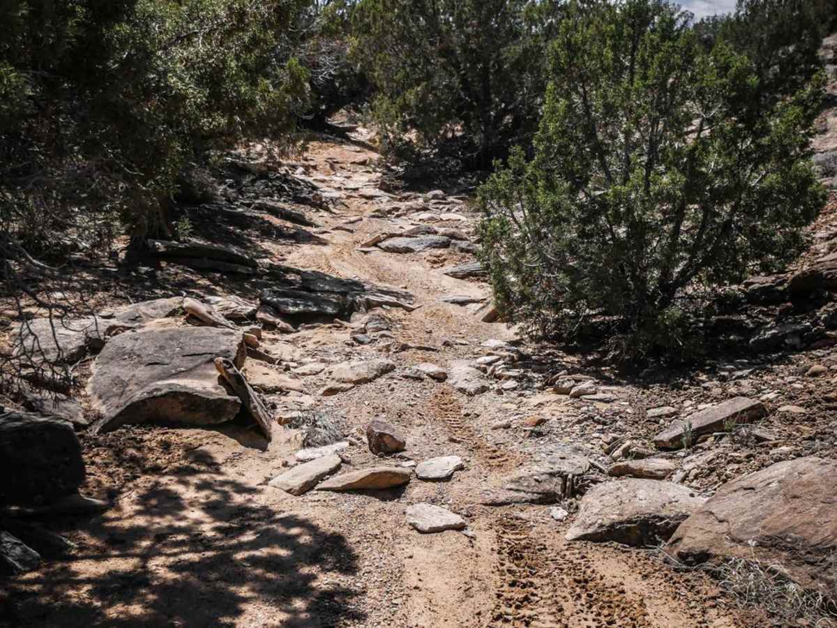
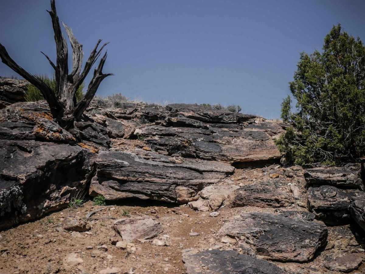
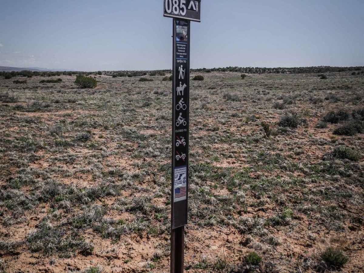
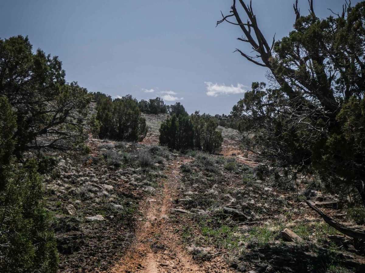
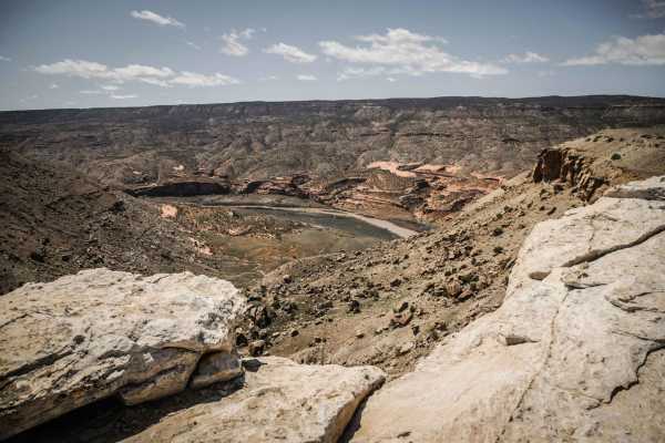
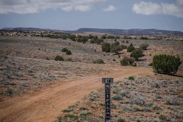
BLM Route 85 is a short single track in this trail system near Whitewater, Colorado. This trail doesn't apparently get much use, because both entrances to the trail are marked with official trail signs, but have no obvious tracks to follow leading from the signs. The tracks have either been washed away or it seldom gets ridden. You have to follow the GPS track to know where the trail is in the beginning, but the trail becomes more apparent about half way through. From the north entrance, it crosses soft dirt desert soil and drops down from a small rolling desert hill until it becomes a more defined dirt trail with small rocks. It goes into a rocky ravine that is a mix of sand and rocks but still very easy. It goes up a cool slab rock at the end with shelfy rock, rock faces, and loose rock that is difficult that takes you back up the mesa to the same road you started on. The slab rock at the end is a 4 difficulty. Overall this is a moderate trail, but it needs to get ridden more in order to beat in the trail in the beginning and ending.
Difficulty
The difficulty comes from the one big rock slab ledge section, and having to route find, since there are no tracks to follow at the beginning.