Trail Overview
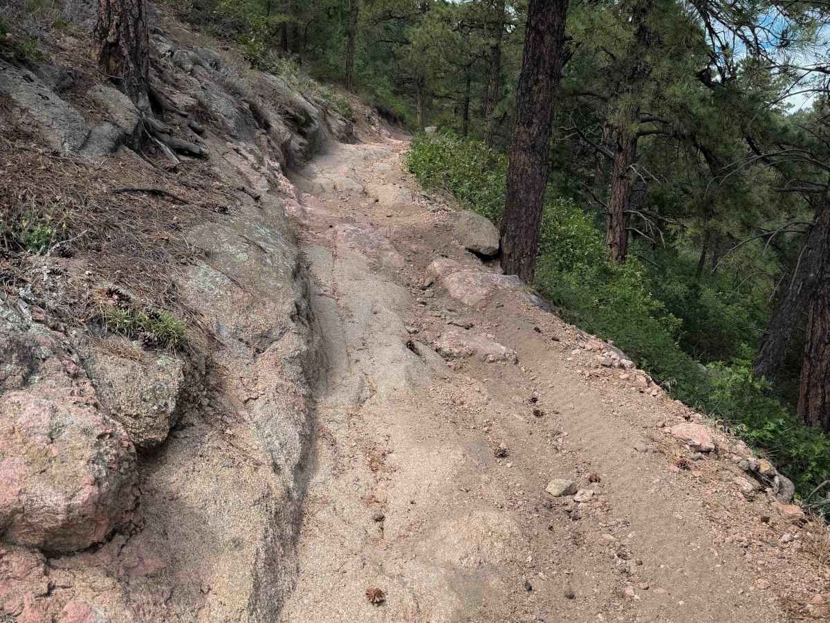
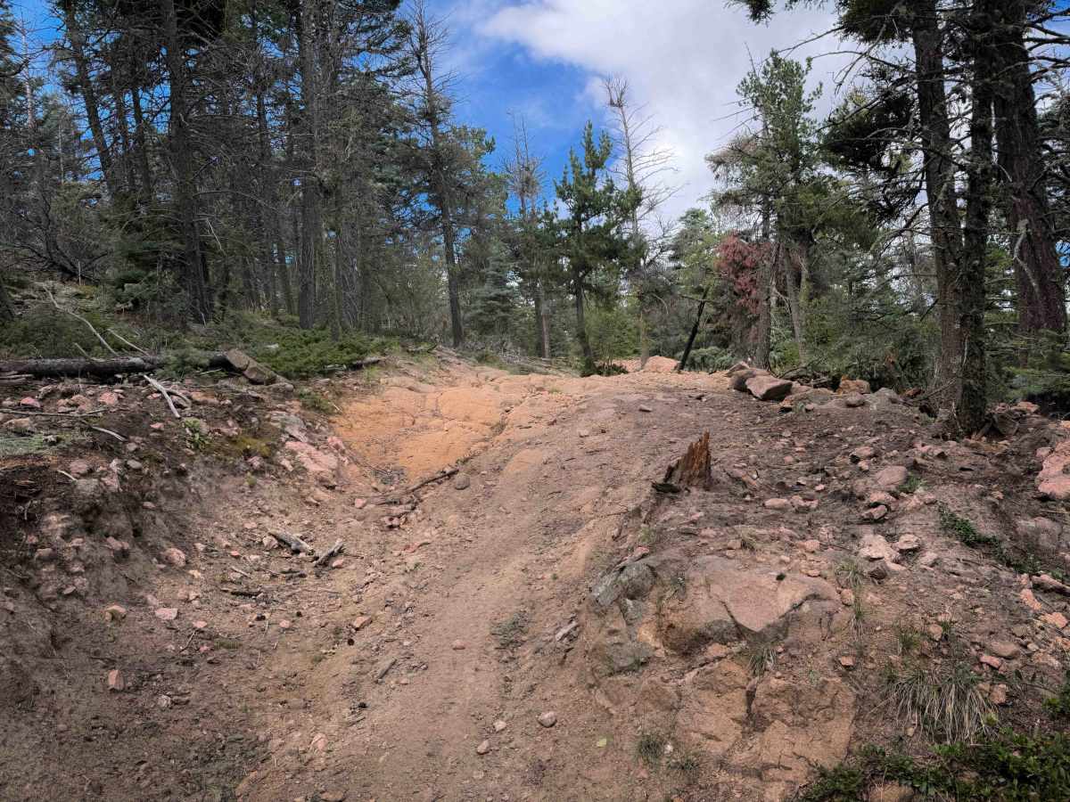
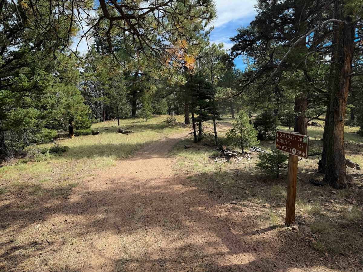
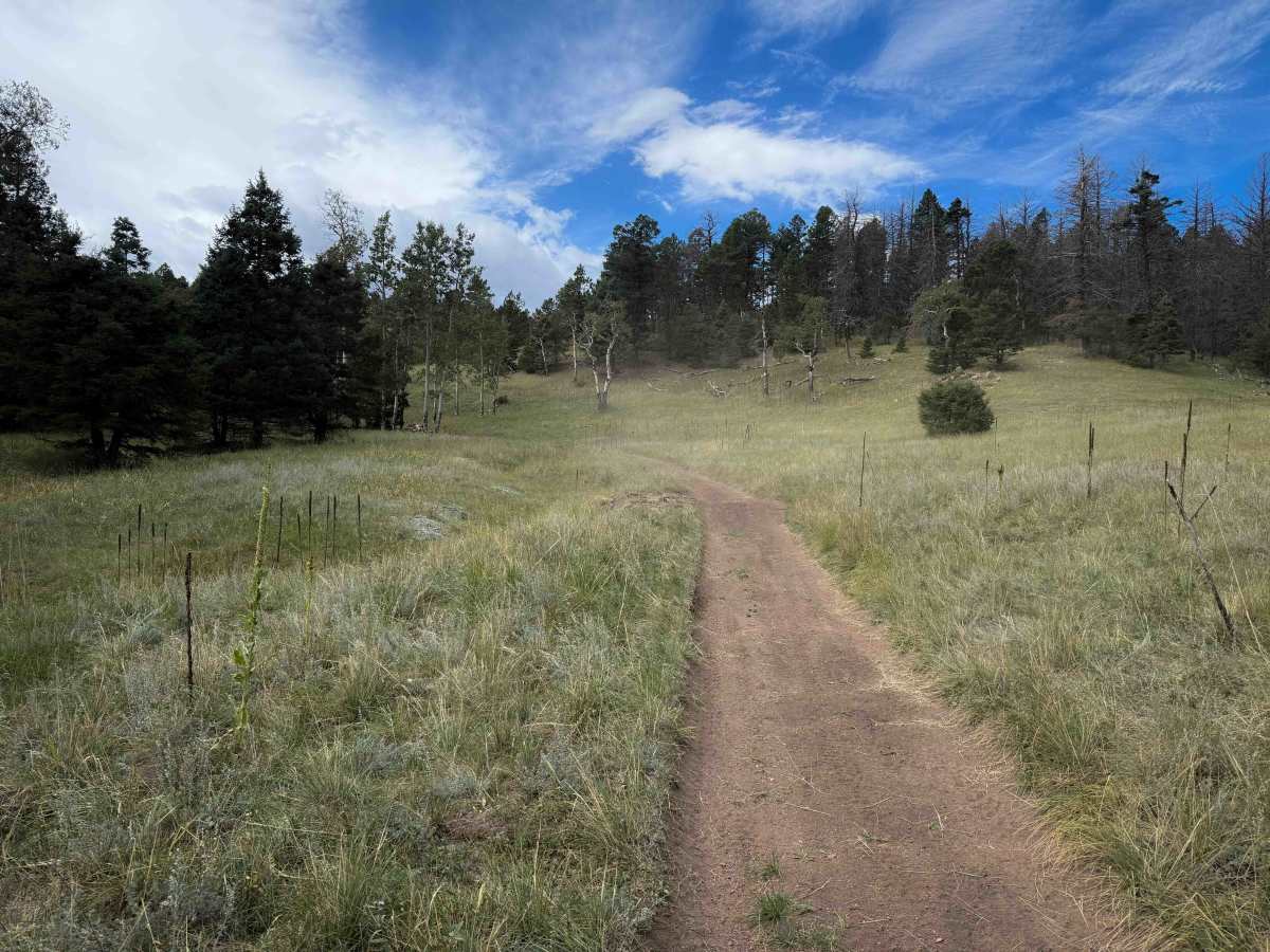
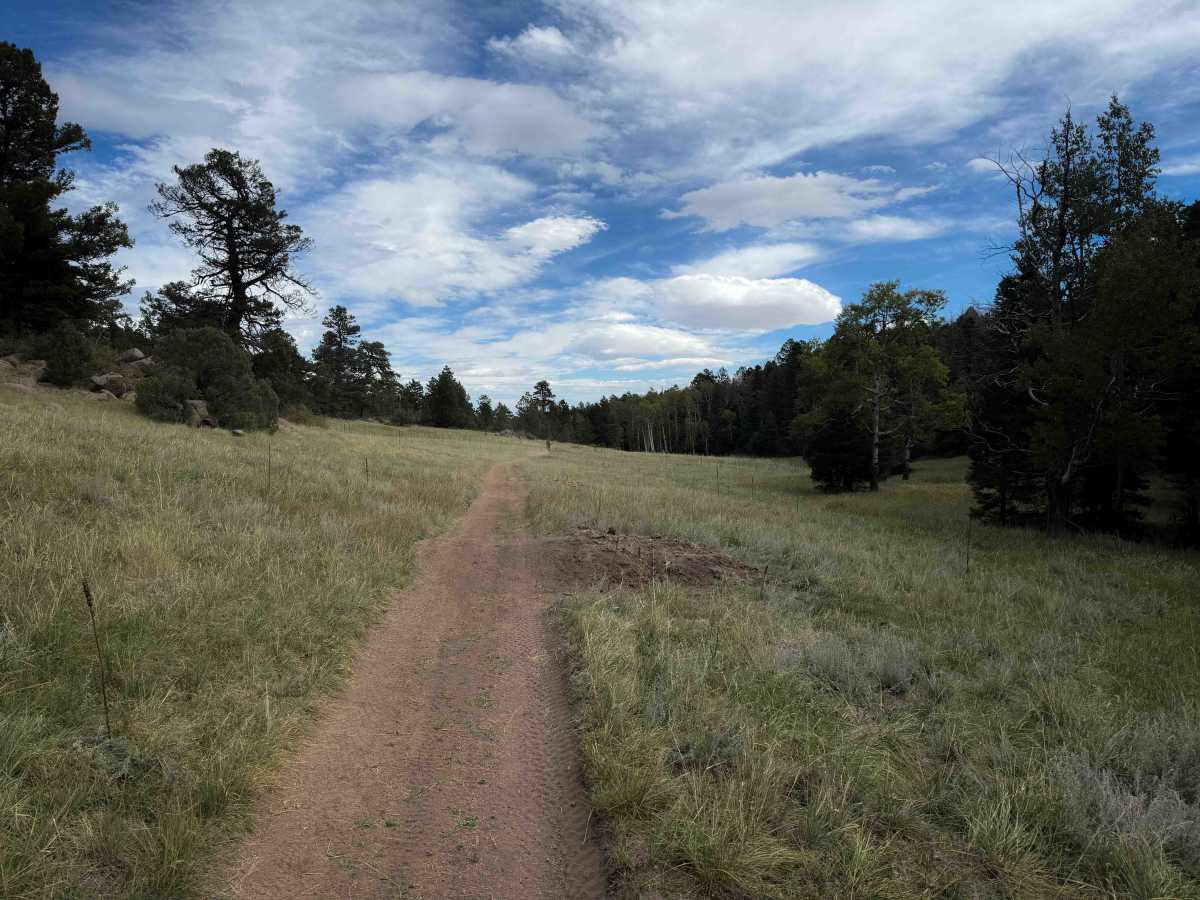
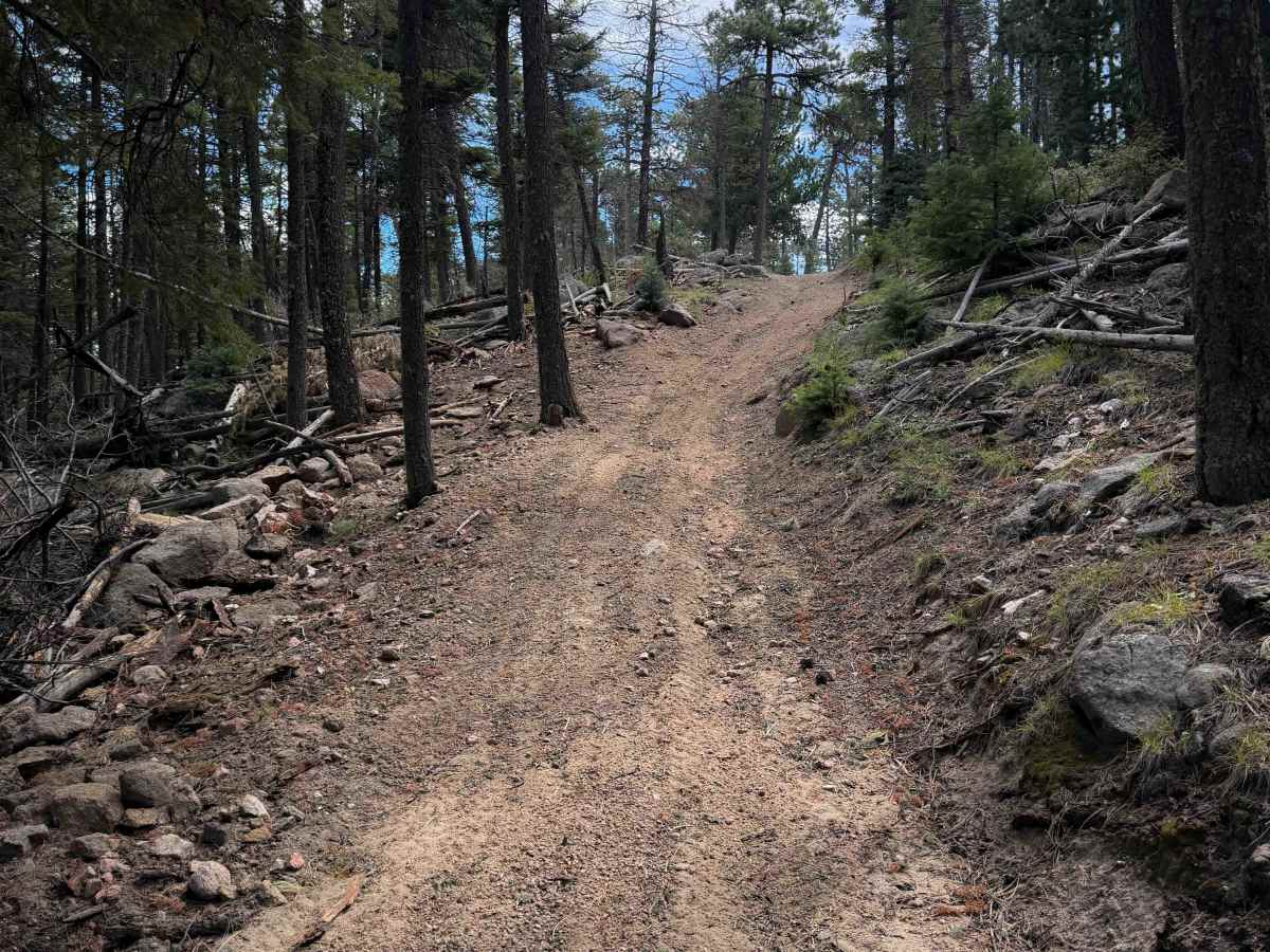
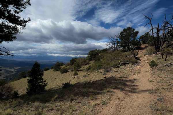
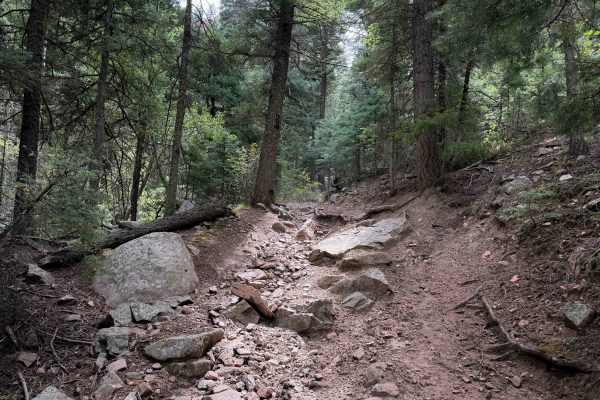
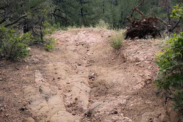
Stultz Trail is a 6.4-mile-long easy ATV trail through the San Isabel National Forest, south of Cañon City, Colorado. The trail is a gradual descent from west to east, dropping over 2,500 feet in elevation throughout the route. The first 5 miles are very easy, starting on a grassy and forested hilltop through wide open meadows, then gradually descending through the forest on a wide two-track with sweeping curves and mild switchbacks. The trail is mostly pea-gravel, so it can be slightly slippery at times. It rides past giant granite rock outcroppings and has fantastic views of Cañon City and the Wet Mountains as it descends. It’s not a very rocky trail until the last mile on the east end, where there are a couple of uneven slab rock layers covering part of the trail that are easy to ride over. The trail is not off-camber and is in great shape, not rutted out or overly ridden. It looks lightly trafficked and well-maintained. It becomes a bit more exposed on the east end as well as it continues as a shelf trail cut into the mountainside, following the curvature of the mountain and dropping down to the Stultz Trailhead.
Difficulty
The route is easy because it only has a couple of rockier sections on the east end that are slabs of uneven rock layers, and a bit of mild exposure when the trail gets narrow and shelfy. The majority of the trail is very gradual, smooth, and flowy, ideal for less experienced ATV riders.


 Offroad