Trail Overview
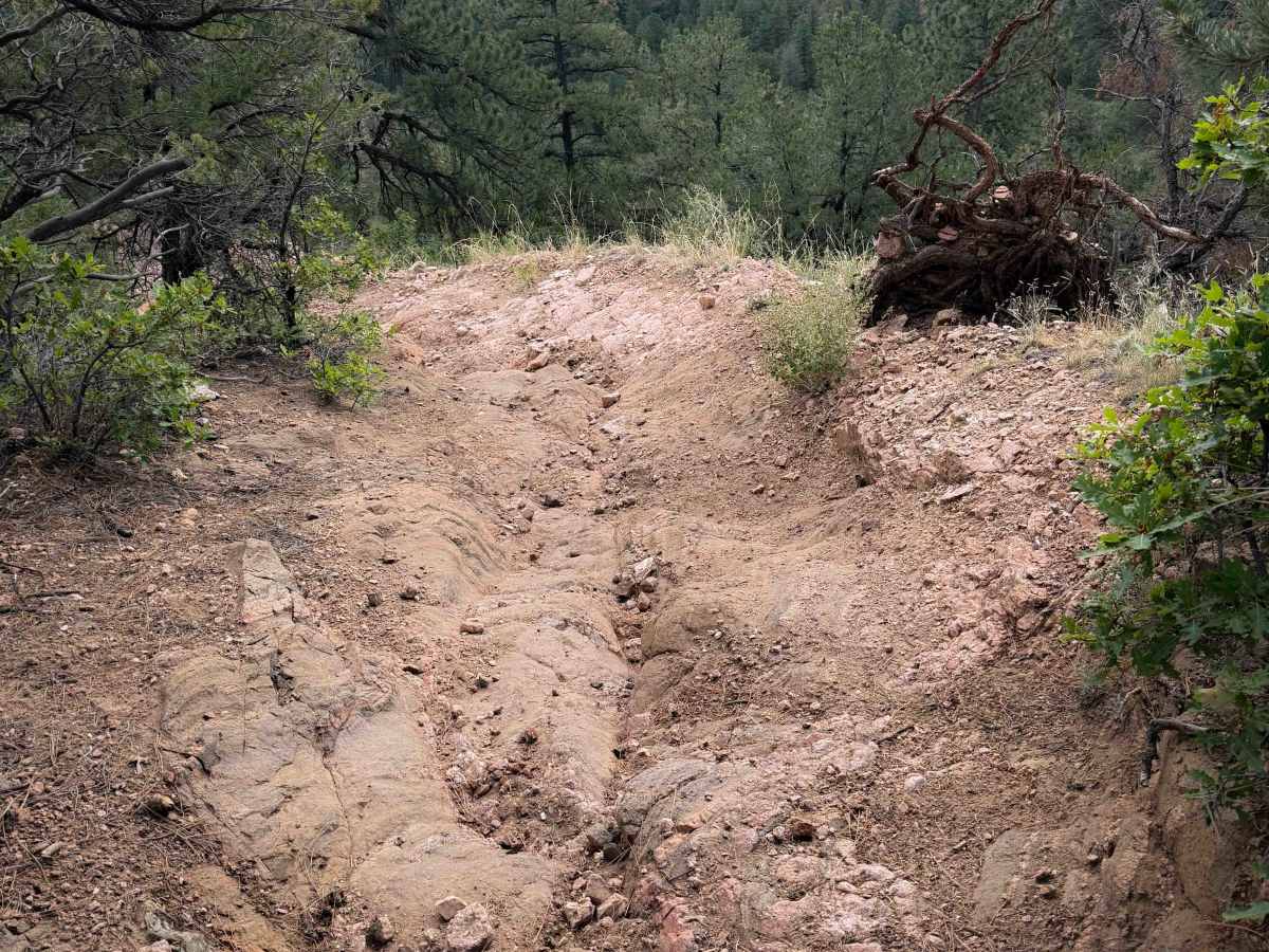
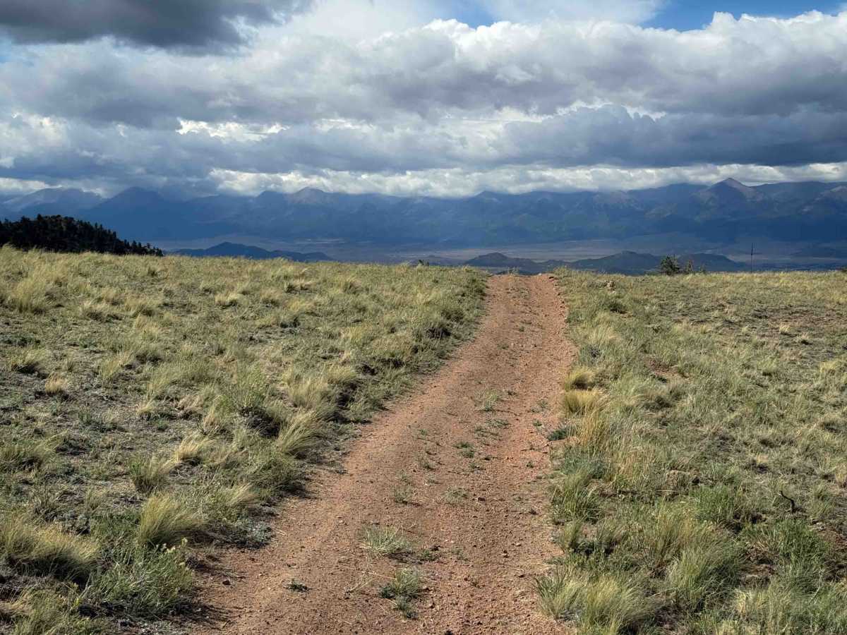
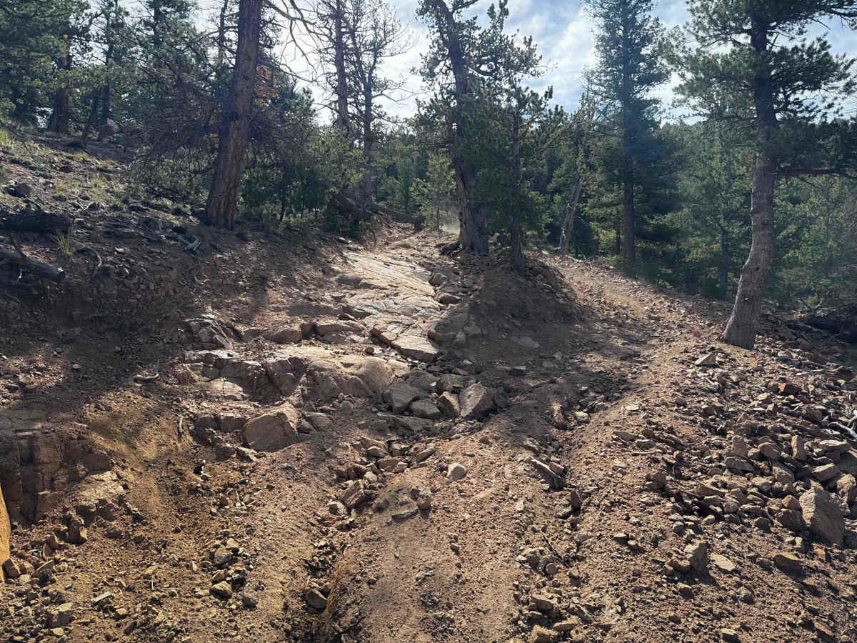
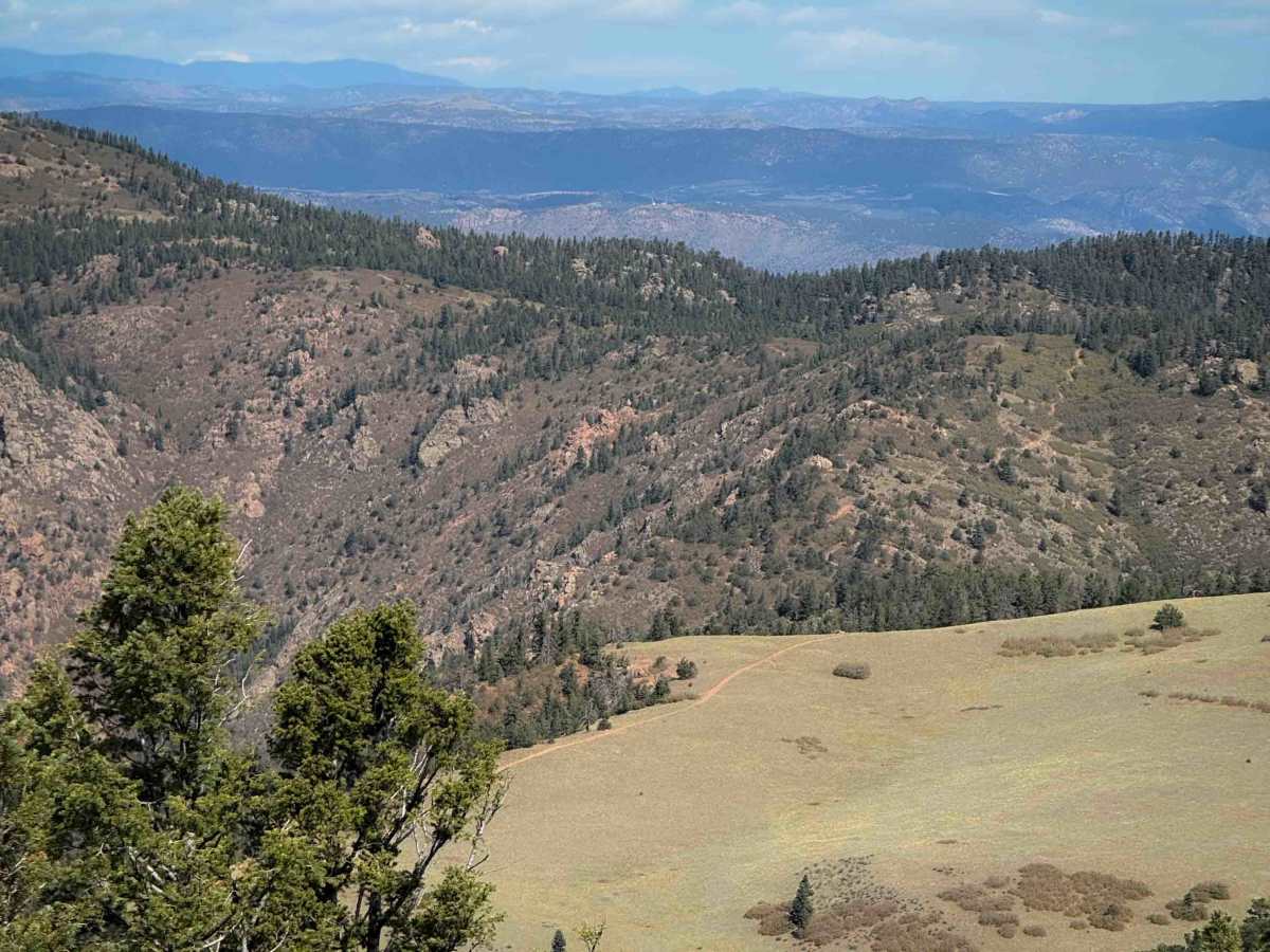
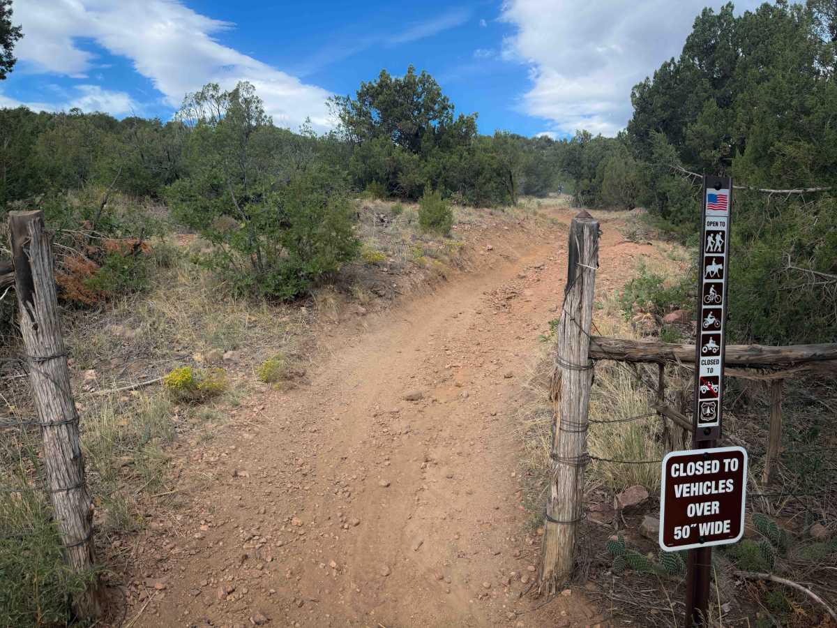
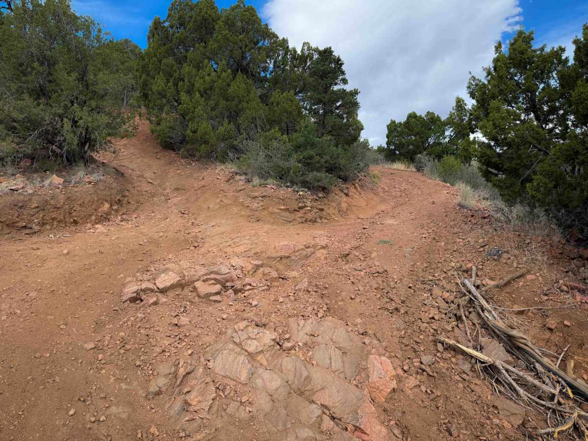
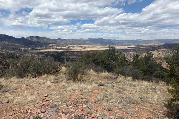
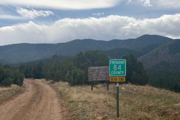
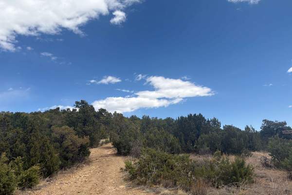
Tanner Peak Trail is a long and technical ATV trail near Cañon City, Colorado. There are fun rocky challenges in every mile of the 10-mile-long route. The trail is in great shape- not rutted out or off-camber, clear of logs, and an ideal width for 50 inches vehicles. Starting at the Tanner trailhead, it starts climbing immediately, the first 1.5 miles being the steepest. It has several technical switchbacks in the beginning that are tight and steep, with moderate rock ledges on the inside corners. It continues as a shelf trail with mild exposure on the hilltop, riding over several long slab rock features with uneven and chunky layers. The dirt is mixed with pea-gravel, which makes it very slick, especially when cornering. There are several bigger obstacles and steep climbs where the trail is split-lined, so there are easy bypasses around some of the harder obstacles. After 6 miles, the trail intersects with the hiking trail to the top of Tanner Peak and goes south, towards the intersection with Stultz Trail. Part of the trail gets flowy and easy as it rides on the hilltop through grassy meadows, but there are several more difficult climbs in the last couple of miles of trail that are steep and loose with rock ledges. The trail has fantastic views all throughout the ride, overlooking the Wet Mountains. In the beginning, it goes through a high desert landscape full of juniper and pinyon trees, but as it gains elevation, close to 9,500 feet, it goes through more ponderosa pines and forested terrain.
Difficulty
This trail is intermediate difficulty for ATVs because there are frequent rock ledges that are made of uneven and chunky layers of rock, or sometimes long slabs of rock. There are several steep climbs and descents throughout the long route. You get easy and flowy sections between the obstacles, but there are moderate rock features throughout the 10 miles.