Trail Overview
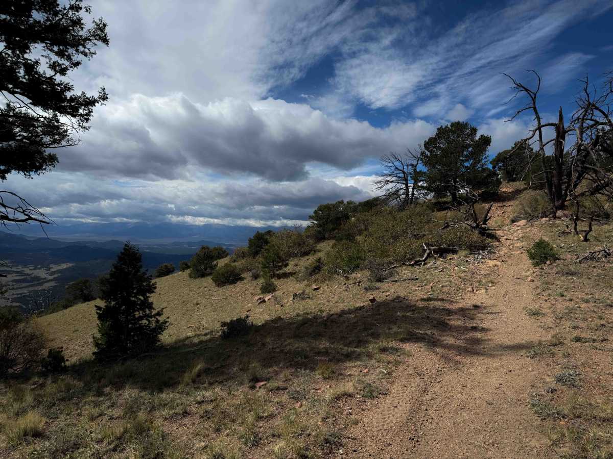
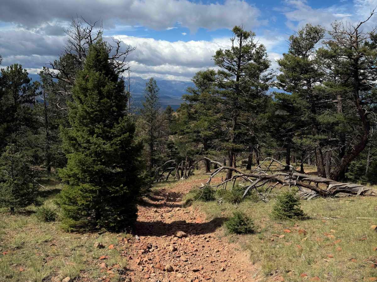
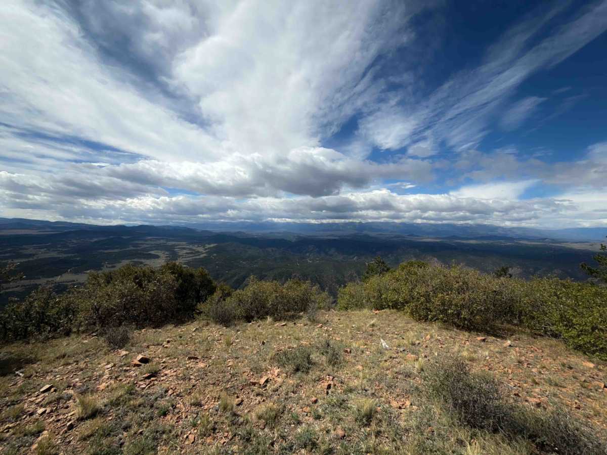
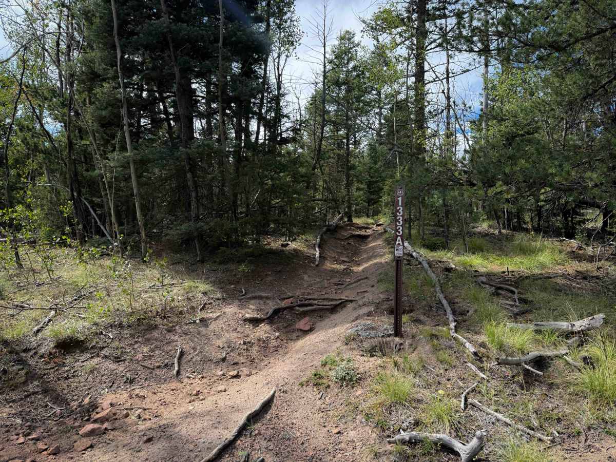
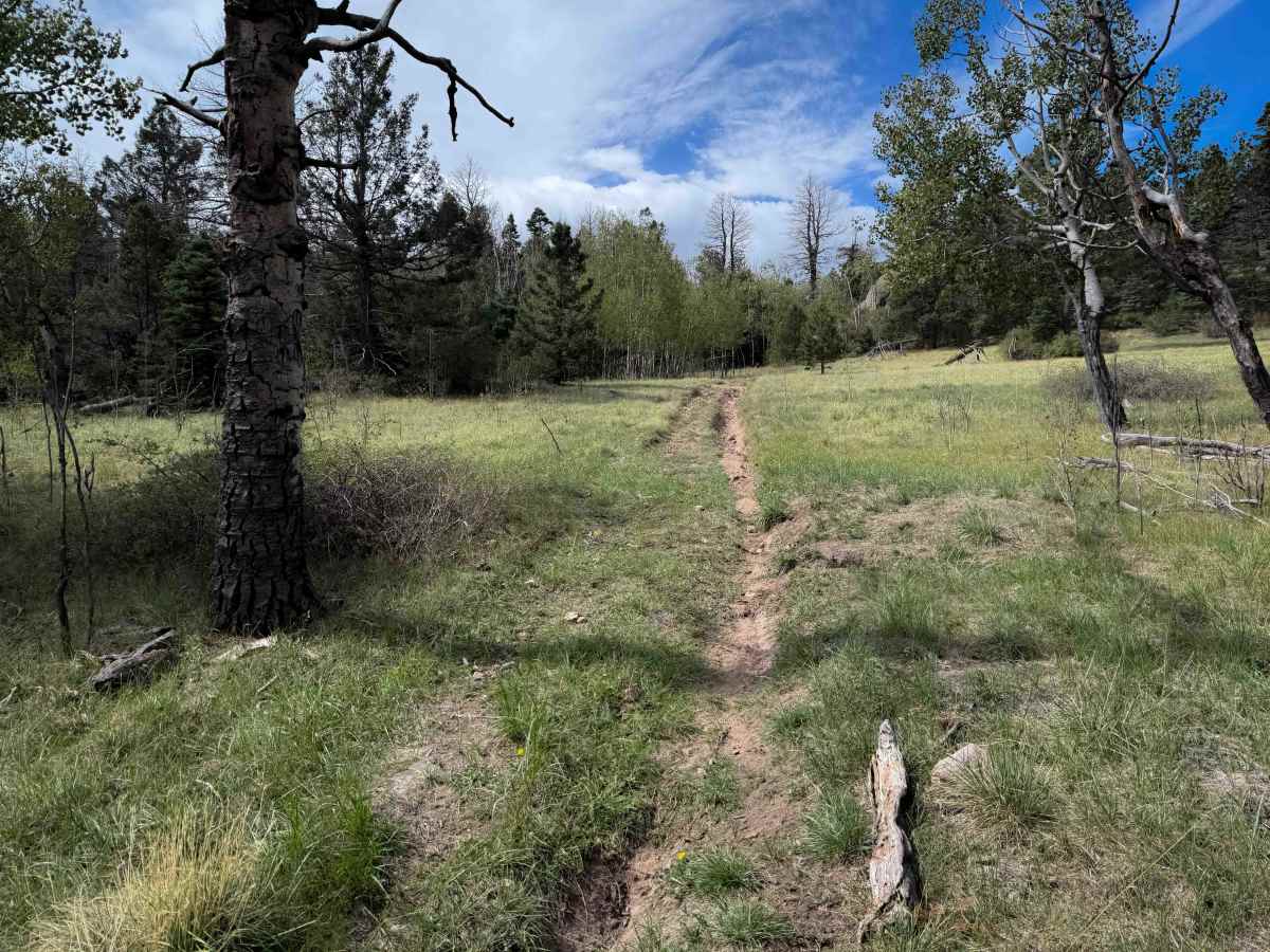
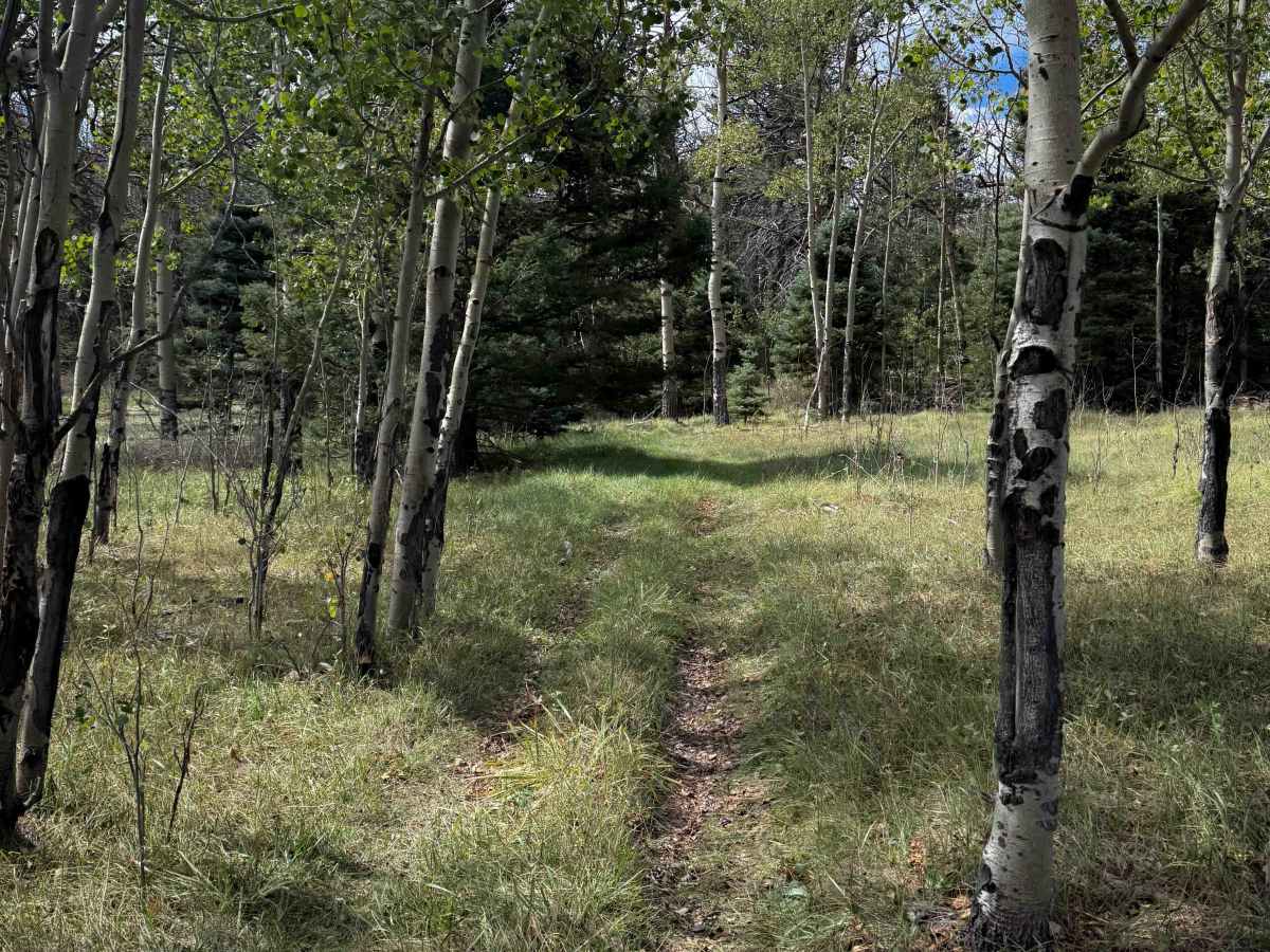
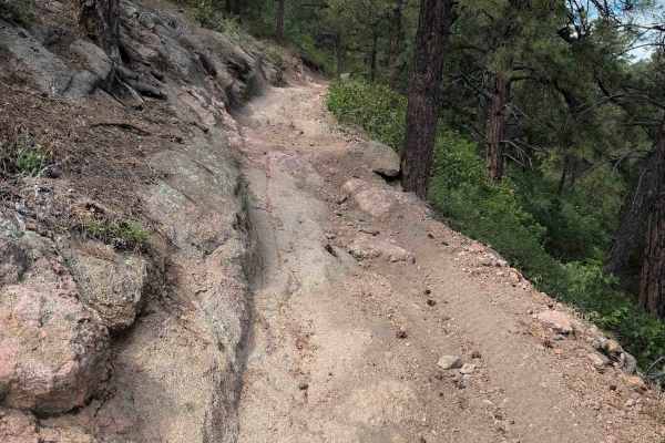
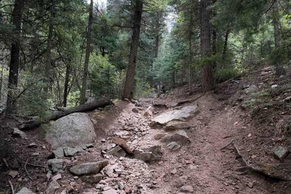
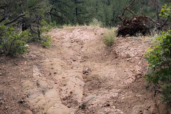
FSl 1333A is a short ATV spur off of Tanner Peak Trail that leads to an incredible view overlooking the Wet Mountains and several homes in the Yorkville valley. The short trail is about a half mile long and will be ridden as an out-and-back, making it a quick detour with a very rewarding view. It starts off with a gradual ascent over a grassy and overgrown hilltop on a less-ridden two-track. Then it descends down a rocky slope with lots of loose cobble rock in the trail and a ramped rock ledge that is easy. The hilltop is wide, so there is no exposure, and the trail is mostly gradual. It ends on a knoll overlooking the valley below, with space for several ATVs to park and enjoy the view, with ample space to turn around. It makes for a fantastic lunch/break spot when riding Tanner Peak Trail.
Difficulty
This is an easy trail as it has mild rocky features such as a layer of big loose rocks, a couple of short rock ledges that are ramped and easily approachable, and a gradual slope. For beginner riders, it is best approached through Stultz Trail, which is also easy. There are a few roots and potential for small logs down.