Trail Overview
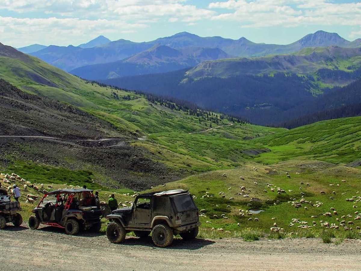
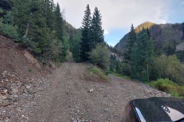
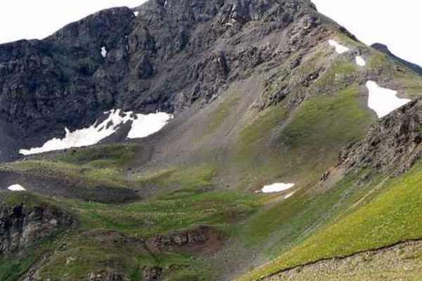
This moderately challenging high-altitude trail is perfect for four-wheel-drive enthusiasts seeking stunning alpine scenery and a steep, historic climb through the San Juan Mountains. Spanning approximately 1.4 miles, this rocky route begins near Stony Pass at 11,133 feet and climbs to a peak elevation of 12,556 feet near the historic Buffalo Boy Mine. The trail features a technical rating of 5, presenting mildly rocky terrain, steep ascents, and narrow passages that require high-clearance four-wheel-drive vehicles with low-range capabilities or capable SxSs.
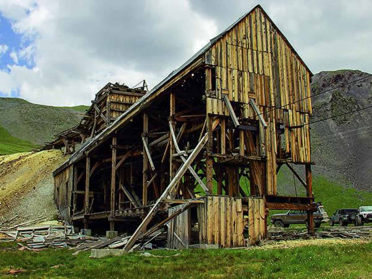
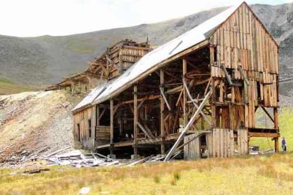
The trail traverses through Sterling Gulch and Rein Gulch, providing direct access to the well-preserved Buffalo Boy Tram House and the scenic Kite Lake area. Drivers should expect narrow shelf roads and muddy sections, particularly during the spring snowmelt when adjacent waterways like Pole Creek can run deep. The route is situated within a highly active historical mining district, allowing visitors to view remnants of the region's late 19th-century gold rush while navigating the rugged high-alpine terrain.
Difficulty
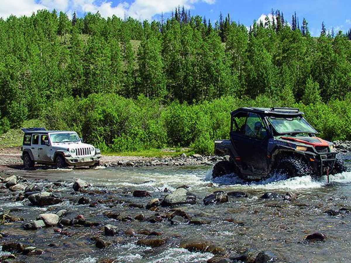
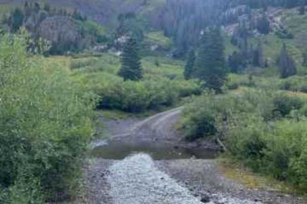
Moderate. Mildly rocky and steep in a few places but suitable for aggressive high-clearance SUVs with low range. Pole Creek can get quite deep in the spring. The side trip up to Buffalo Boy Tram House is steep and narrow. The road to Kite Lake can get muddy, narrow, steep and rocky.
History
The trail passes near the historic Howardsville Townsite, a former rival to Silverton that boomed in the 1870s with around 30 buildings and its own post office active until 1939. An active mining company now occupies the townsite area. The hanging ore bucket system visible along the climb to Stony Pass is part of the historic cable and tram system connecting to the Buffalo Boy Tram House. Stony Pass itself served as a primary supply route between Del Norte and Silverton until the completion of the Denver and Rio Grande narrow gauge railroad in 1882 led to its abandonment.
Access Description
The trail reaches elevations up to 12,556 feet and is subject to winter weather closures and heavy snow accumulation. During the spring snowmelt, the road can become extremely muddy, and the crossing at Pole Creek can run deep, making navigation difficult.