Stony Pass

Total Miles38.3
Technical Rating
4Moderate
Best TimeSummer, Fall
Trail TypeHigh-Clearance 4x4 Trail
Accessible By
Open Trail Map

Trail Overview

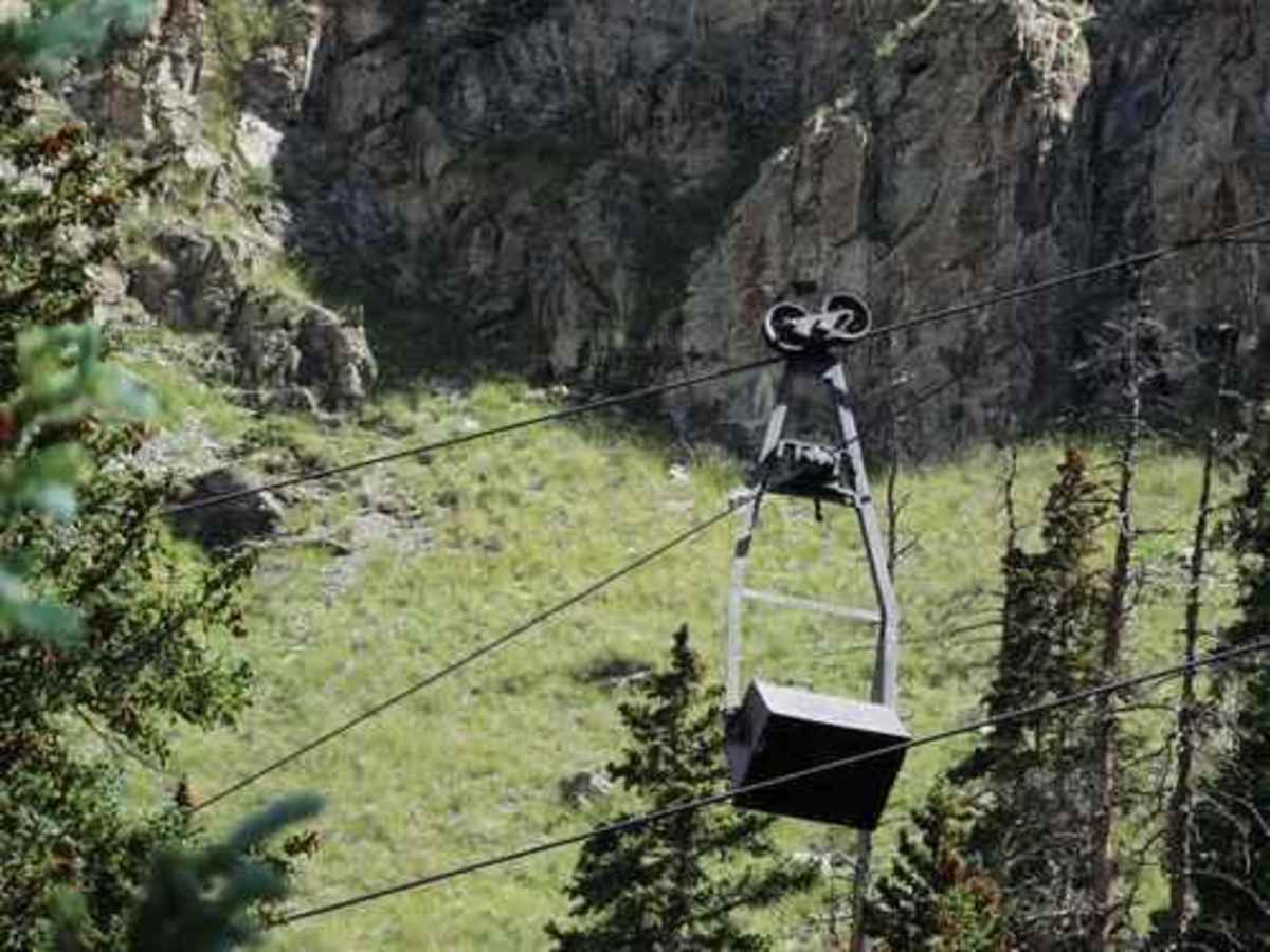
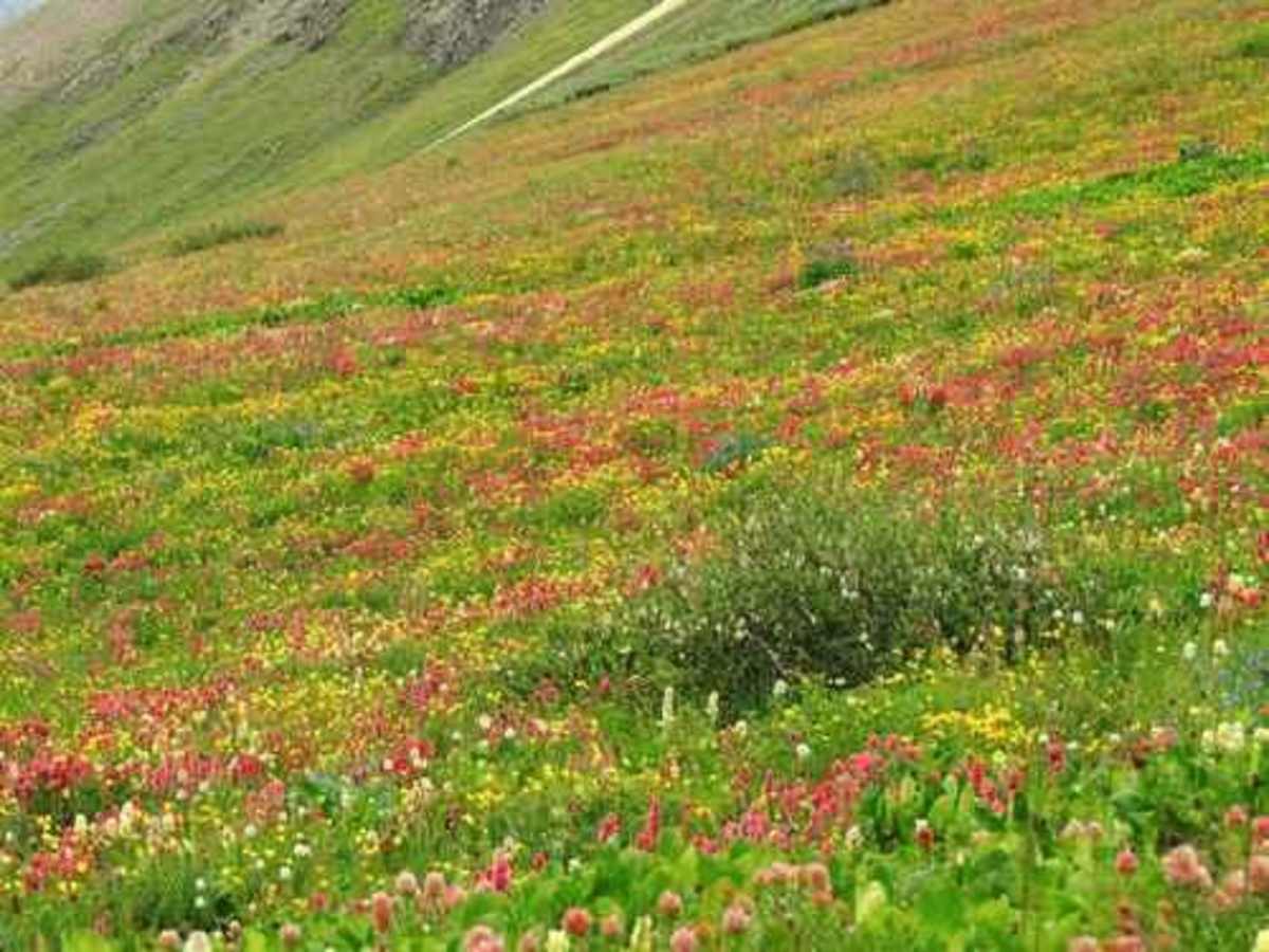
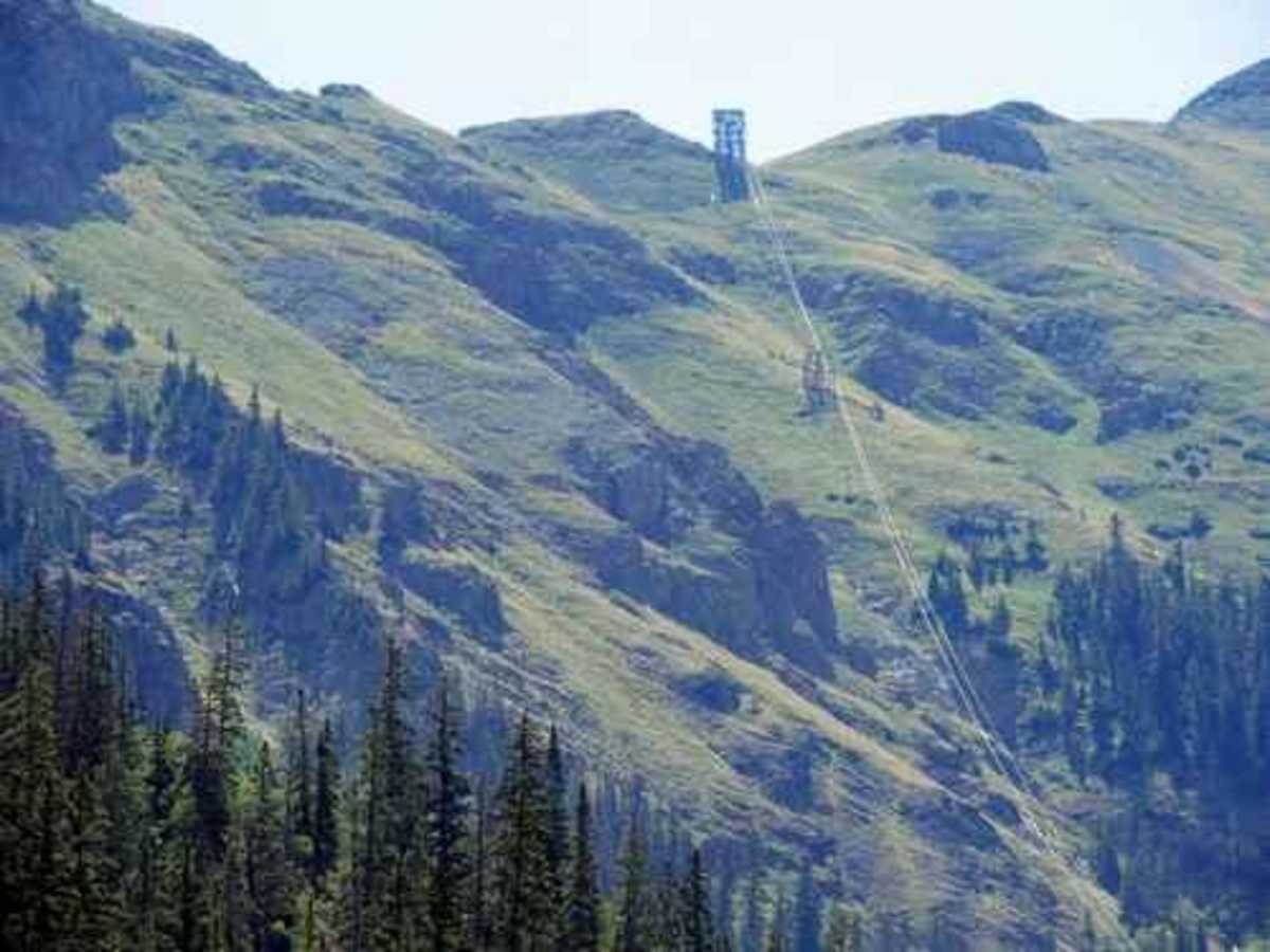
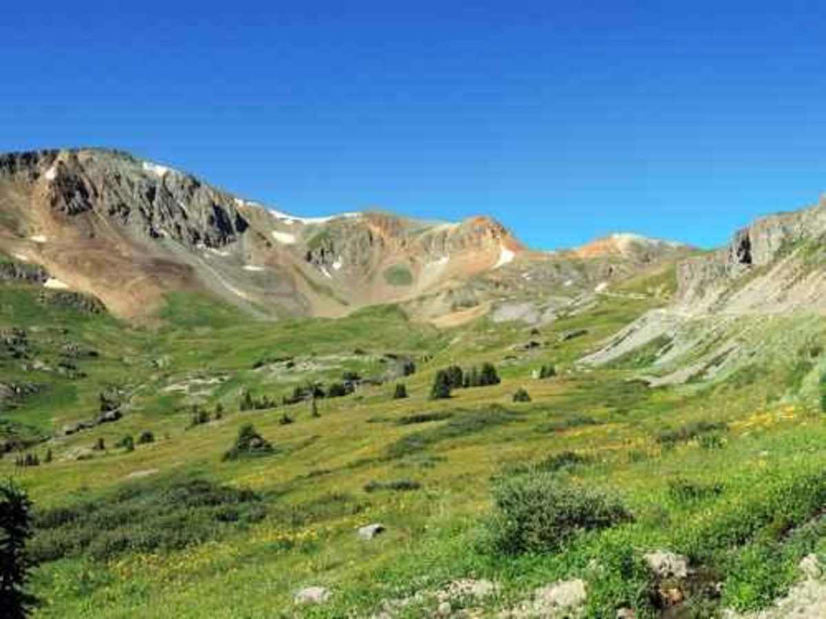
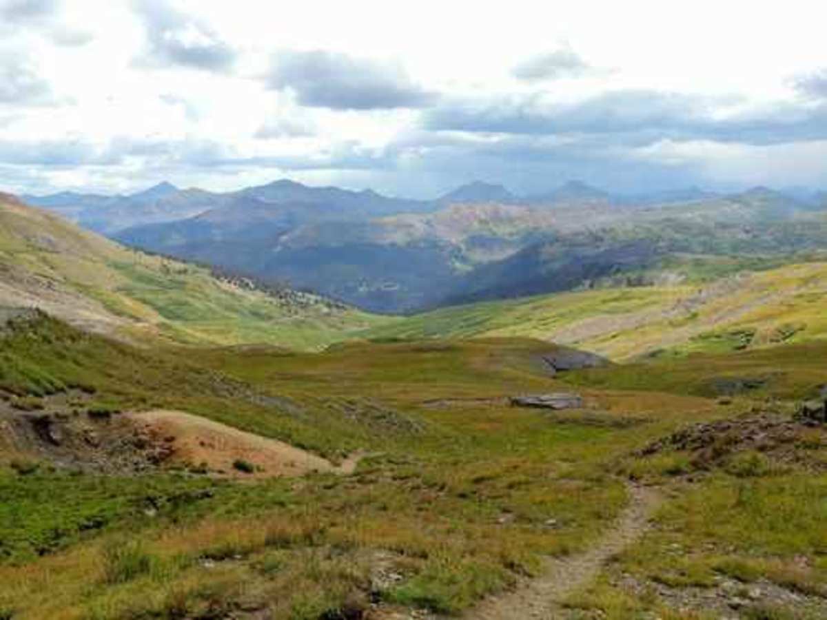
Stony Pass is an exceptional high-mountain route for moderate offroaders seeking to traverse the spectacular San Juan Mountains from Silverton to Highway 149 near the Rio Grande Reservoir. Spanning over 38 miles and climbing to a maximum elevation of 12,592 feet, this four-wheel-drive trail offers breathtaking alpine scenery, including vibrant, late-season wildflowers and historic mining remnants. The trek begins with a steady climb from Silverton up the western slopes, where travelers can spot the surviving towers and buckets of the historic Buffalo Boy aerial tramway. This section requires a high-clearance four-wheel-drive vehicle or capable SxSs to navigate loose rocks, ruts, and short, steep grades, with a technical rating of 4 due to potential obstacles up to 18 inches. Reaching the summit at the Continental Divide provides expansive vistas before descending the eastern side, where the headwaters of the Rio Grande River originate as small streams trickling alongside the trail. Beyond the pass, the route winds through high-country grazing lands where sheep frequently roam during the summer months. The descent towards Kite Lake and onward to the Rio Grande Reservoir spans about 10 miles of more challenging and engaging terrain, featuring uneven dirt surfaces, occasional mud holes, and water crossings that can reach up to a foot deep. Side trips like the spur to Kite Lake or the Buffalo Boy trail offer excellent opportunities to explore deeper into the alpine basin and inspect the upper tramway terminal. As the trail approaches the reservoir, the path transitions into a well-graded road leading to Highway 149, making it accessible for a wide variety of rigs on the eastern terminus. Planning this trip for late summer ensures the route is free of snow pack while maximizing the spectacular floral displays unique to this high-altitude corridor.

Photos of Stony Pass

Difficulty

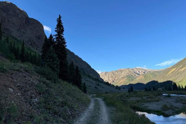
This is an uneven, rutted dirt trail with loose rocks, sand, erosion, and washes. Potential water crossings are up to a foot deep, and there are mud holes and obstacles up to 18 inches, including ledges and short, steep grades. Roads are typically one vehicle wide with places to pass.

History

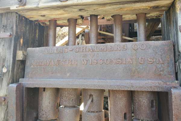
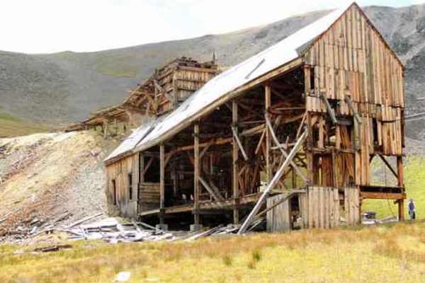
The trail features remnants of the Buffalo Boy aerial tramway, complete with surviving towers and several tram buckets still hanging on the cables.

Technical Rating

4

Status Reports

Add Status Report
Carter Breckenridge
Oct 03, 2026
Open
Muddy/Wet
Couple 2ft deep water crossing, covered up the 21 inch front tire on our bikes, but passable by adventure bikes with skilled riders
Jeff & Lucy Freyou
Oct 02, 2026
2023 Ford Bronco
Open
Normal
Great day on the trail. Moose, Elk, and Aspen Color!
Samuel B
Sep 28, 2026
2020 Jeep Wrangler Sport S
Obstructed
WashoutDeep Snow
Decent sized snow drift and rock slide partially blocking trail just east of the continental divide sign. 2 inches of snow on trail with ice underneath. Sections of road just west of lost trail campground are becoming washed out from the increased rain fall with large washouts and running water through the road. 1 Stock JL on 33s and a stock Rubicon were able to transit from Silverton to Creede but would not recommend safely attempting until weather improves
Jason Davis
Aug 16, 2026
2019 Toyota Tacoma
Open
Dusty
Camped and rode today with three other trucks. Slightly dusty but nice. Only passed by a handful of others.
Dave Ohhhh
Jul 31, 2026
2023 Yamaha Tenere 700
Open
NormalRough/DeterioratedWashboard
I came back with my DR-Z4S (after going up a mile or so in my Tundra) and went up from the Silverton side all the way to the pass, and then returned to Silverton. It’s called Stony Pass for a reason. Most of the road is fist sized and smaller scree with some dirt mixed in. It was definitely challenging (and fun, if you’re into this sort of thing). The scenery is awesome. According to the Hinsdale County website they have cleared the washouts and mudslides that had closed the road this past week. I did the route from Silverton and back in two hours with a few sightseeing stops, but that’s on a dirt bike. A full sized rig will take a lot longer as the road will beat you up.
Robby shuff
Jul 28, 2026
Obstructed
Washout
Area had lots of rain and had a mud slide. Bulldozer was headed to cleanup as we had to turn around and head out.
Dave Ohhhh
Jul 23, 2026
2026 Toyota Tundra
Open
NormalRough/DeterioratedWashboard
Went up from the Silverton side. Planned to go up to the pass. They call it Stony for a reason. Low pressure tires and narrower wheelbase are very desirable. It was a scouting trip for me for a future trip with friends. I turned around after a mile and headed back down. Could I have finished it, yes. Would it have been enjoyable? Not really.
David McInnis
Jul 02, 2026
Open
Normal
Ran Stony Pass from Colorado 149 near Creede to Silverton. Clear all the way. No issues.
Mark Nichols
Jun 29, 2026
Open
Normal
The trail was open and we went all the way through.
Jon G
Jun 22, 2026
2017 Jeep Wrangler
Temporarily Closed
Closed Gate
First mile is open but there is a closed gate.
K Freeman
Jun 07, 2026
Open
Dusty
Trail was open all the way to the top. As a group, we didn't go beyond the top. Roads out of Silverton and the lower stretches were quite Dusty. High elevation snowpack is melting fast and wildflowers are getting an early start.
Alex Knight
May 24, 2026
Open
NormalMuddy/Wet
Mike Clark
May 10, 2026
Temporarily Closed
Seasonal Closure
Closed at the south end of Road Canyon Reservoir. Gate Locked.
Ryan Bravenec
Oct 18, 2025
Open
Trail was open and in good condition. A few people on sxs and quads. Some snow on the top but easily manageable.
Hunter Dillender
Oct 14, 2025
Open
Muddy/WetRough/DeterioratedWashboard
Trail was very damaged, multiple fallen trees we had to clear, very rocky. Watch out for sharp rocks slashing your sidewall. I would recommend you air down, if you slash a sidewall and need to swap tires. You will not find much flat terrain to get it done.

Stony Pass Trail can be accessed by the following ride types:

  • Single Track
  • 50 Inch
  • 60 Inch
  • High Clearance

Access Description

A high-clearance four-wheel-drive vehicle or SxS is required to navigate the trail's loose rocks, ruts, and water crossings up to 12 inches deep. The high-altitude route reaches 12,592 feet and is typically impassable due to snow until late summer.

Stony Pass Map

The onX Offroad Difference

onX Offroad combines trail photos, descriptions, difficulty ratings, width restrictions, seasonality, and more in a user-friendly interface. Available on all devices, with offline access and full compatibility with CarPlay and Android Auto. Discover what you're missing today!

Open Trail Map