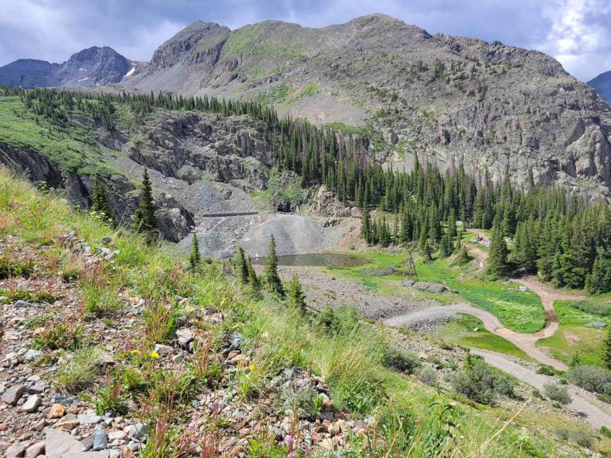
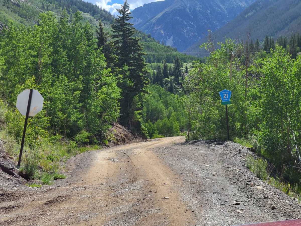
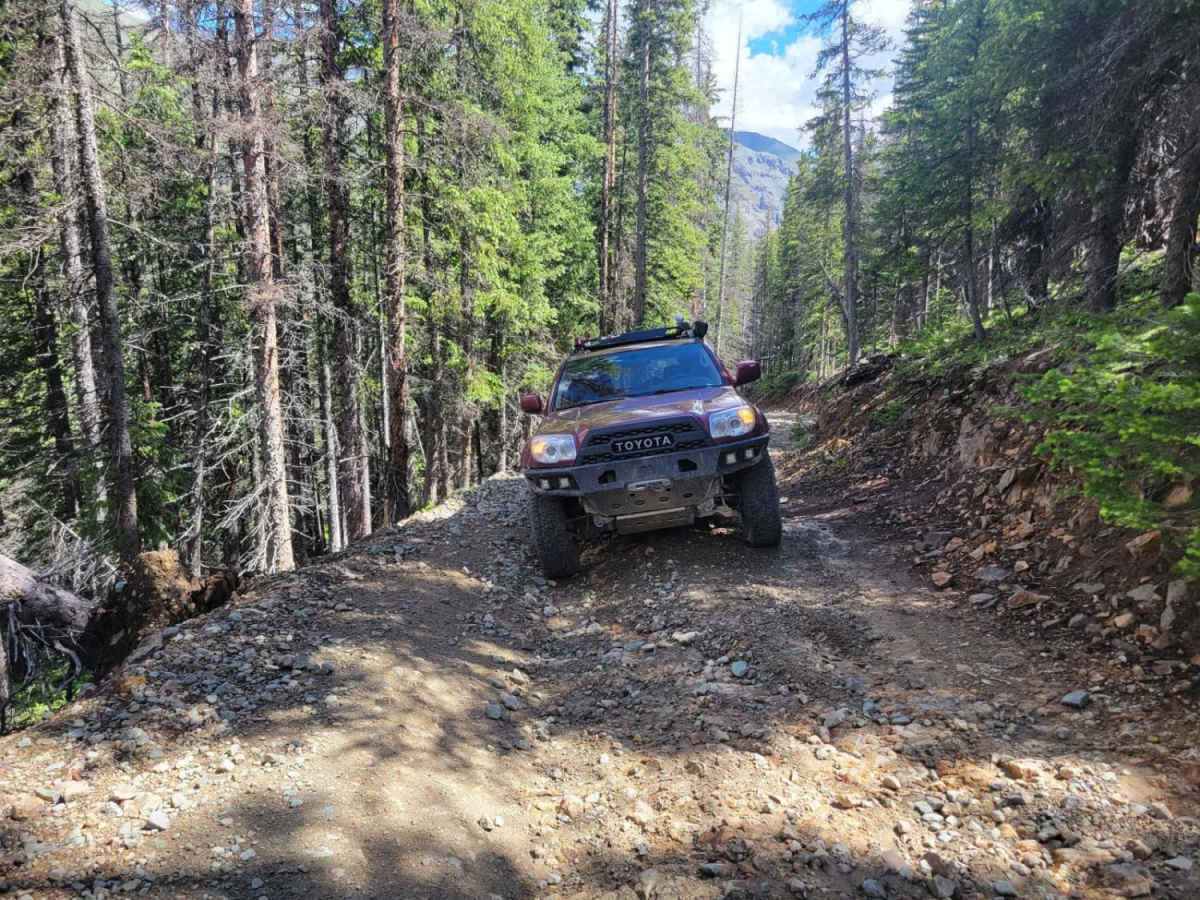
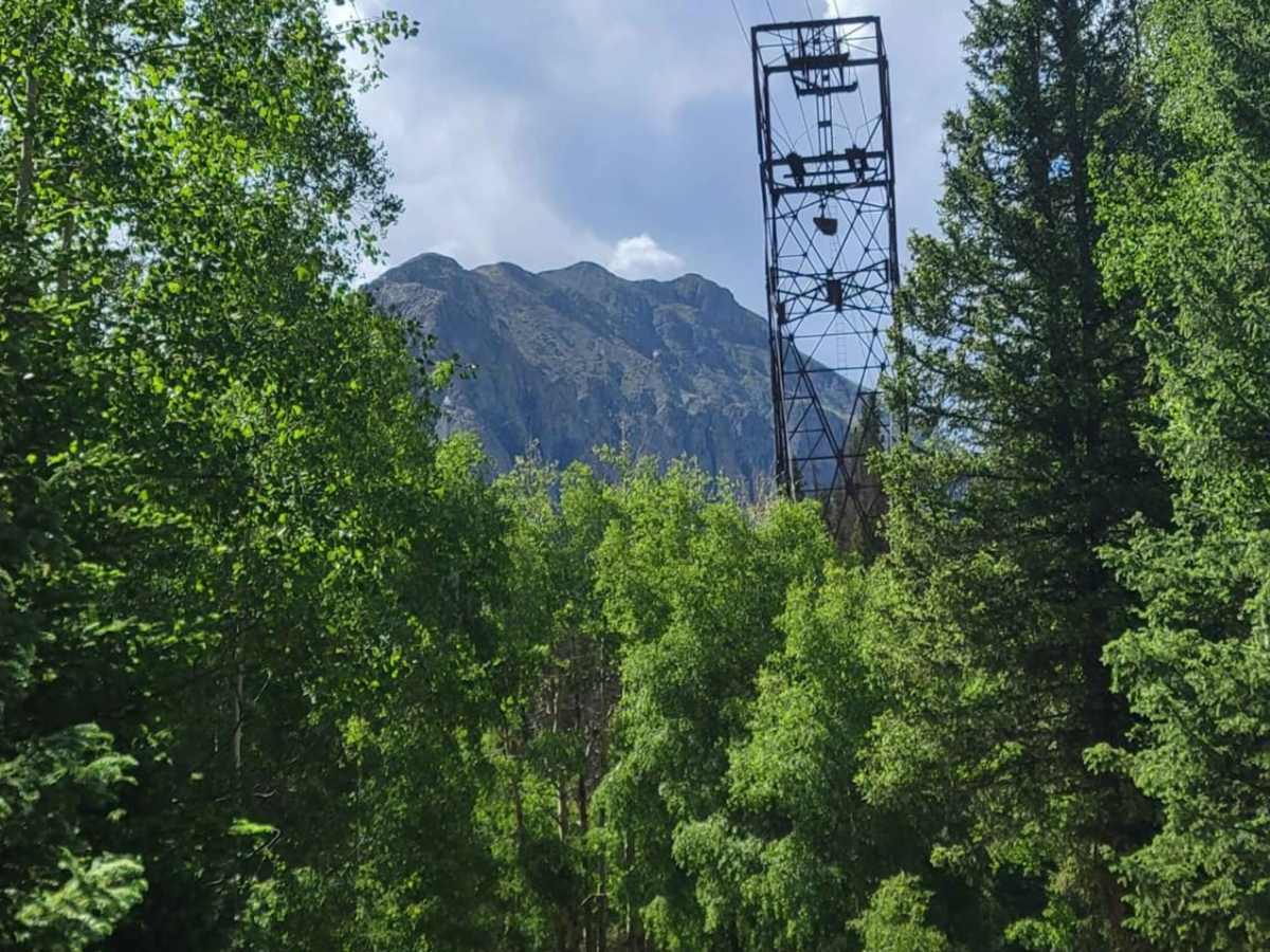
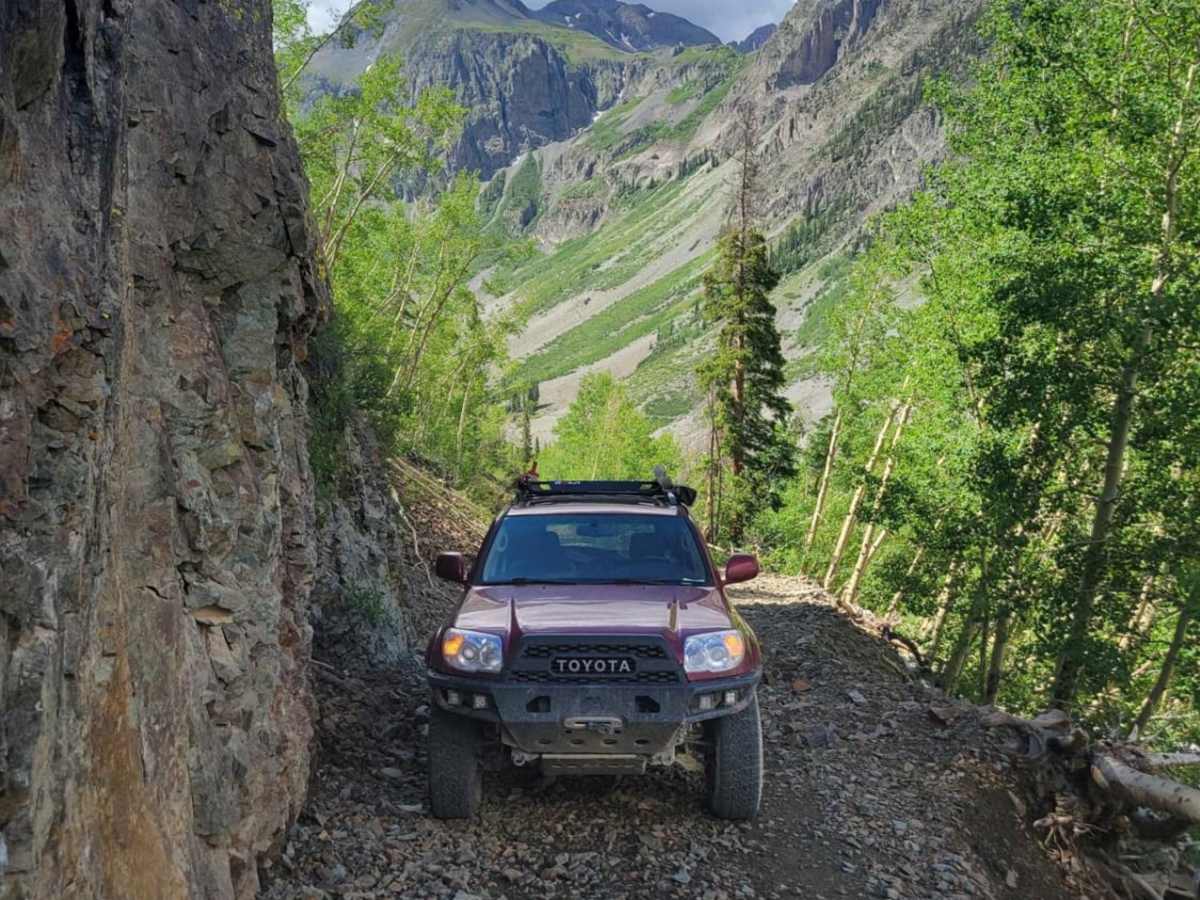
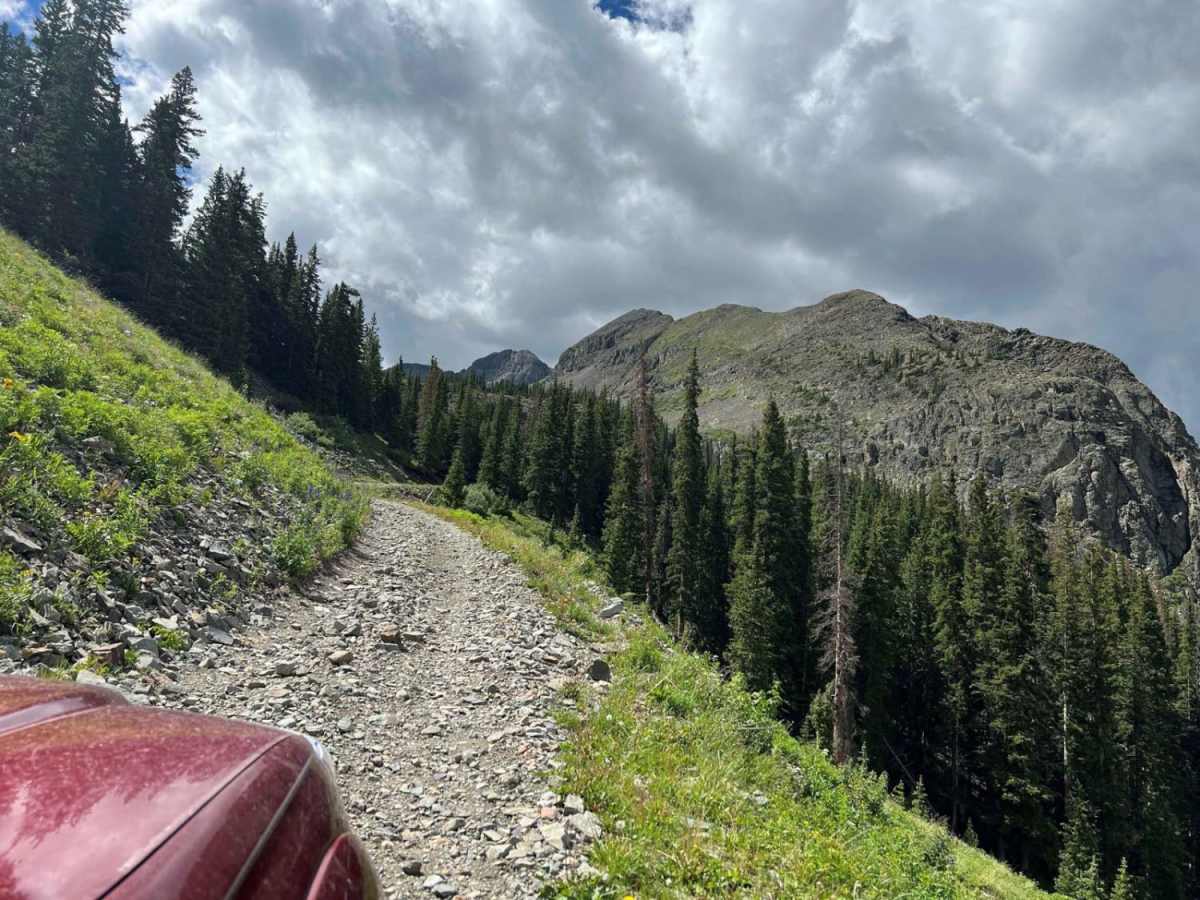
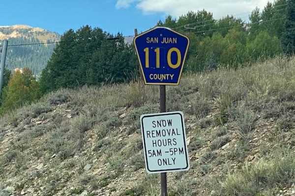
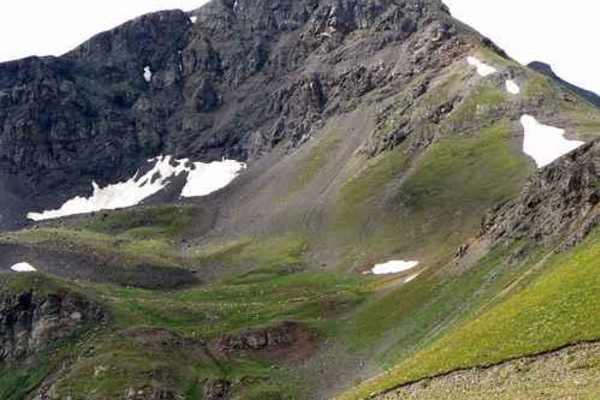
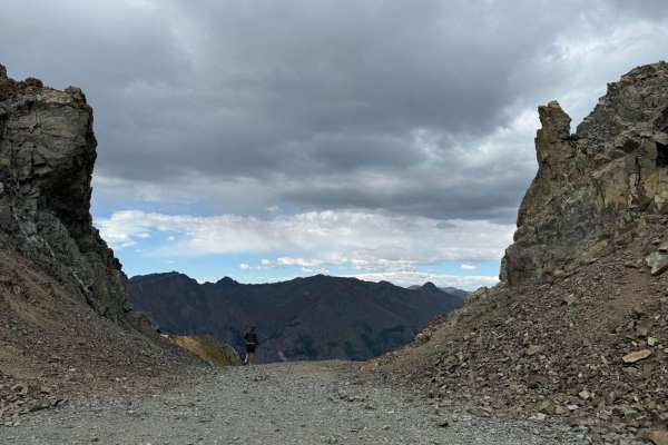
Arrastra Gulch to Little Giant Basin

Total Miles 3.8
Technical Rating
3 Easy
Best Time Spring, Summer
Trail Type Full-Width Road
Accessible By
Open Trail Map

Trail Overview

Just beyond the outskirts of Silverton, this road climbs up through a bunch of old mine sites to a mountain lake. Compared to the scenery of the Million Dollar Highway, this little nook is rougher, with more rocks and mountains than highland pastures. The old mining structures are impressive, with large metal towers rather than the typical decaying wooden houses.This road is easily doable in anything with 4x4. The low range might help with a couple of obstacles but probably isn't critical. There are some short sections of Shelf Road, where passing is not possible. Pay attention to oncoming traffic in these spots.The BLM map for the area shows the trail going beyond the lake at the end. It goes a short distance and then has a turnaround spot. The trail up to the top of the pass over the Little Giant Basin is primarily used by runners/bikers and is very steep.

Photos of Arrastra Gulch to Little Giant Basin

Difficulty

There are a couple of spots where there is a rock or two you have to go up and over. Something with AWD might have issues here depending on how the transfercase is configuring. Anything with 4x4 should be just fine. None of the rocky spots are near a cliff, so consequence is low once you are past the tight spots.

Technical Rating

3

Status Reports

Add Status Report
Sweet Sky
Nov 15, 2025
Open
Saw 1 hiker - no other vehicles. The 3 rating does feel misleading due to the steep terrain & 95% of the trail being loose rock. There was some ice after the first blind corner. Beautiful trail with incredible views the whole way! Slow & easy gets you there, well worth it xx
Ricardo E
Sep 21, 2025
Open
It was a great day for trail riding up. only ran across 2 other SUVs. this trail I would say is a 3.5. you definitely need a 4x4 and with some height clearance. we ran it up and down on 4 low and aired down to 25. it was a great reward at the top.
Grant M
Sep 19, 2025
Open
Rhett Robinson
Aug 17, 2025
Open
Steven Farr
Jul 29, 2025
Open
After the break off at the county road, the first switch back has a small wash out putting you against the rock wall.
Jeff M
Jun 22, 2025
Open
This trail was extremely rocky. The trail is 3.8 miles to the top, but for more than 3 miles the trailer is covered in sharp loose rocks. I have a 2024 4Runner and was not able to go more than 3 miles an hour most of the trail. I would recommend at least a small lift kit and bigger than 32 inch tires to do this trail. And the level three difficulty rating is misleading.
jeff brandt
Jun 20, 2025
Open
I don't have skid plates and believed it necessary to 6-7 times stop to move rocks. maybe it was a 3 last year but i just did both clear lake and kendall mt. road 33 and this was a bit worse than both IMHO😎😎 so it is a 4 + deeper in although starts easy
Robert Adeky
Apr 13, 2025
Open
Pretty nice trail. This time of year I recommend 33in tires and a locking differential to combat the snow
Jon Wieberg
Jul 15, 2024
Open
Tyler day
Jun 03, 2024
Open
Nishley Dickson
Aug 07, 2023
Open

Arrastra Gulch to Little Giant Basin Trail can be accessed by the following ride types:

  • Single Track
  • 50 Inch
  • 60 Inch
  • High Clearance
  • Full Width

Arrastra Gulch to Little Giant Basin Map

The onX Offroad Difference

onX Offroad combines trail photos, descriptions, difficulty ratings, width restrictions, seasonality, and more in a user-friendly interface. Available on all devices, with offline access and full compatibility with CarPlay and Android Auto. Discover what you're missing today!

Open Trail Map