Trail Overview
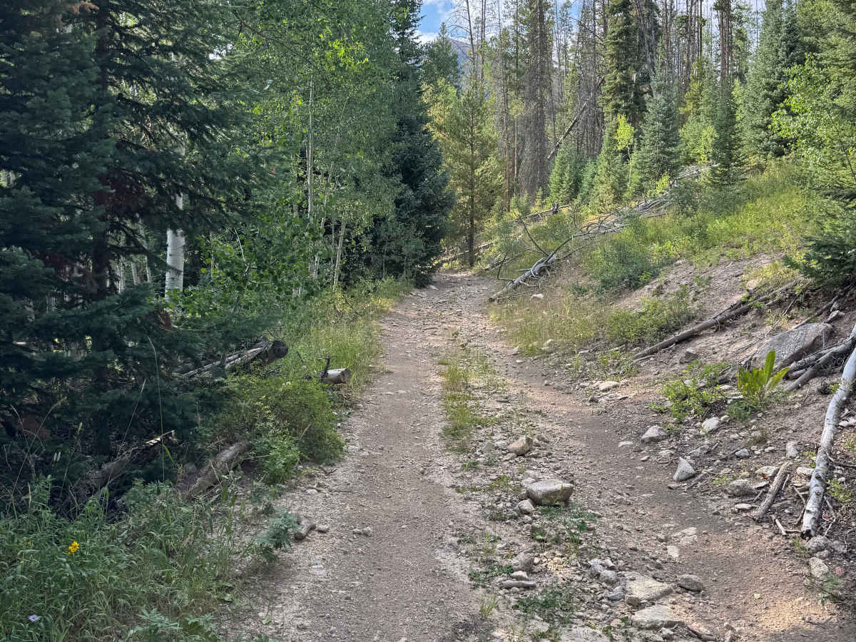
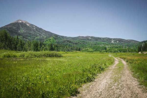
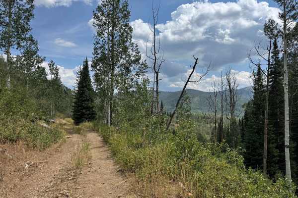
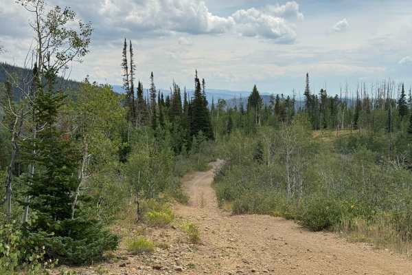
You might expect the meadow at the beginning of this trail to be the easiest section, but the deep mud pits encountered within the first few hundred yards quickly establish why this route deserves an intermediate rating. Depending on your vehicle, careful planning and precise tire placement may be necessary to navigate the two or three substantial mud holes, with higher ground clearance and larger tires providing a significant advantage. Once past these initial obstacles, the trail becomes smoother for a stretch, although additional mud pits appear farther along the route. There are also several sections where ruts on one side or the other may require you to briefly leave the main track to find a better line. The trail winds beautifully through dense pine and aspen forests before emerging onto an exposed shelf road with impressive views overlooking Steamboat Lake and the surrounding mountains. As you climb higher, the terrain becomes increasingly rocky and much steeper than you see in the images. A capable 4WD vehicle with good ground clearance and the ability to air down its tires should have little trouble reaching the upper section in dry conditions. At the top, you arrive at the historic Southern Cross Mine entrance, which shares its name with the road. A broad, relatively flat area provides an excellent place to stop and enjoy spectacular views of Steamboat Lake and the surrounding country. From here, other roads continue higher toward Hahns Peak, offering even more access to this beautiful and historic mountain landscape.
Difficulty
A 4WD vehicle with good ground clearance is recommended. Almost immediately after leaving the trailhead, you’ll encounter several deep mud holes that require careful planning and precise tire placement, particularly for larger or less maneuverable vehicles. Once past these initial obstacles, the trail becomes considerably smoother, although there are a few narrow sections where extra caution is warranted. The next significant challenge comes as you approach the upper portion of the route, where the grades become steeper, and the terrain transitions to loose, rocky sections near the mine. These climbs may require a slower, more deliberate approach, along with some patience and potentially airing down your tires for additional traction and control, even in dry conditions. Overall, the route is manageable for a properly equipped 4WD vehicle, but the combination of mud, narrow sections, steep grades, and loose rock makes preparation and careful driving important.
History
Southern Cross Road is part of the historic network of roads that served the Hahns Peak Mining District during the region’s early mining era. The road provided access into the remote mining country surrounding Southern Cross Mine, where prospectors searched for valuable deposits of silver and other minerals. The Southern Cross Mine lies in the Ways Gulch area near Hahns Peak and is situated at roughly 9,400 feet in elevation. Historical maps identify the workings as the Southern Cross Mine, although modern research by the Colorado Geological Survey indicates that documented commercial production was never established and any mining that did occur was probably limited. The underground working was driven into the mineralized rock surrounding Hahns Peak, and later surveys identified minerals including galena and silver-bearing “ruby silver” ore. By the twentieth century, the mine had been abandoned, and the workings eventually caved. Today, the area is part of the Routt National Forest, and the old road system—including Forest Roads 490, 417, and 411—still reflects the transportation network created to reach the mines and settlements of this once-active mining district. The Southern Cross Mine and the road leading to it offer a fascinating glimpse into the rugged prospecting and mining history that helped shape the Hahns Peak area.





 Offroad