Trail Overview
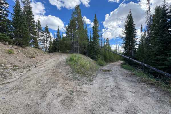
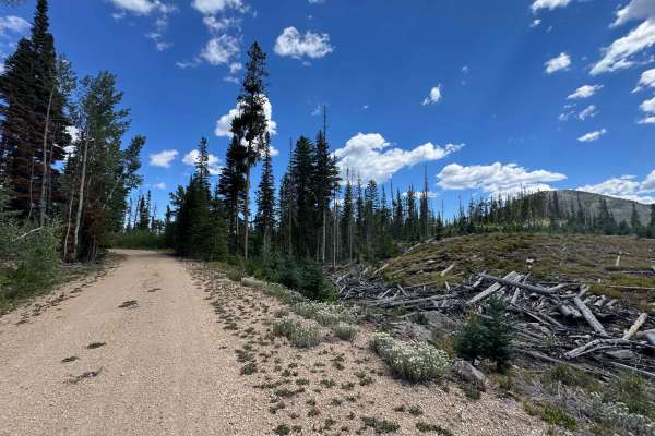
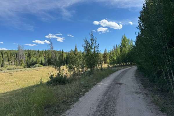
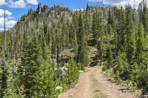
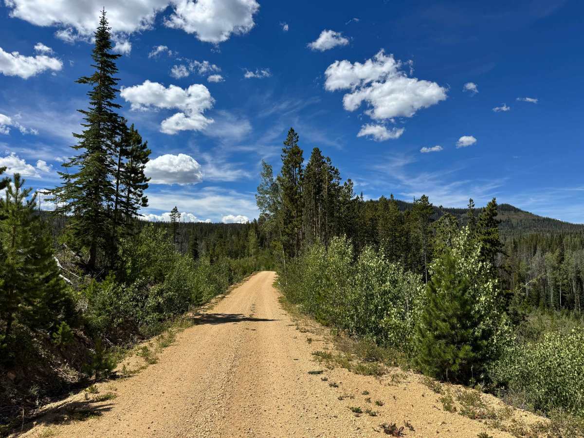
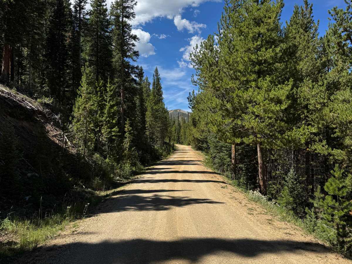
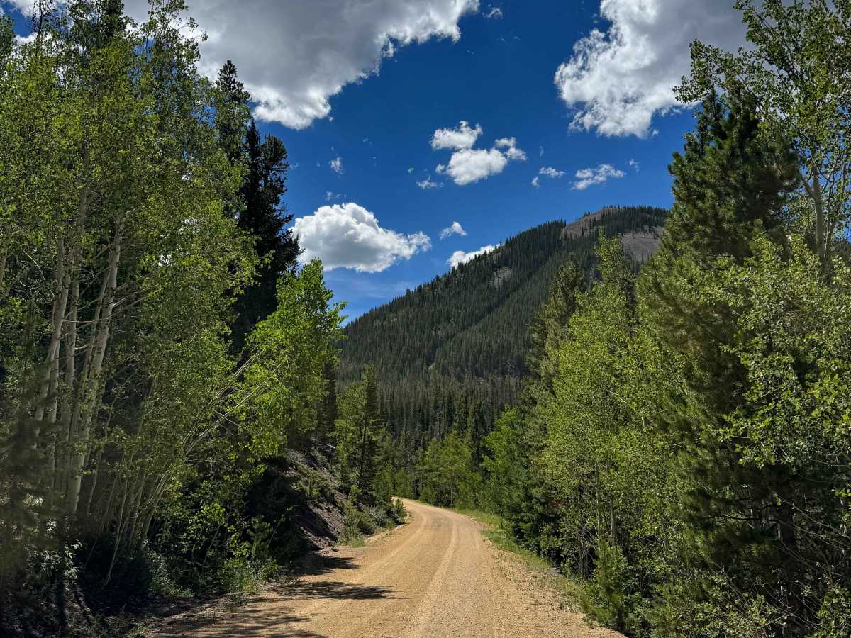
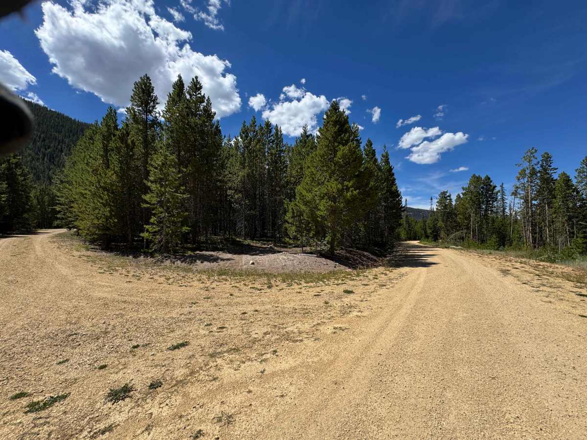
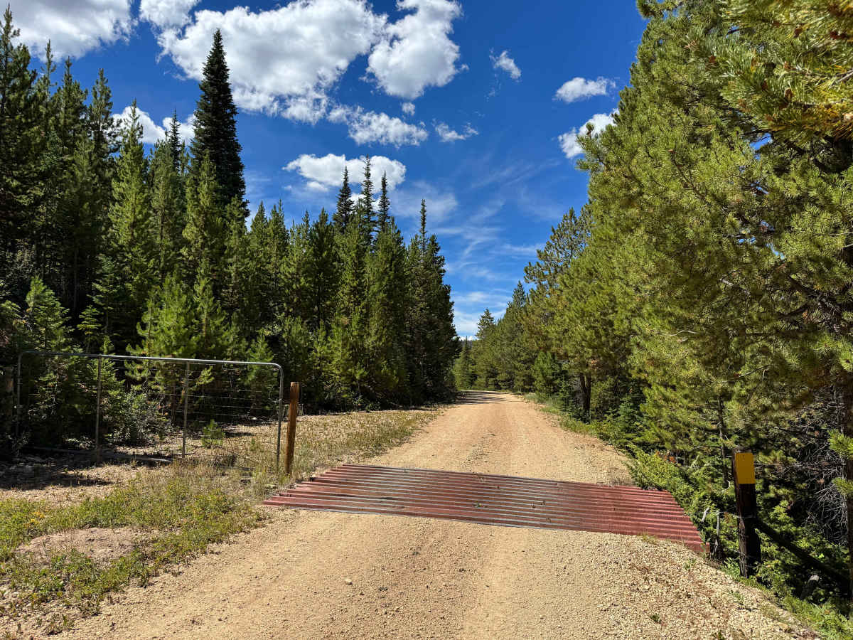
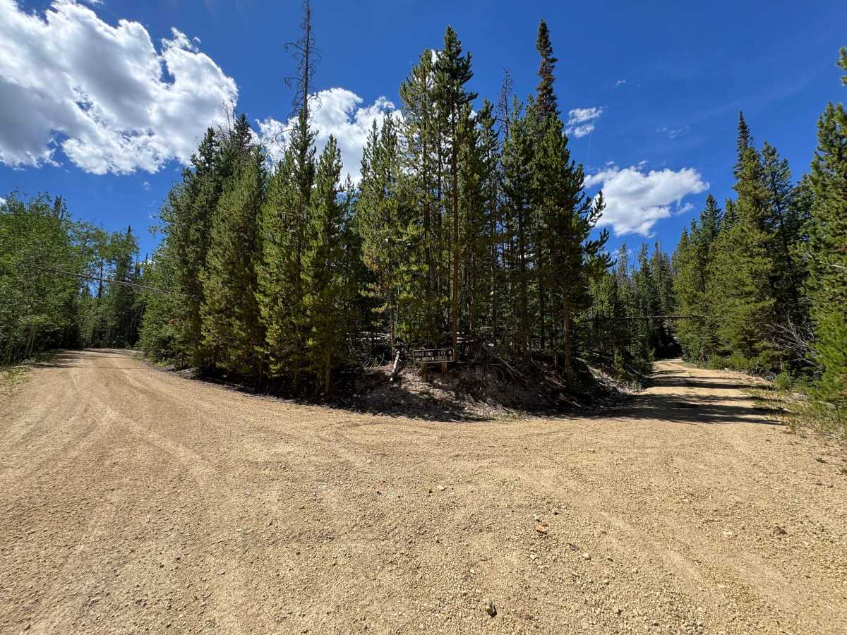
This incredibly scenic route is also one of the easiest ways to travel from south to north through this section of Routt National Forest, offering approximately 14 miles of spectacular mountain scenery and abundant opportunities for wildlife viewing. In dry conditions, the route is suitable for nearly any vehicle with moderate ground clearance, allowing you to reach Highway 14 from either direction. Along the way, the road winds through a remarkable variety of landscapes, with towering pine and aspen forests, open meadows, mountain valleys, and sweeping views of the surrounding high peaks, including the distinctive Chimney Rock and Haystack Mountain areas. Wildlife is abundant throughout this remote country, and with some luck, you may spot moose, elk, deer, black bears, and numerous other species. The route also offers more than a dozen excellent dispersed camping opportunities, with several flat, scenic sites located near lakes and streams, making it easy to turn this beautiful drive into an overnight adventure.
Difficulty
This is an easy route suitable for most vehicles with moderate ground clearance in dry conditions. The road is generally straightforward and presents few challenges, making it a great option for a relaxed scenic drive through the surrounding forest and mountain country.
History
The Chimney Rock Mountain area has a long history tied to the Native American peoples who traveled and hunted throughout these mountains and valleys long before modern settlement. In the late 1800s, the surrounding region saw increasing activity from trappers, miners, ranchers, and settlers as Colorado’s mountain country was opened to development. The Arapaho National Forest was established by President Theodore Roosevelt on July 1, 1908, helping protect the forests, watersheds, and mountain lands from further uncontrolled development. Today, the Chimney Rock area remains a remote and scenic part of the forest, where old routes, dispersed campsites, and surrounding mountain landscapes offer a glimpse into Colorado’s rugged frontier past.