Scenic Cumberland Pass

Total Miles15.8
Technical Rating
6Moderate
Best TimeSummer, Fall
Trail TypeHigh-Clearance 4x4 Trail
Accessible By
Open Trail Map

Trail Overview

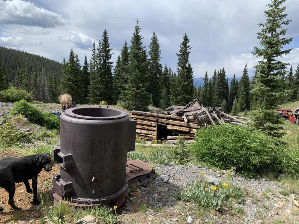
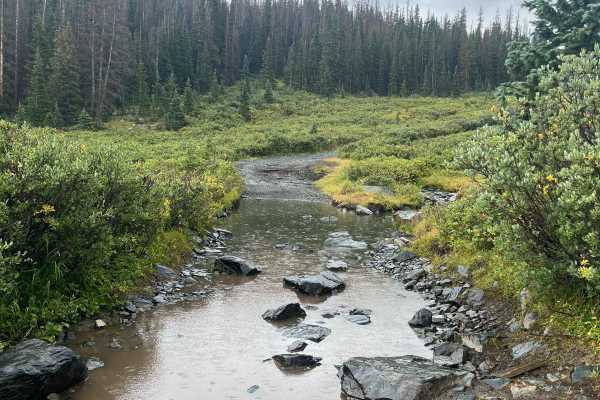
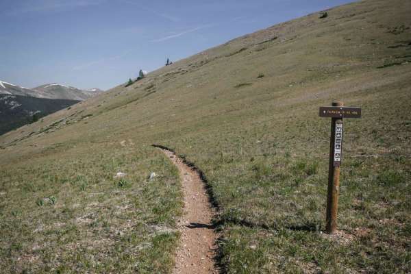
Scenic Cumberland Pass is a scenic 15.8-mile route climbing from 9,744 feet to a peak of 12,027 feet near Napoleon Mountain. The trail follows narrow, steep, and rocky historic mining roads parallel to the main pass, offering panoramic high-alpine views, pine forests, and remnants of Colorado’s mining history. Rated a moderate 6, the trail features steep gradients, loose rock, and tight clearances. High-clearance vehicles are recommended, and four-wheel drive is helpful for steep sections or lingering snowpack, which can block the pass through July.

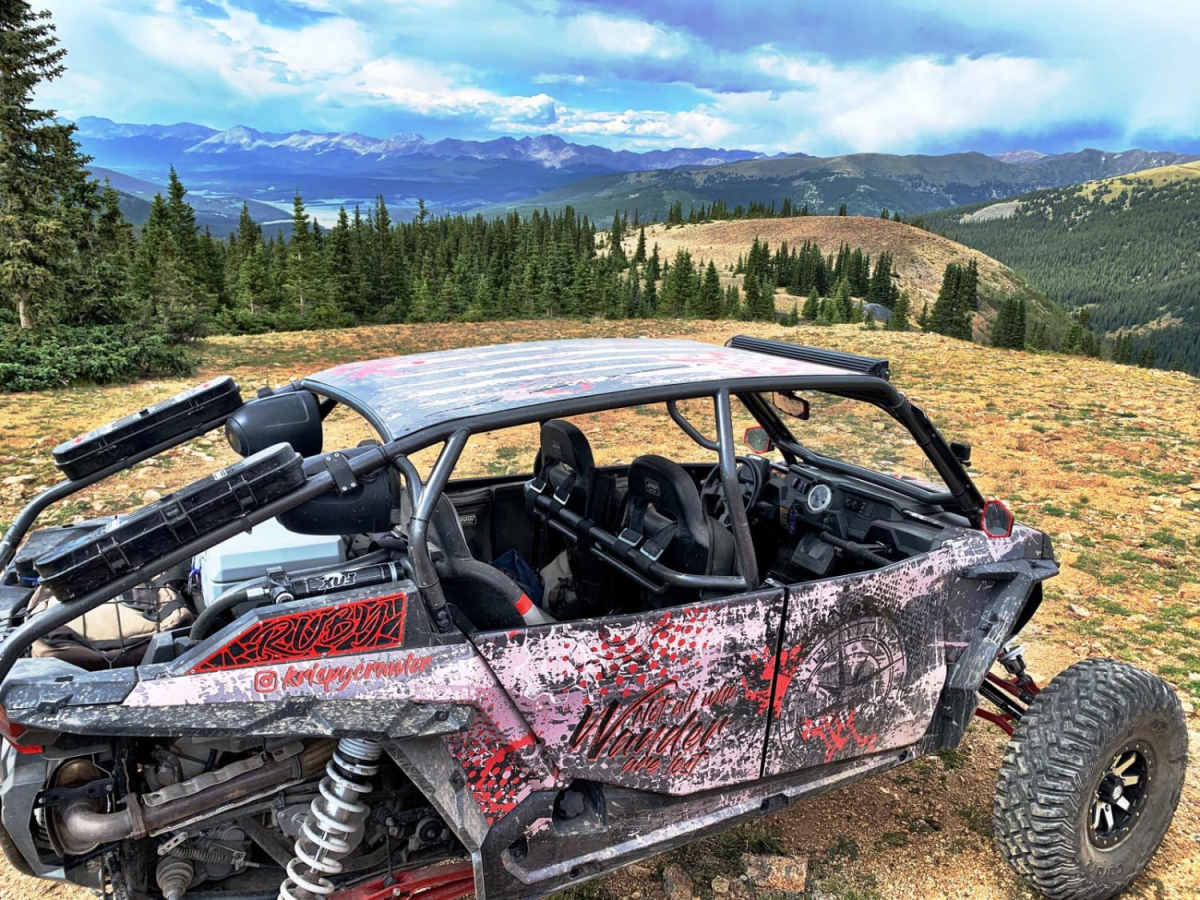
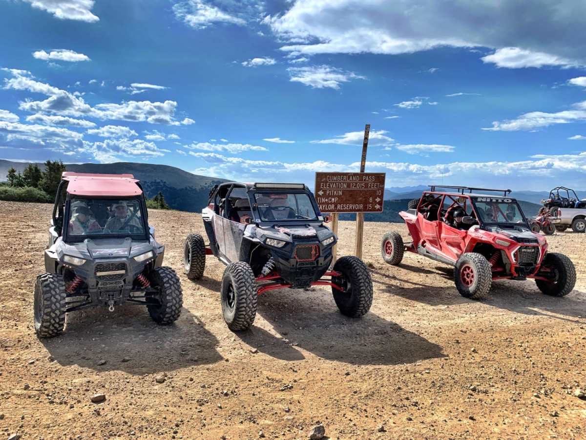
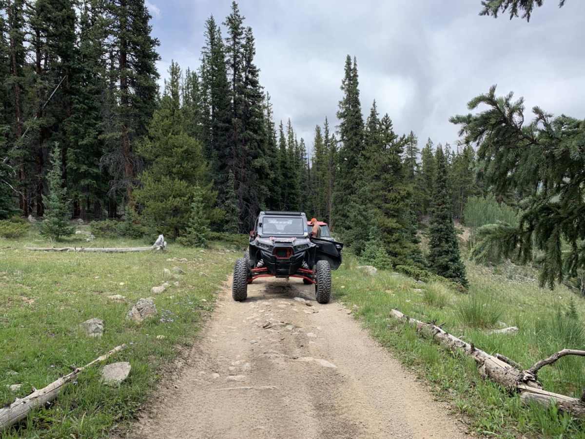
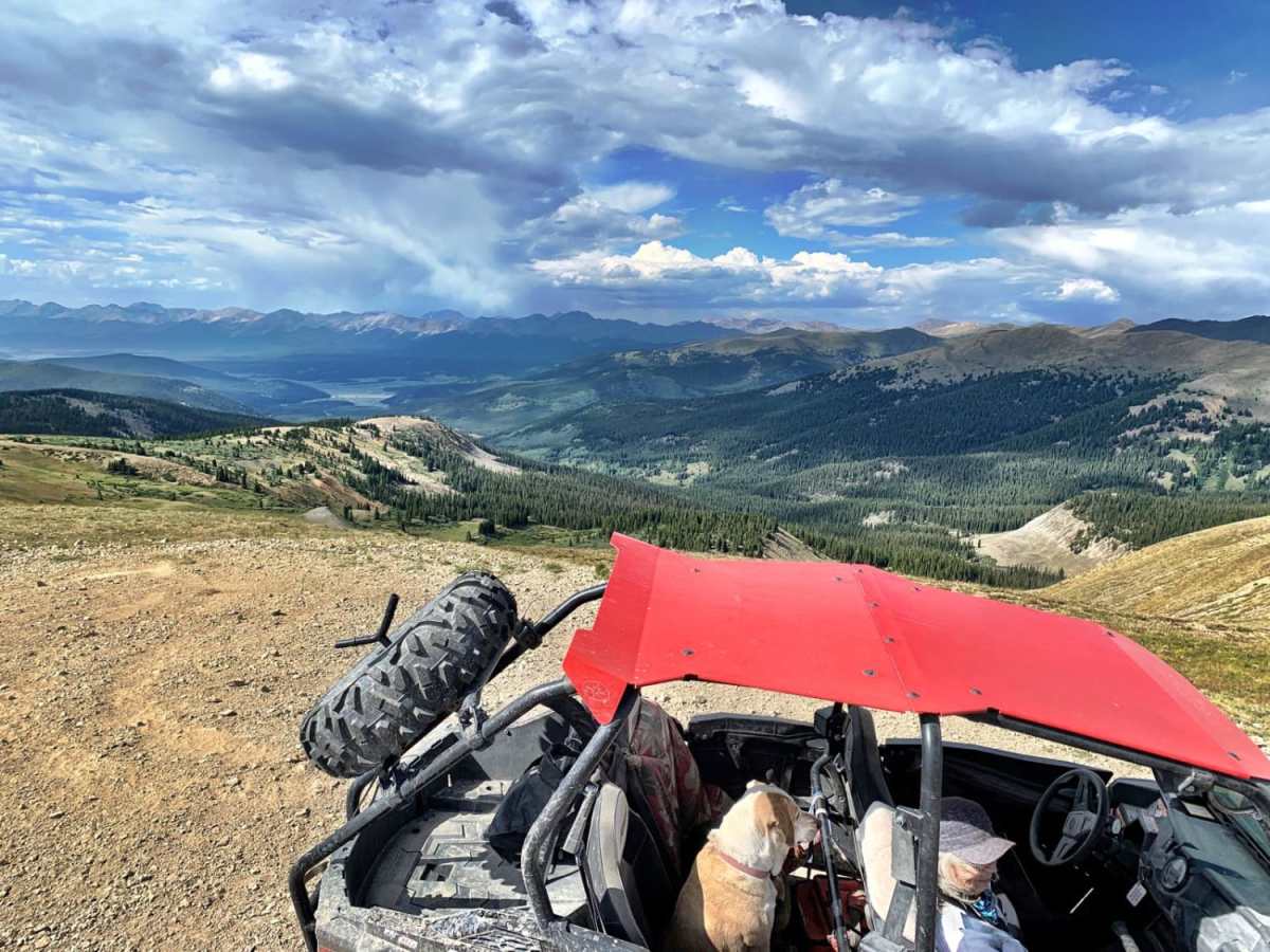
Photos of Scenic Cumberland Pass

Difficulty

4WD is not usually needed, but these are narrow, steep, rocky mining roads. Some may be covered in snow through July.

History

Cumberland Pass had a pack trail originally, where burros hauled supplies in, and ore out, of the Tincup mining district. In 1882, the trail was widened to a wagon road over the 12,000-foot pass. This allowed direct access from the Tincup area to the Denver, South Park, and Pacific railroad that came over the Alpine Tunnel to Pitkin. There were mines on both sides of the pass, which used Cumberland Pass, to transport ore and bring in supplies. Past the first switchback on the Pitkin side was the Bon Ton Mine. The first automobile crossed Cumberland Pass in 1905, but it had to be pulled by a team of horses part way. In 1935, the Civilian Conservation Corps improved the road. In the 1950s it was upgraded again.

Technical Rating

6

Status Reports

Add Status Report
John Mapp
Jul 06, 2025
2017 Toyota Tacoma
Open
DustyRough/Deteriorated
Started this trail in Tincup. This is a super easy trail, rating it as a 2. My best friend did this on his SurRon electric dirt bike with no issues as I followed him up the mountain. There were a few other people on the trail, but not super busy. Wide trail most of the way, with one area towards the top with steep drop offs
Kevin Arsenault
Sep 25, 2024
2021 Toyota 4Runner
Open
DustyRough/DeterioratedWashboard
Jonathan Gruchawka
Sep 09, 2024
2023 Toyota Tacoma
Open
Rough/DeterioratedWashboard
Don’t know why this is rated a 6 on the map, but to be clear I did NOT drive this trail north of Tincup. Coming up through Pitkin, I watched Subarus and a CRV tackle this road no problem. Pretty frequent low clearance rocky sections and some potholes will slow you down. This is pretty brisk driving if you’re in a decent stock 4x4. Plenty of people in OHV’s and trucks, but the road is usually wide enough to pass no problem. Would have rated it 2 but it would probably very unpleasant in a Honda civic.
Christine Hammack
Aug 26, 2024
2001 Isuzu VehiCROSS
Open
This pass is just a bumpy dirt road, it could be driven in a car with good tires.
Brad Williams
Jul 31, 2024
Open
DustyRough/Deteriorated
Josh Andrews
Jul 30, 2024
Open
Josh Andrews
Jul 30, 2024
Open
Josh Andrews
Jul 30, 2024
Open
Josh Andrews
Jul 30, 2024
Open
Josh Andrews
Jul 30, 2024
Open
Josh Andrews
Jul 30, 2024
Open
Josh Andrews
Jul 30, 2024
Open
Josh Andrews
Jul 30, 2024
Open
Josh Andrews
Jul 30, 2024
Open
Bryan Tongue
Jun 25, 2024
Open

Scenic Cumberland Pass Trail can be accessed by the following ride types:

  • Single Track
  • 50 Inch
  • 60 Inch
  • High Clearance

Access Description

Please stay on the designated mining roads and respect private property lines along the route. High-altitude snowpack can block the pass through July, so check current local conditions before heading out.

Scenic Cumberland Pass Map

The onX Offroad Difference

onX Offroad combines trail photos, descriptions, difficulty ratings, width restrictions, seasonality, and more in a user-friendly interface. Available on all devices, with offline access and full compatibility with CarPlay and Android Auto. Discover what you're missing today!

Open Trail Map