Trail Overview
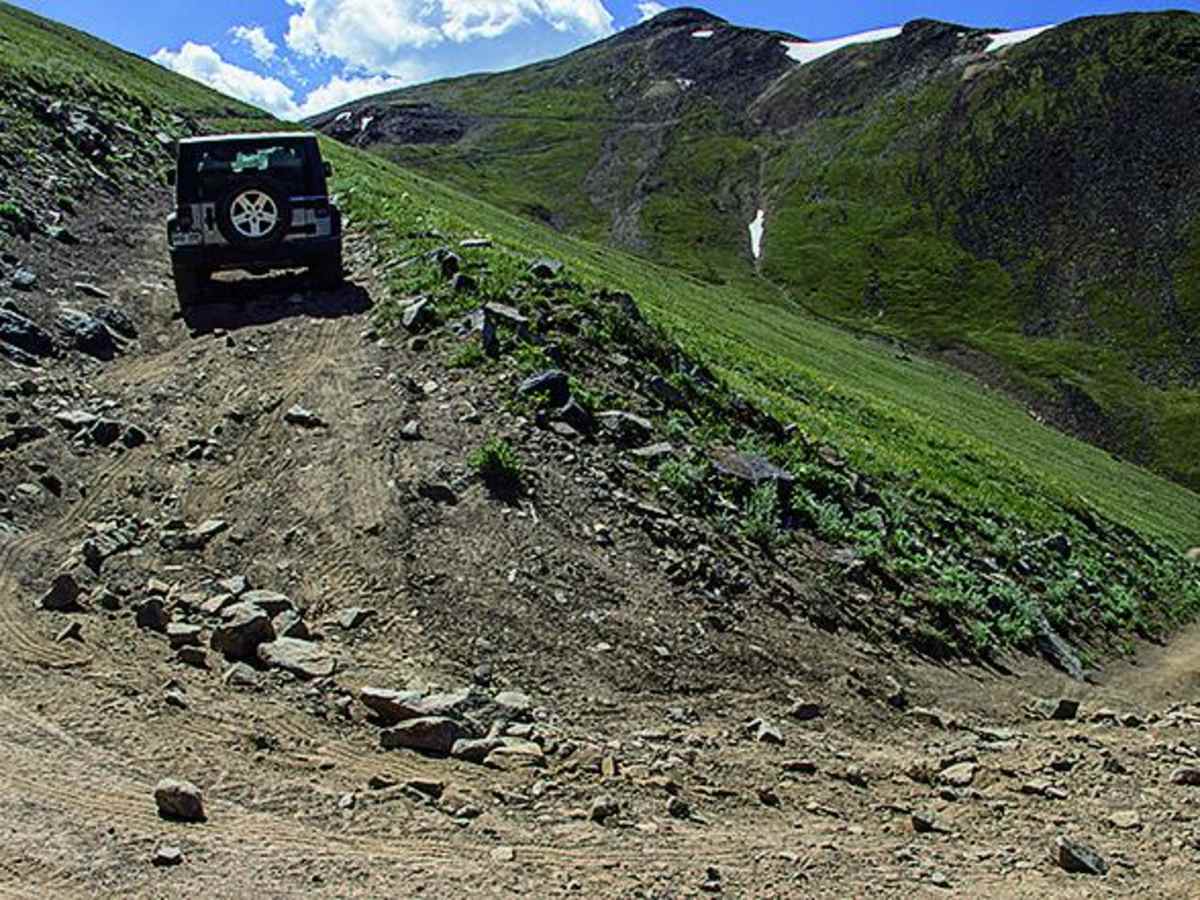
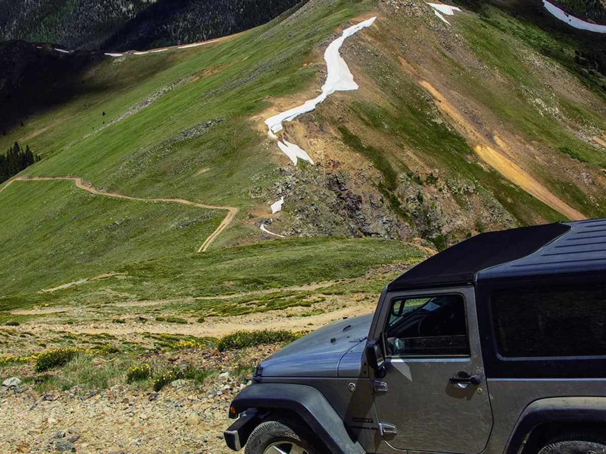
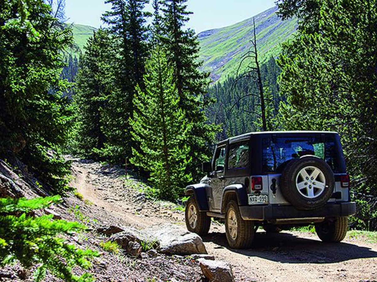
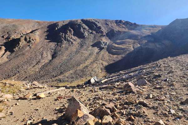
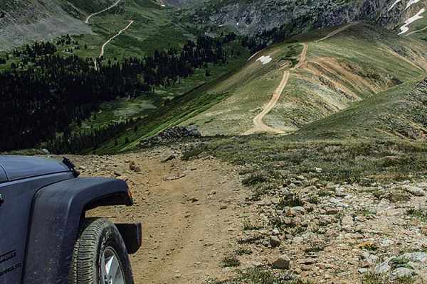
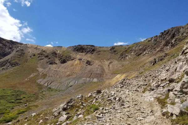
Santa Fe Peak is a challenging and highly scenic high-alpine trail near Montezuma, Colorado, offering seasoned offroaders breathtaking 360-degree views from an elevation of over 13,000 feet. This 4.6-mile route climbs aggressively from the town of Montezuma, gaining approximately 2,830 feet of elevation as it negotiates steep, rocky terrain. Because the route consists of narrow shelf roads with dramatic drop-offs, it is best suited for experienced drivers in high-clearance, four-wheel-drive vehicles. Stock SUVs with low clearance or novice drivers should avoid this trail due to its demanding, off-camber sections and tight switchbacks.
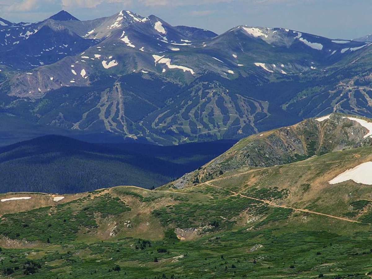
At the summit, travelers are rewarded with sweeping panoramic views of Breckenridge, Grays Peak, Peru Creek, Webster Pass, and Radical Hill. The trail is typically open from late May through late November, though high-altitude snow can linger well into July, making late summer the ideal time to visit. Unlicensed vehicles are strictly prohibited, meaning all rigs must be street-legal to access the trail from the town streets. To reach the trailhead, take Montezuma Road south from Highway 6 near Keystone, following the dirt road into Montezuma before turning uphill on 3rd Street while keeping speeds low to respect local residents.
Difficulty
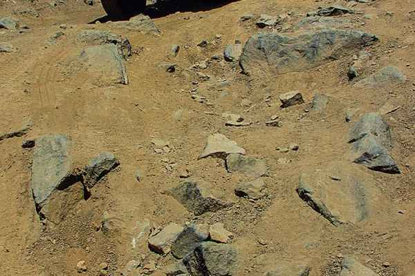
Moderate: This trail is very steep, narrow and quite rocky in spots. We don't rate it difficult, but it comes very close. Not recommended for novice drivers or anyone afraid of high narrow shelf roads.