Edward Oliver
Oct 03, 2026
Open
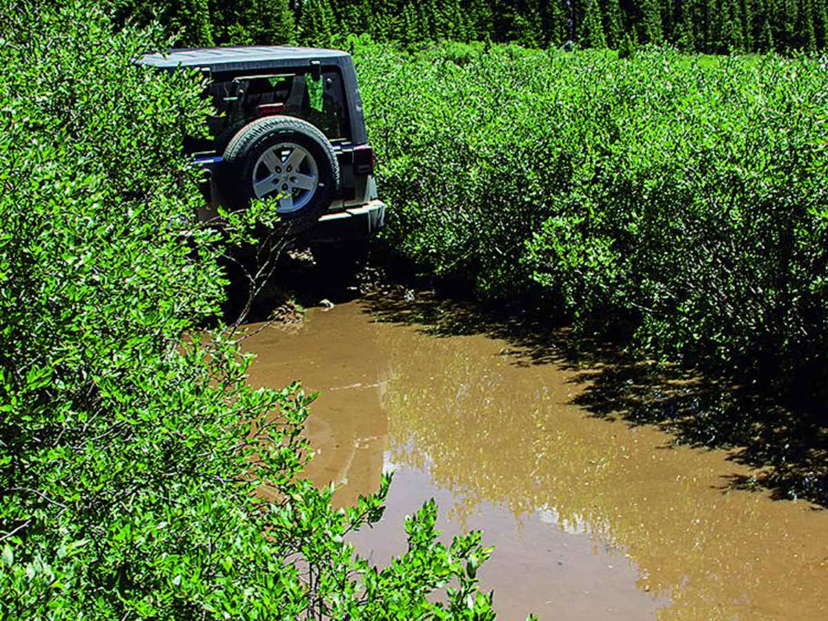
Was able to complete this trail in a stock 3rd gen runner with worn AT tires. I did feel a few sections required careful tire placement, and I did use my rear locker a couple times(although I blame that on my lack of grip with the worn at tires). Also worth mentioning the main pond crossing felt deep. Almost past my front bumper. Overall a fun trail doable with a stock 4x4 with some driving skills and 4 or so notable features that kept things exciting. Saw a 5th gen modified runner and a modified 3rd gen Tacoma at the top. Great hiking trail to a lake once you get there.
Rich Zane
Sep 19, 2026
2021 Jeep rubicon
Open
Normal
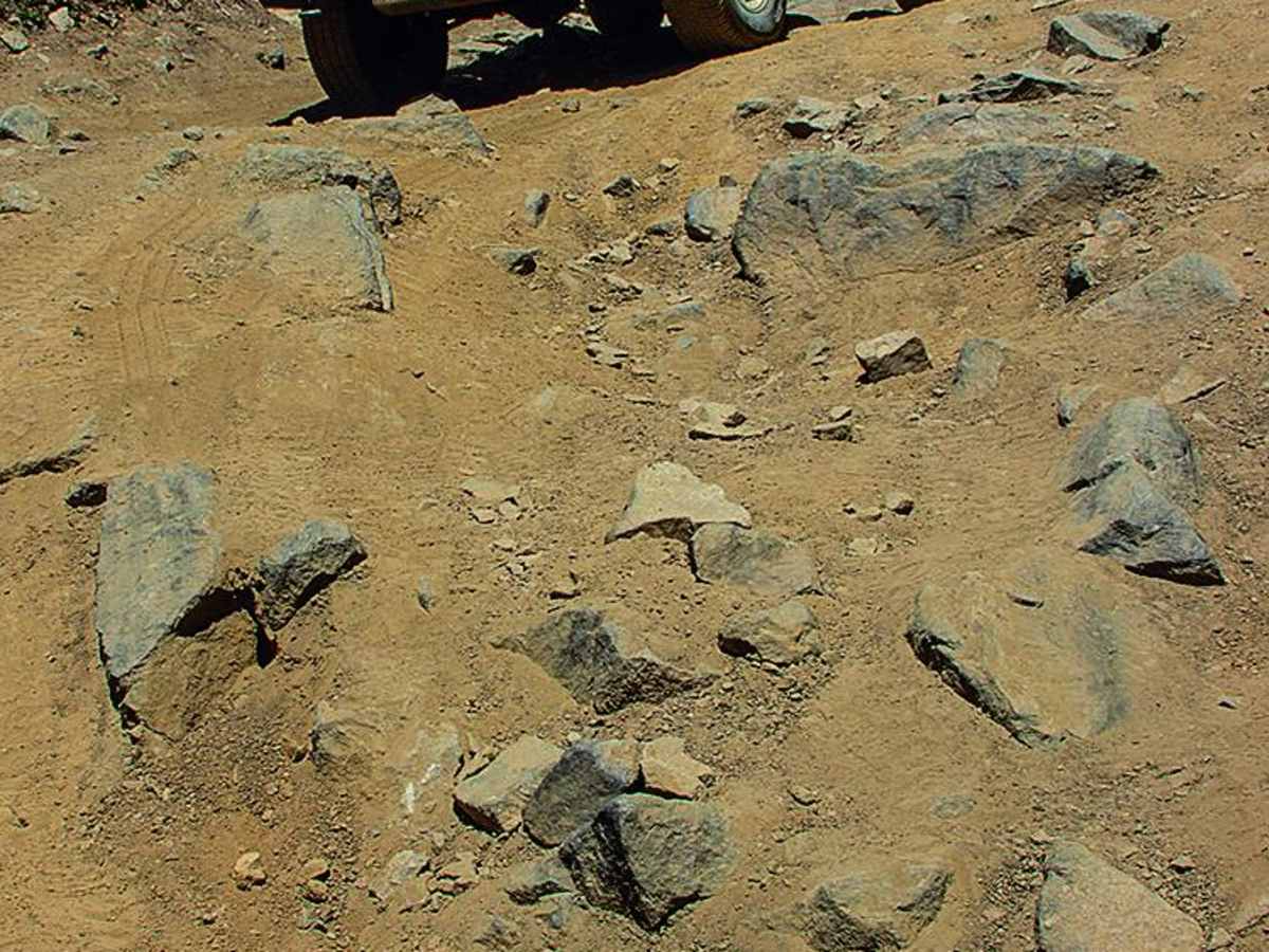
Great trail for a relative beginner or intermediate. Great views. For stock vehicles, may need a spotter to get through the rock fields. Water crossings are great. Wooden bridge is significantly deteriorating. Lockers not needed. I definitely disconnected the sway bar and aired down for comfort.
Christian Athanas
Sep 16, 2026
Open
NormalMuddy/Wet
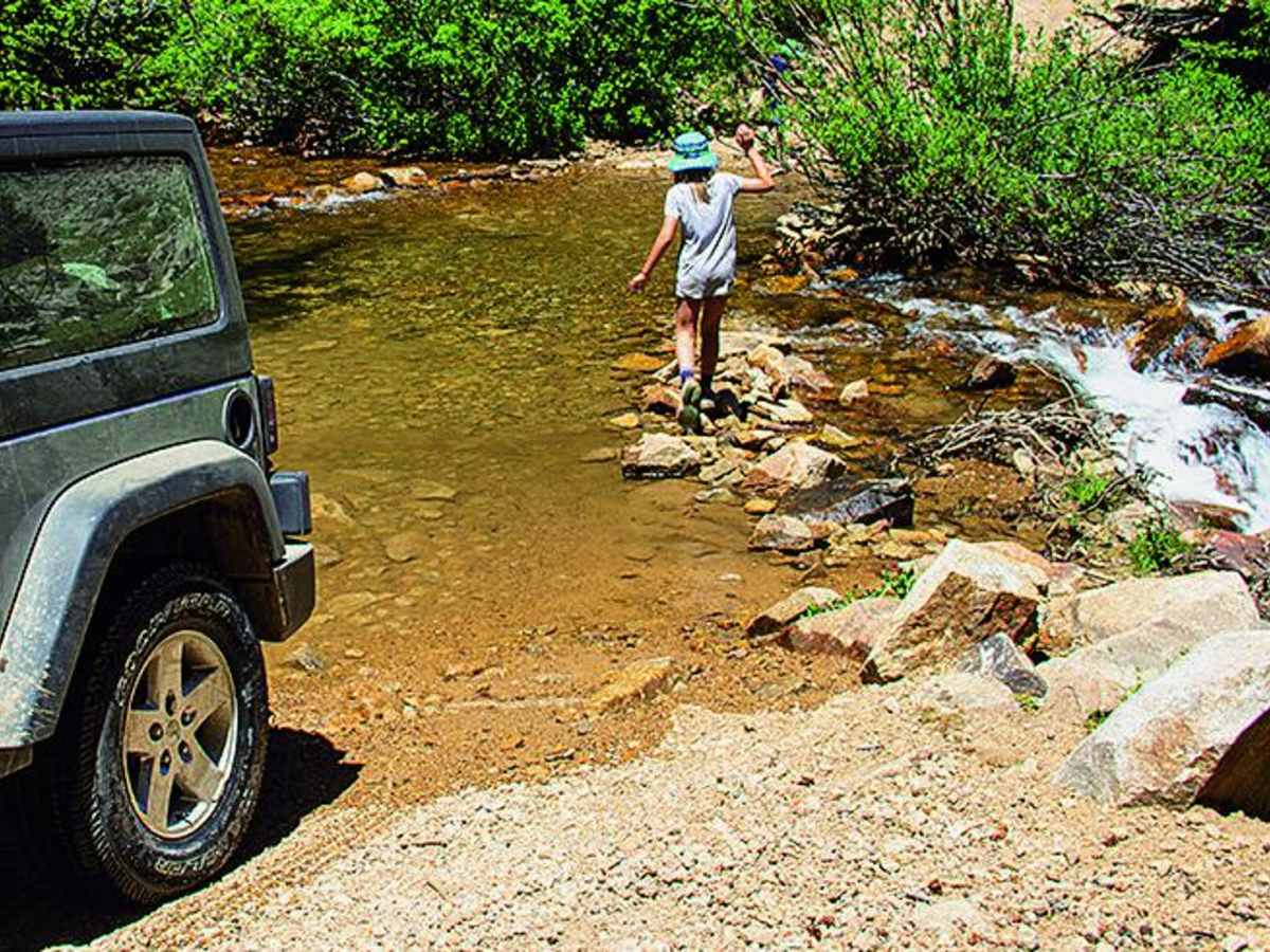
4/10 is a perfect difficulty rating, maybe two spots where picking a good line is important, and then one larger water crossing. it was hard to tell how deep the water was at this water crossing, but ended up being just about to the top of my tires (33’s). no issues. hike up to the lake is definitely worth it, one of the best lake hikes in Colorado in my opinion.
Daniel Rojas
Aug 31, 2026
Open
NormalMuddy/Wet
Overall a good short trail for anyone that has some decent clearance. Did this trail last year around the same time with my stock 2023 Colorado Trail Boss and was able to complete it with little struggle. Did it again today with the same Trail Boss on 35s and went through with no problem at all! Still a very enjoyable trail that you can do in just a couple hours taking your time. A little less water than last year but deeper holes in the big water crossing.
Rich Zane
Aug 17, 2026
2021 Jeep rubicon
Open
very few people, one other vehicle. Narrow at times and some well earned trail rash. Rocks are not inconsequential and at times, needed a spotter. Water was unremarkable. 100% needed high clearance and airing down.
Anna Davis
Aug 07, 2026
2026 Kawasaki KLX 300
Open
NormalDusty
After the trail maintenance its not too bad on a motorcycle. Its still fairly rocky, so some experience in navigating that is a must. There are still some deep water crossings. The big beaver pond can be mostly bypassed, and there is a bypass for another super deep pond (in my pictures). If you search for "KLX 300 Offroad - Chihuahua Gulch" on Youtube, you can find a complete ride of the trail I did going back down. Its a bit dusty if you are following someone.
We saw one person on a jeep, otherwise it was mostly a few hikers with dogs.
Kayla Dawn
Jul 27, 2026
2004 Dodge Ram 2500
Open
Normal
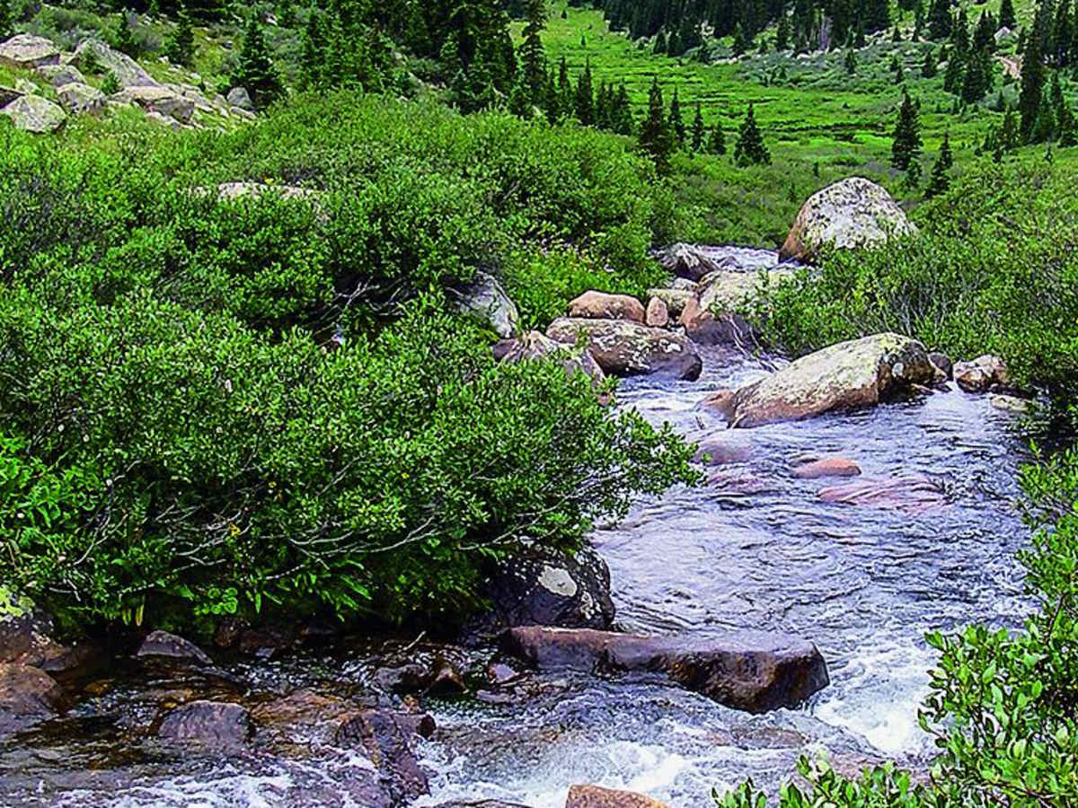
Great trail, moderate difficulty, water crossing, stunning views and tons of active beaver dams!
we need names?
Jul 25, 2026
2021 Jeep Wrangler
Open
Normal
First off, according to the forest service website, the trail is closed during the week & open on weekends thru August 1st, 2026. When we arrived on Friday night to go camping (not armed with this info) there was a temporary barricade (with a sign stating it would be closed thru 7/25) at the start of the trail, which was still in place on Sunday.
The “maintenance” has totally nerfed this trail. Towards the beginning, any spots that required good tire placement have been filled in. They also removed the big rocks in the water crossing, making it too easy. The bottom is still a bit rocky, but nothing close to what it was 3 weeks ago in early July & definitely nothing compared to last October with higher water.
Congratulations Forest service, on making the trail with no real parking at the top seemingly accessible to the average Outback. That is possibly an exaggeration, but the changes definitely made the trail worse.
I apologize for no photos.
Brandon H
Jul 16, 2026
Temporarily Closed
Four Point 0
Jun 24, 2026
Open
Normal
Did this in a stock 2000 jeep xj on 29s with *minimal* issues. Needed a spotter several times and the pond at the top has hidden rocks, one of which took out the rear bumper end cap. This is slightly beyond the limit of what most stock 4x4s can do easily but worth a shot if you want to take the risk or are an experienced driver. It was well worth it, gorgeous views!
Boyd Niesen
Oct 18, 2025
Open
Normal
Kevin Stanley
Aug 10, 2025
Open
Muddy/WetRough/Deteriorated
This was probably the max rating for my Tundra with 33s. End of mudspot heading up was very technical needing good spotting and placement. Lots of hidden rocks under the water to shake you. For shorter wheelbase vehicles this is a lot easier but would still take some care and a little demanding. Rest of the trail for us did require a bit of spotting, and had skid plate and rock slider scars. Fishing is awesome at the lake! There are lots of cutthroat and we even caught a green back cutty!
Noah Feehan
Aug 02, 2025
2022 Toyota Tacoma
Open
Muddy/WetRough/DeterioratedWashboard
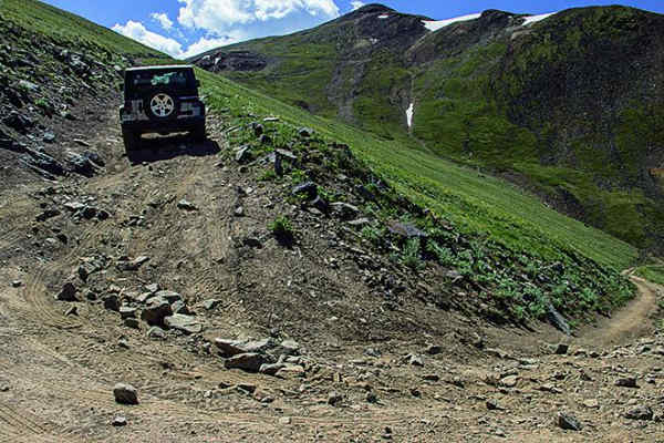
Did this with my buddy in his 4Runner TRD OR w/ a 2in lift. Previous reports are accurate - pretty rough with some large rocks to get over and a large pit of muddy water. We bashed a skid plate in the mud pit due to a hidden rock, but this section is passable through 1ft of water while staying to the left (coming up the trail, right coming down). Off-camber/rutted section immediately following this is intimidating and requires careful tire placement. After this area there is one additional section towards the end of the trail where the water is at least 1.5ft deep through a long, narrow rut. Shifted into 4L quite a bit for some extra power over big rocks/muddy sections. If you’re going to do this one come equipped and be prepared!
Carson d
Jul 31, 2025
Open
Muddy/WetRough/Deteriorated
Was pretty rough, similar to other 5 rated trails I've done. Once we got to the halfway mark right after the first creek crossing there was a large muddy water hole that was very deep with large rocks that I couldn't see, was not able to make it through. The part directly after is extremely off camber and has very large ruts and boulders. The way down was pretty sketchy and had a lot of off camber points that were worse on the way down.
greg m
Jun 25, 2025
Open
DustyRough/Deteriorated
Made it about half way up when I got to a deep (at least 18”) flooded and muddy part of the trail(included in picture). Some could definitely make it through so not considering it obstructed but I didn’t bring sufficient recovery gear so turned back. Will probably be more easily passible later in the summer. Deep ruts and medium rocks on steep terrain that were passible in 3” lifted 4runner without lockers on 33s. Will likely try again in July/August.