Trail Overview
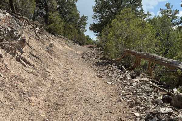
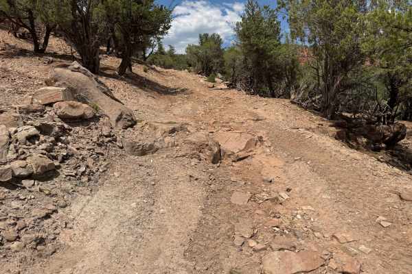
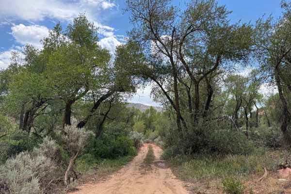
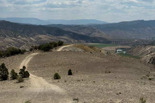
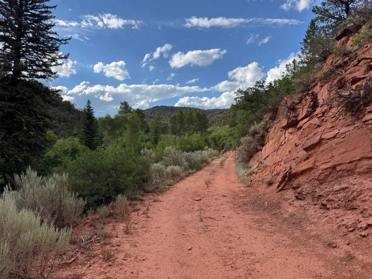
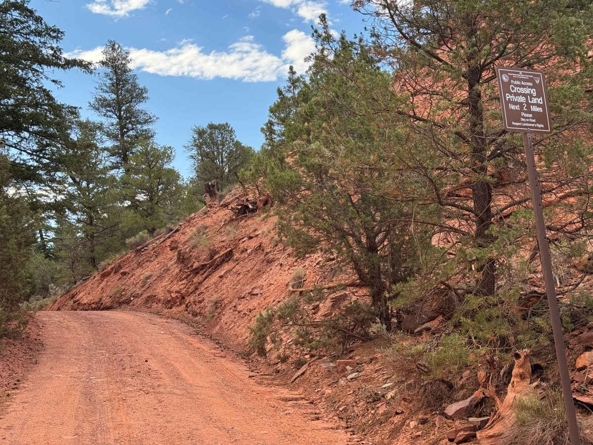
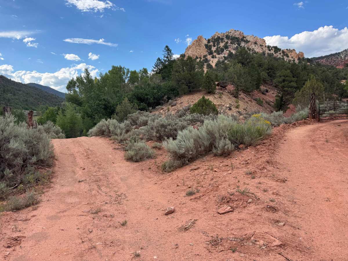
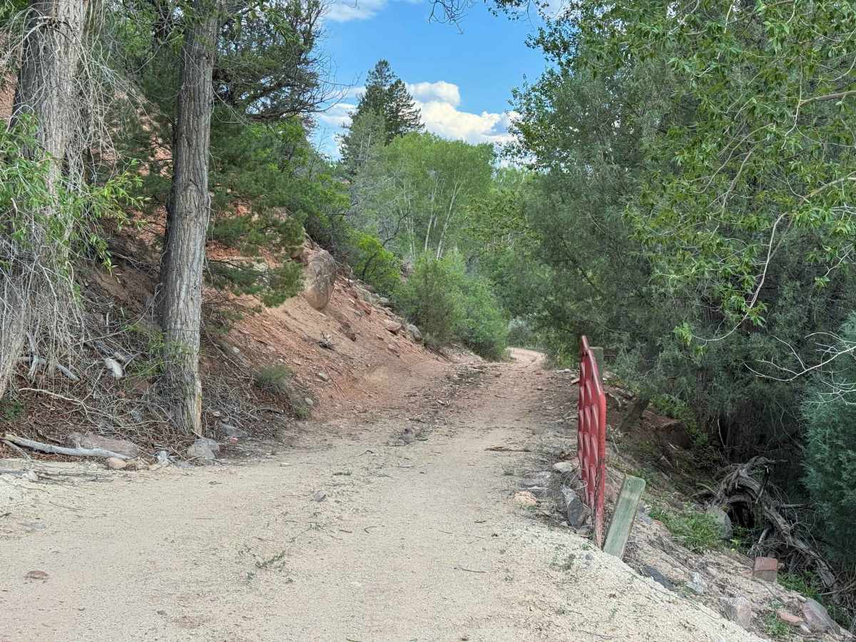
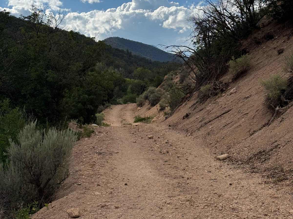
This Forest Service route begins where the BLM land ends, with the next two miles following a Forest Service easement that provides legal access across private property to the White River National Forest. Once you reach National Forest land, the road is closed to motorized travel, and continuing beyond this point is only possible on foot. A designated campsite is located just inside the National Forest boundary near the trailhead, making it a convenient base for hikers. The drive itself includes several off-camber sections created by seasonal landslides, so use caution and avoid driving too close to the edge of the narrow shelf road. A high-clearance 4WD vehicle is strongly recommended to safely navigate loose rock and debris that frequently washes onto the road from the uphill slopes. During Colorado’s monsoon season, conditions can change rapidly, with heavy rainfall capable of causing washouts, rockfall, and localized flooding, particularly near the lower sections of the route along the Colorado River.
Difficulty
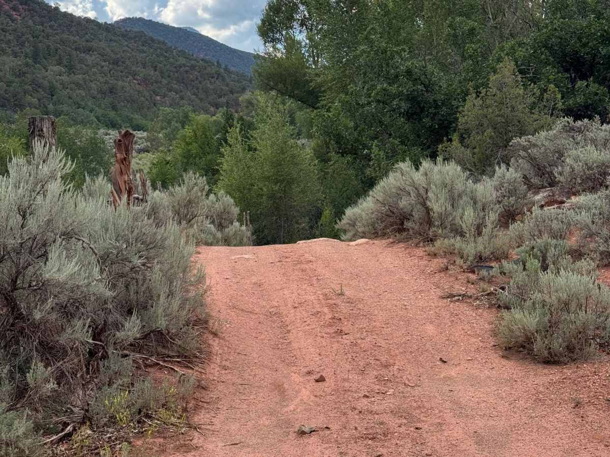
Although this route is not considered particularly difficult, a few climbs with loose, freshly eroded soil may require the use of 4WD for added traction. Engaging 4WD is also recommended where seasonal slides have deposited loose rock and dirt across the roadway. During Colorado’s monsoon season, this canyon is especially susceptible to flash flooding, washouts, and rockfall, so be sure to check the weather forecast before your trip and remain alert for rapidly changing conditions, particularly near the lower sections along the Colorado River.