Trail Overview
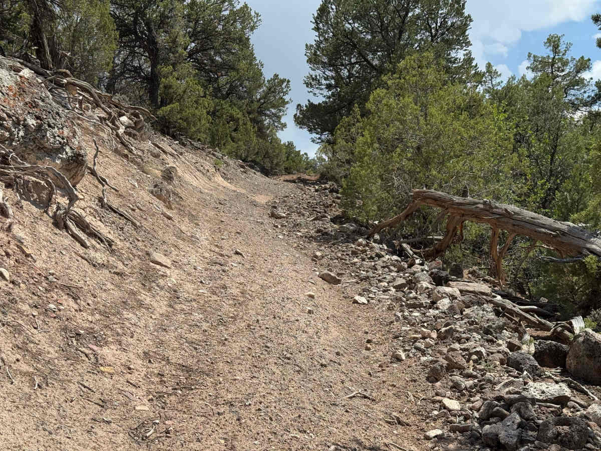
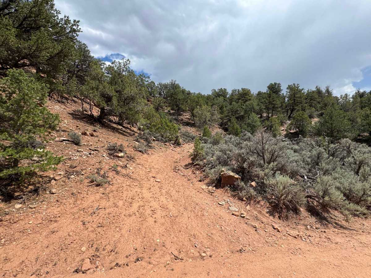
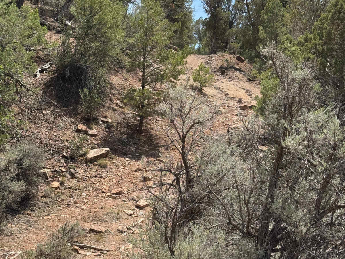
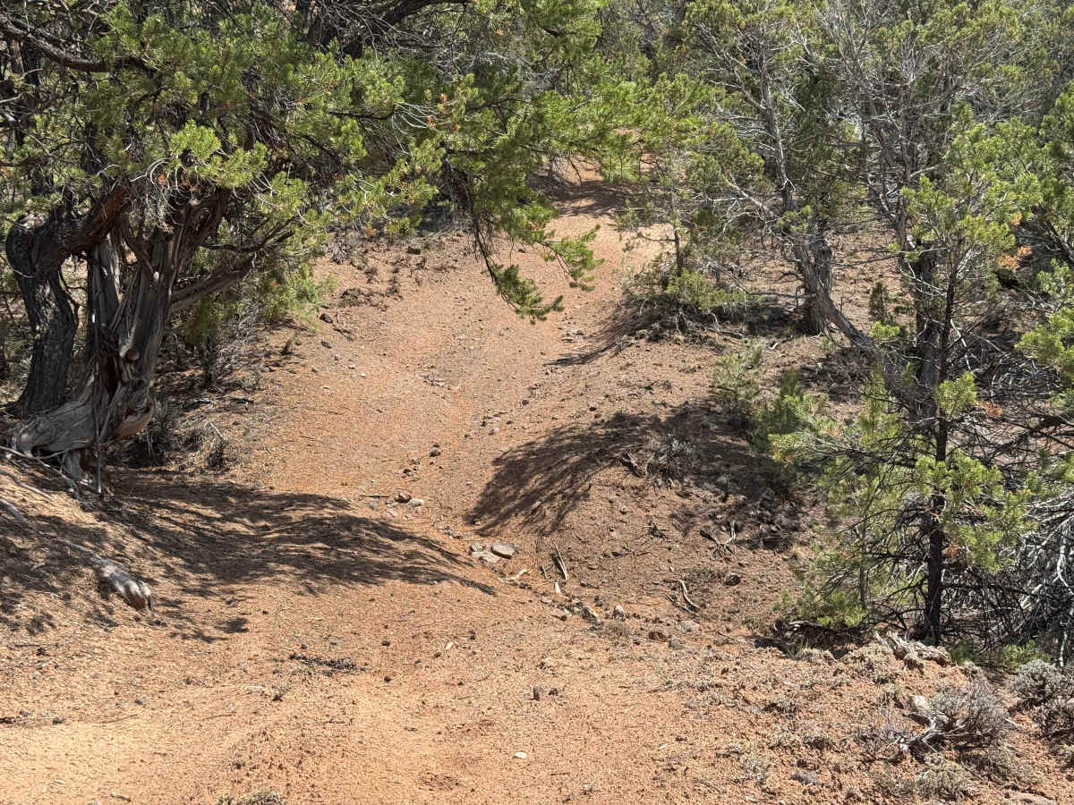
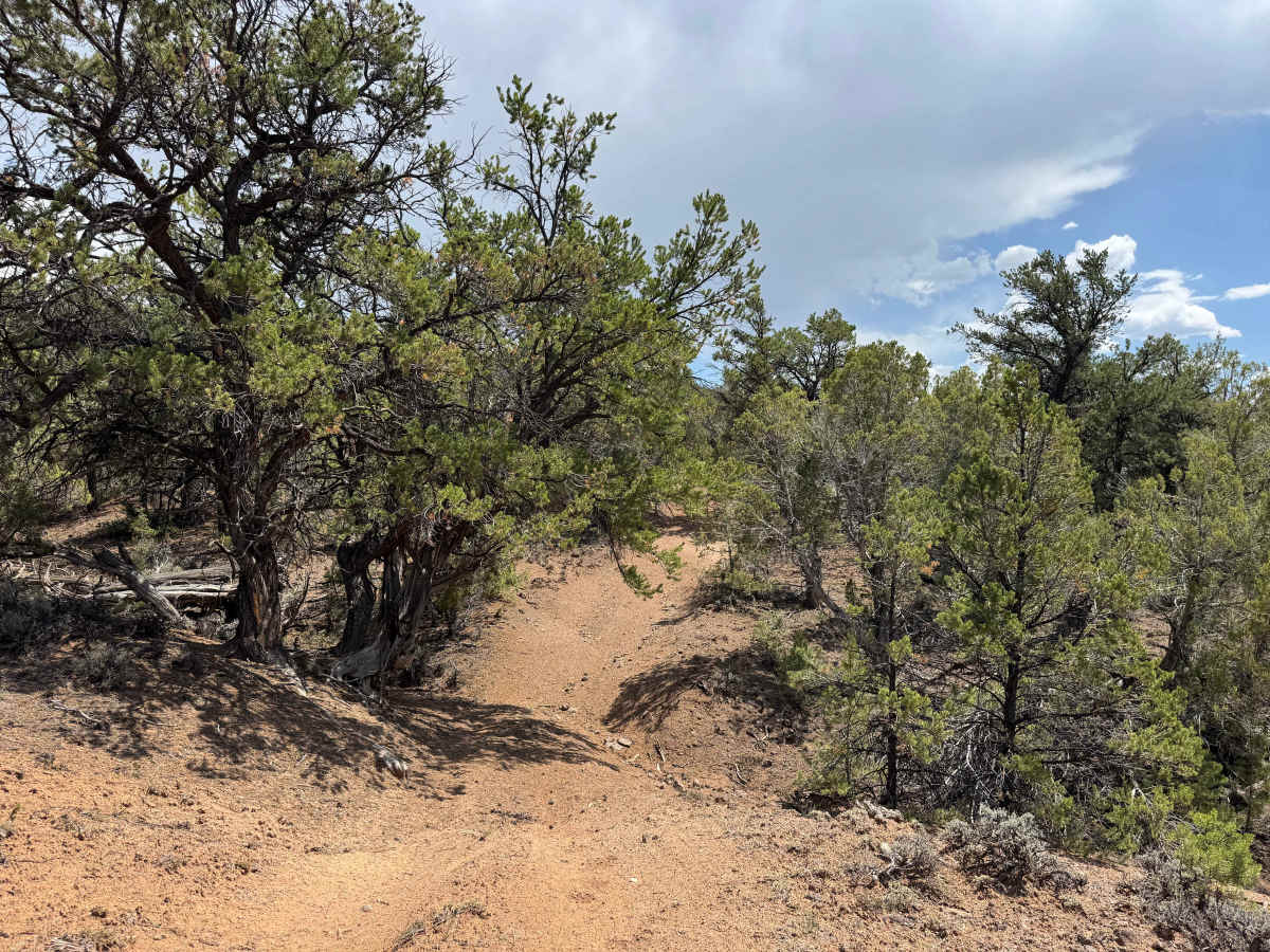
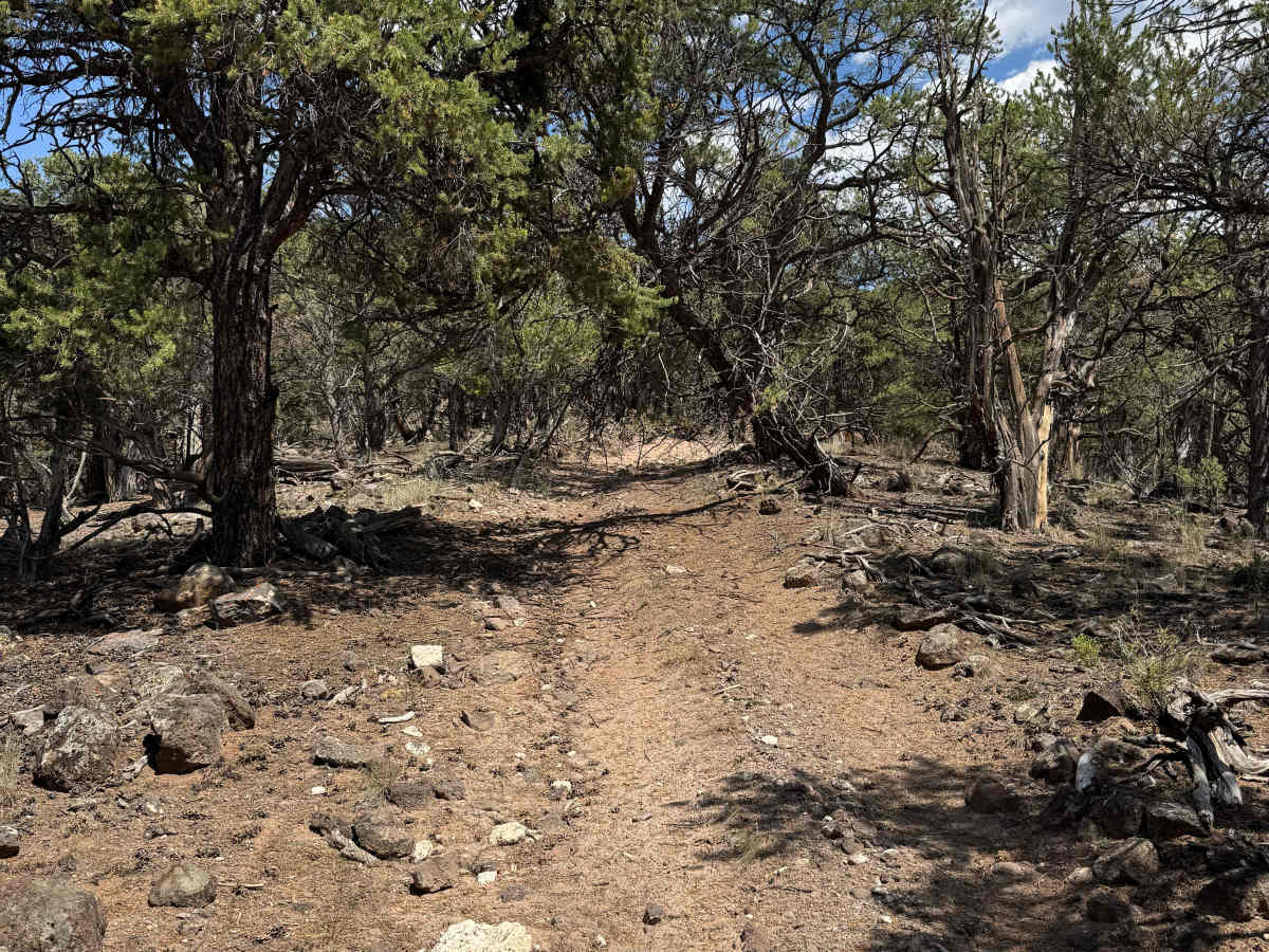
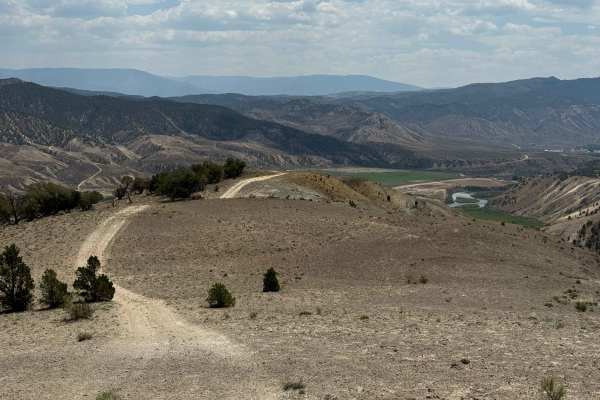
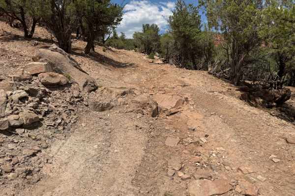
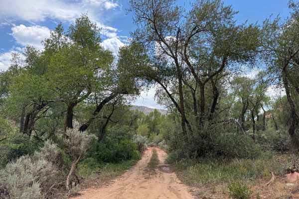
This BLM trail becomes challenging almost immediately after leaving the pavement and is intended only for experienced drivers with well-equipped, high-clearance 4WD vehicles. While a route may appear legally open to full-size vehicles, that does not mean it is practical or advisable for them. Within the first 100 yards, the trail climbs a steep, narrow, and heavily off-camber hillside that will test both driver skill and vehicle capability. Anything larger than a side-by-side will face significant obstacles, although a short-wheelbase Jeep with an experienced driver, recovery gear, a shovel, and a chainsaw may be able to complete the route. Beyond the initial climb, expect deep ruts exceeding two feet in places, tight squeezes through low-hanging trees, and several steep rock gardens that require careful tire placement. As the trail winds through lightly traveled terrain, it becomes increasingly faint before ending at a scenic mountaintop with a small primitive campsite and sweeping views of the surrounding landscape.
Difficulty
This is an intermediate trail that is best suited for side-by-sides, while larger vehicles should expect significant challenges and may not be able to complete the route. Even SxS drivers should carry a chainsaw, shovel, and appropriate recovery equipment. In dry conditions, the trail features multiple steep, narrow, off-camber sections extending 20 yards or more, requiring precise tire placement and careful throttle control. Low-hanging branches and tight tree corridors may require bypassing obstacles or clearing fallen timber with a chainsaw. Along the route, you’ll encounter several steep rock gardens, deep ruts exceeding two feet in places, often on only one side of the trail, and a particularly steep, deeply eroded washout that presents a serious obstacle for anything larger than a motorcycle or ATV. This route should only be attempted by experienced off-road drivers in properly equipped vehicles.
History
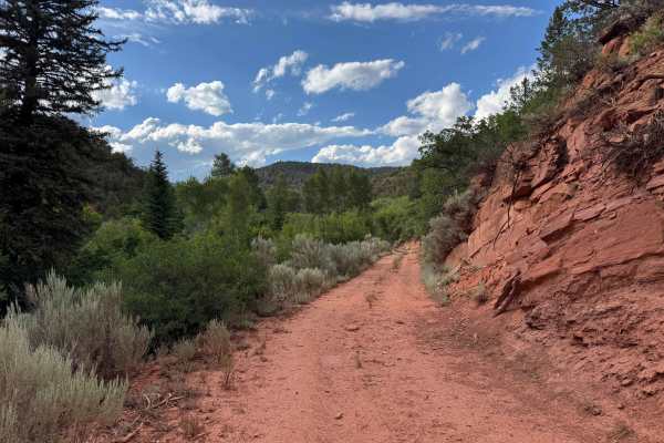
Poison Creek, located just north of the Colorado River near Dotsero, has a history tied more to ranching, travel, and public land than to mining or settlement. The creek drains the southern edge of the Flat Tops before flowing into the Colorado River, and the surrounding area was historically used by the Ute people long before Euro-American settlers arrived. In the late 1800s, ranchers began grazing cattle and sheep throughout the valley, and many of the roads that now serve as BLM and Forest Service routes originated as wagon roads built to reach summer grazing allotments. The name “Poison Creek” is generally believed to come from poisonous plants—such as larkspur or other toxic vegetation—that occasionally sickened livestock grazing along the drainage, a common naming convention throughout the West rather than a reference to contaminated water. The nearby Dotsero area later became an important transportation corridor with the arrival of the railroad in the 1880s and the completion of the Dotsero Cutoff in 1934, linking Denver and Salt Lake City more directly. Today, the Poison Creek area is managed primarily by the BLM and the White River National Forest and is valued for its dispersed camping, off-road recreation, hunting, and access to the surrounding backcountry.