Trail Overview
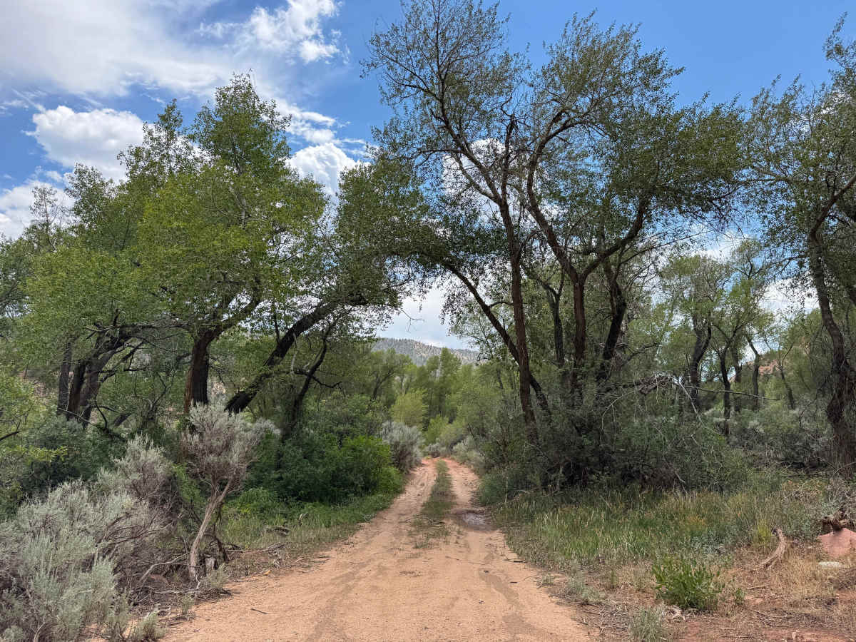
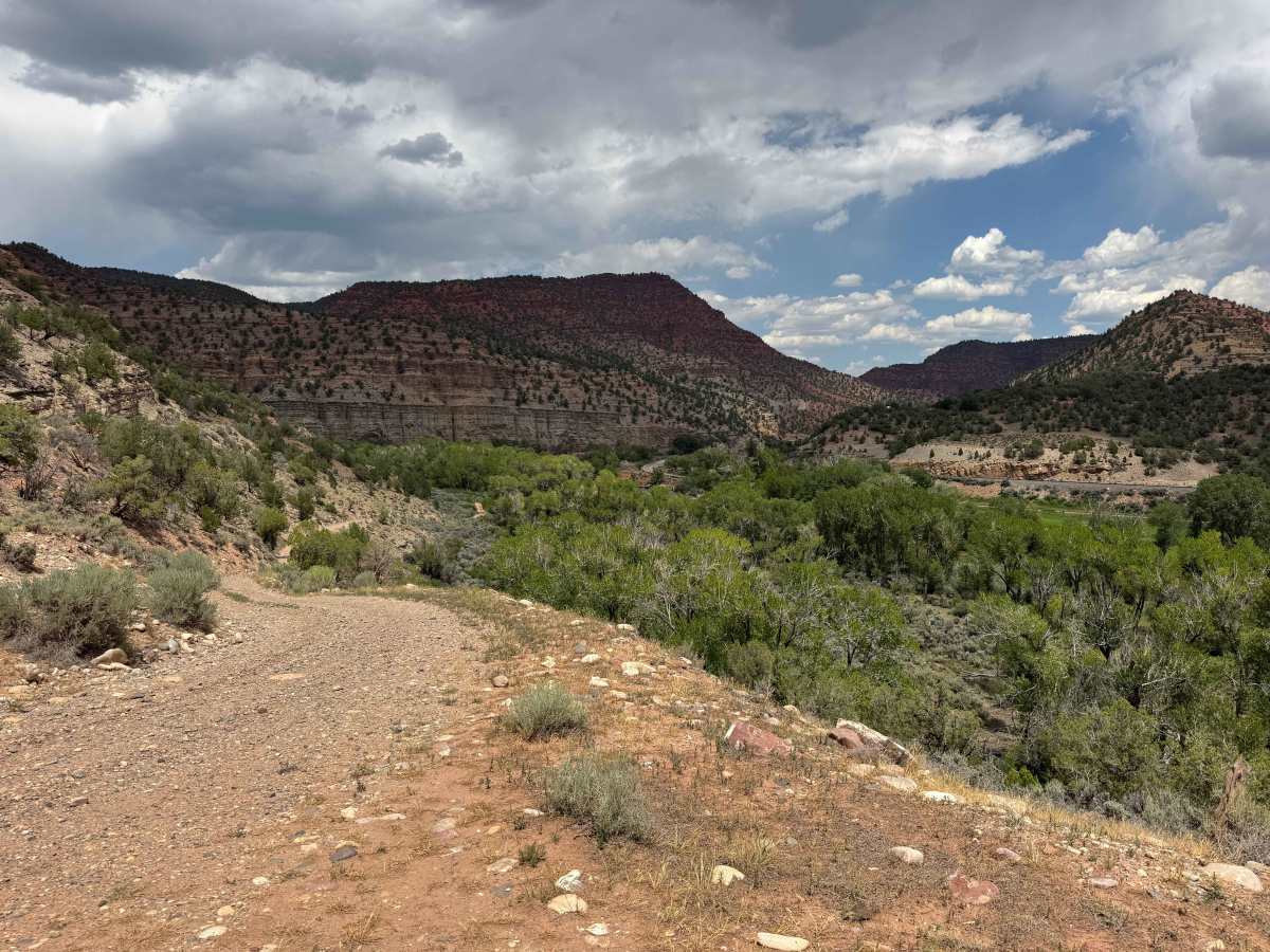
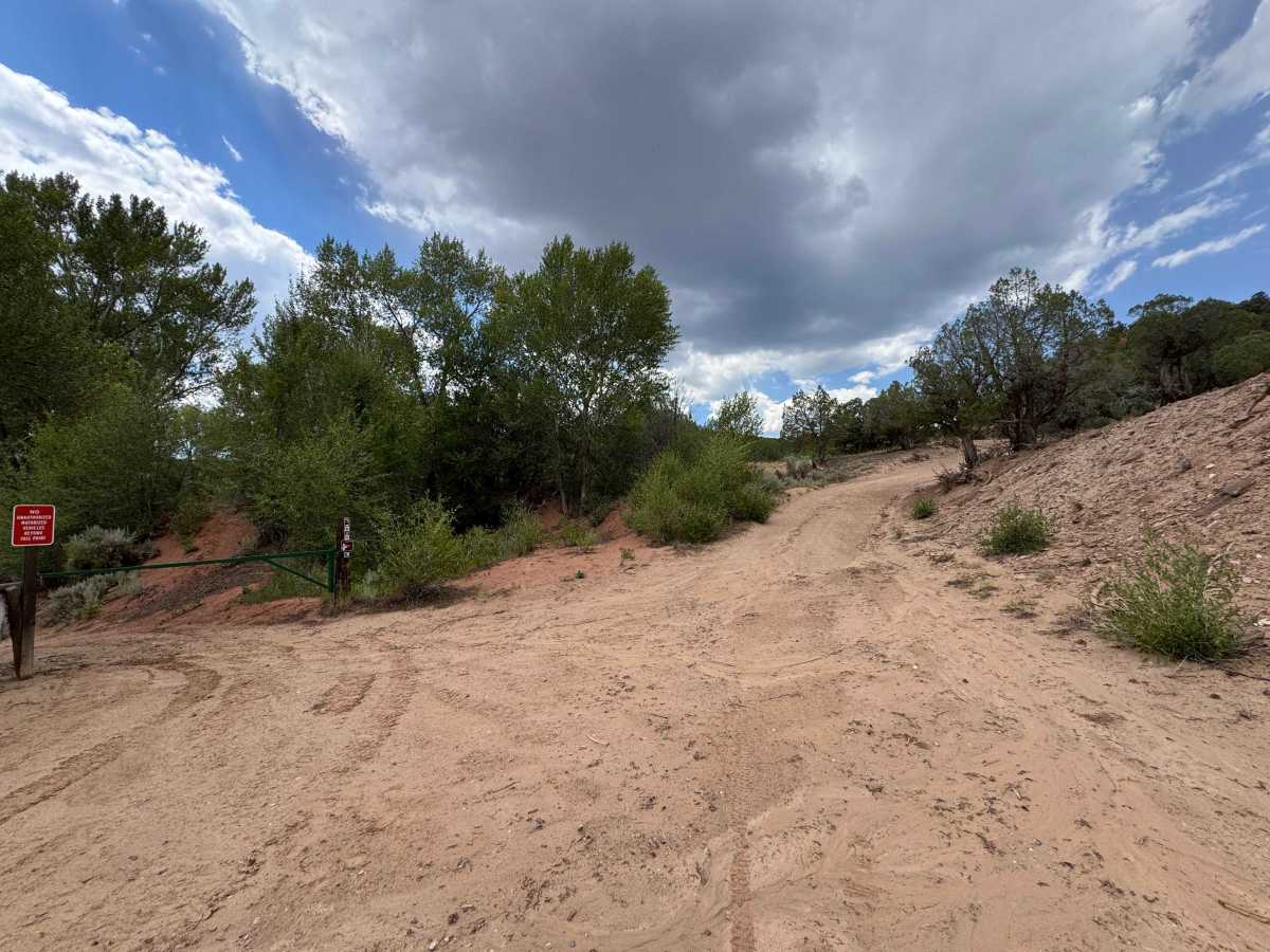
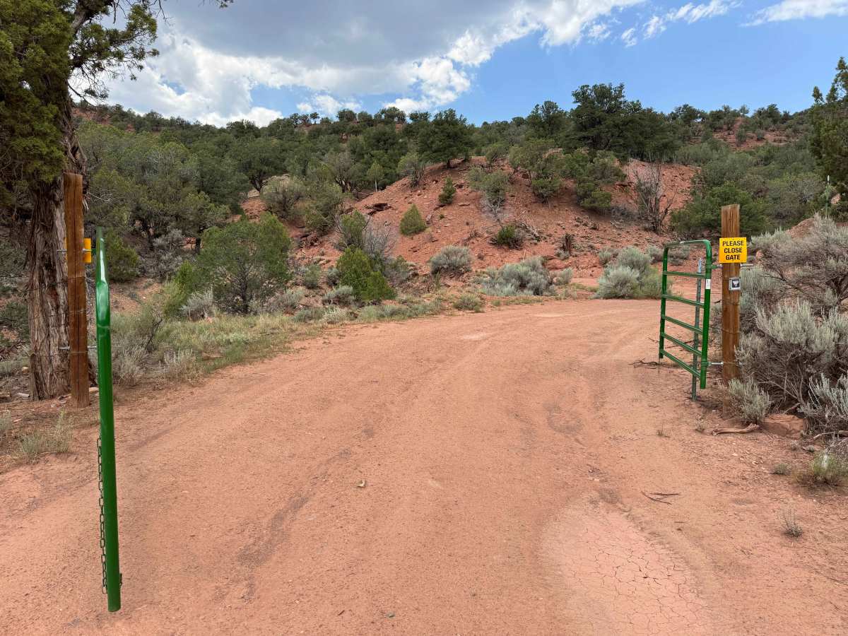
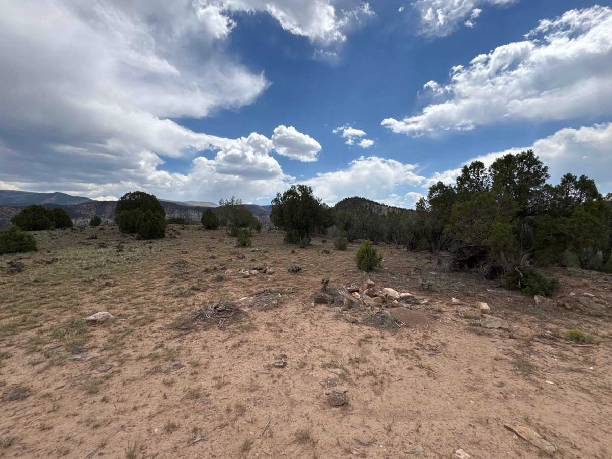
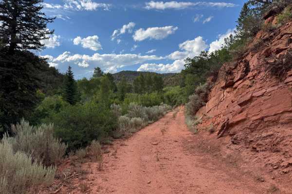
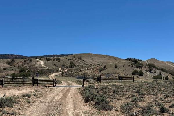
This scenic BLM route begins along the Colorado River near the Eagle County Open Space before climbing gradually into the canyon alongside Poison Creek. As the trail gains elevation, you’ll be treated to spectacular views of the surrounding red rock cliffs and rugged canyon walls that define this beautiful stretch of western Colorado. The drive is generally easy and does not typically require 4WD in dry conditions, although a vehicle with good ground clearance is recommended. Along the way, you’ll find several spacious, flat campsites ideal for dispersed camping, as well as excellent opportunities to spot local wildlife, including mule deer and a variety of birds. The route ultimately ends at a locked gate and clearly marked private property boundary, where public access comes to an end.
Difficulty
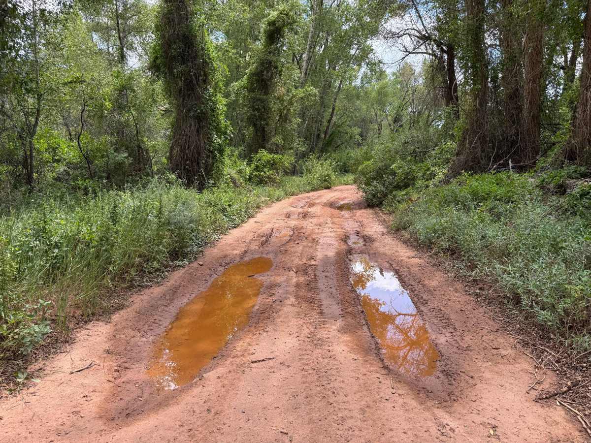
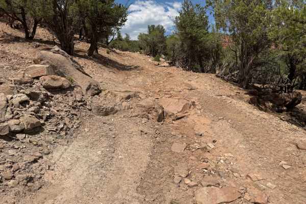
This trail is generally easy to navigate in dry conditions and is suitable for most high-clearance vehicles. The primary obstacles are a series of rain ruts that often hold water, making adequate ground clearance important to avoid undercarriage contact. Under normal conditions, 4WD is typically unnecessary, but it can be helpful if you encounter muddy sections or become stuck after recent rainfall. This area is also prone to flash flooding, particularly during Colorado’s monsoon season, so always check the weather forecast before your trip and use extra caution when traveling through the lower sections of the route near the Colorado River basin, where rising water can quickly make the trail impassable.
History
Poison Creek, located just north of the Colorado River near Dotsero, has a history tied more to ranching, travel, and public land than to mining or settlement. The creek drains the southern edge of the Flat Tops before flowing into the Colorado River, and the surrounding area was historically used by the Ute people long before Euro-American settlers arrived. In the late 1800s, ranchers began grazing cattle and sheep throughout the valley, and many of the roads that now serve as BLM and Forest Service routes originated as wagon roads built to reach summer grazing allotments. The name “Poison Creek” is generally believed to come from poisonous plants—such as larkspur or other toxic vegetation—that occasionally sickened livestock grazing along the drainage, a common naming convention throughout the West rather than a reference to contaminated water. The nearby Dotsero area later became an important transportation corridor with the arrival of the railroad in the 1880s and the completion of the Dotsero Cutoff in 1934, linking Denver and Salt Lake City more directly. Today, the Poison Creek area is managed primarily by the BLM and the White River National Forest and is valued for its dispersed camping, off-road recreation, hunting, and access to the surrounding backcountry.