Trail Overview
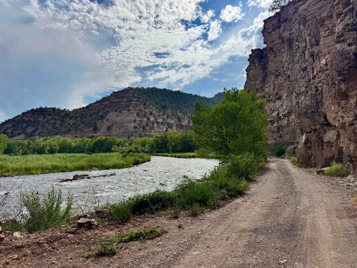
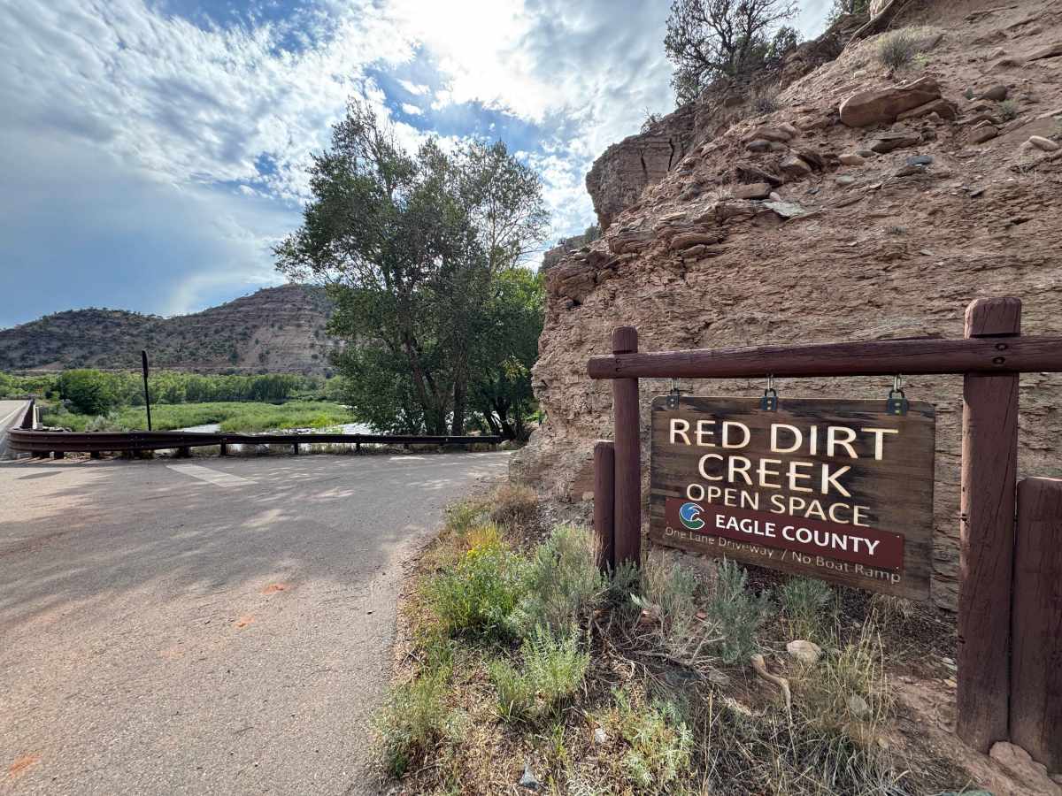
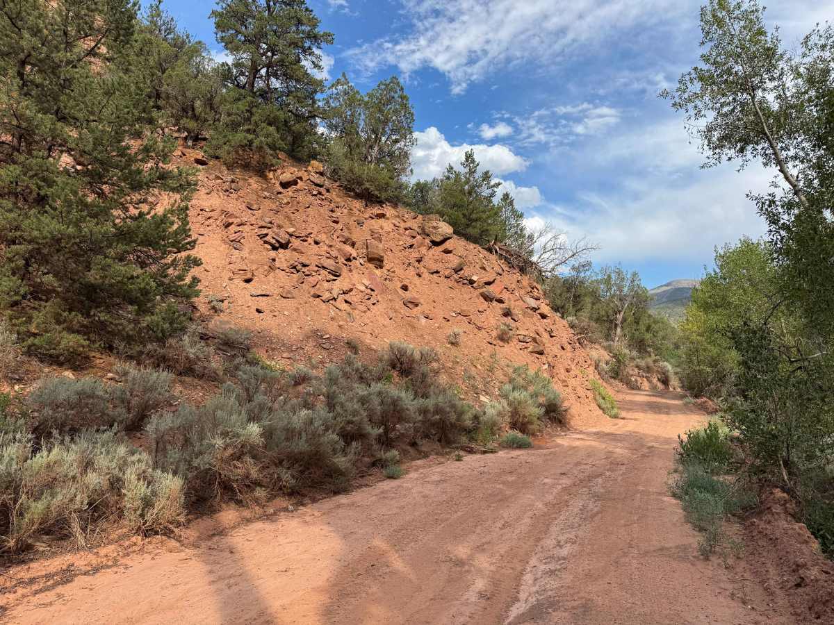
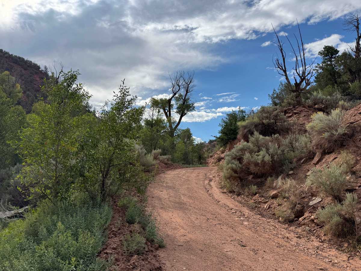
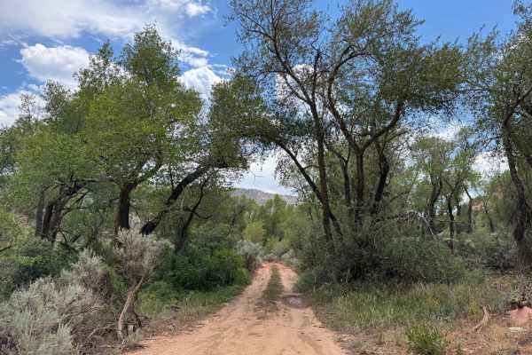
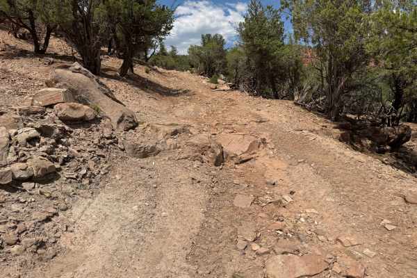
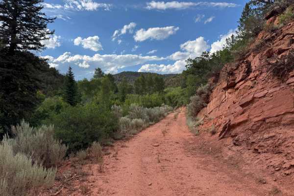
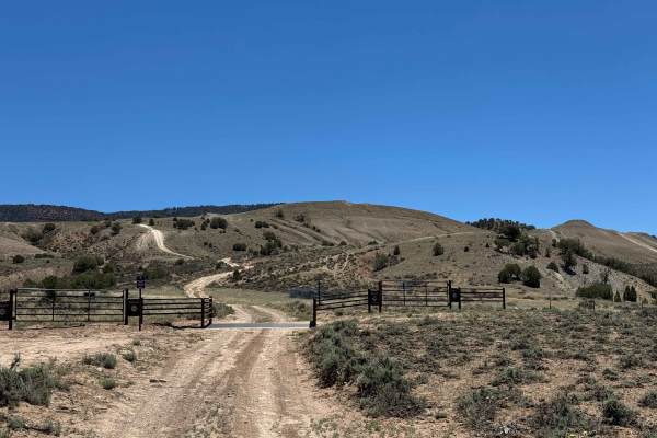
This BLM route begins just off Highway 301, following the Colorado River before passing through the Eagle River Public Access Area and climbing toward the White River National Forest. The Eagle River Public Access Area is designated for non-motorized recreation and features access for launching rafts, kayaks, and other small watercraft. The BLM portion of the trail is generally easy to navigate, with only a few loose sections that most high-clearance vehicles can traverse without engaging 4WD. Drivers who continue beyond the mapped BLM section will encounter progressively more challenging terrain as the route enters the surrounding mountains. This trail ends where the BLM route transitions onto private property. From there, a designated Forest Service right-of-way provides legal public access across the private land to the White River National Forest beyond. Because this corridor is prone to flooding, particularly near the Colorado River, always check the weather forecast before your trip and use extra caution during Colorado’s monsoon season.
Difficulty
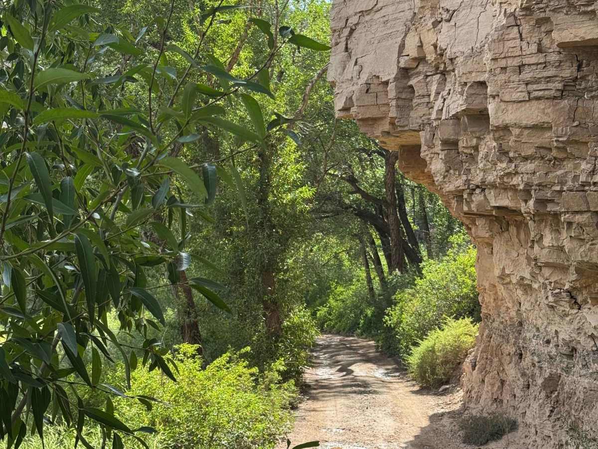
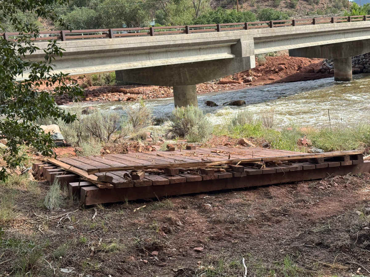
Although this BLM route is not technically challenging, it is extremely narrow in many sections, with few places wide enough for two vehicles to pass. Along the drive, you’ll encounter a massive section of bridge that was washed downstream during a powerful monsoon flood, serving as a reminder of the forces that shape this canyon. Because the area is highly susceptible to flash flooding, especially near the Colorado River. Always check the weather forecast before your trip and avoid entering the canyon when heavy rain is expected.