Trail Overview
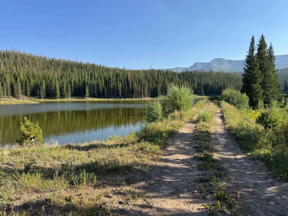
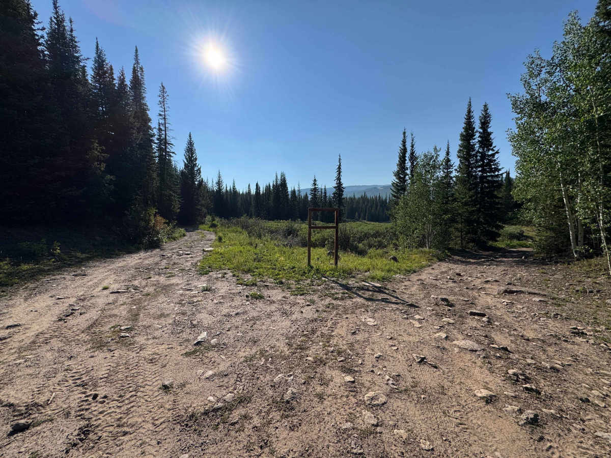
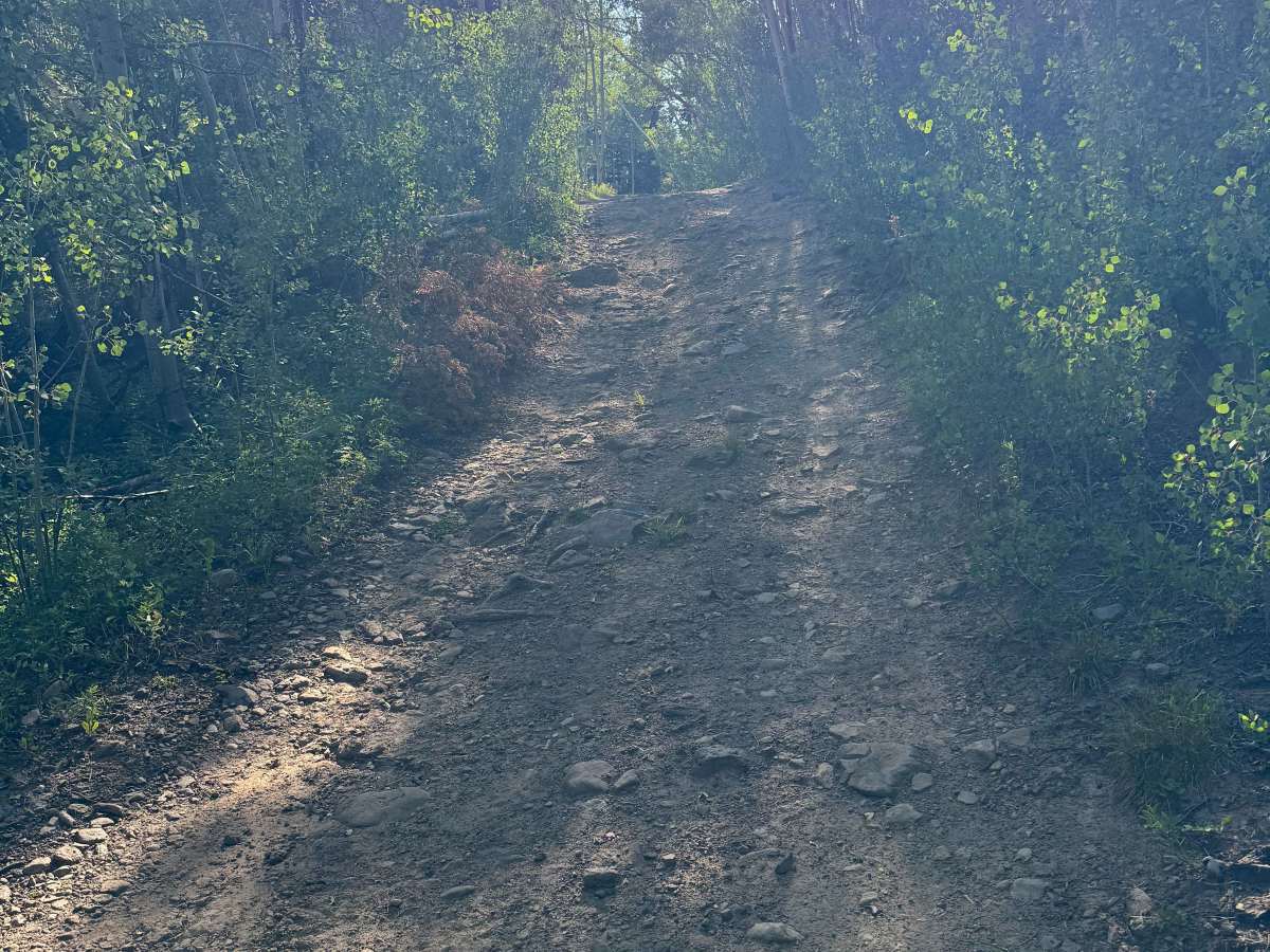
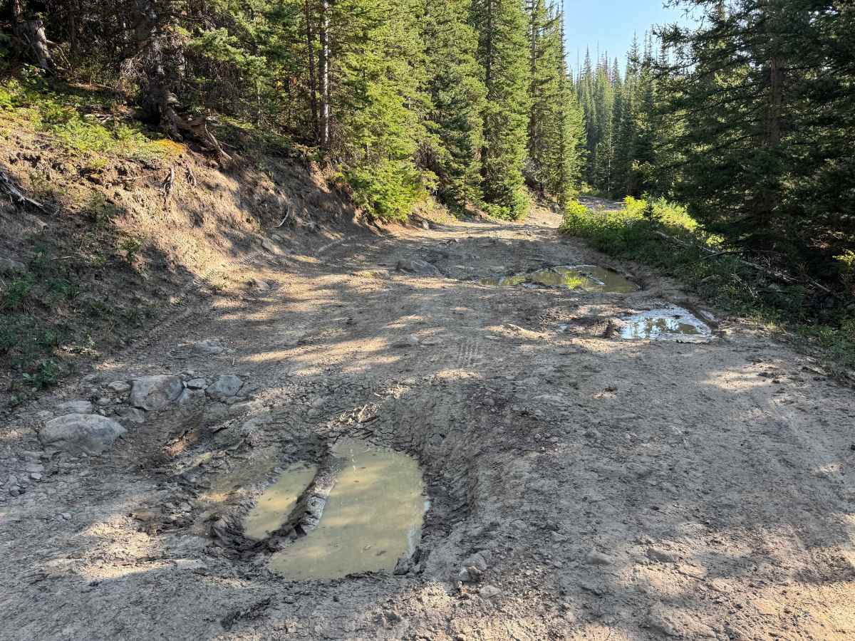
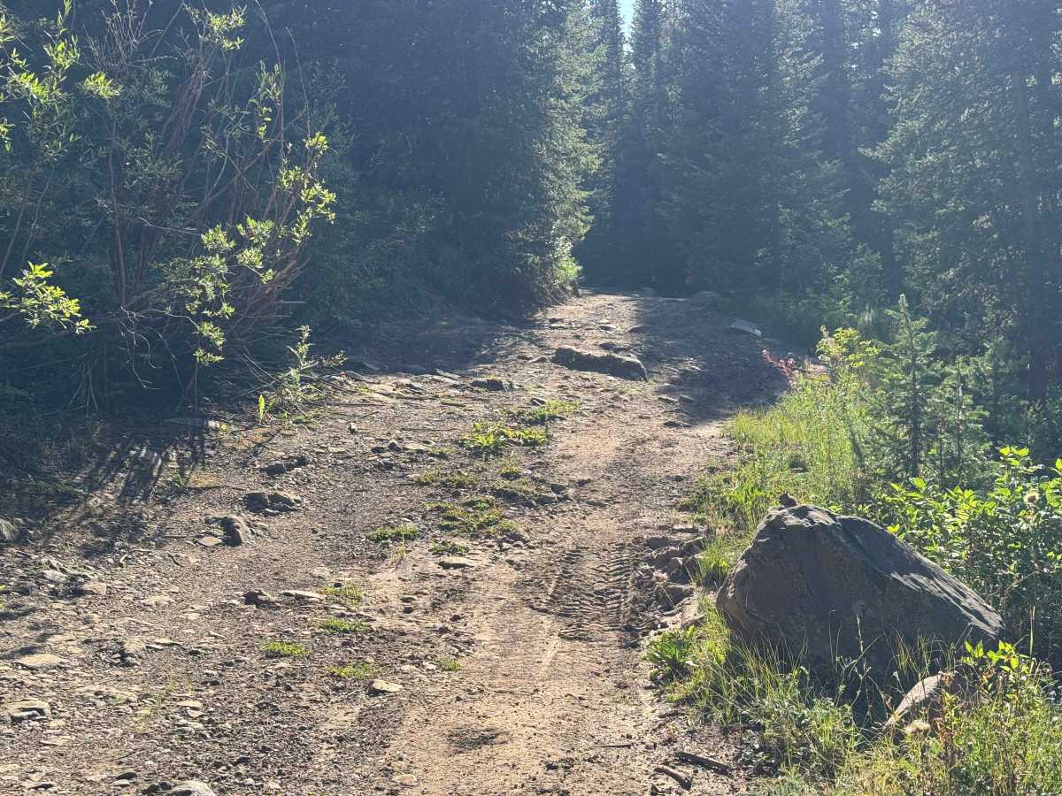
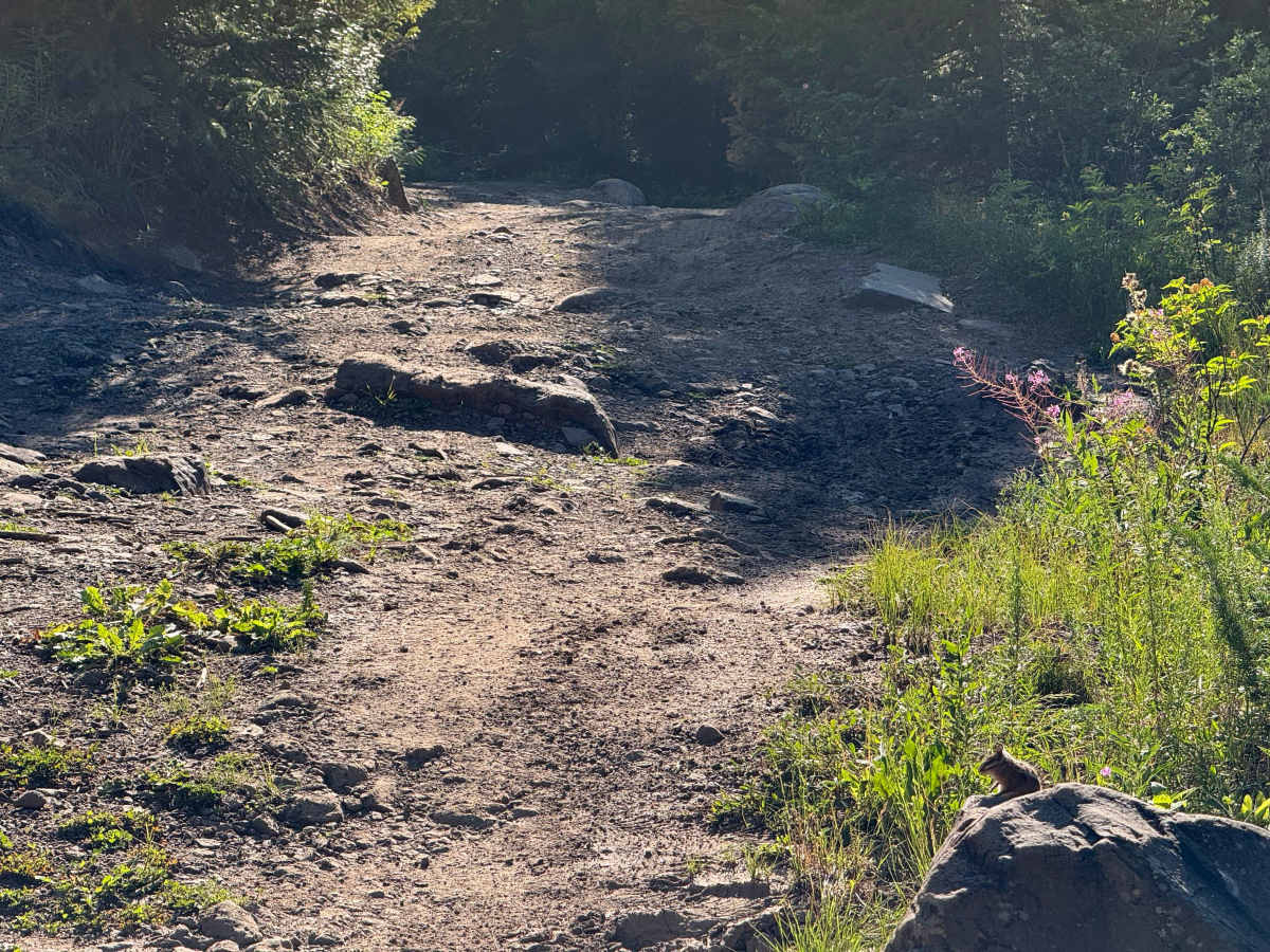
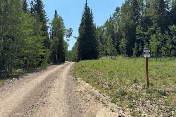
This route is best suited for a short-wheelbase, high-clearance 4WD vehicle with experienced drivers behind the wheel. After leaving the main road, the trail quickly becomes steep and rocky, with loose climbs leading toward the lakes. As you continue, the mud holes grow larger and deeper, and numerous rocks—many exceeding 12 inches in height—appear in the center of the trail. The primary obstacle, which earns this route its intermediate rating, is located just before the sharp 90-degree right turn toward the lake, where a large boulder blocks much of the road. Smaller vehicles can usually maneuver around it, but the most technical section begins immediately after the turn, descending toward the lake over uneven terrain with several large embedded boulders that require careful tire placement. Drivers of anything larger than a dirt bike or ATV should consider walking this short section first to plan the safest line and avoid undercarriage damage. If you prefer not to tackle the descent, there is a parking area at the top where you can walk to the lake. Those who continue will be rewarded with four or five scenic campsites nestled between the two lakes before the road reaches its end.
Difficulty
While this route is significantly easier in a high-clearance 4WD vehicle, the final 10% of the trail is what earns it its higher difficulty rating. This assessment assumes dry conditions. Just before the sharp right turn toward the lake, you’ll encounter a large boulder that must be driven around or over. After making the 90-degree turn, several embedded boulders exceeding 12 inches in height require careful tire placement and thoughtful line selection, depending on your vehicle’s ground clearance. Airing down your tires is highly recommended to improve traction and ride quality, and adequate ground clearance is essential. Before attempting the final descent, it’s wise to walk the section first to identify the best line and avoid undercarriage damage.
History
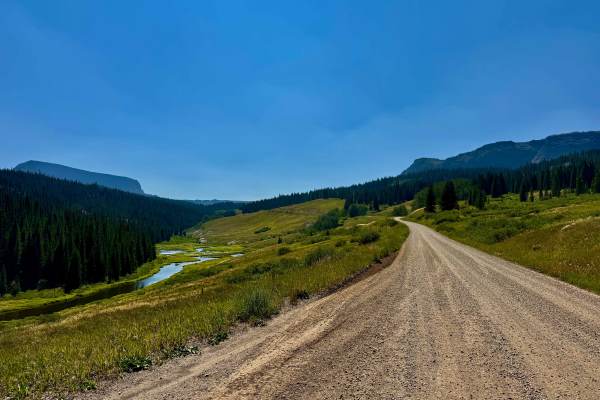
The Bear River Road area has a rich history rooted in Colorado’s ranching, timber, and early settlement eras. Long before European settlers arrived, the Ute people traveled these valleys to hunt and follow seasonal game. In the late 1800s, ranchers used the corridor to access high-country grazing lands, while logging operations in the early 1900s led to improvements of the road after the establishment of the Routt National Forest. Today, Bear River Road provides access to the Flat Tops region, where traces of the area’s ranching and forestry heritage can still be found alongside its outstanding recreational opportunities.