Trail Overview
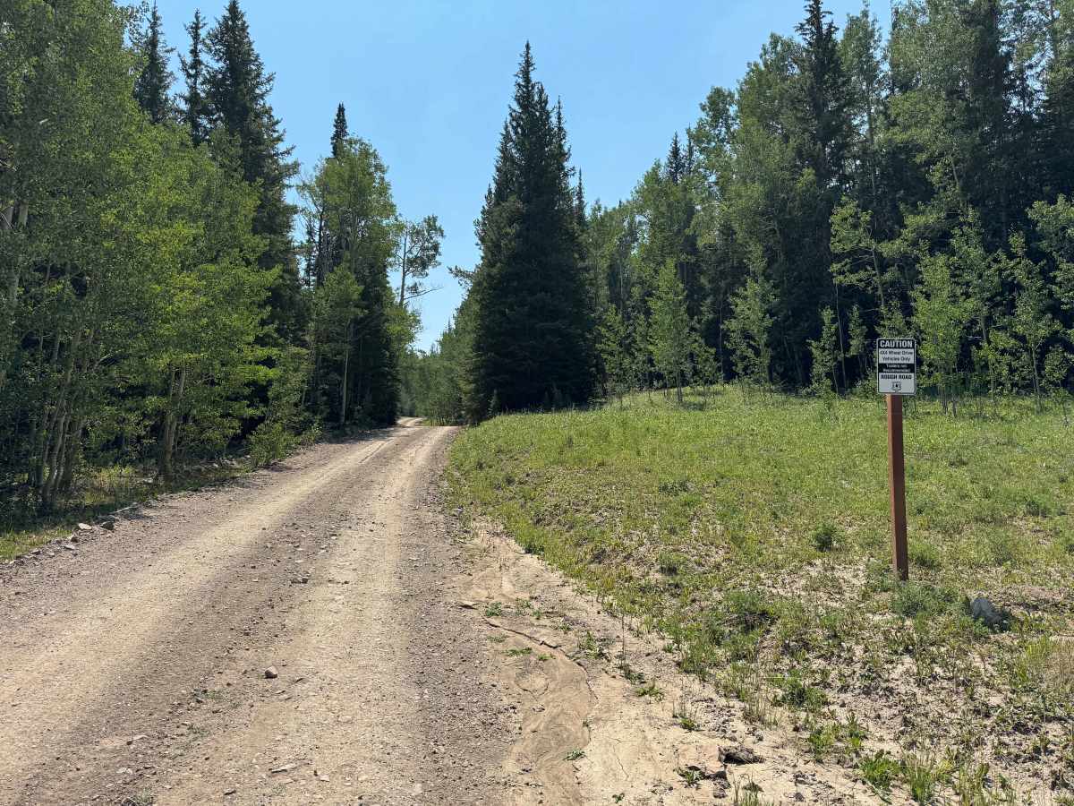
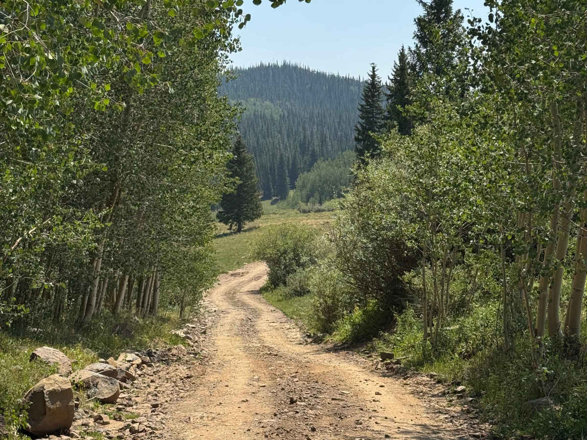
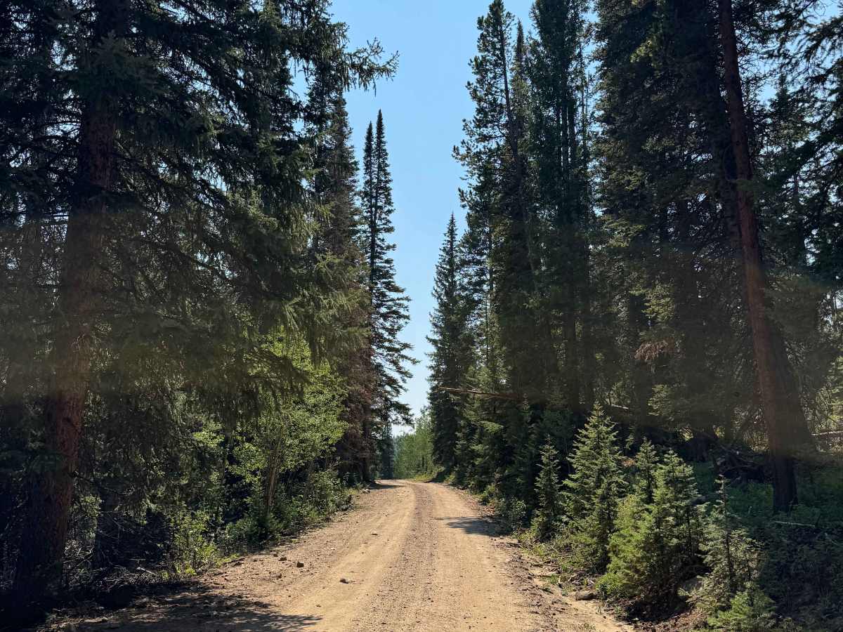
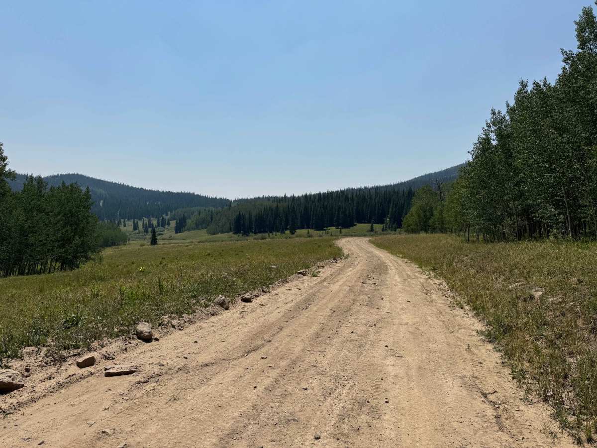
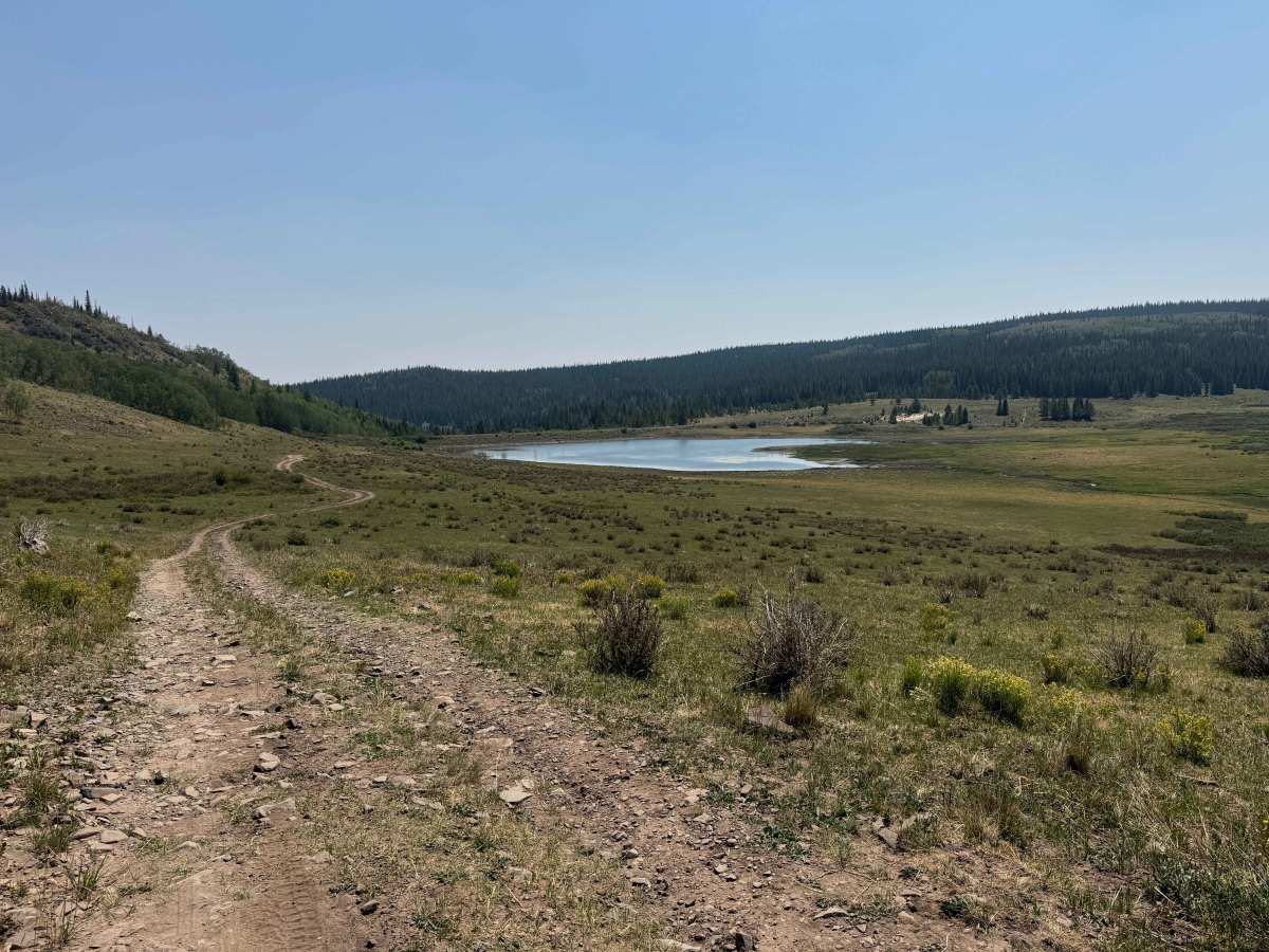
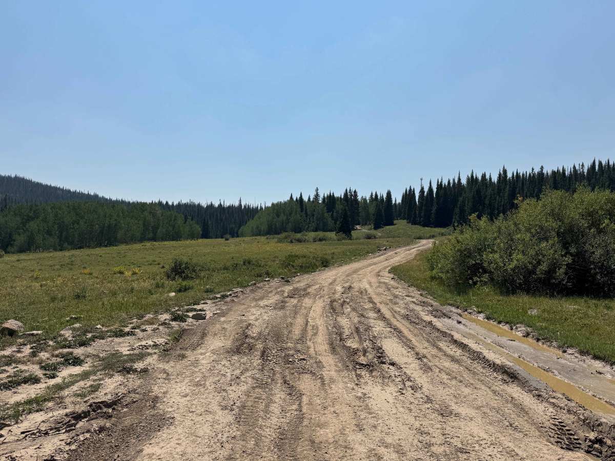
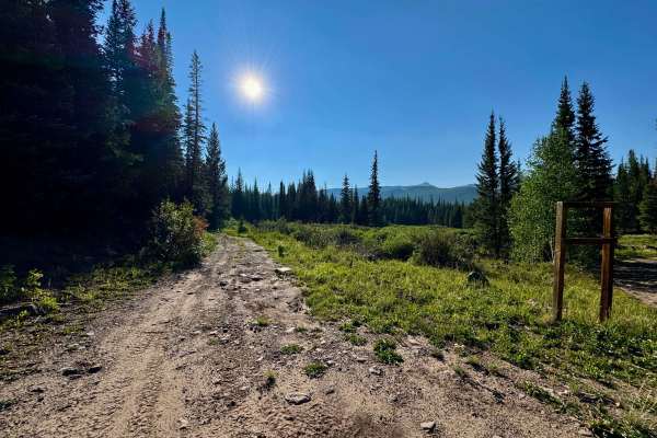
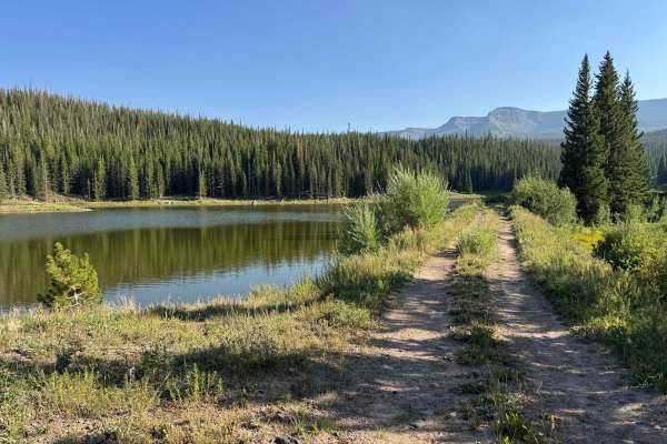
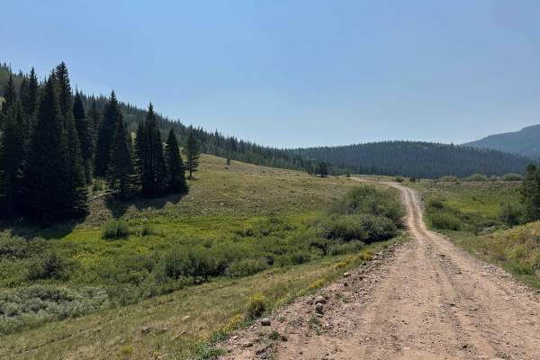
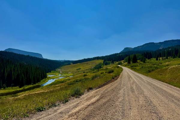
This short out-and-back route offers a few surprises along the way and is generally an easy drive, with the primary challenges being a water crossing and several deeply rutted sections. The trail begins in dense pine forest before emerging into open mountain meadows, and a short spur to the left leads a few hundred yards to Harper Reservoir. Continuing along the main route, you’ll pass several side spurs leading to dispersed campsites before reaching a creek crossing that was approximately 12 inches deep at the time of mapping. The road continues only a short distance beyond the crossing before terminating in a large open meadow at the boundary between Routt National Forest and White River National Forest.
Difficulty
This is not an especially difficult trail when conditions are dry, and you’re driving a high-clearance vehicle. In most conditions, 4WD may not be necessary, but it is recommended to have it available should the stream crossing become deeper or more challenging.
History
Harper Road and Harper Reservoir have a history tied to the ranching and water-storage development of the upper Bear River region. Harper Reservoir, also known as Edward W. Harper & Sons Reservoir, was established in the late 1940s on Egeria Creek to provide water storage primarily for irrigation. A water right dating to 1947 was later formally decreed in 1956 for nearly 195 acre-feet of storage. Today, the reservoir remains a quiet feature of the forested mountain landscape, while Harper Road provides access through an area where historic agricultural water use blends with the surrounding Routt National Forest and the remote recreation opportunities of the Bear River drainage.