Trail Overview
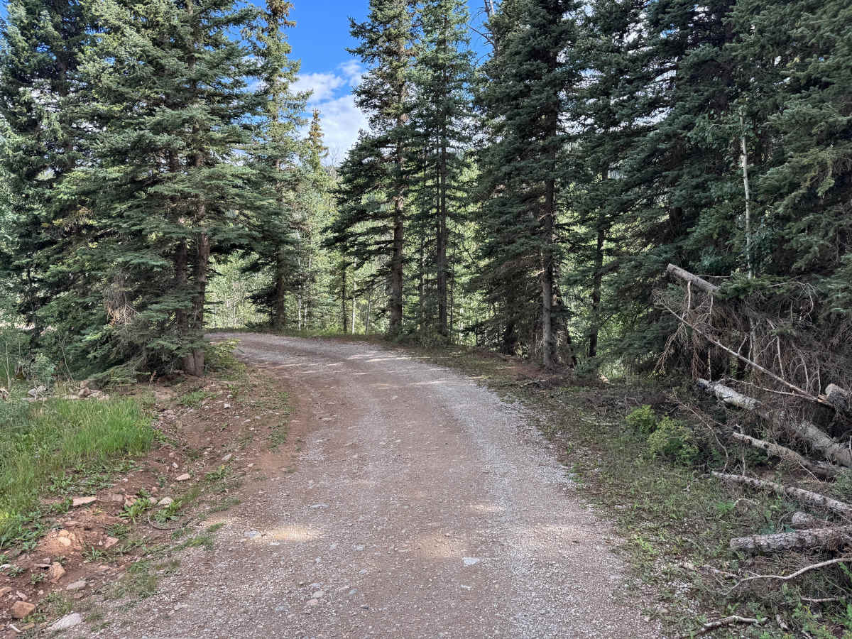
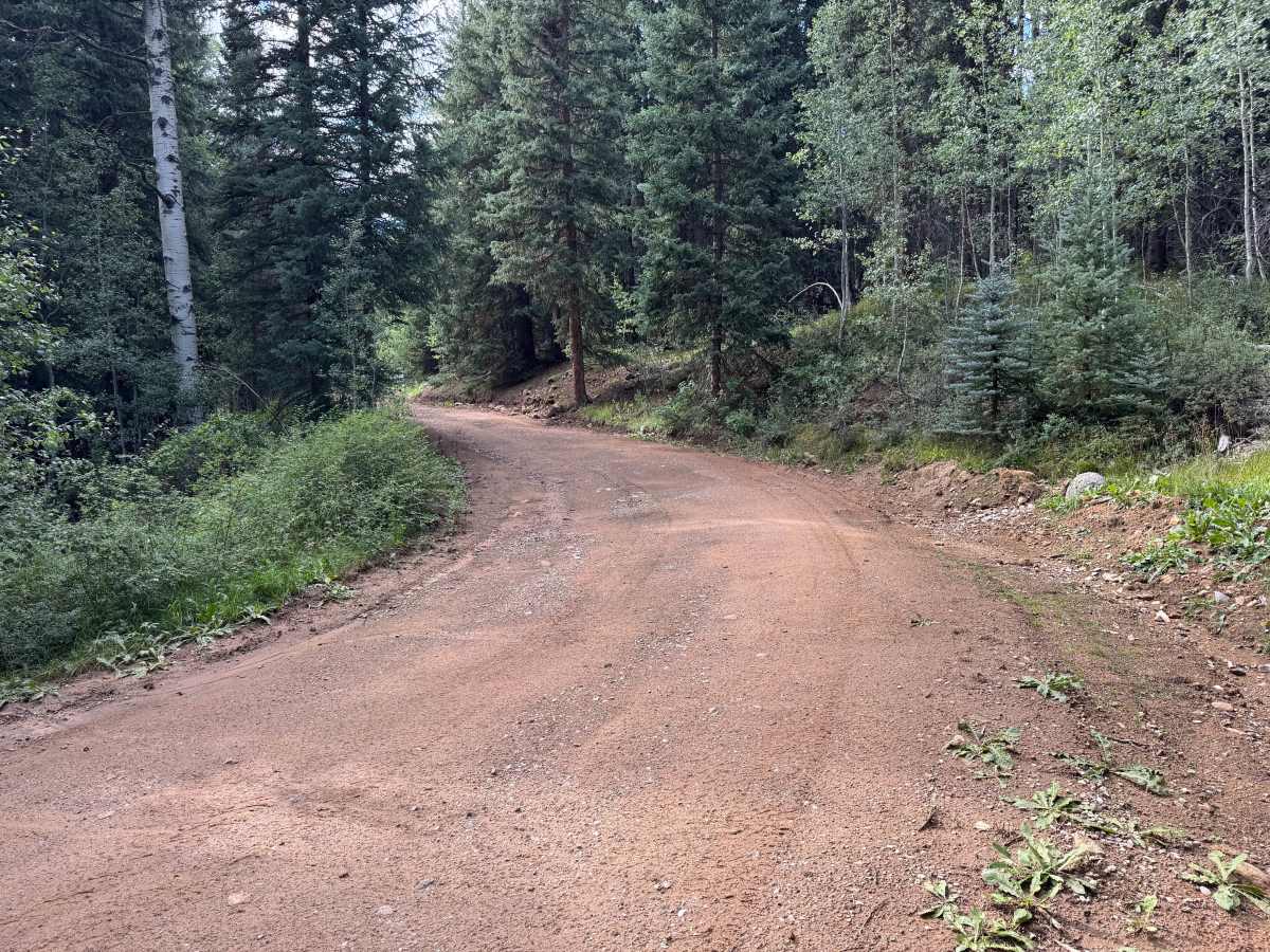
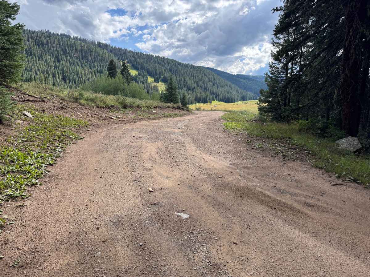
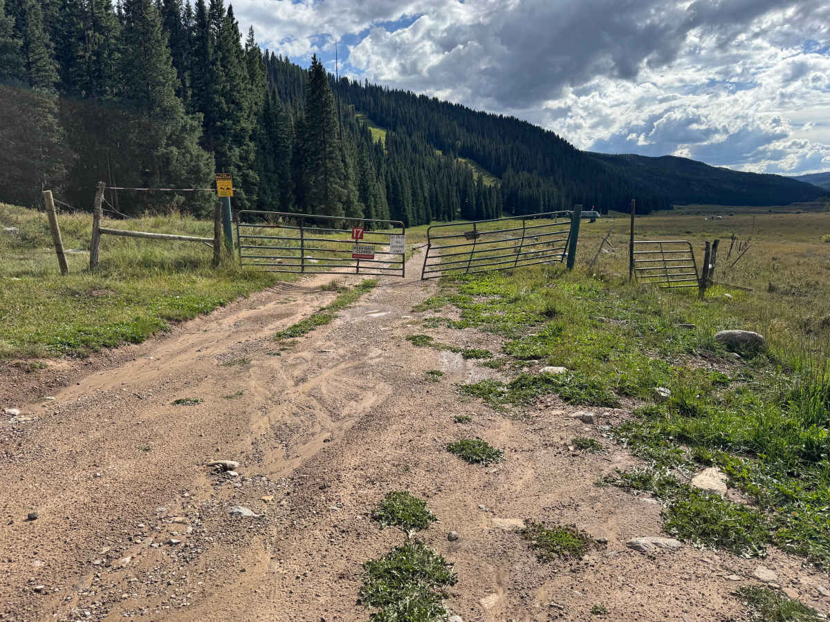
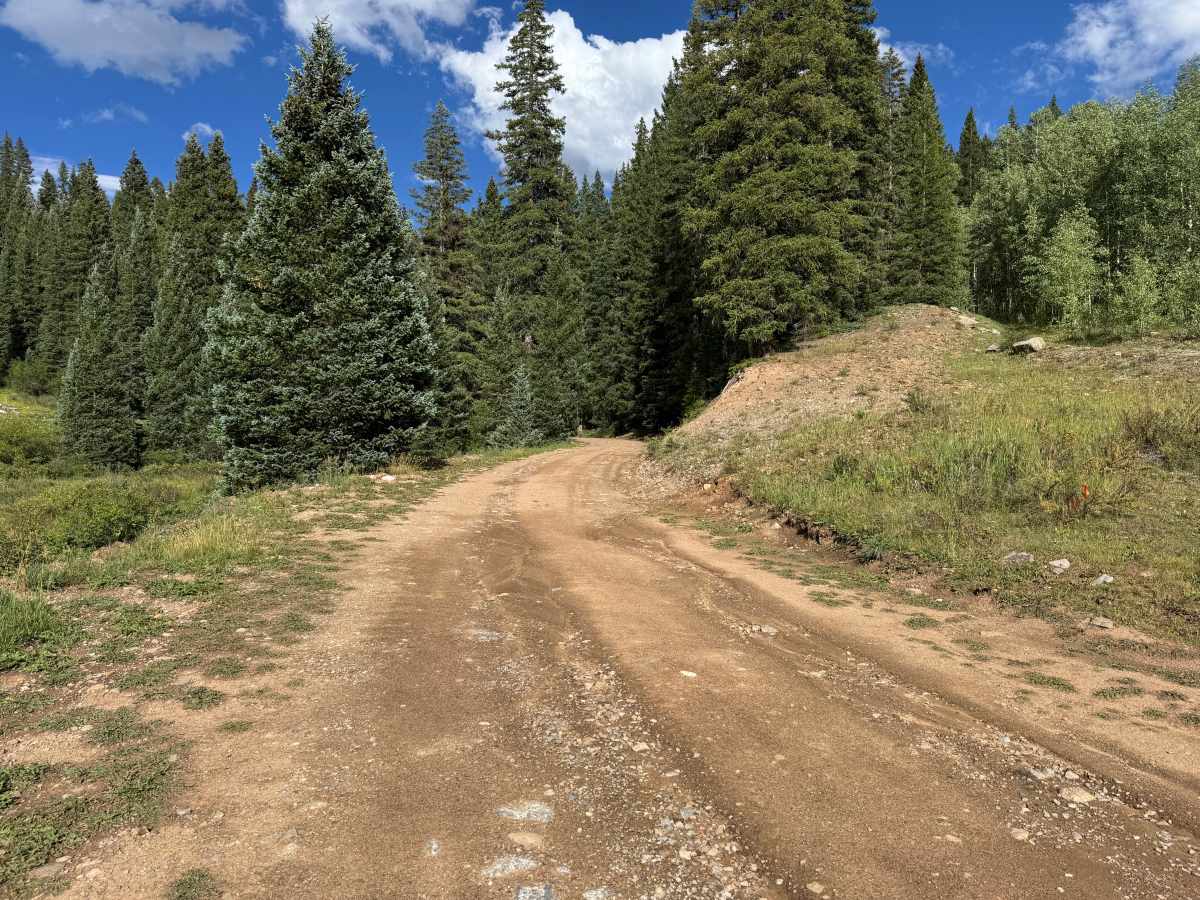
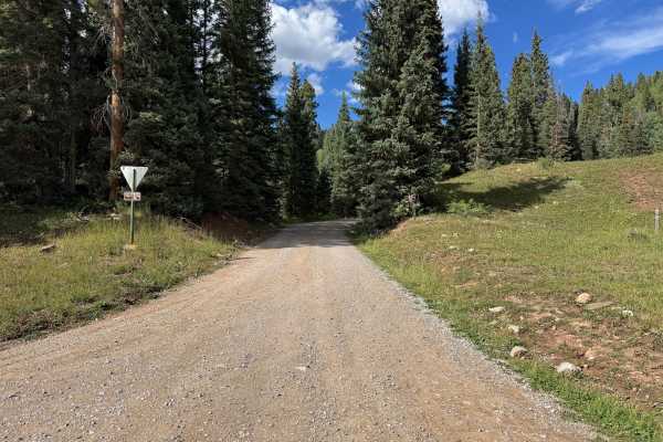
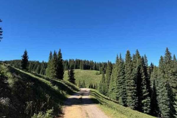
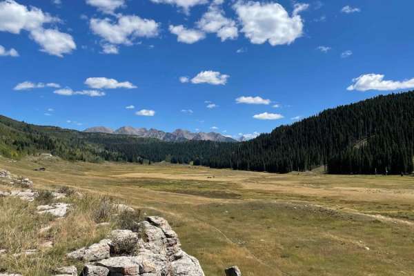
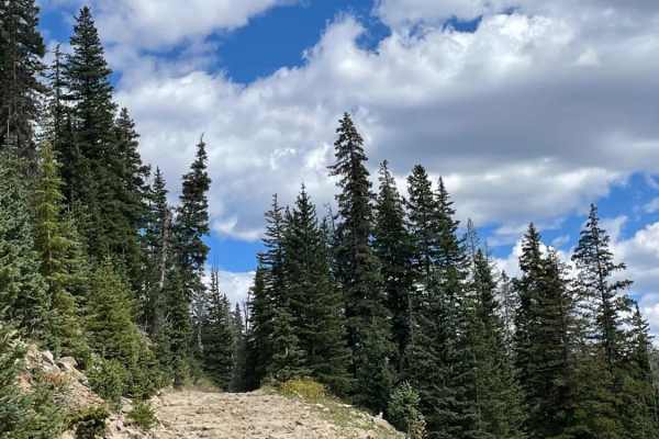
This route is fairly well maintained, with a mostly smooth surface of packed dirt and gravel with scattered small rocks and occasional shallow ruts. It winds and zigzags through dense forest made up primarily of spruce, fir, and pockets of aspen, with thick shrubs and other vegetation lining portions of the roadway. As the route descends, the forest eventually opens into a broad mountain meadow, providing expansive views across the valley and surrounding forested slopes. The route continues across the meadow toward a ski lift structure before reaching a clearly marked gate. Motorized travel is not permitted beyond the gate, although posted signage indicates mountain bikes may continue around it. There is sufficient room near the gate for vehicles to turn around and return the way they came.
Difficulty
Mostly smooth, maintained packed dirt and gravel with scattered small rocks and occasional shallow ruts. There are no significant obstacles, rock ledges, or technical sections along the route. Grades are generally manageable, and the road provides adequate width for normal travel. Most vehicles should have little difficulty completing this route under dry conditions.
History
The Hermosa Creek area has a long history of transportation, ranching, forestry, and recreation. Settlement began near the mouth of Hermosa Creek in the early 1870s, where farms and orchards supplied food to the growing mining camps around Silverton. By 1875, produce from the Hermosa Valley was being transported north to the mining district, first by wagon and later by railroad. The Denver & Rio Grande narrow-gauge railroad reached Hermosa in November 1881, establishing a construction and railroad facility with a depot, siding, water tank, and other infrastructure as construction continued toward Silverton. The upper Hermosa watershed remained comparatively undeveloped and became valued for fishing, hunting, and backcountry recreation. The Forest Service constructed the Hermosa Trail in 1917 for fishermen, recreationists, forest rangers, and ranchers. Today, much of the watershed is protected within the Hermosa Creek Special Management Area and Hermosa Creek Wilderness. There's also an important off-road-specific piece of modern history here. In the 1960s, there were proposals to push additional roads into the upper Hermosa watershed to facilitate timber harvesting. Local opposition helped prevent a road from being constructed across the watershed, preserving much of the roadless character that exists today. Congress ultimately passed the Hermosa Creek Watershed Protection Act in 2014, protecting the watershed while retaining recreation on designated existing routes.

 Offroad