Hermosa Park

Total Miles8.5
Technical Rating
1Easy
Best TimeSpring, Summer, Fall
Trail TypeFull-Width Road
Accessible By
Open Trail Map

Trail Overview

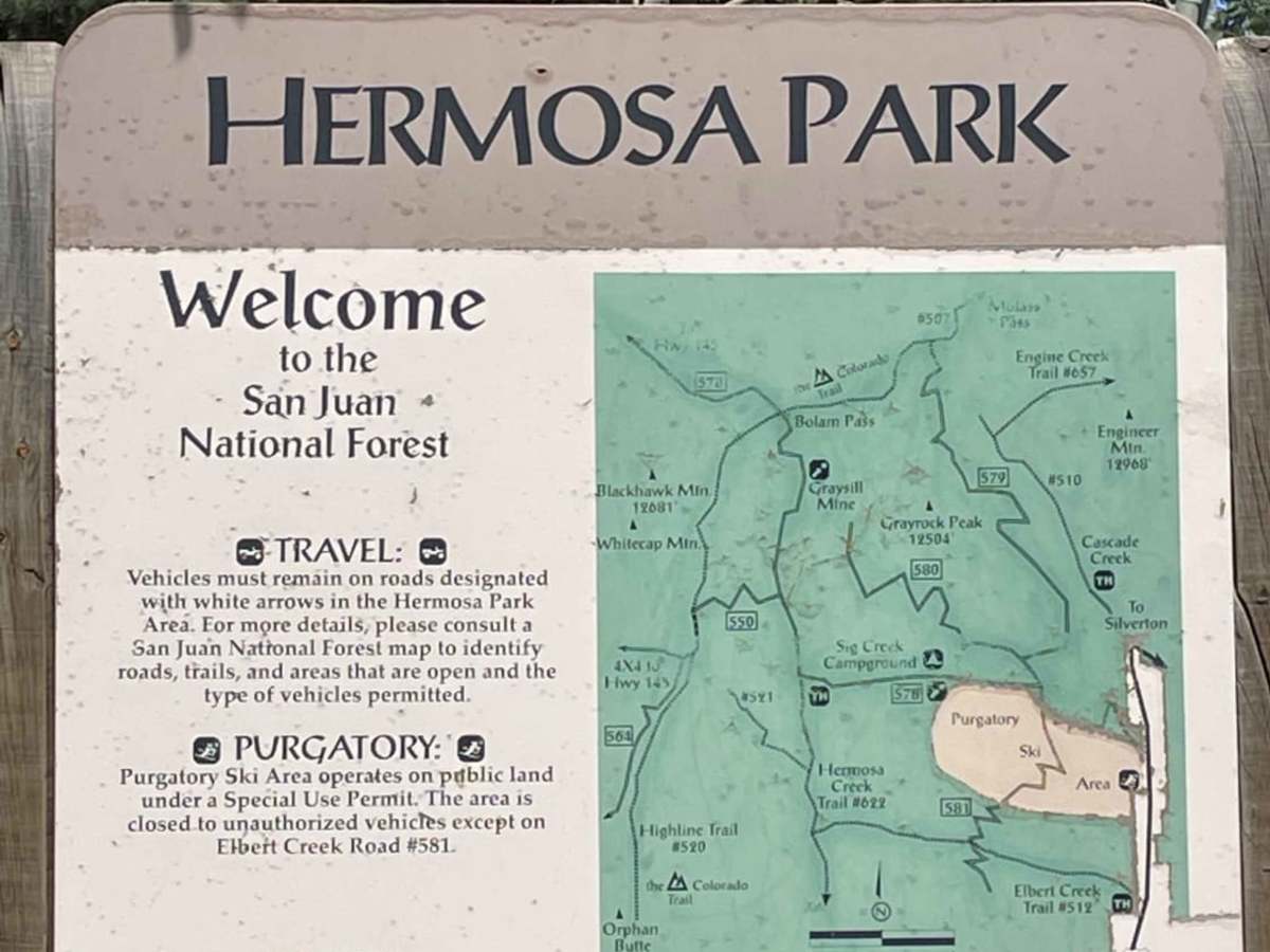
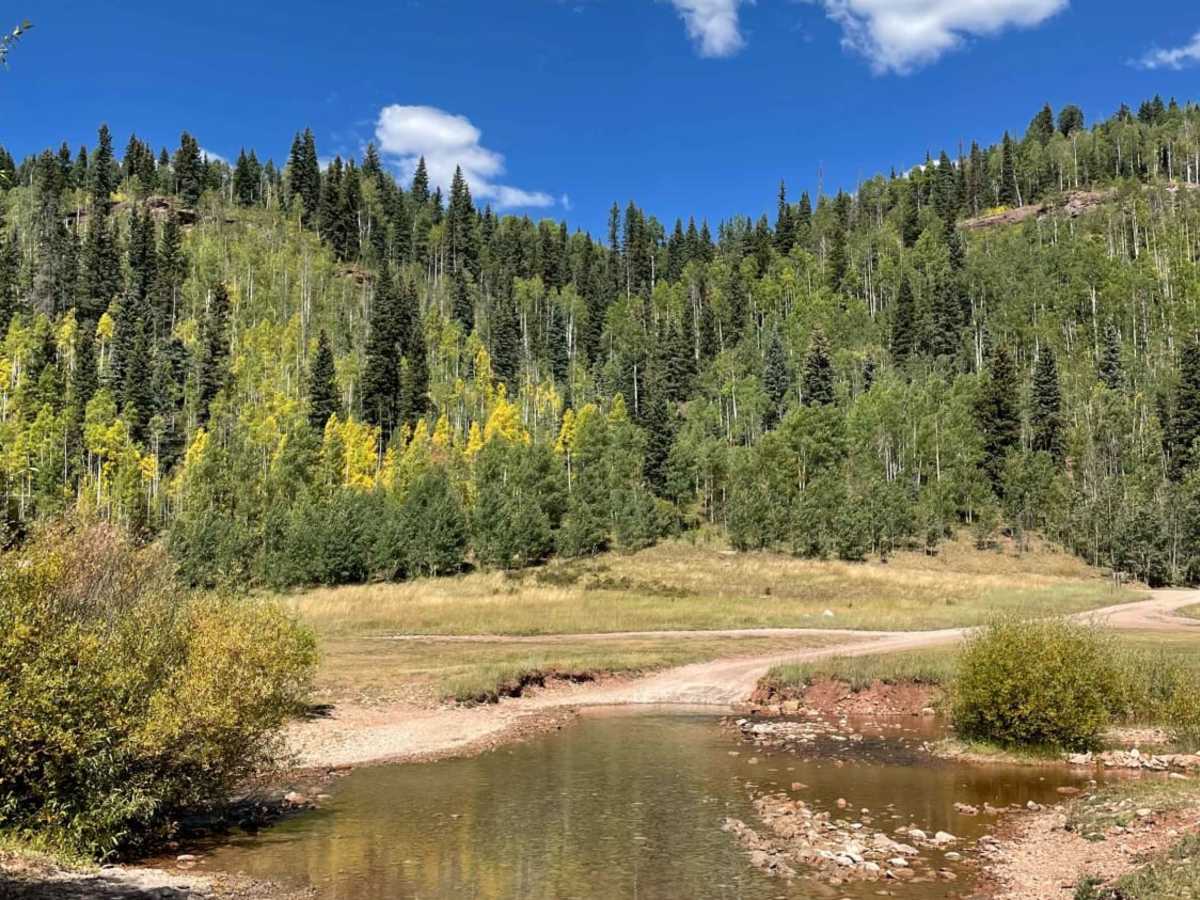
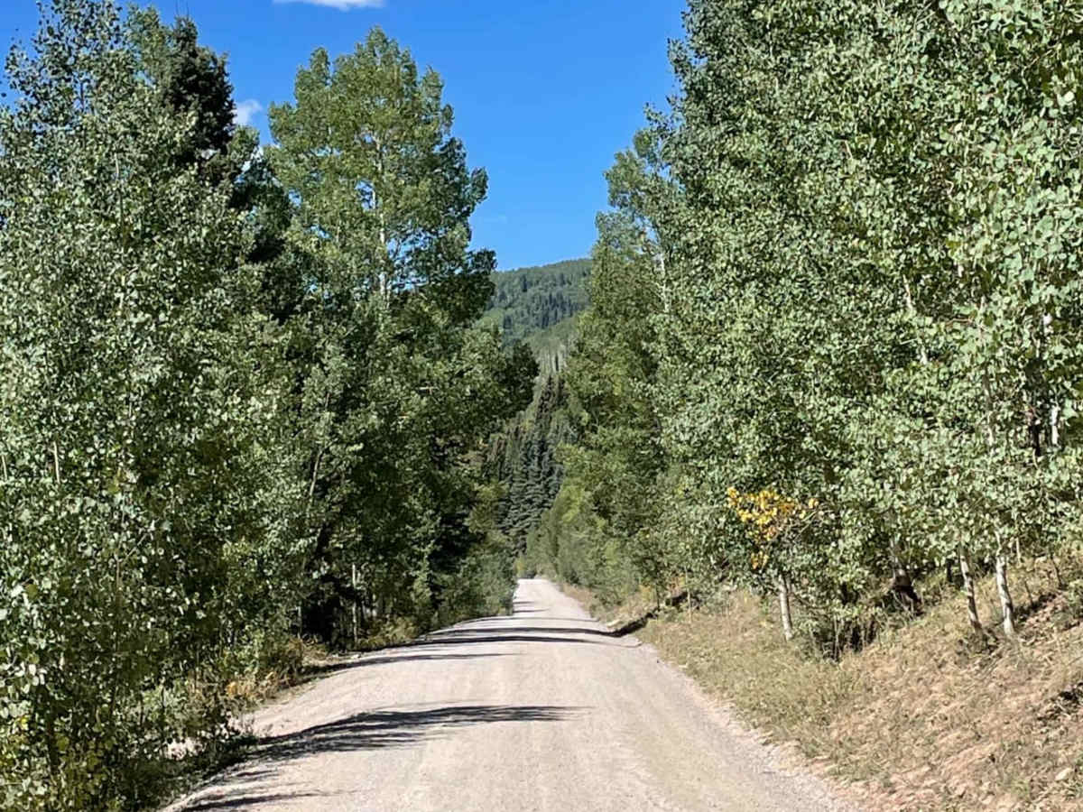
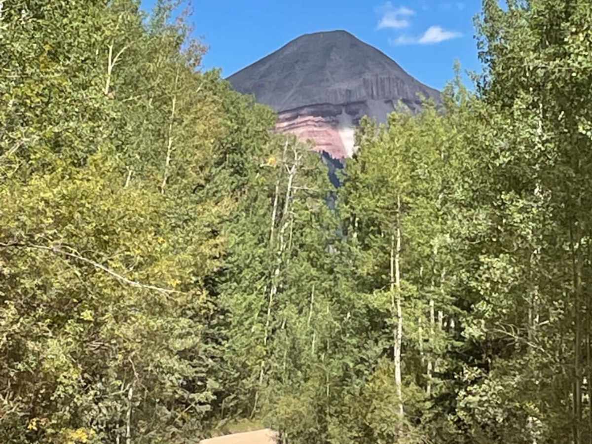
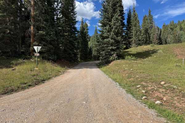
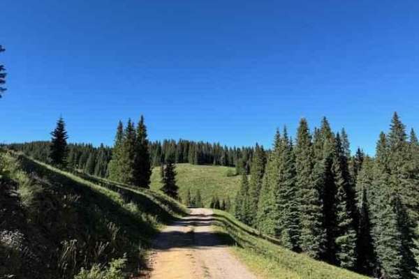
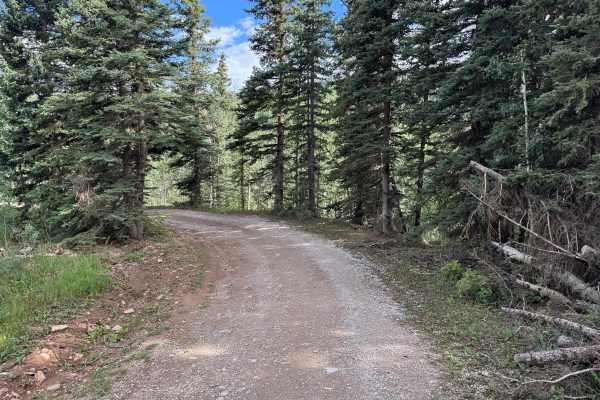
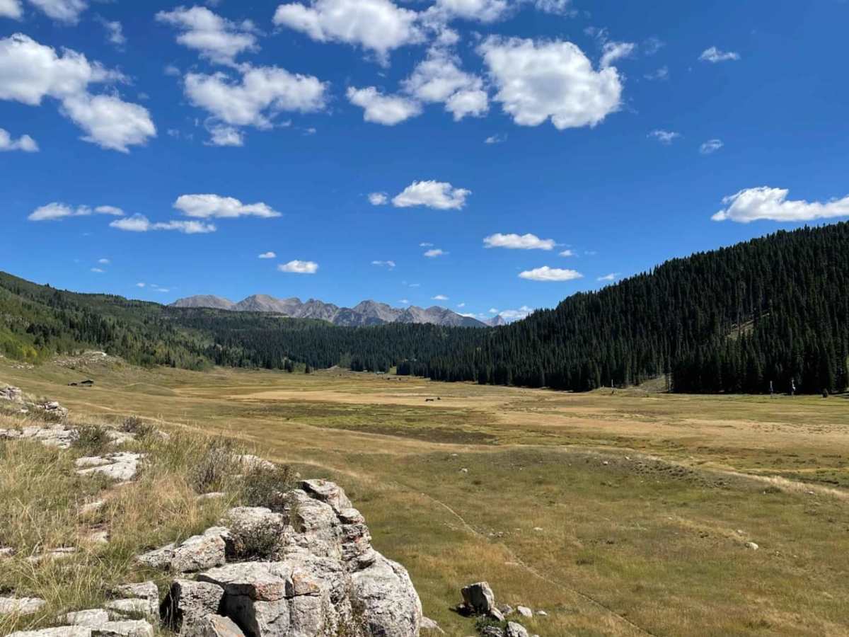
Hermosa Park Road (Forest Service Road 578) is an accessible, scenic point-to-point route ideal for beginners, families, and overland travelers looking for stunning alpine views without technical driving challenges. Spanning approximately 8.5 miles from near Purgatory Resort, this well-maintained gravel road climbs from an elevation of 8,835 feet to a peak of 9,840 feet, gaining about 923 feet along the way. The route begins with a series of narrow, dusty switchbacks as it climbs through the pine forests before descending into a sweeping, lush mountain valley. Here, drivers are treated to spectacular, unobstructed views of North Twilight Peak and the surrounding San Juan Mountains. With a difficulty rating of 1, this road is suitable for almost any vehicle, including passenger cars, stock sports utility vehicles, side-by-sides (SxSs), and high-clearance four-wheel-drive vehicles. At the western end of the valley, Sig Creek Campground provides popular dispersed camping sites, while additional pull-off spots can be found along Sig Creek for those seeking more privacy. The road is typically open from late spring through late autumn, depending on snowpack, making summer and early fall the best times to experience the vibrant wildflowers or changing aspen leaves. This route serves as a perfect gateway to more rugged trails in the San Juan National Forest, offering a smooth but highly rewarding mountain drive.

Photos of Hermosa Park

Difficulty

Very well maintained gravel road

Technical Rating

1

Status Reports

Add Status Report
David Lee
Aug 18, 2026
2023 Toyota 4Runner
Open
Dusty
Nice gravel road with some washboarding. Several big dump trucks forced us over to side of road to let them pass due to some sort of construction going on.
Ken Artice
Oct 25, 2025
Open
DustyRough/Deteriorated
Cody Phillips
Aug 02, 2025
Open
NormalDusty
Easy dusty road through the mountains. Lots of traffic!
Eduardo Del
Jul 26, 2025
2022 Toyota 4Runner
Open
NormalDusty
Really fun and trail, everyone mentions the switchbacks and I thought they would be worse than they actually were. River crossing was doable even for my parents stock GMC Canyon
Travis Reeves
Jul 11, 2025
2019 RAM 1500
Open
NormalDusty
Trail is open. We took it all the way to CO145. Downed trees have been cut away. Highly recommend it!!
Marc Kade
May 29, 2025
Open
Normal
Hermosa and up Hotel Draw… open and dry.
Benjamin Carrier
May 03, 2025
2010 Subaru Outback
Temporarily Closed
Closed Gate
Gate at the very bottom by purg is closed! Very disappointed because on the FS website it says it should be open May 1st…who knows.
David Lee
Sep 18, 2024
Open
Normal
Cassie Maier
Sep 10, 2024
2022 BMW R1250GS
Temporarily Closed
Closed GatePosted Sign
Adam Parish
Aug 30, 2024
Temporarily Closed
Closed GatePosted SignTrail Restoration
Addi peze
Aug 22, 2024
Temporarily Closed
Closed GateWeather Event
Patrick McCollum
Aug 18, 2024
2023 Jeep Wrangler
Open
Normal
Easy trail for 4x4 although i saw passenger cars. Aired down my tires and make it very comfortable. The road will be closed Aug 18 opening September 13th. The sign was misleading, but I got lucky it was open on the last day.
Gavin Kwait
Aug 11, 2024
2006 Dodge RAM
Temporarily Closed
John Killmore
Jul 21, 2023
Open
NormalWashboard
Sam L
Jul 10, 2023
Open
DustyMuddy/WetSnow/IceRough/DeterioratedWashboard

Hermosa Park Trail can be accessed by the following ride types:

  • Single Track
  • 60 Inch
  • High Clearance
  • Full Width

Access Description

Hermosa Park Road is managed by the US Forest Service within the San Juan National Forest. There are no fees or permits required to access the road or the dispersed campsites at Sig Creek Campground. The road is closed seasonally in the winter and spring, typically opening in late May or June and closing by late November depending on snow accumulation.

Hermosa Park Map

The onX Offroad Difference

onX Offroad combines trail photos, descriptions, difficulty ratings, width restrictions, seasonality, and more in a user-friendly interface. Available on all devices, with offline access and full compatibility with CarPlay and Android Auto. Discover what you're missing today!

Open Trail Map