Trail Overview
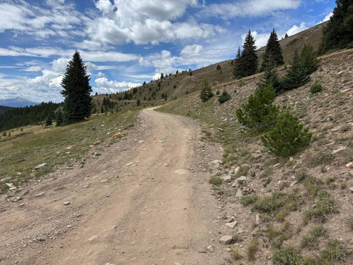
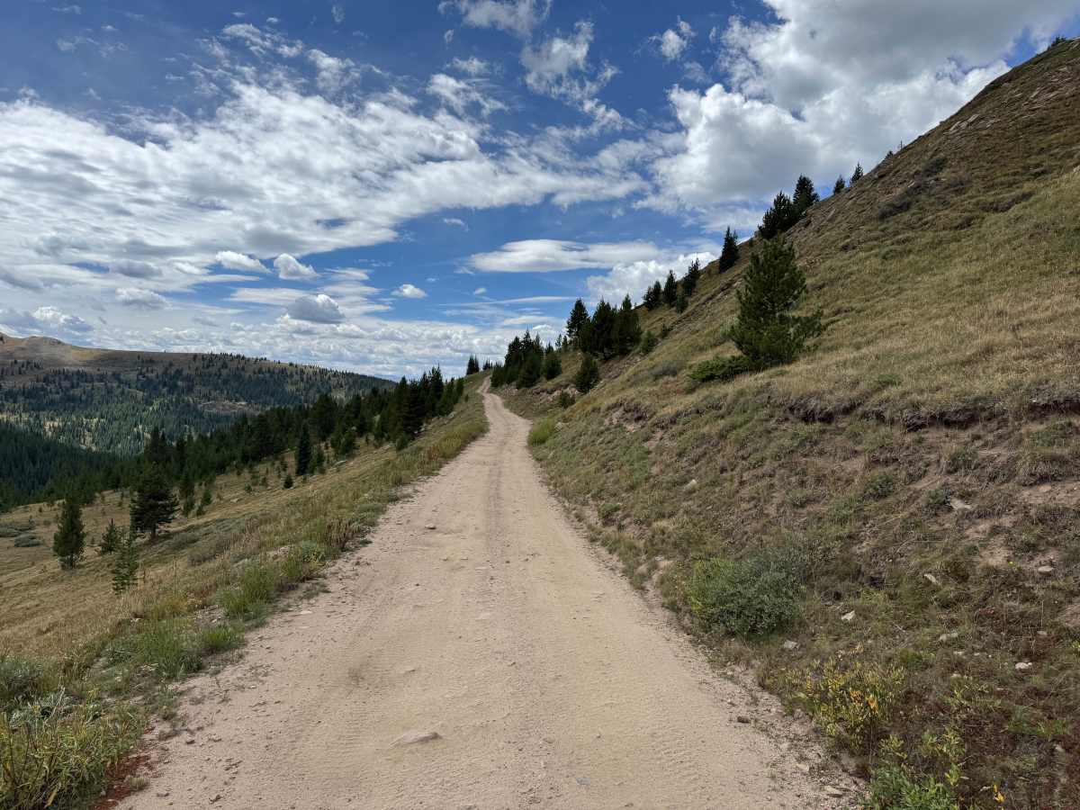
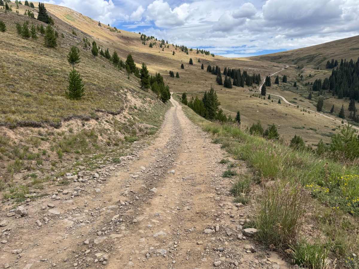
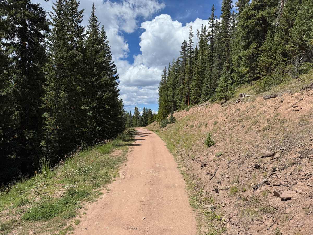
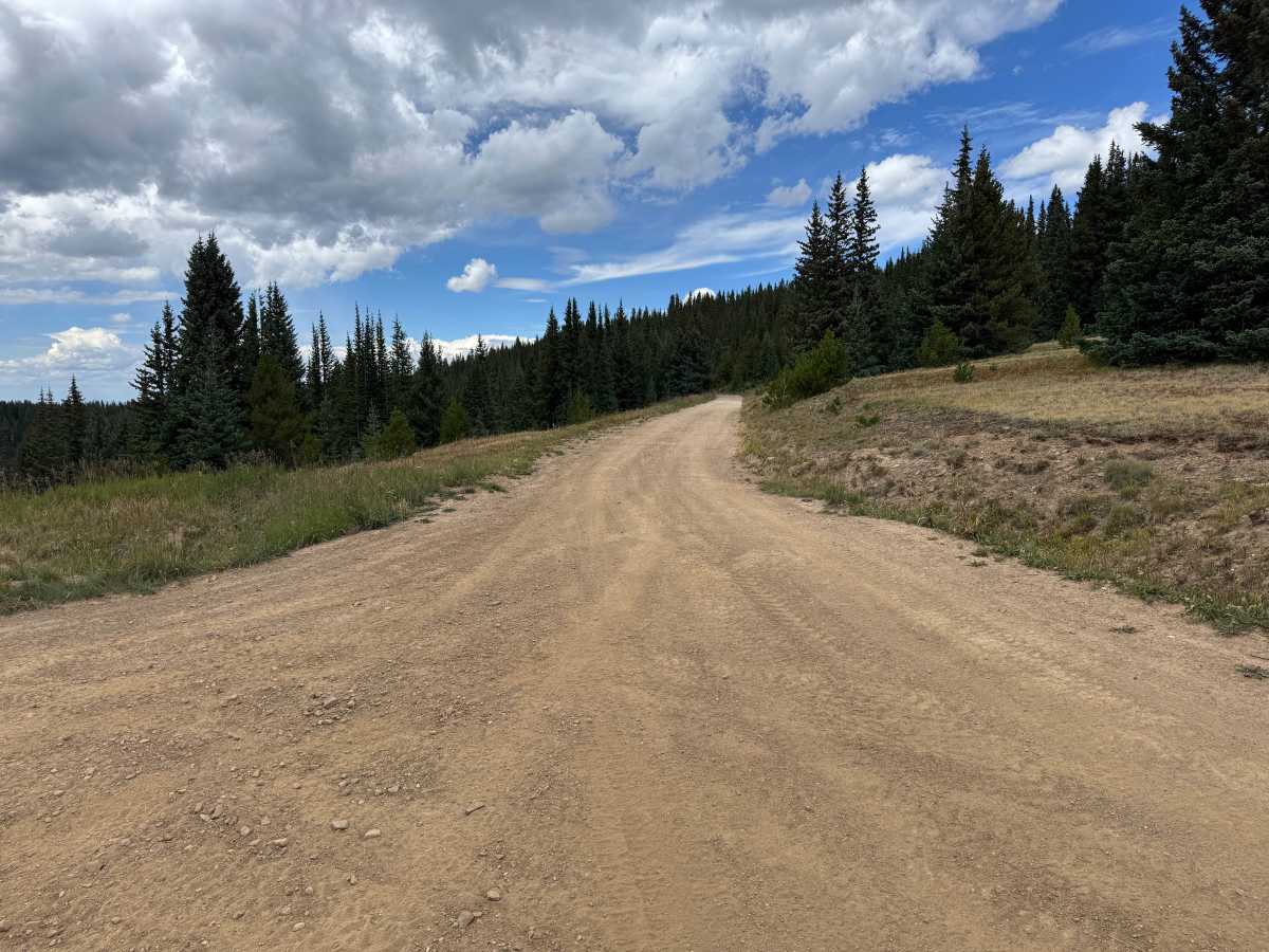
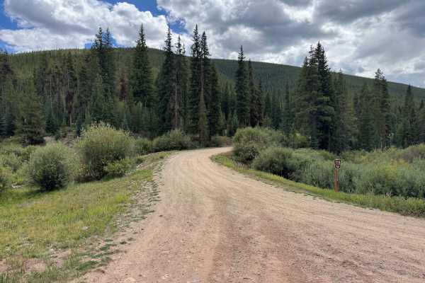
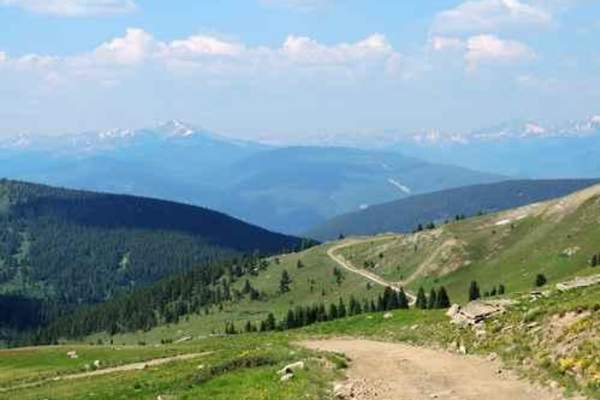
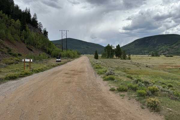
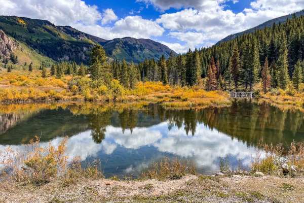
This out-and-back route branches from Ptarmigan Pass and follows a mostly mild dirt road through the White River National Forest. The surface varies from relatively smooth, hard-packed dirt to rougher sections with loose and embedded rocks, along with occasional whoops, dips, and potholes. A steep grade immediately off Ptarmigan Pass must be traveled both going into and returning from the route. The road traverses open mountainsides and high-elevation meadows before passing through sections of dense evergreen forest, with expansive views across the surrounding valleys and mountains. Much of the route remains wide and straightforward, although the rockier sections and steeper grades require additional attention. The route eventually ends at a closed gate where the road continues as a designated snowmobile route during the winter months. From this route, visitors can also access the 10th Mountain Division Hut Association’s Fowler-Hilliard Hut if they want to continue their adventure on foot.
Difficulty
The route consists primarily of hard-packed dirt with occasional loose and embedded rocks, whoops, dips, and potholes. Steeper grades near Ptarmigan Pass increase the difficulty slightly, particularly when descending, but there are no major technical obstacles and careful tire placement is generally not required.
History
This area has a diverse history tied to mining, railroads, early transportation routes, and military training. Red Cliff developed during Colorado's mining era, while railroads and mountain roads were constructed through the surrounding valleys and passes to connect mining communities. Camp Hale was established during World War II as the training center for the U.S. Army's 10th Mountain Division, whose soldiers trained in the area's rugged winter mountain terrain before fighting in Europe. Remnants of mining, railroad, transportation, and military history can still be found throughout the surrounding mountains and valleys.

 Offroad