Trail Overview
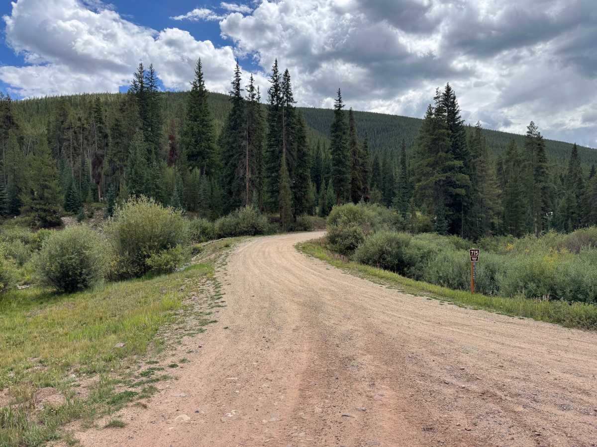
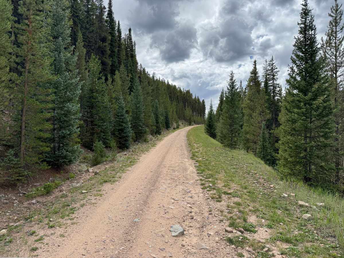
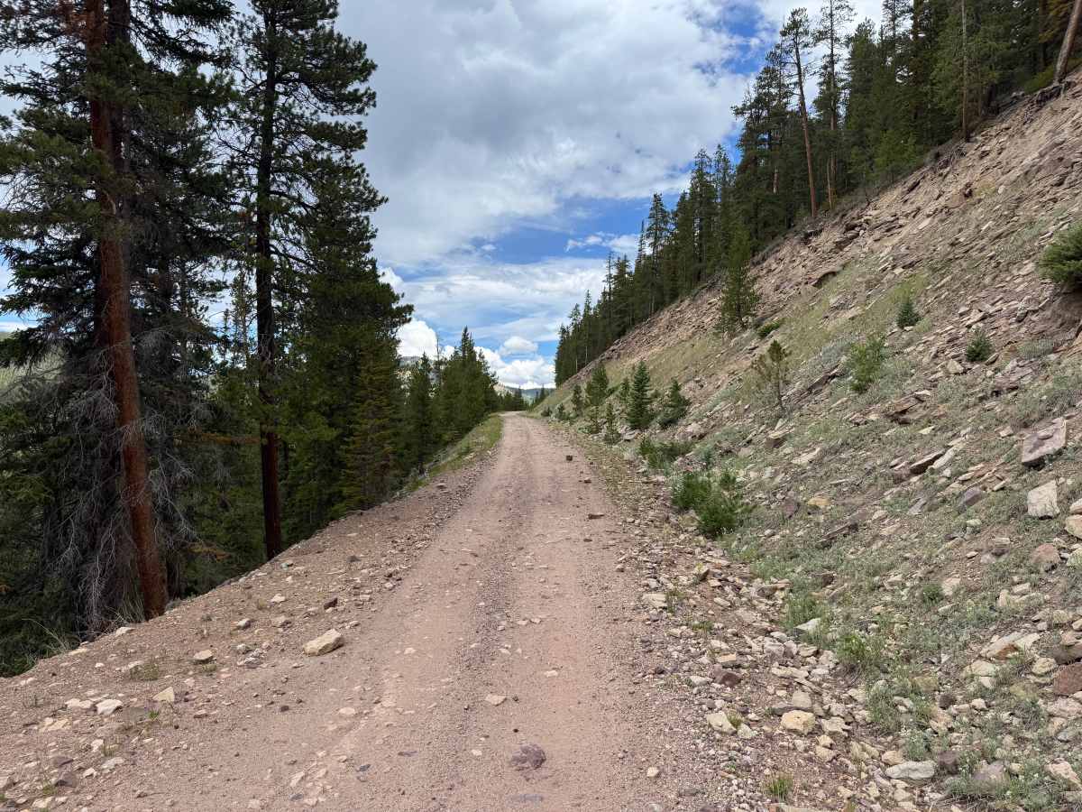
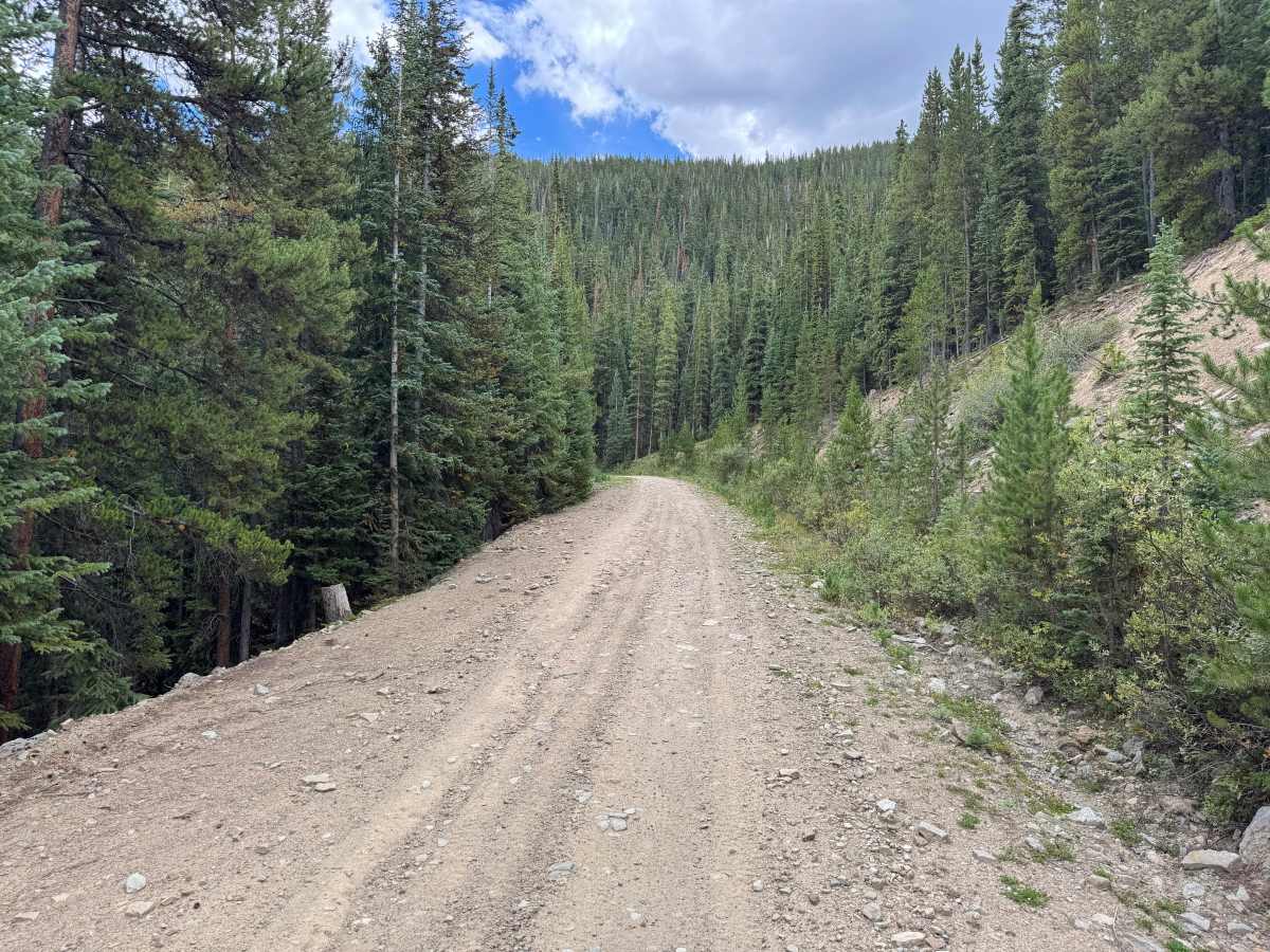
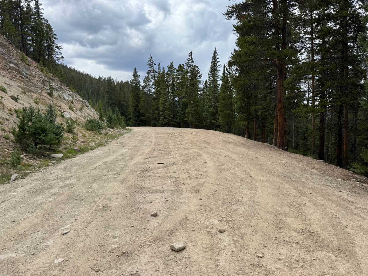
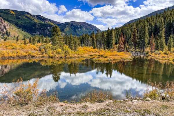
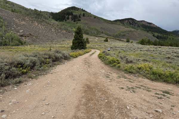
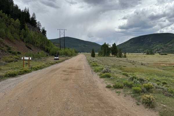
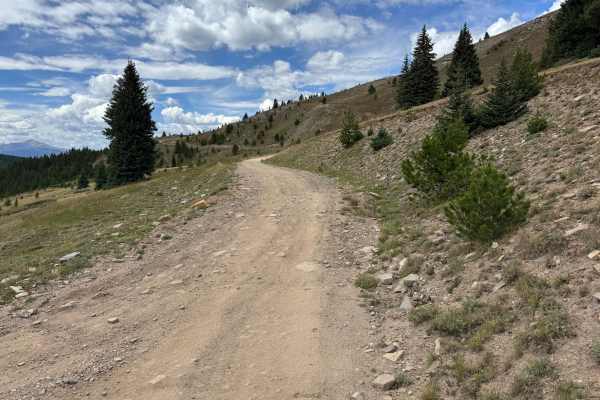
This is an out-and-back route traveling through a heavily forested section of the White River National Forest. The surface is primarily maintained dirt and gravel, with scattered loose and embedded rocks becoming more common in a few sections. Expect occasional whoops, dips, and potholes along the way, but there are no major obstacles or technical sections. The road varies from roughly one to two vehicles wide, with some narrower stretches along hillsides and wider areas that allow vehicles to pass. Dense stands of pine, fir, and spruce surround much of the route, with occasional openings and rocky hillsides breaking up the forest. Several dispersed campsites can be found along the route. The trail ends at a very large turnaround area, providing plenty of room to turn around before returning the way you came.
Difficulty
The route consists primarily of maintained dirt and gravel with scattered loose and embedded rocks, occasional whoops, dips, and potholes. There are no major obstacles or technical sections, and the road generally provides a straightforward drive despite some narrower sections and minor surface irregularities.
History
This area has a diverse history tied to mining, railroads, early transportation routes, and military training. Red Cliff developed during Colorado's mining era, while railroads and mountain roads were constructed through the surrounding valleys and passes to connect mining communities. Camp Hale was established during World War II as the training center for the U.S. Army's 10th Mountain Division, whose soldiers trained in the area's rugged winter mountain terrain before fighting in Europe. Remnants of mining, railroad, transportation, and military history can still be found throughout the surrounding mountains and valleys.