Trail Overview
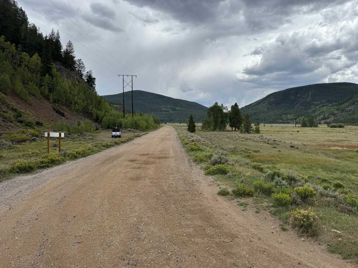
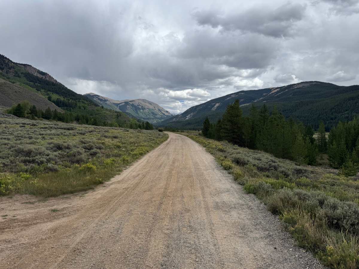
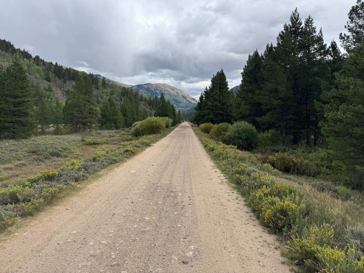
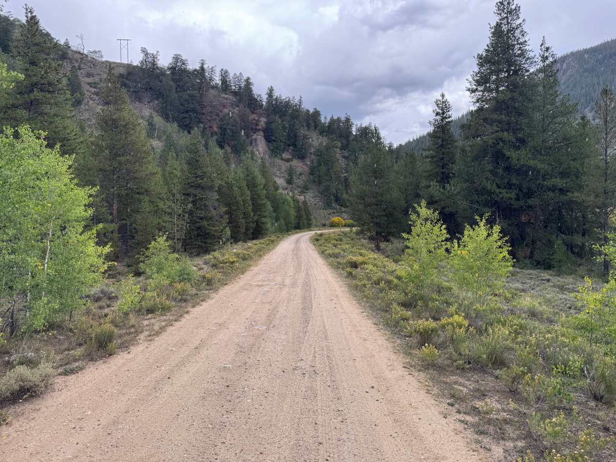
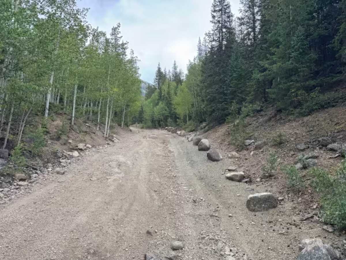
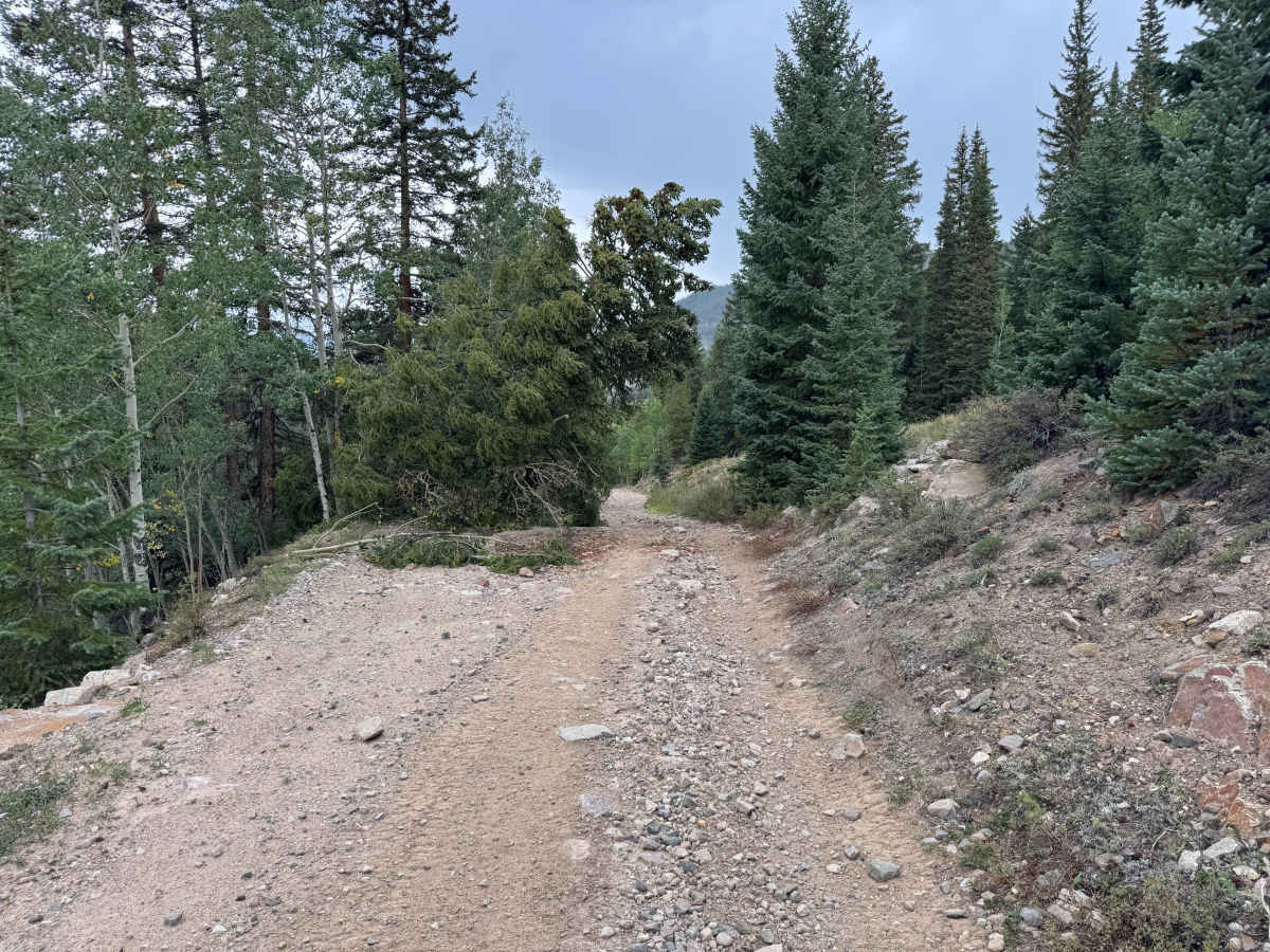
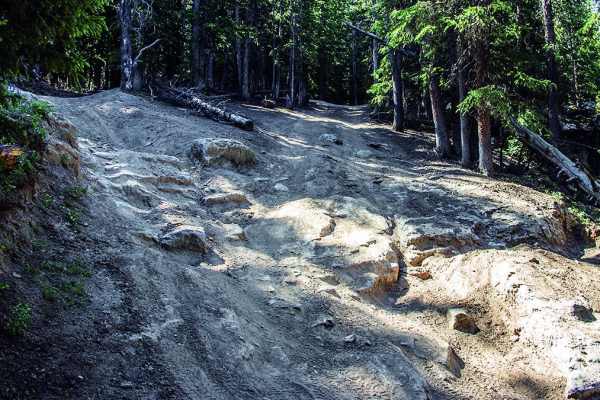
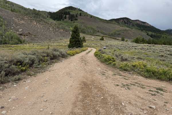
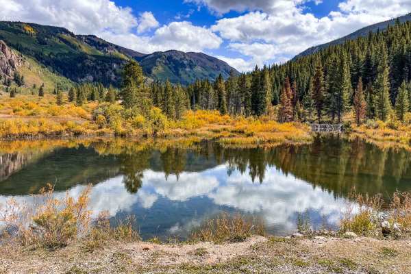
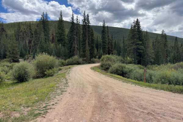
East Fork Eagle River travels from the historic Camp Hale area into the mountains through a landscape that changes considerably along the way. Near Camp Hale, the route is a wide and maintained gravel road surrounded by open meadows, sagebrush, low vegetation, and views across the broad valley. As you travel farther into the mountains, aspens and evergreens become increasingly dense, and the road begins climbing through narrower terrain. The surface also becomes progressively rougher, transitioning from relatively smooth gravel to loose and embedded rocks, erosion, and uneven rocky sections. Farther up the route, the terrain becomes substantially more challenging, with rocky sections where careful tire placement may be needed. The route eventually reaches the upper valley and ends at a locked gate near the Climax Mine property. Dispersed camping opportunities can be found after leaving the Camp Hale portion of the route.
Difficulty
The route begins as a wide, maintained gravel road with a relatively smooth surface before gradually becoming steeper and rougher. Expect loose and embedded rocks, minor erosion, uneven terrain, and increasingly rocky sections farther up the route. The most challenging areas require careful tire placement around larger rocks and through rougher sections, but there are no major technical obstacles.
History
This area has a diverse history tied to mining, railroads, early transportation routes, and military training. Red Cliff developed during Colorado's mining era, while railroads and mountain roads were constructed through the surrounding valleys and passes to connect mining communities. Camp Hale was established during World War II as the training center for the U.S. Army's 10th Mountain Division, whose soldiers trained in the area's rugged winter mountain terrain before fighting in Europe. Remnants of mining, railroad, transportation, and military history can still be found throughout the surrounding mountains and valleys.