Trail Overview
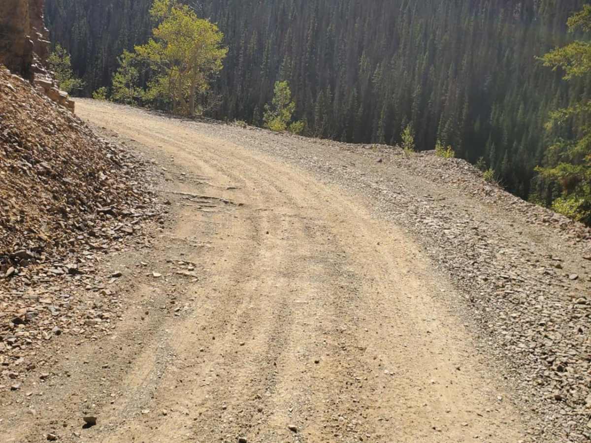
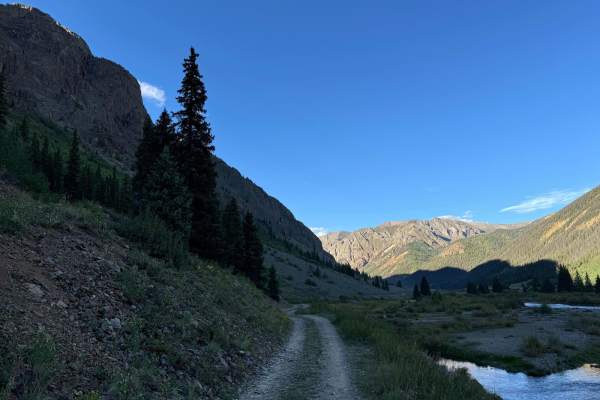
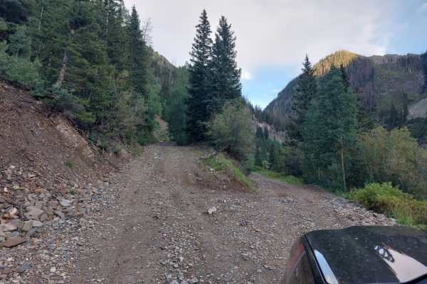
Minnie Gulch is a scenic 2.9-mile route climbing into the high alpine terrain of the San Juan Mountains near Silverton. Starting from County Road 2, the trail ascends from 9,830 feet to 11,621 feet, passing historic late-19th-century mining ruins. This well-maintained route is suitable for stock SUVs and high-clearance four-wheel-drive vehicles.
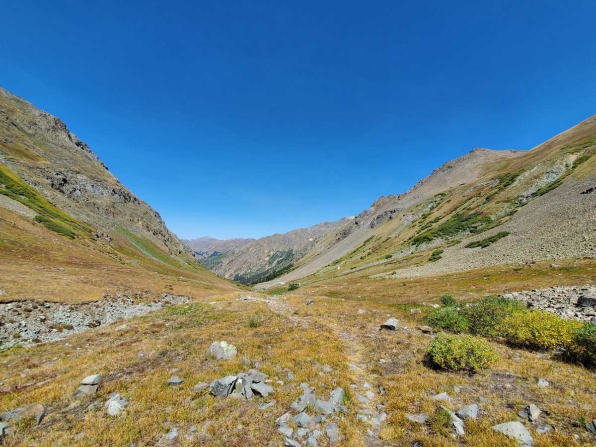
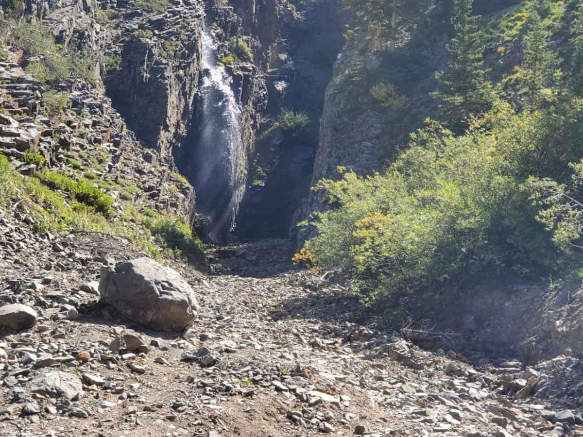
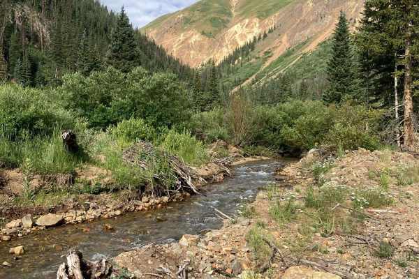
The trail features a water crossing below a waterfall, which runs deep during the spring snowmelt but is easily managed later in summer. The route ends in the alpine tundra at a hiking trailhead. Due to snow, the trail is seasonally open from early summer through October.
History
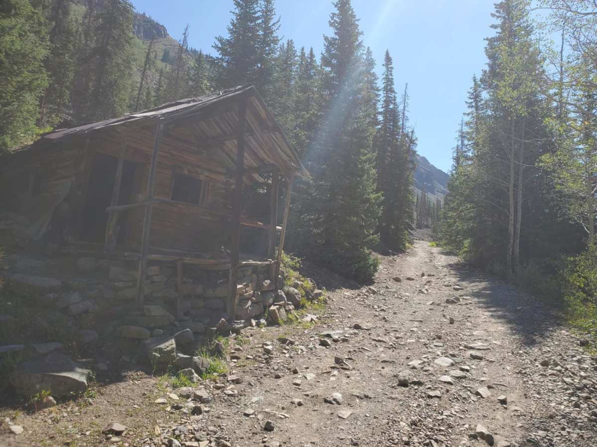
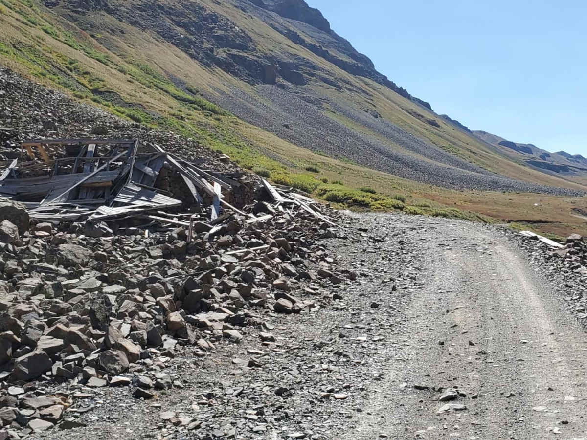
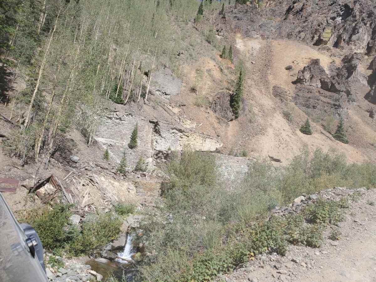
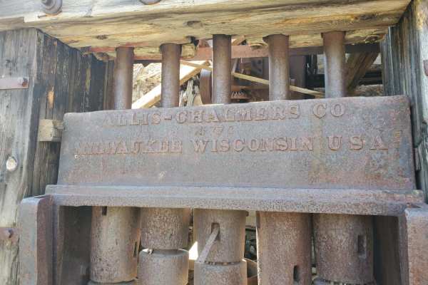
Minnie Gulch was a bustling mining area during the San Juan silver and gold rush of the late 19th and early 20th centuries. Remnants of historic mining operations, including the Esmeralda Mine and the Kittimack Mine and mill, can still be spotted along the trail. These ruins stand as fragile monuments to the hardy miners who extracted precious metals under extreme alpine conditions.
Access Description
Minnie Gulch is located on public land within the San Juan National Forest. There are no fees or permits required to access the trail, but off-highway vehicles (OHVs) must be registered with a valid Colorado state OHV permit. Standard highway-legal vehicles do not need a special permit. The trail is seasonally closed by snow during the winter and spring months, typically opening in late June or early July and remaining accessible until the first major snows in October. Stay on designated routes to protect the sensitive high-alpine tundra environment.

 Offroad