Trail Overview
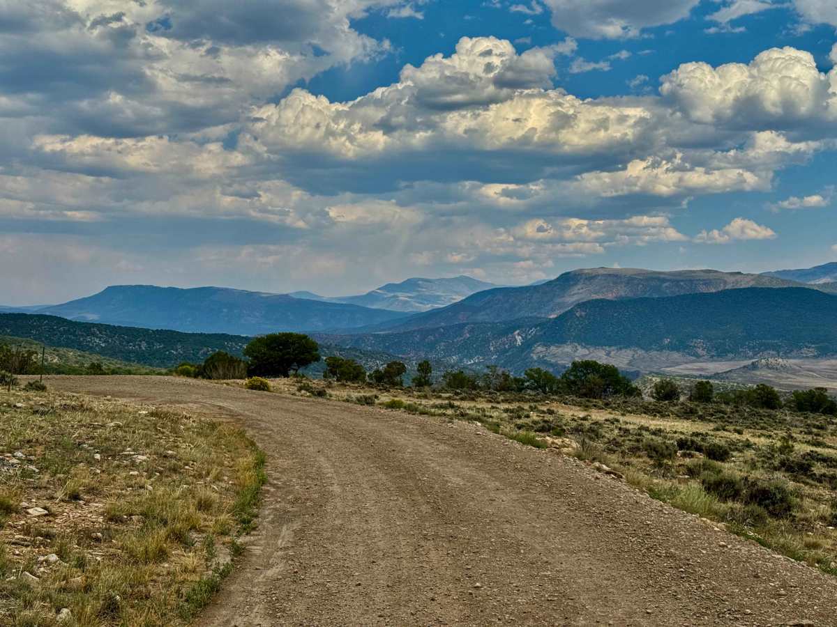
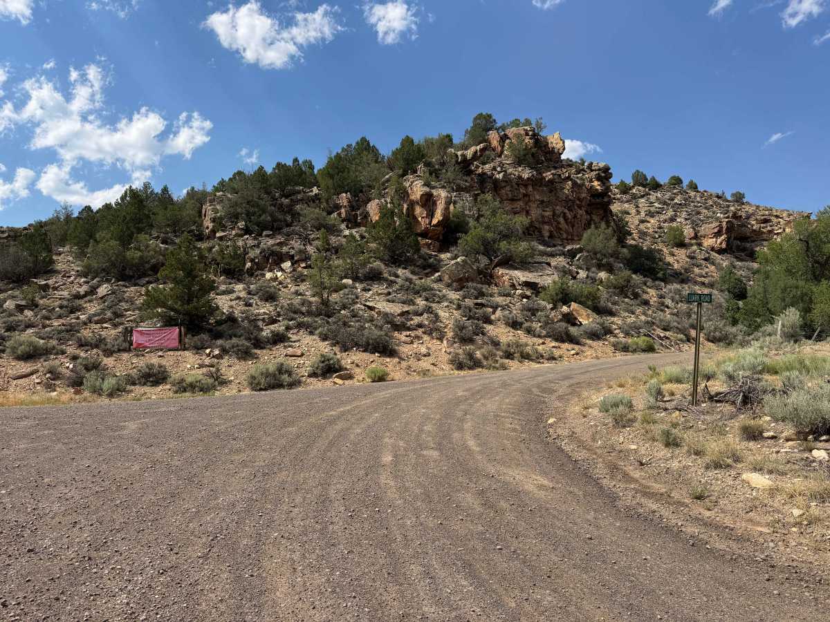
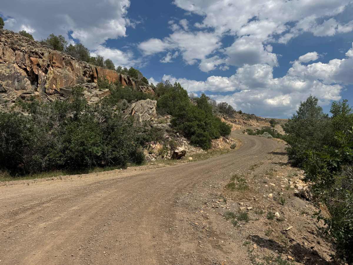
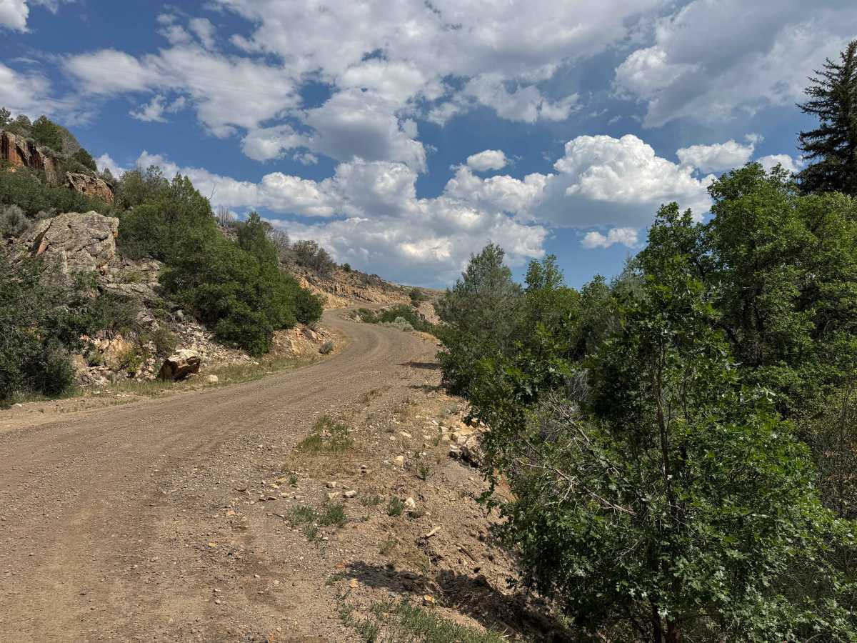
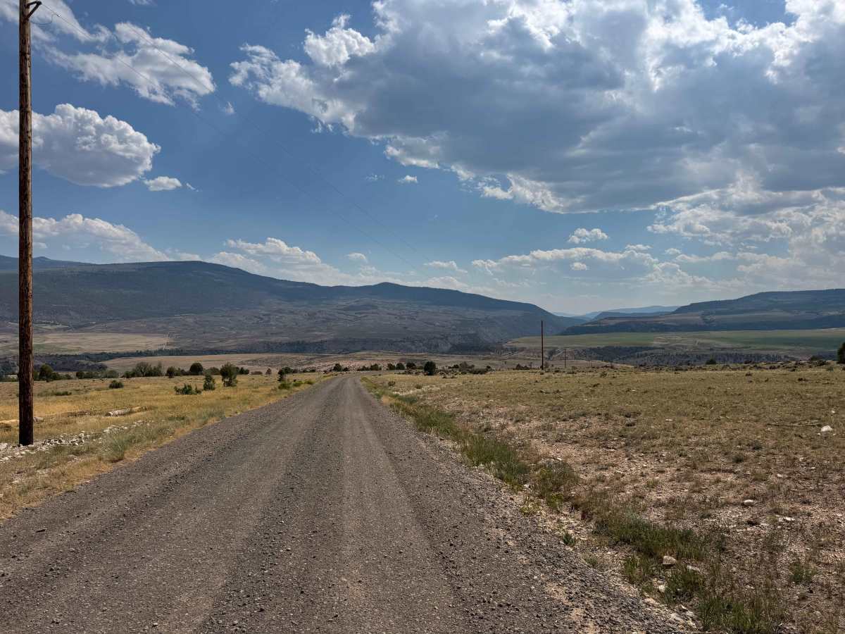
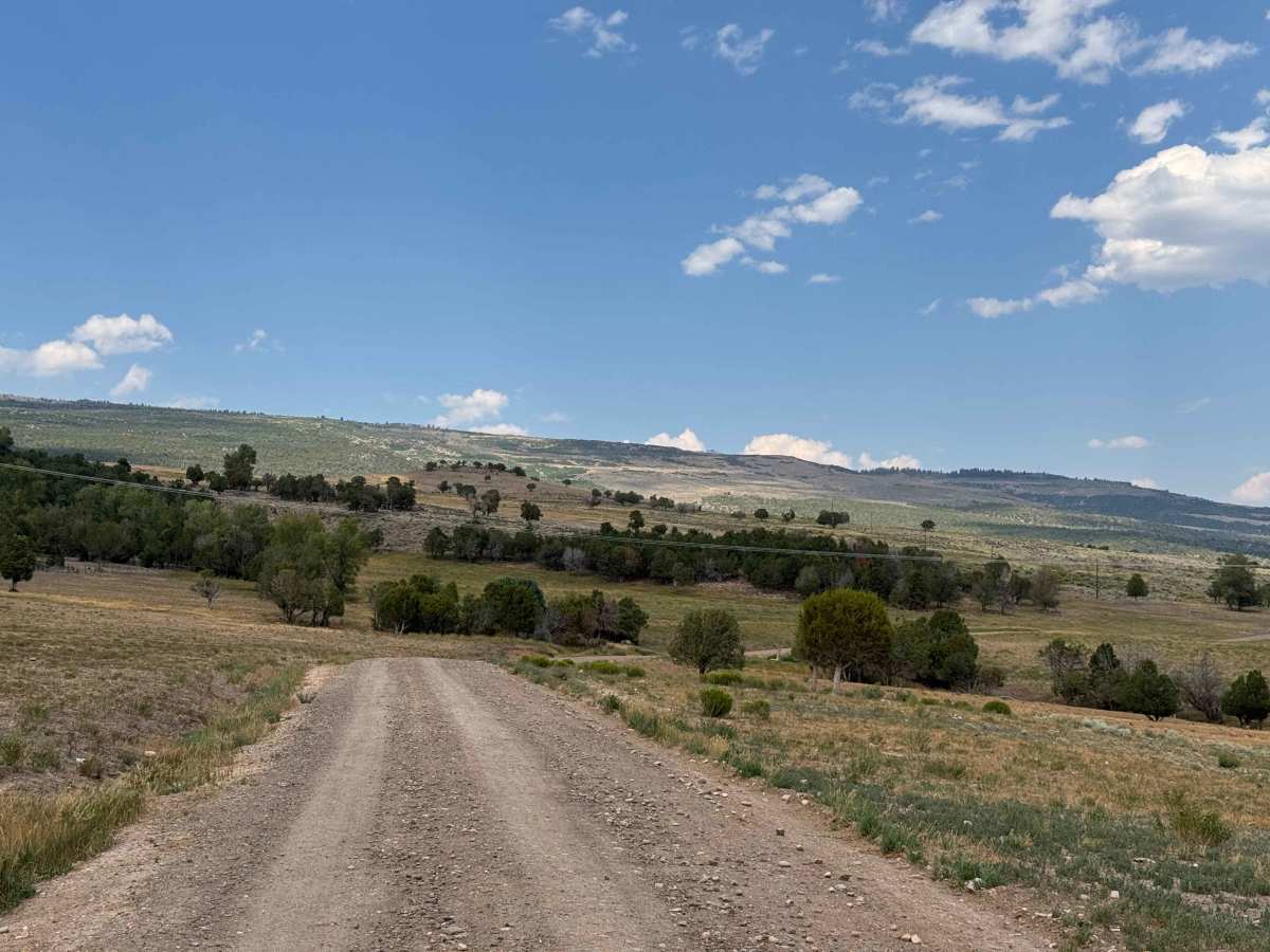
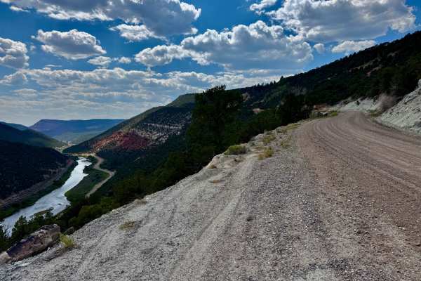
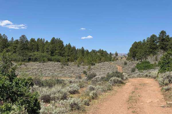
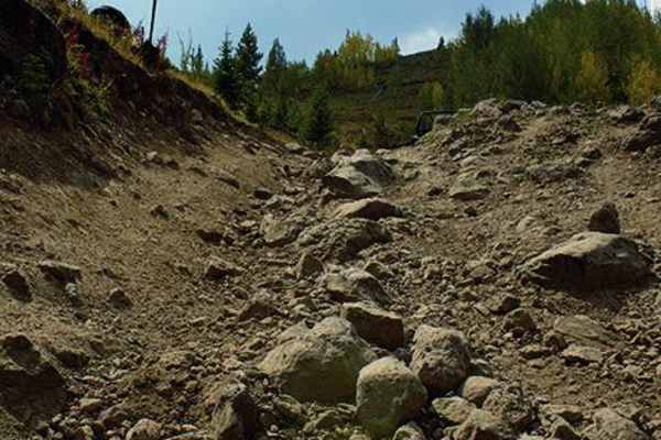
This well-maintained road serves primarily as access to the ranches at its end and is suitable for virtually any vehicle. The two-mile out-and-back route quickly climbs nearly 1,000 feet through a series of switchbacks before reaching the top of the mesa, where expansive views of the surrounding landscape await. While the drive itself is scenic, its primary appeal is providing access to the connecting BLM route, which offers additional opportunities for dispersed camping and exploration of the surrounding public lands. At the end of the mapped route, the road transitions onto private property that is clearly posted No Trespassing, marking the end of public access. A right turn onto the BLM road will lead you further into public land.
History
The Derby Creek area has a long history shaped by the Ute people, who hunted and traveled through the valley long before European settlement. By the late 1800s, ranchers established cattle operations along Derby Creek, relying on its dependable water supply for livestock and irrigation. Many of the BLM and Forest Service roads found today began as wagon routes connecting ranches with seasonal grazing allotments. Today, Derby Creek is known for its scenic beauty, abundant wildlife, and excellent opportunities for off-road recreation, camping, hunting, and exploring Colorado’s public lands.