Trail Overview
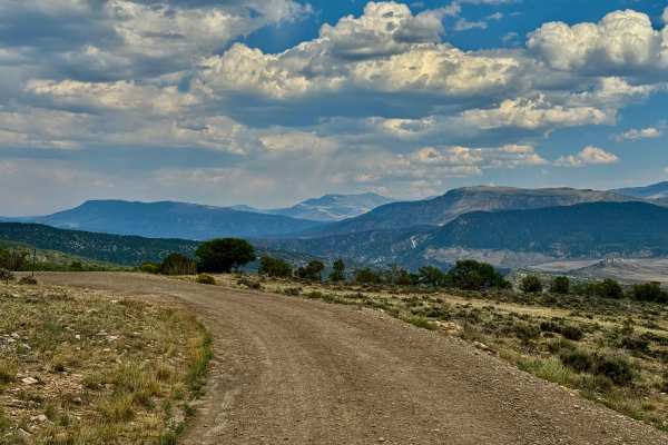
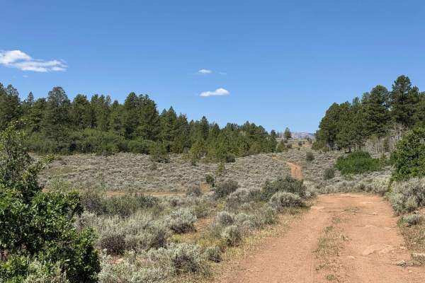
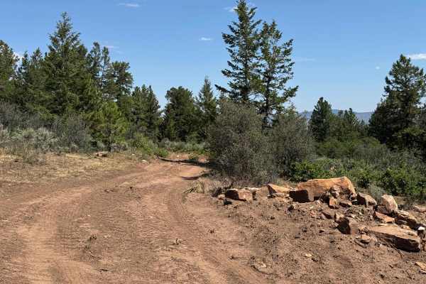
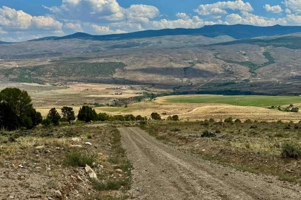
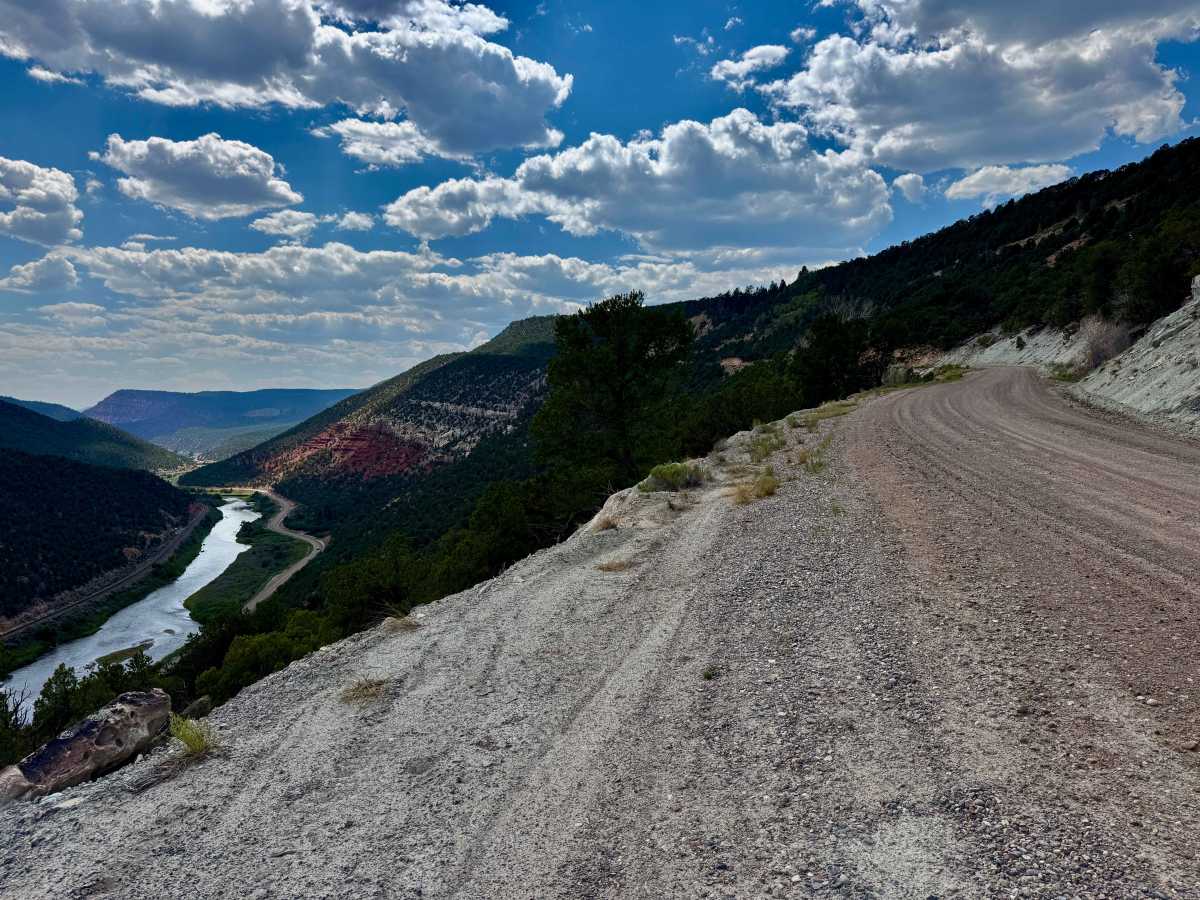
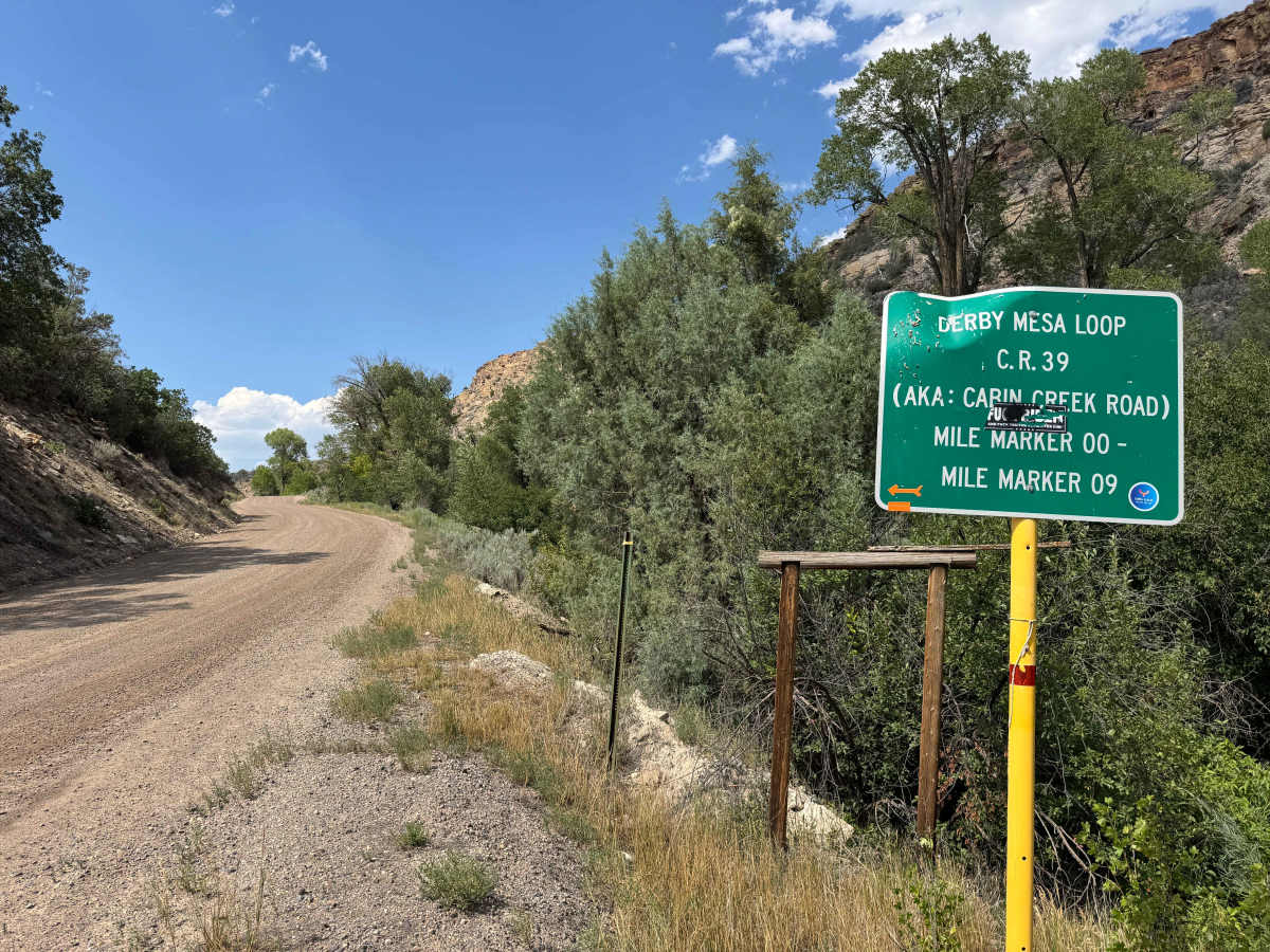
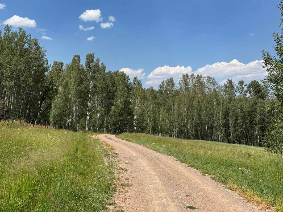
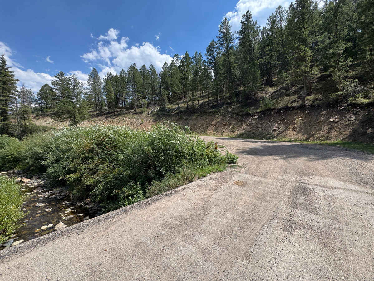
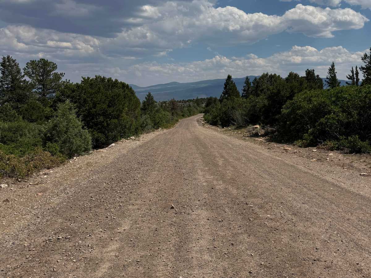
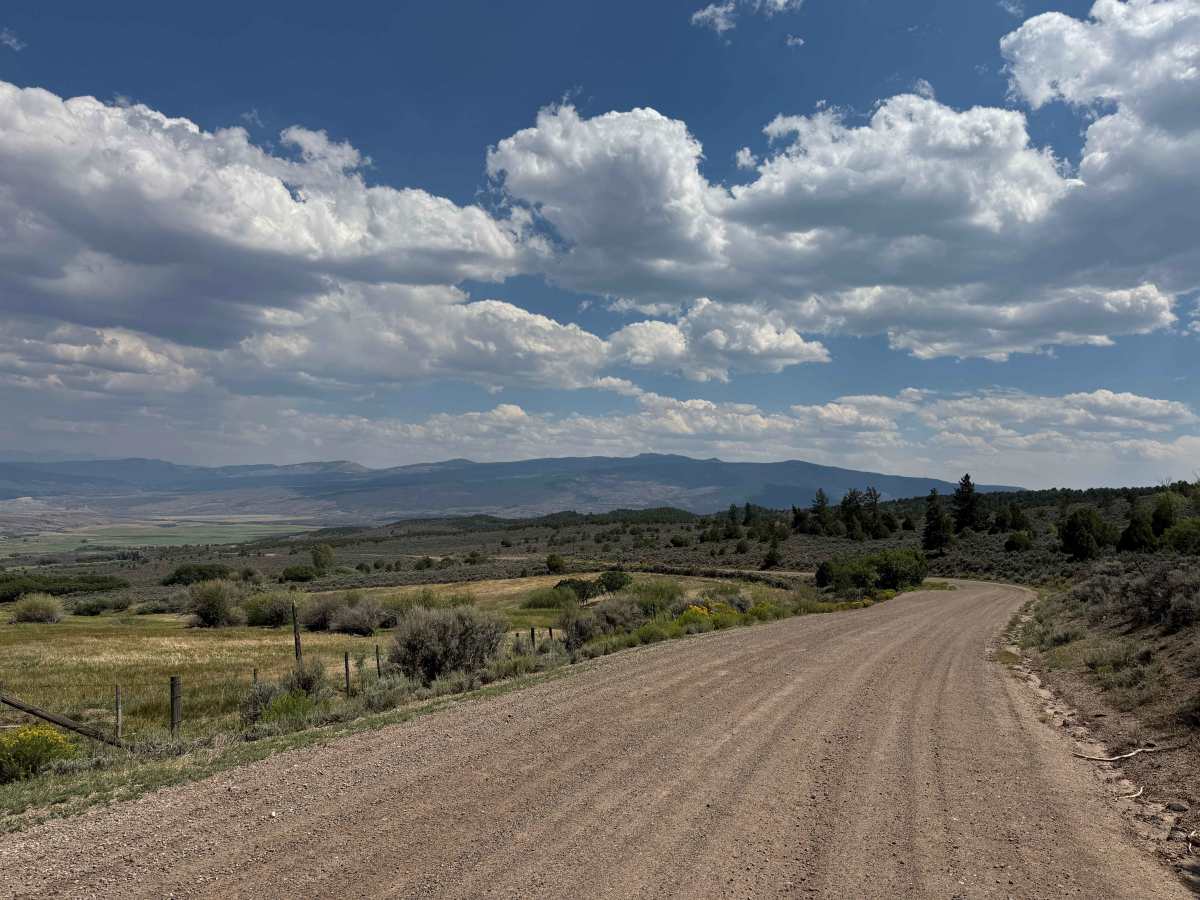
This scenic loop is a well-maintained route suitable for most vehicles with good ground clearance and offers an excellent introduction to the area’s public lands. Beginning from the south, the road quickly climbs high above the Colorado River, providing expansive views of the canyon and Highway 131 below. Along the route, you’ll find multiple access points to BLM land, the White River National Forest, and designated wilderness areas, as well as several staging areas for off-road adventures. Because this road also serves numerous working ranches, be mindful that much of the adjacent land is private property and respect all posted signs, as public travel is limited to the Forest Service easement. Continuing around the loop, the road gradually descends through picturesque ranch country before returning to Highway 131 several miles north of where the drive began.
History
The Derby Creek area has a long history shaped by the Ute people, who hunted and traveled through the valley long before European settlement. By the late 1800s, ranchers established cattle operations along Derby Creek, relying on its dependable water supply for livestock and irrigation. Many of the BLM and Forest Service roads found today began as wagon routes connecting ranches with seasonal grazing allotments. Today, Derby Creek is known for its scenic beauty, abundant wildlife, and excellent opportunities for off-road recreation, camping, hunting, and exploring Colorado’s public lands.