Left Hand Reservoir

Total Miles1.8
Technical Rating
3Easy
Best TimeSummer, Fall
Trail TypeHigh-Clearance 4x4 Trail
Accessible By
Open Trail Map

Trail Overview

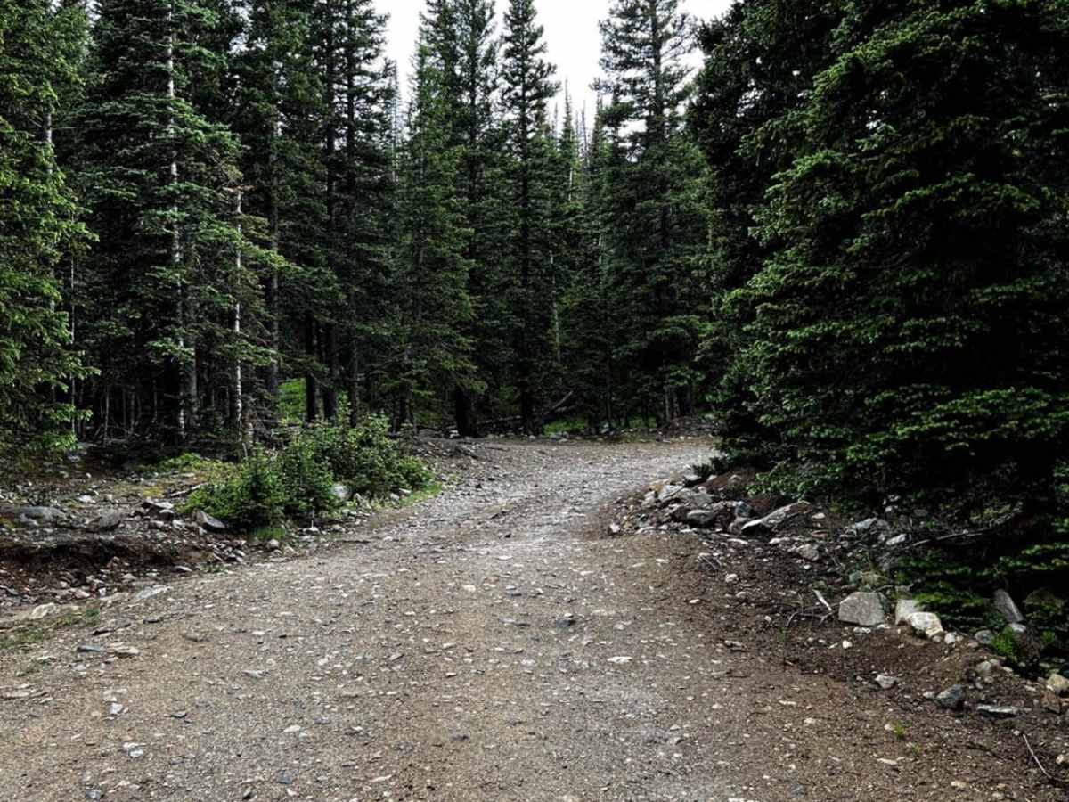
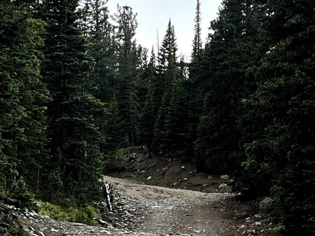
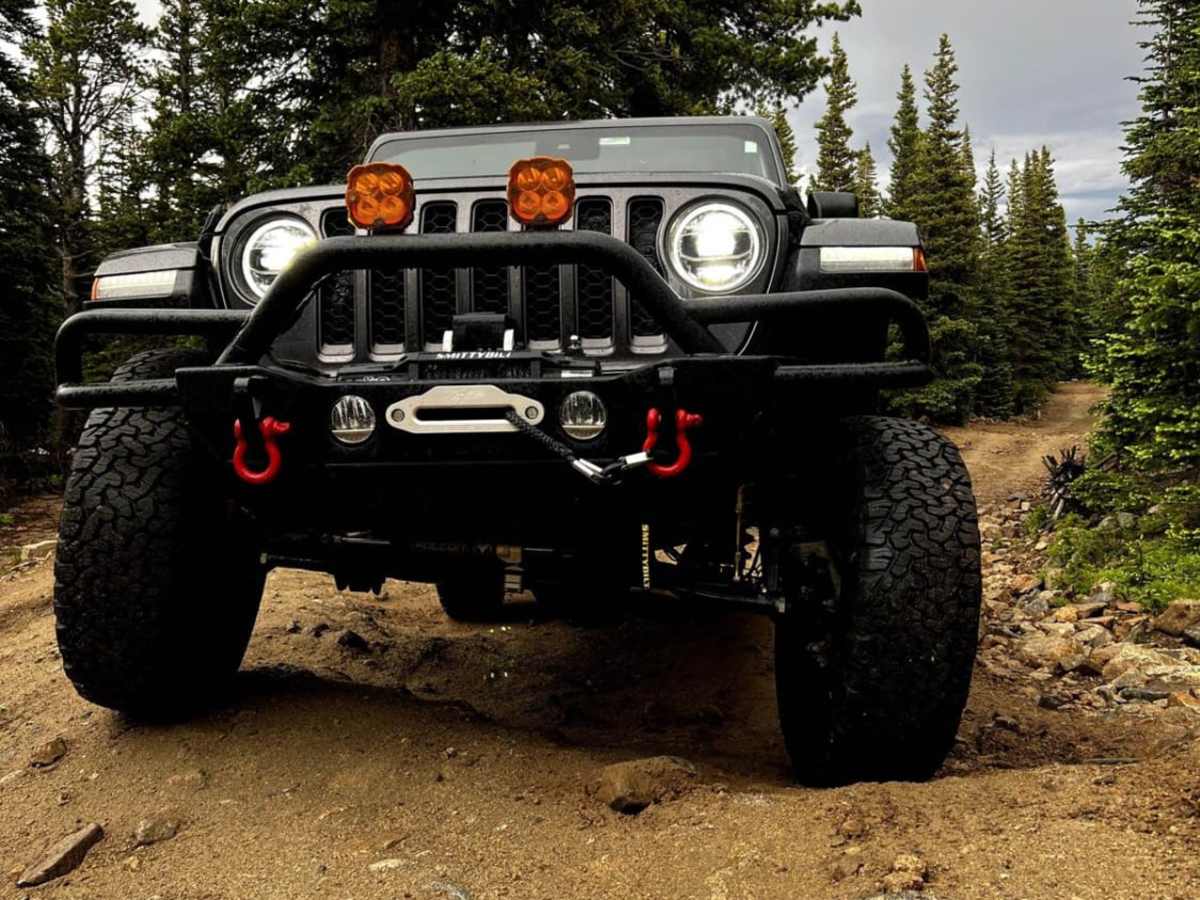
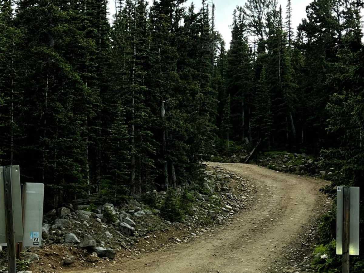
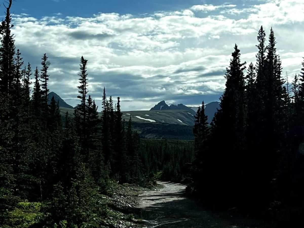
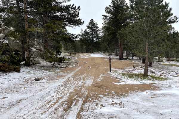
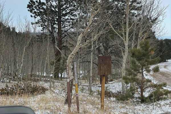
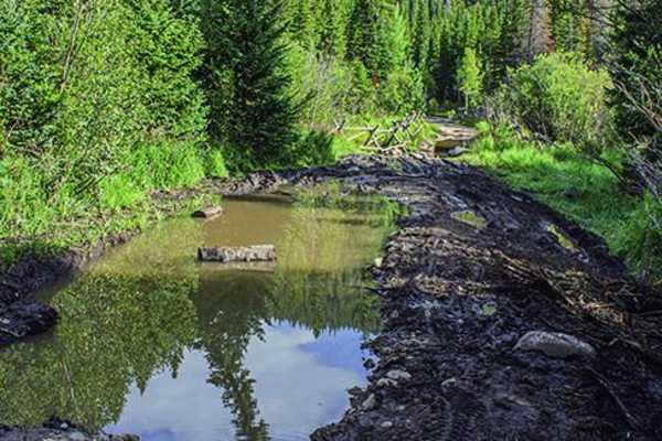
Left Hand Reservoir is a scenic, moderately challenging out-and-back trail near Ward, Colorado, perfect for off-roaders with high-clearance, four-wheel-drive vehicles looking to reach an alpine lake with excellent fishing. Spanning approximately 1.8 miles one-way, the route begins near Red Rock Lake at an elevation of 10,069 feet and climbs steadily to 10,668 feet at the edge of the reservoir. The primary surface is unpaved dirt and rock, presenting deep ruts carved by runoff that provide opportunities to flex suspension systems while testing vehicle approach and departure angles. Standard, low-clearance sport utility vehicles are not recommended due to these deep washouts, though capable four-wheel-drive vehicles and SxSs can safely navigate the path, utilizing various bypasses around the trickiest obstacles. Winding through dense stands of pine trees and rocky terrain within the Roosevelt National Forest, the trail offers numerous picturesque spots with tree stumps and boulders set against a backdrop of rugged mountain peaks. Due to its high elevation, the trail is seasonally open, typically from late spring or early summer through autumn, and is subject to winter closures. Motorized users should note that the trailhead is accessed via Brainard Lake Road, which may require entry fees or reservations depending on the season and managing agency policies. Reaching the reservoir rewards adventurers with stunning alpine views, pristine waters, and opportunities for trout fishing, making it a highly rewarding short excursion in the Front Range.

Photos of Left Hand Reservoir

Difficulty

There are big ruts throughout the trail that could lead to some approach and departure angle struggles. SUV's are not recommended due to the size of the ruts. The trail allows for some technical areas that can be bypassed for smaller obstacles.

Technical Rating

3

Status Reports

Add Status Report
Kristin T
Jul 05, 2026
Open
Normal
rick holland
Jun 06, 2026
Temporarily Closed
Posted Sign
Dave Woodson
Aug 15, 2025
Open
Definitely not a 3 rating. Closer to a 1. Moderately high clearance 2wd would do fine getting to lake. Mostly rutted out small dips and small rocks.
Colton Schilling
Aug 09, 2025
2020 Toyota 4Runner
Open
Normal
Ignas Varkala
Jul 05, 2025
Open
Normal
Trail was open and had a decent amount of vehicles getting to and from the lake. The entrance part did seem a bit more rough than last week though. At the very end we did end up parking outside of the parking lot due to quite a few people being out there.
Dustin Wilson
Jun 19, 2025
Temporarily Closed
Closed GateSeasonal Closure
The dirt road that goes up to left hand res is still closed. Most of the reviews below seem to be for the paved road that goes to brainard lake. Ranger said there's still too much snow.
Andrew Kort
Jun 15, 2025
Open
Don’t forget to make a day reservation for Brainard Lake Recreation Area.
Lance Schnauder
Aug 27, 2024
Open
Normal
Good easy ride in a stock Wrangler. Saw some moose at the reservoir. Few other folks but not crowded.
Rob M.
Jul 17, 2024
Open
Normal
Carlos Ortega
Dec 22, 2023
2020 Jeep Gladiator
Temporarily Closed
Posted Sign
christopher gilman
Aug 14, 2023
Open
Normal
Chris Khros
Jul 20, 2023
2019 Jeep Cherokee
Open
Chris Khros
Jun 19, 2023
2019 Jeep Cherokee
Temporarily Closed
Seasonal Closure

Left Hand Reservoir Trail can be accessed by the following ride types:

  • Single Track
  • 50 Inch
  • 60 Inch
  • High Clearance

Access Description

The route is managed by the U.S. Forest Service within the Roosevelt National Forest. Left Hand Reservoir Road (Forest Service Road 232) is subject to seasonal winter closures and typically reopens to motorized vehicles in late June or early July. Because the trailhead originates near the Brainard Lake Recreation Area, visitors may be subject to day-use fees or timed-entry reservations during the peak summer season.


Left Hand Reservoir Map

The onX Offroad Difference

onX Offroad combines trail photos, descriptions, difficulty ratings, width restrictions, seasonality, and more in a user-friendly interface. Available on all devices, with offline access and full compatibility with CarPlay and Android Auto. Discover what you're missing today!

Open Trail Map