Trail Overview
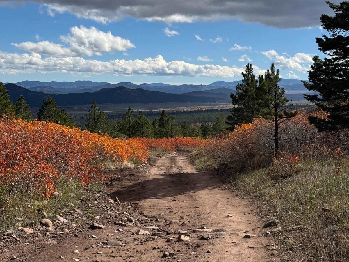
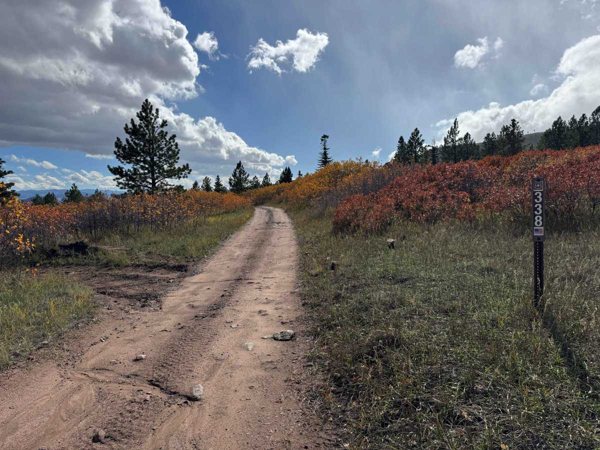
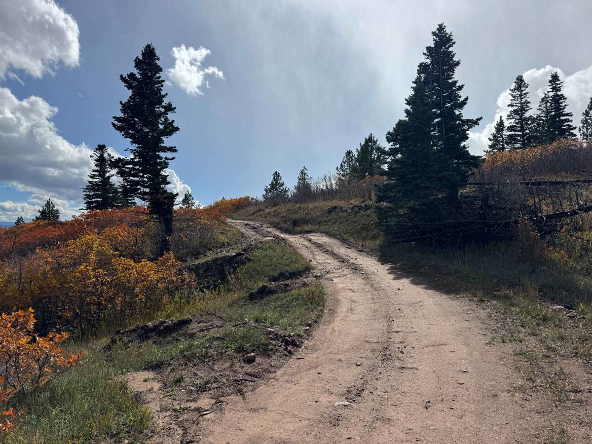
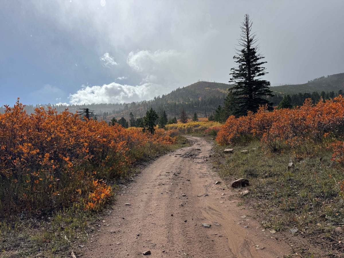
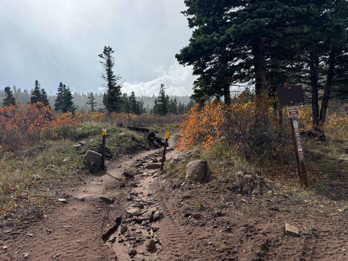
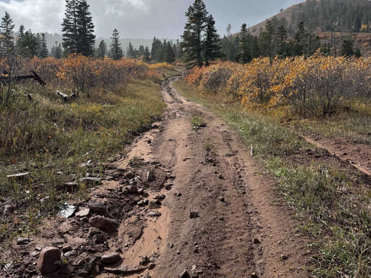
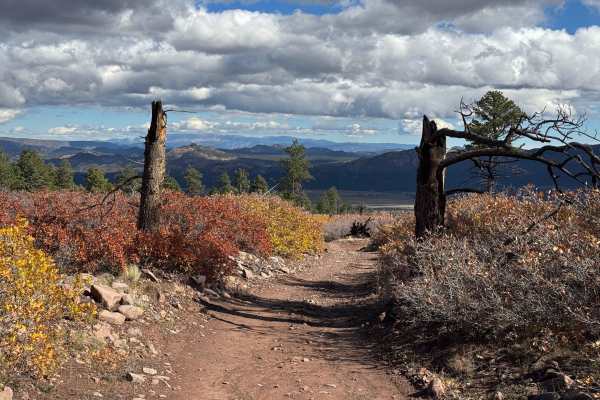
This short, approximately one-mile route is one of the most scenic trails in the area, offering beautiful mountain views and an especially impressive display of fall colors when the leaves begin to change. The trail can be driven as an out-and-back route by 4WD vehicles, while vehicles less than 50 inches wide can connect with the Rainbow Trail to create a loop back to the starting point or continue exploring other nearby routes. Although much of the trail is relatively straightforward, there is a moderately steep section with ruts and scattered rocks that requires careful wheel placement. The route falls toward the upper end of the beginner difficulty range primarily because of several steep, abrupt water bars that require adequate ground clearance and a cautious approach. The outstanding scenery makes this short drive well worth exploring, and visitors may also have opportunities to spot deer and other big game along the way.
Difficulty
Although the route includes a short, moderately steep rocky section with some ruts, the primary reason it falls at the upper end of the beginner difficulty range is the presence of steep, abrupt water bars across the road at several locations. These obstacles require careful wheel placement and adequate ground clearance to avoid scraping the vehicle’s undercarriage. Otherwise, in dry conditions, this is a relatively easy route that should be manageable for most high-clearance vehicles equipped for the terrain.
History
The history of the Rainbow Trail area reflects the long human connection to the Sangre de Cristo Mountains and the neighboring Wet Mountain Valley. Indigenous peoples, including the Ute, used the broader region for generations for hunting, seasonal travel, and gathering resources long before European settlement. Spanish expeditions entered the San Luis Valley region during the late 1600s, and later Spanish and Mexican land grants helped shape settlement, ranching, and agriculture across southern Colorado. As American settlement expanded during the nineteenth century, the mountains and surrounding valleys became important for livestock grazing, timber, hunting, and limited mineral exploration. The Rainbow Trail itself dates to approximately 1912, when early Forest Service roads and trails were developed in part to provide access to cattle and sheep grazing allotments. Over time, these routes evolved into a long-distance recreational trail extending through several Colorado counties and connecting hikers, horseback riders, mountain bikers, and motorcyclists with the forested eastern slopes of the range. Today, the area preserves a combination of natural wilderness, historic land-use traditions, and outdoor recreation that continues to define the character of the Westcliffe regIon.

 Offroad