Trail Overview
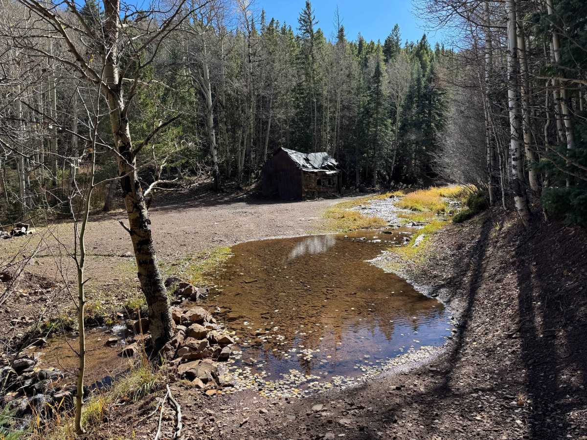
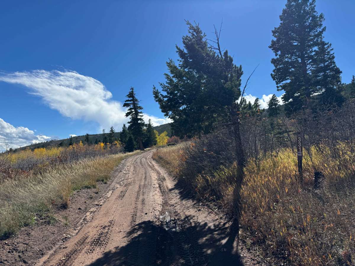
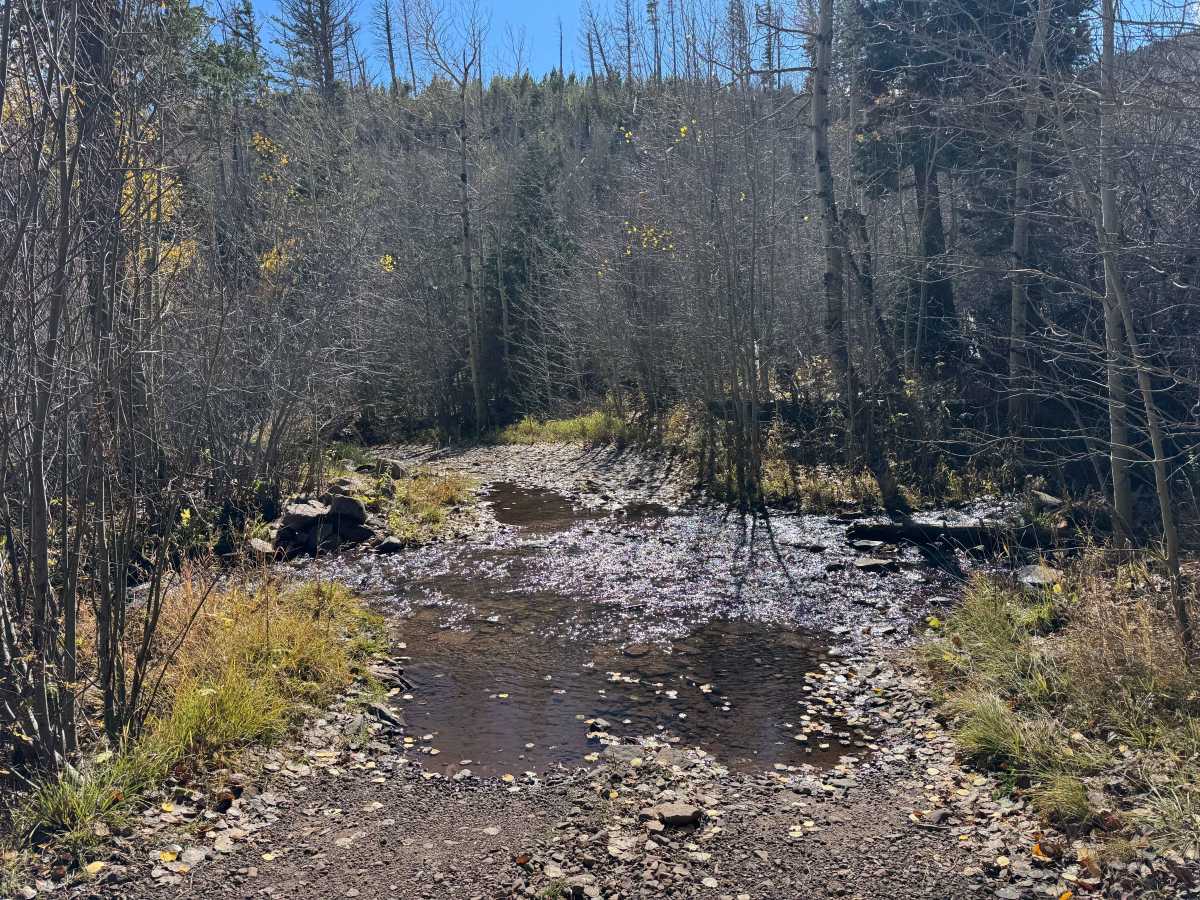
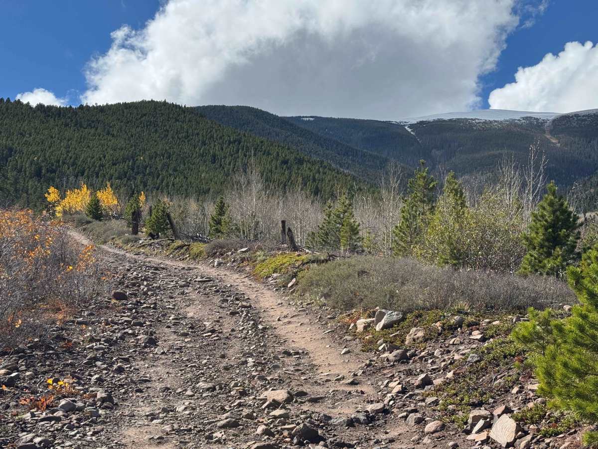
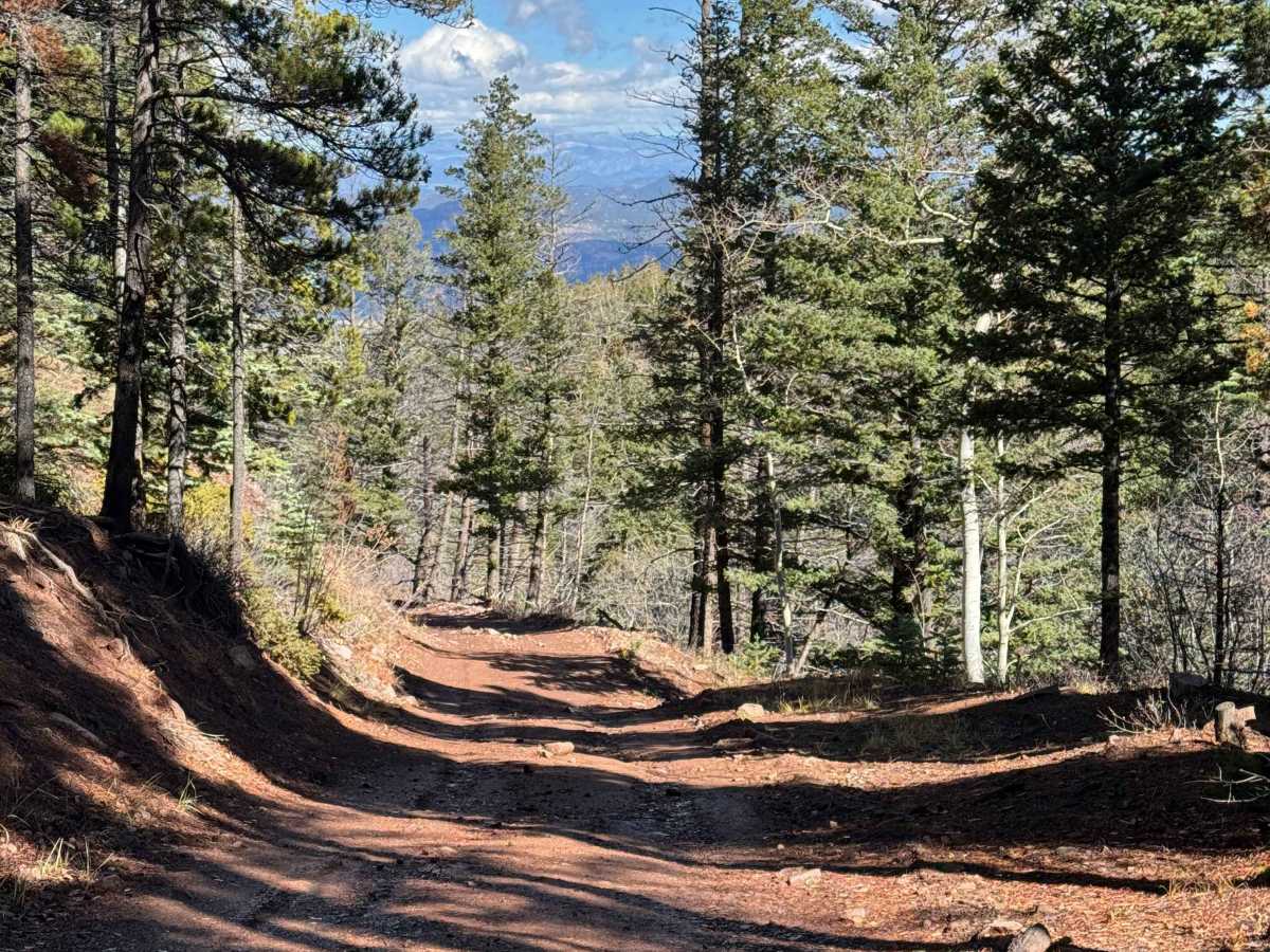
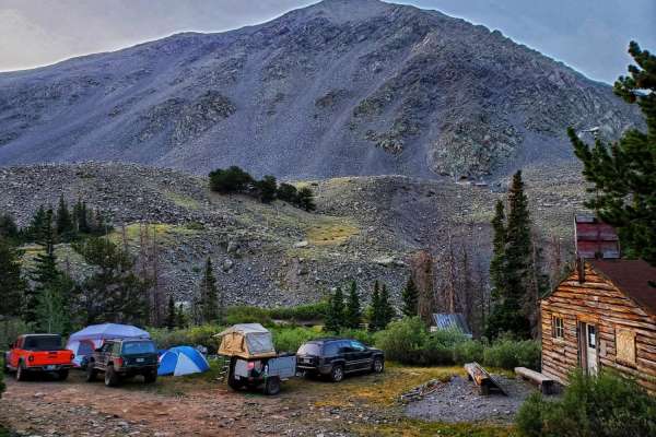
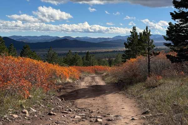
This is arguably a favorite among the five or six trails in this small network of routes. The trail follows an out-and-back route with an additional spur option near the end, offering a scenic ride through the forest with generally smooth terrain and a few moderately steep sections, short climbs, and rocky areas. After crossing the first stream and beginning the ascent, the route opens up into a particularly enjoyable ride beneath the trees, with opportunities to spot wildlife, including deer and other big game. The dirt surface is especially appealing for motorcycle riders, providing excellent riding conditions through much of the route. Near the end, a large but relatively shallow water crossing leads to the trailhead for the non-motorized Peerless Trail, along with a pleasant area for camping. Although the mapped route appears to continue beyond a nearby cabin, a blockade prevents larger vehicles from proceeding. Motorcycles can travel only another 50 to 60 yards before encountering a road closure that prohibits all vehicles. Beyond this point, the route would soon enter private property.
Difficulty
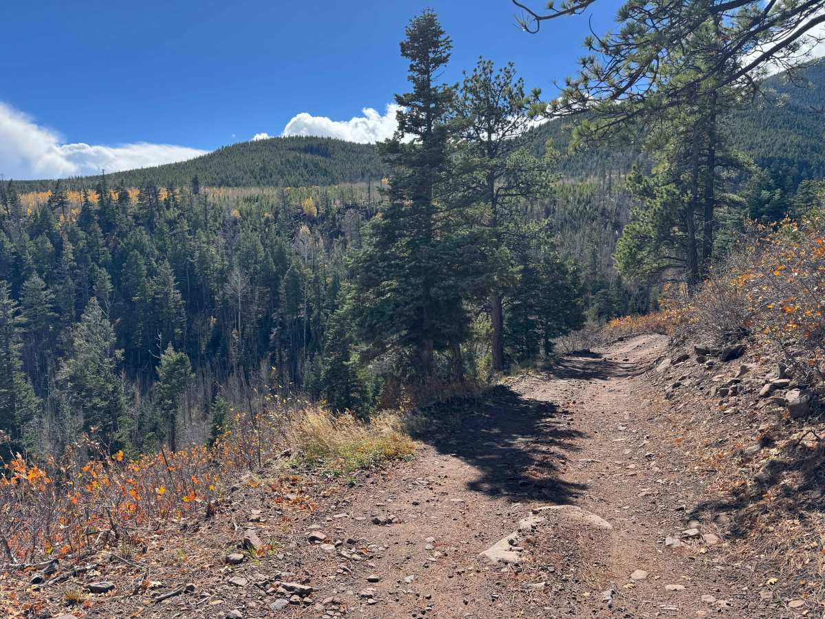
Although this is not a particularly difficult trail, there are several moderate inclines and scattered rocky sections that require careful wheel placement. The water bars along the route are relatively tall and abrupt, making high ground clearance essential to avoid scraping the undercarriage. Drivers should approach these obstacles slowly and choose their lines carefully, especially where rocks and uneven terrain are present. Overall, in dry conditions, this is a fairly easy route for a high-clearance vehicle, making it a good option for drivers looking to explore the area without encountering consistently challenging terrain.
History
Peerless Road and Peerless Trail provide access to the historic backcountry of the eastern Sangre de Cristo Mountains within the San Isabel National Forest near Westcliffe, Colorado. Historical references identify the route as the Peerless Mine Trail, suggesting a possible connection to early mining activity in the area. An abandoned miner’s shack has been reported near the trailhead, although the mine’s operating dates and the origins of the road and trail have not been definitively established. The route climbs steeply through rocky terrain toward a ridge overlooking the North Brush Creek drainage, offering views of the surrounding mountains and access to additional hiking routes, including the North Brush Trail. Evidence of past trail maintenance, including old saw cuts on fallen trees, suggests that people have worked to keep the route accessible over the years. While the full history of Peerless Road and Trail remains uncertain, the possible mining connection and long-standing recreational use add historical interest to this remote mountain area.