Trail Overview
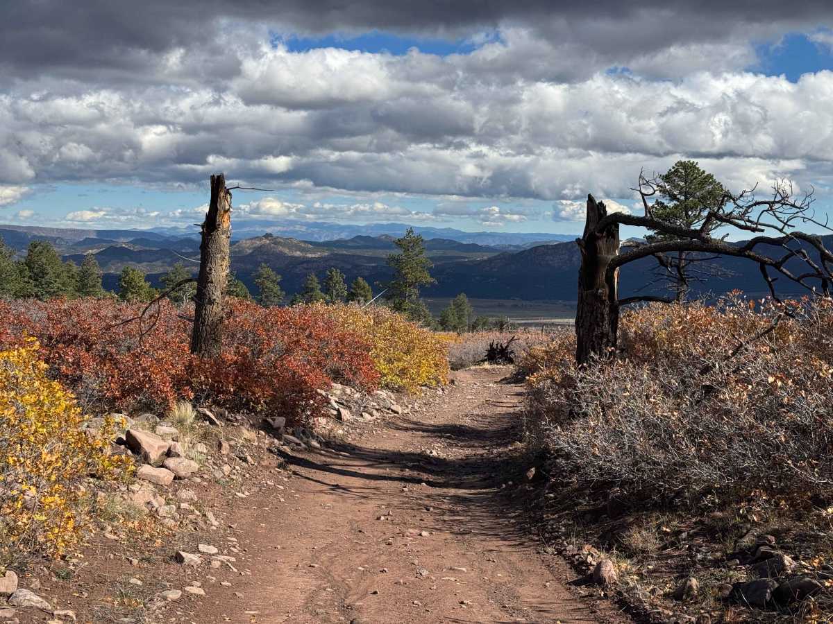
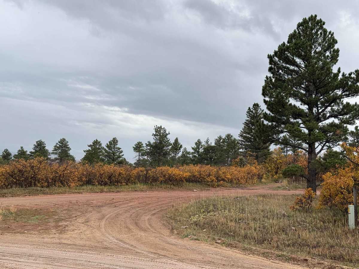
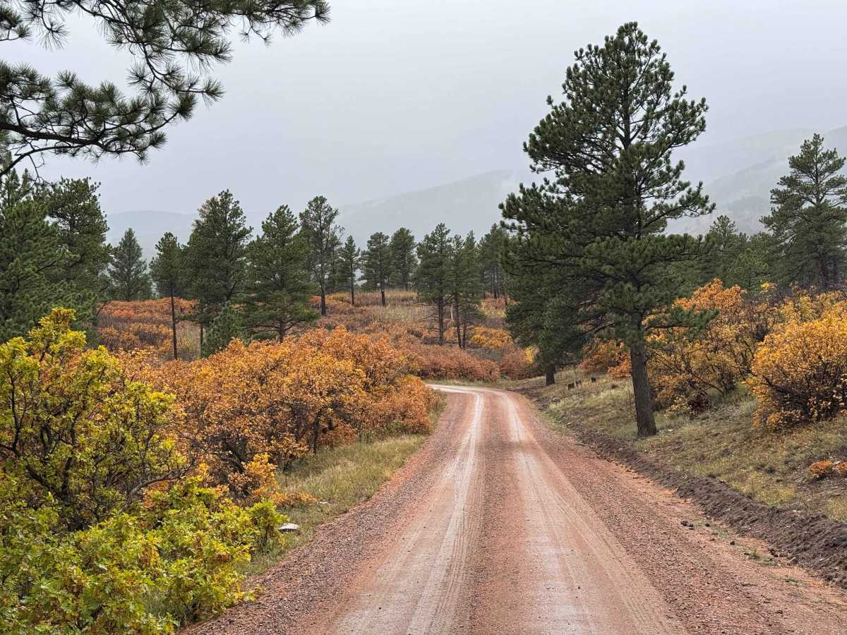
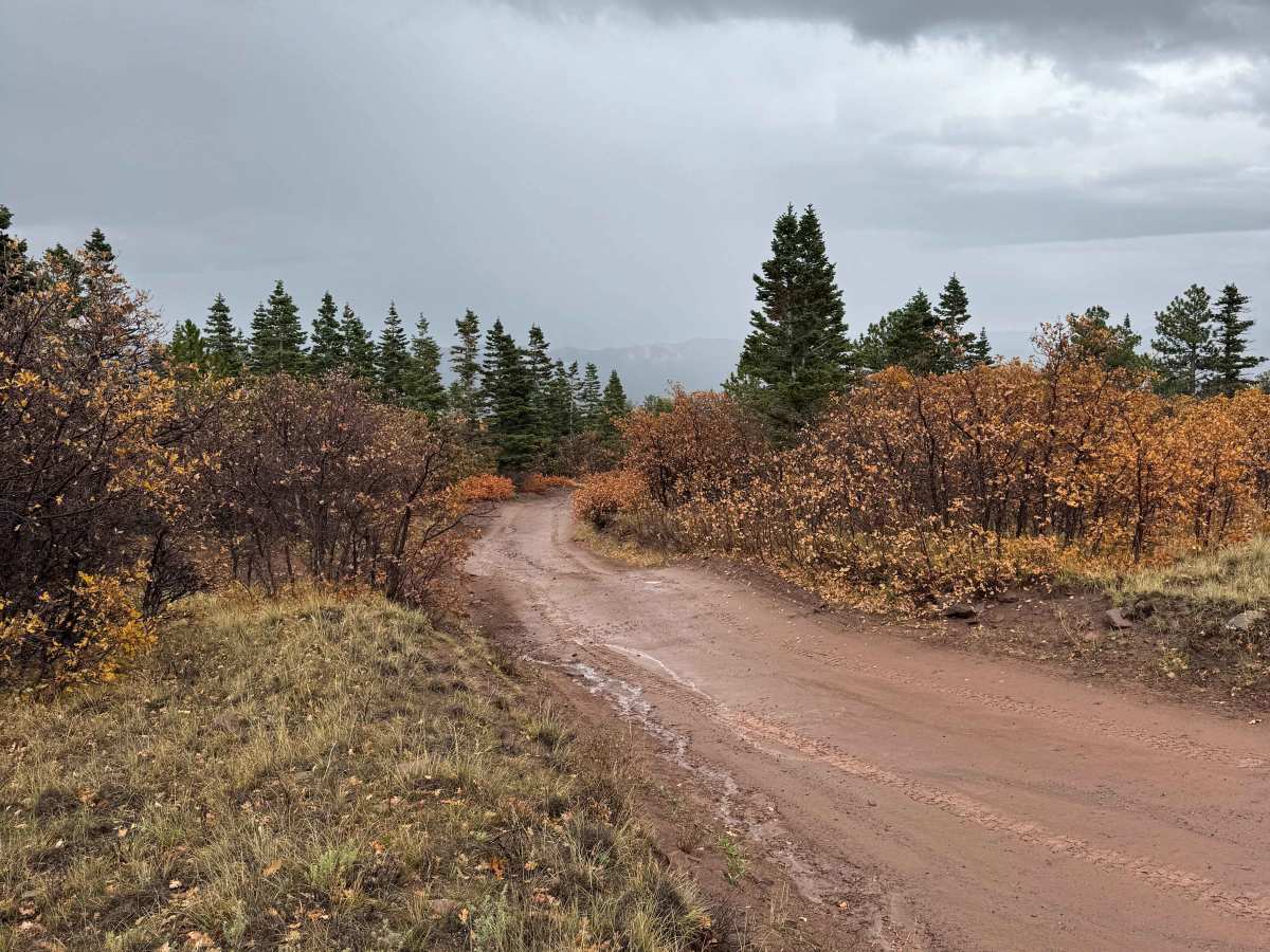
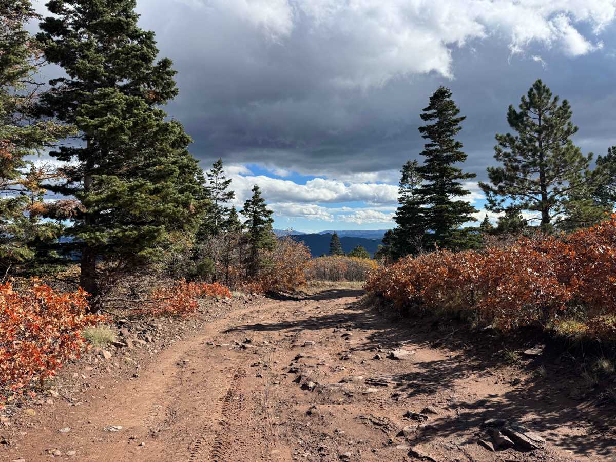
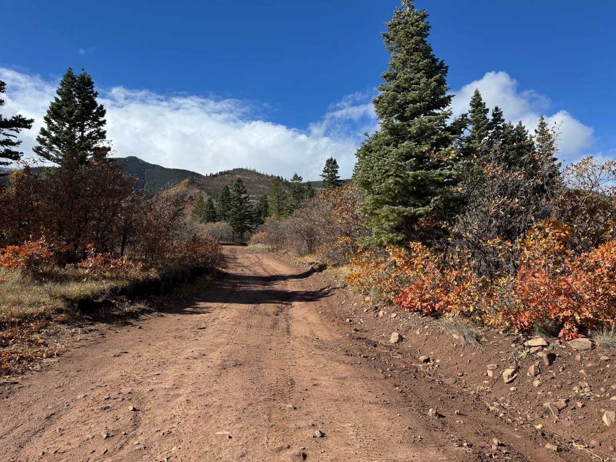
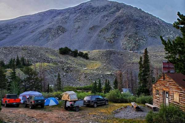
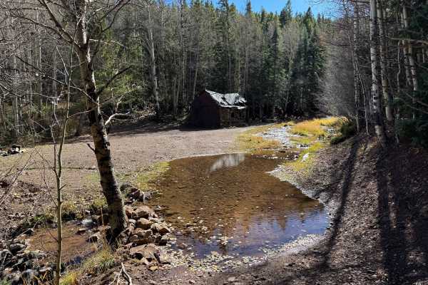
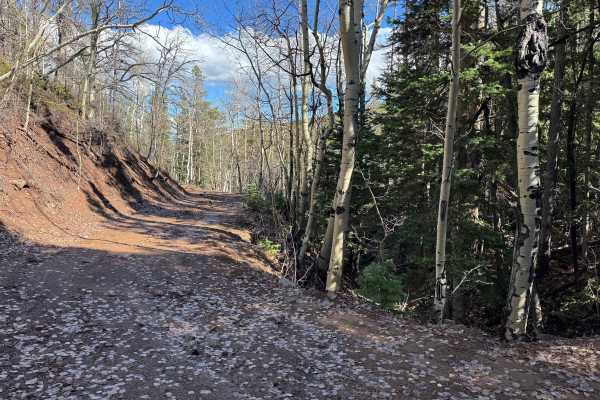
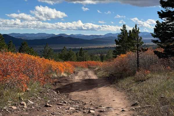
This popular route begins as a relatively smooth, well-maintained road with numerous opportunities for dispersed camping on both sides. During hunting season, the area attracts hunters who use these sites as base camps, so expect increased traffic and potentially crowded camping areas during peak hunting weeks. As you continue along the route, the road gradually transitions from a well-traveled access road into a more remote trail, with evidence of frequent SxS use along the way. Although the surface remains relatively smooth for much of the journey, there are several water crossings and a few sections with light rock beds that require attention. The route continues through some of the most beautiful scenery in the area before climbing toward the mountains and crossing the Rainbow Trail, where you’ll find a large, attractive dispersed camping area. Vehicles less than 50 inches wide can use the Rainbow Trail to create a loop or connect with additional routes in the area. Wider vehicles must return the way they came, making this an out-and-back route for full-size 4WD vehicles.
Difficulty
This trail is not particularly difficult in dry conditions and is generally suitable for drivers with basic off-road experience. It falls toward the upper end of the beginner difficulty range primarily because of several steep, abrupt water bars along the route. These obstacles require careful navigation and sufficient ground clearance to avoid damaging the vehicle’s undercarriage. A high-clearance vehicle is recommended, and drivers should approach the water bars slowly and select their line carefully.
History
The history of the Rainbow Trail area reflects the long human connection to the Sangre de Cristo Mountains and the neighboring Wet Mountain Valley. Indigenous peoples, including the Ute, used the broader region for generations for hunting, seasonal travel, and gathering resources long before European settlement. Spanish expeditions entered the San Luis Valley region during the late 1600s, and later Spanish and Mexican land grants helped shape settlement, ranching, and agriculture across southern Colorado. As American settlement expanded during the nineteenth century, the mountains and surrounding valleys became important for livestock grazing, timber, hunting, and limited mineral exploration. The Rainbow Trail itself dates to approximately 1912, when early Forest Service roads and trails were developed in part to provide access to cattle and sheep grazing allotments. Over time, these routes evolved into a long-distance recreational trail extending through several Colorado counties and connecting hikers, horseback riders, mountain bikers, and motorcyclists with the forested eastern slopes of the range. Today, the area preserves a combination of natural wilderness, historic land-use traditions, and outdoor recreation that continues to define the character of the Westcliffe regIon.