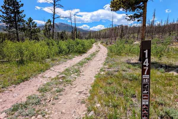
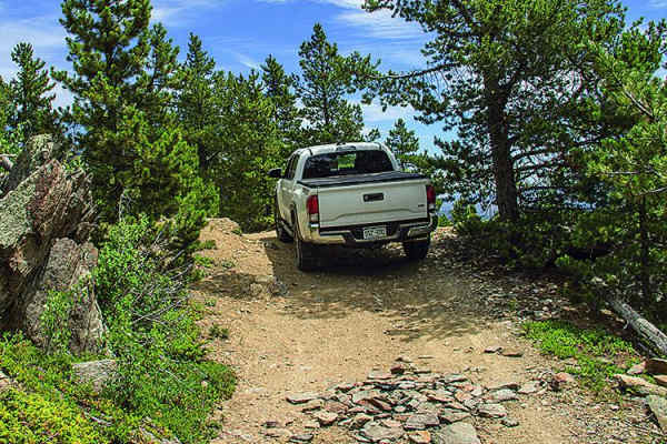
Trail Overview
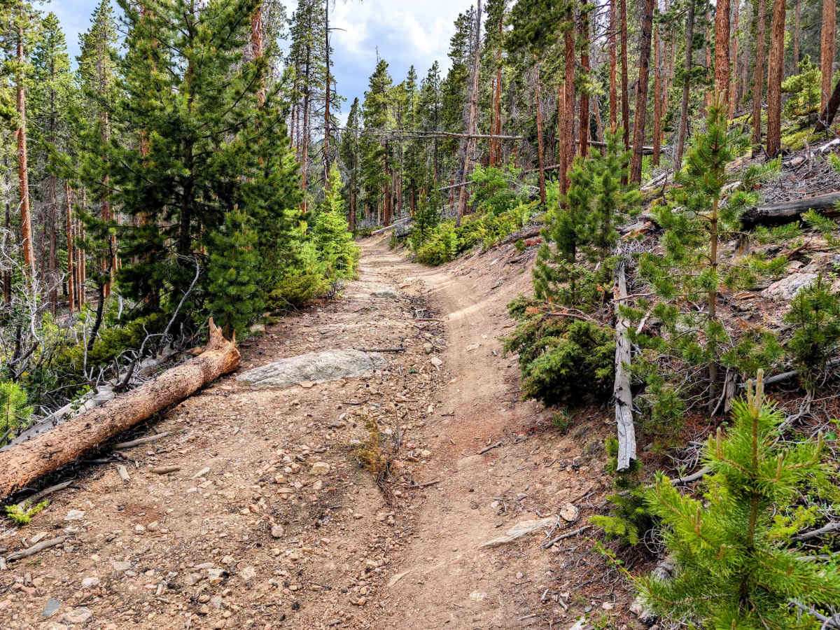
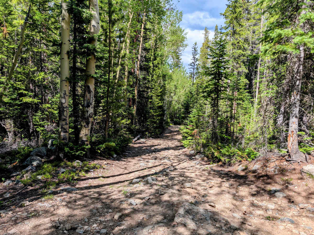
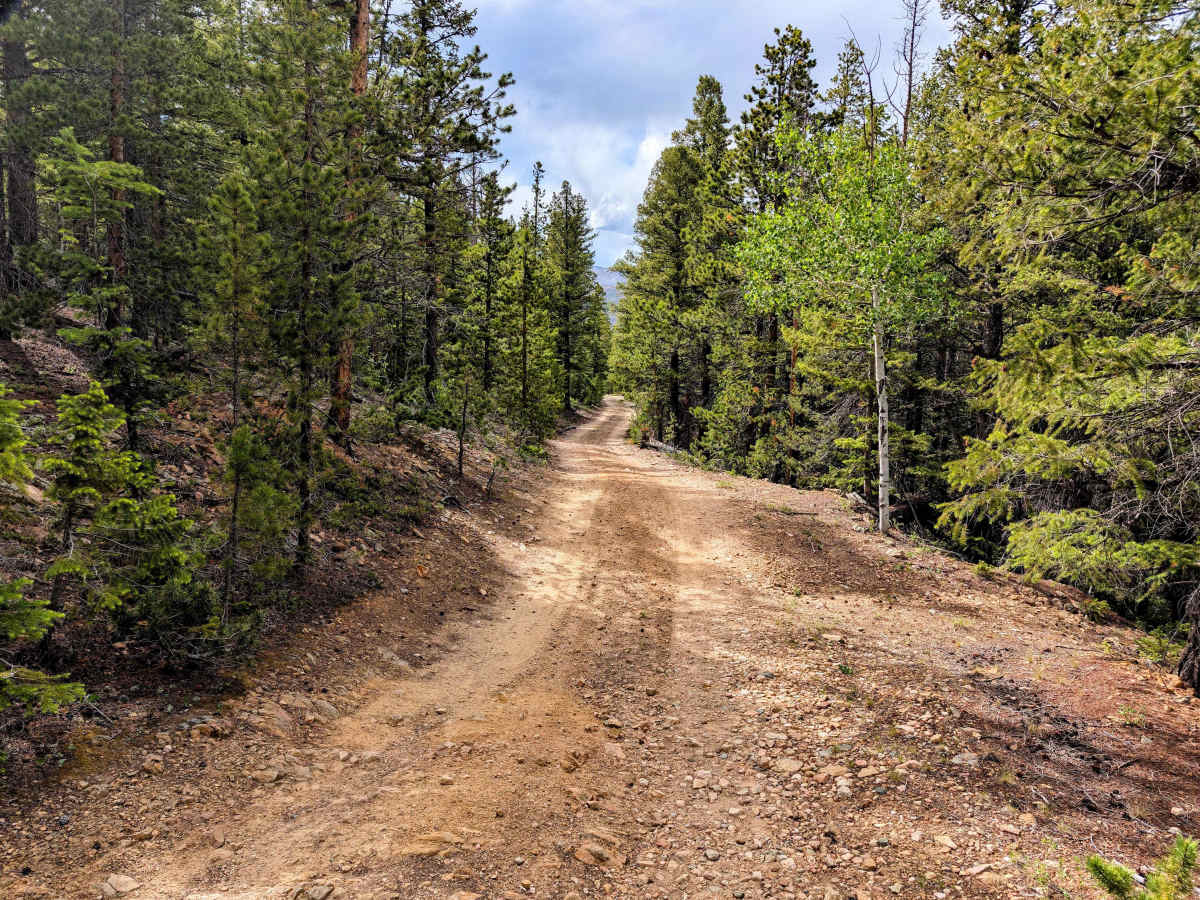
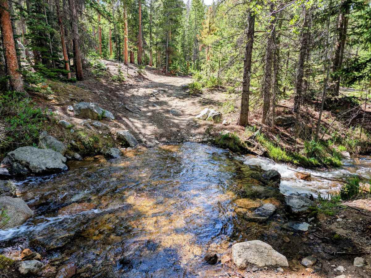
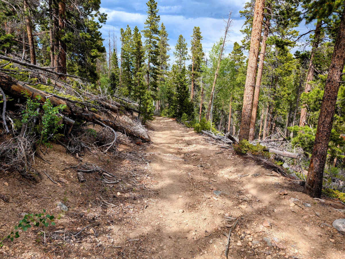
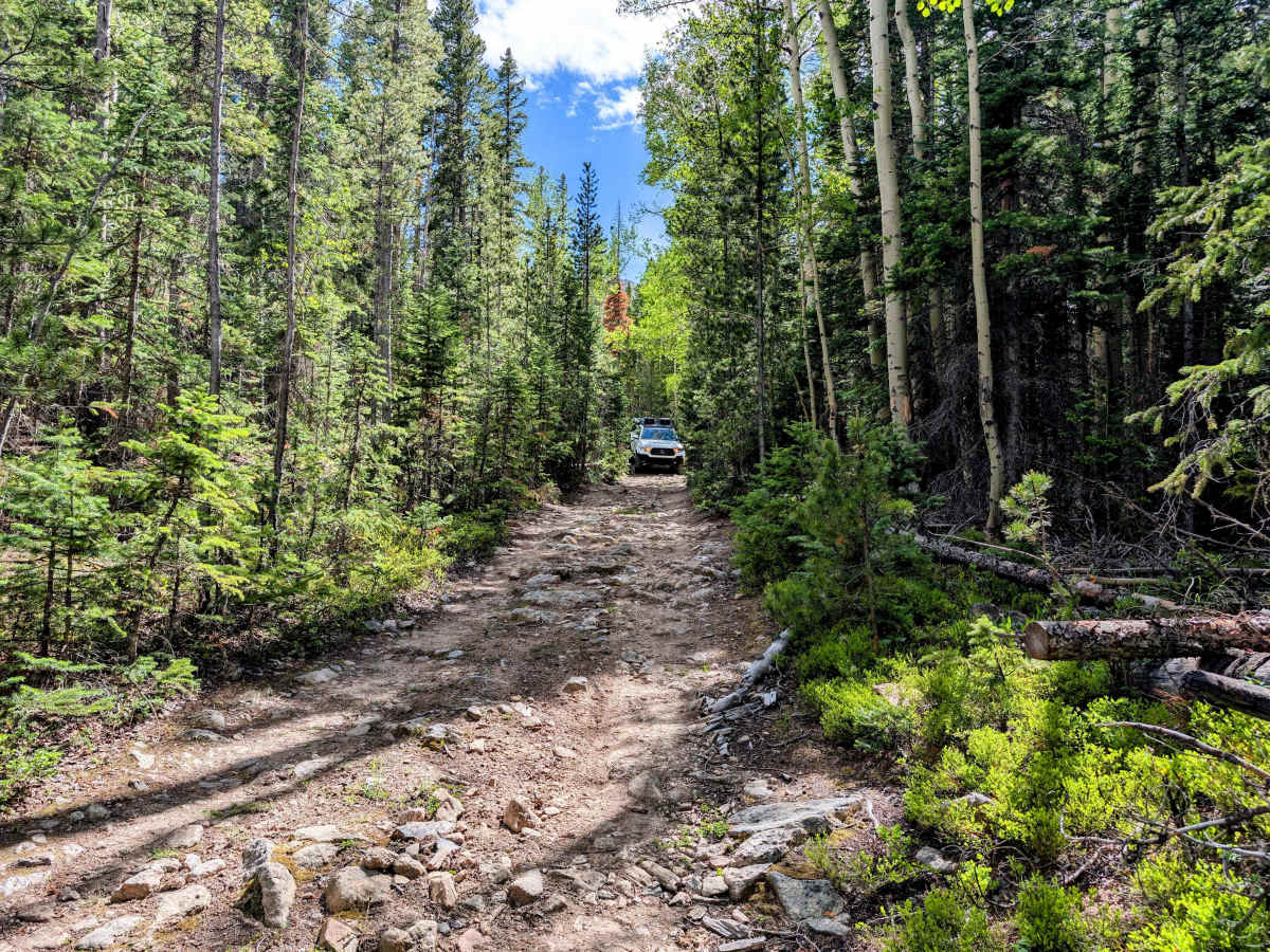
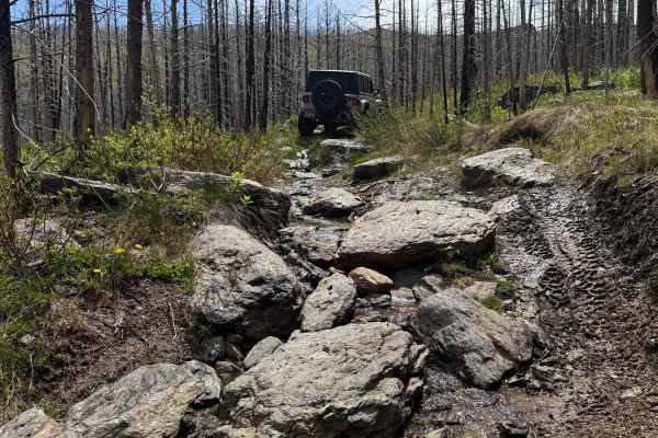
Tucked off Pingree Park Road, Forest Road 234 and its 234A (also known as Twin Lakes Spur Road) offshoot offer a fun, rugged little drive through dense pine forest. While short, it is a great track for flexing your suspension while hunting for secluded dispersed campsites. The trail winds tightly through the trees, making the track narrow with brush and occasional low-hanging downed timber. The first half-mile starts as an easy gravel two-track before transitioning into deep ruts, a couple of small stream crossings, and slick mud patches fed by natural springs. High clearance is highly recommended, as stock vehicles might get hung up on many unavoidable boulders.
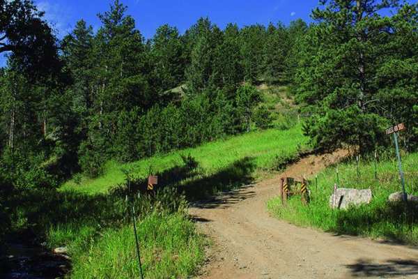
Note that FS 234 dead-ends earlier than most maps indicate, blocked by Forest Service berms and restricted access signs. Turnaround space at the very end is nearly non-existent, so be prepared to back up your rig about 100 feet to the 234A fork. The 234A spur opens up into a clearing, providing plenty of room to turn around or put up a rooftop tent for the night.
Difficulty
This trail quickly transitions from a simple gravel road into a more demanding track that requires four-wheel drive and moderate ground clearance. Drivers must navigate deep ruts, small stream crossings, jagged rocks, and slick, spring-fed mud patches that will easily trap low-clearance AWD crossovers. While a stock 4x4 like a Jeep or Tacoma can handle the terrain without issue, many tight areas add a layer of technicality. You will need to watch for downed trees, expect some pinstriping from the encroaching brush, and be comfortable backing your rig out of a tight dead-end if you bypass the turnaround on the 234A spur.