Trail Overview
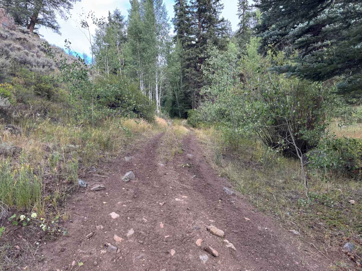
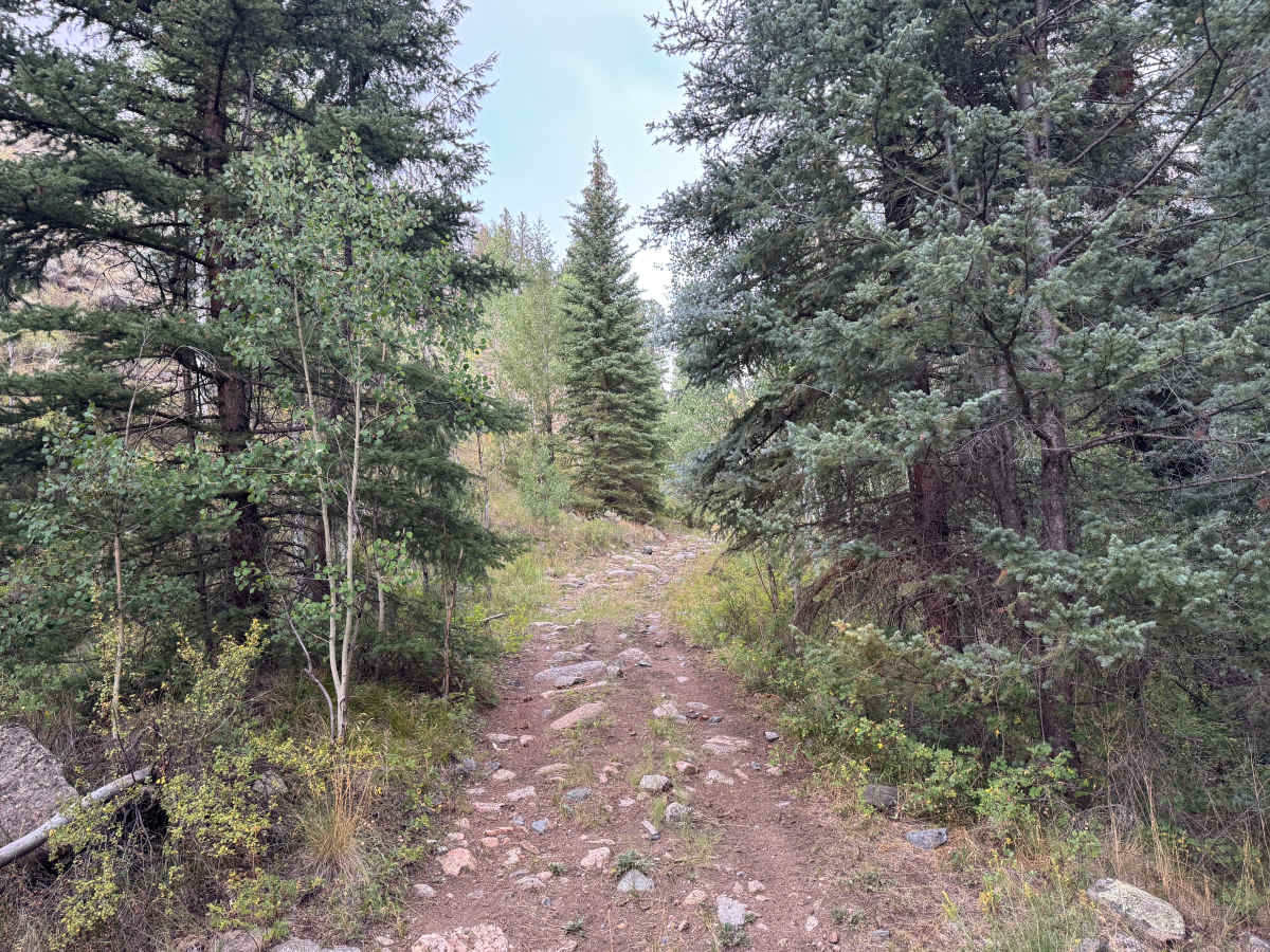
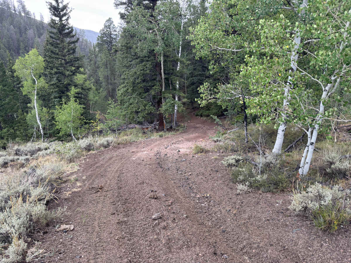
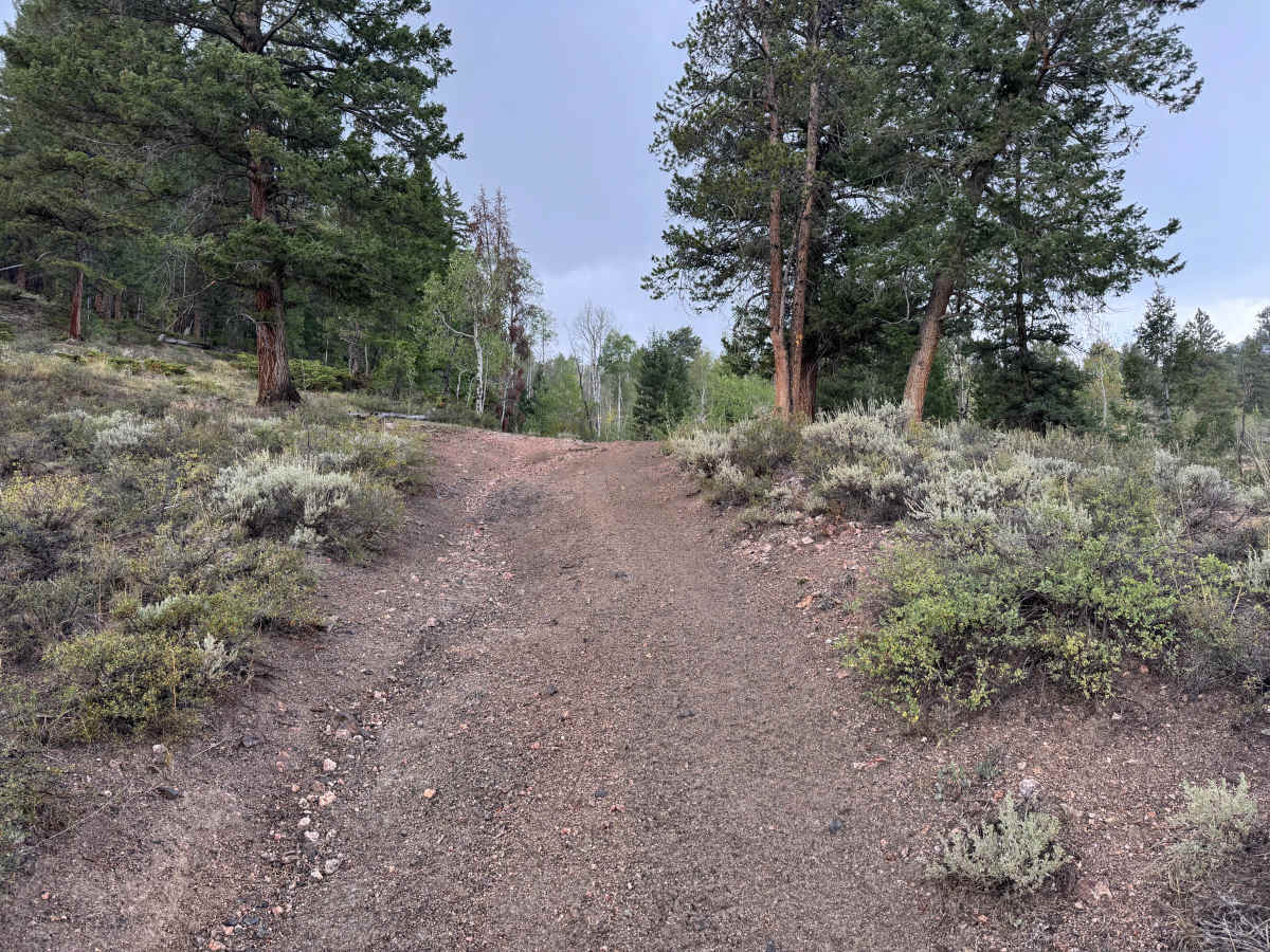
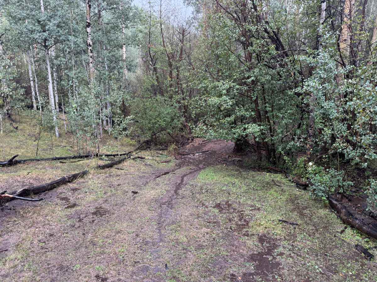
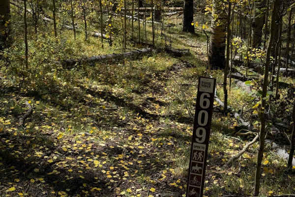
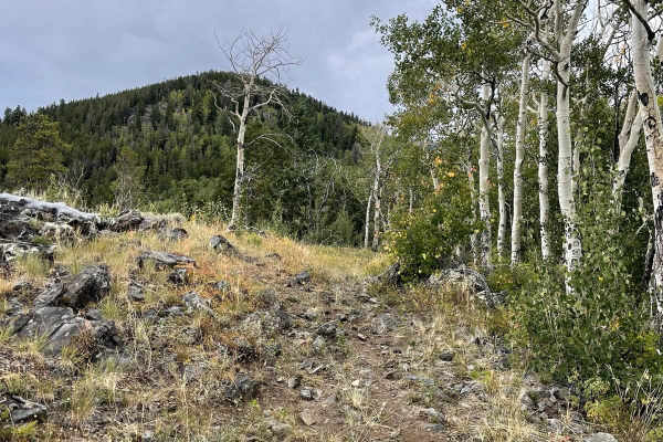
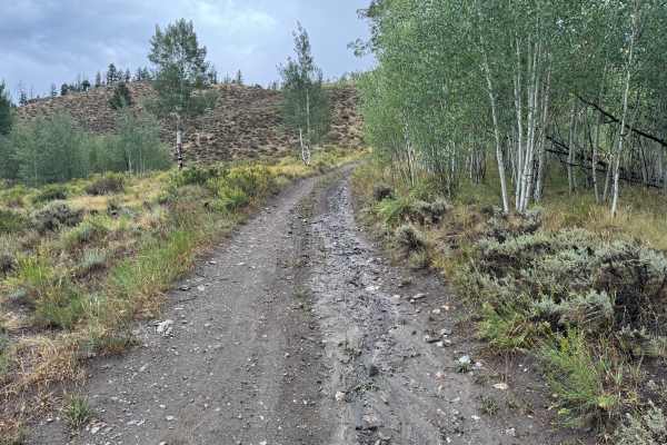
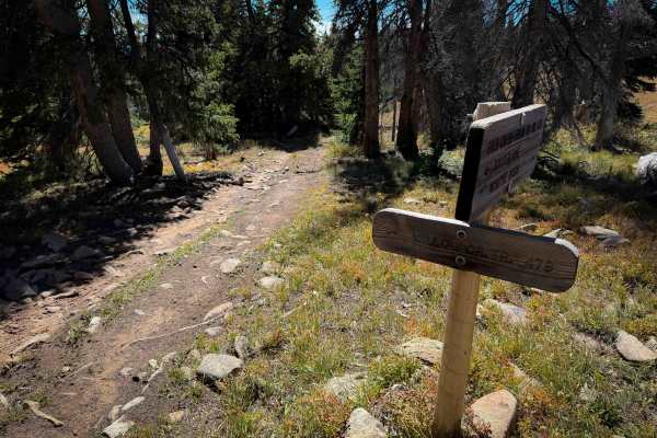
This out-and-back route travels through the Gunnison National Forest along a narrow trail that is primarily one vehicle wide. The surrounding landscape consists of dense stands of aspen and conifer trees, with thick shrubs and other low-growing vegetation lining much of the route. The surface changes between reddish-brown packed dirt, fine gravel, and areas scattered with loose and embedded rock. In some sections, the forest opens slightly into areas with sagebrush and more widely spaced trees before returning to thicker vegetation. Fallen timber and dead trees are common throughout the surrounding forest. During wet conditions, portions of the dirt surface can become muddy, with standing water collecting in low areas and existing tire tracks. The motorized route eventually ends at a hiking trail designation, requiring vehicles to turn around and return the same way they entered.
Difficulty
This route is primarily packed dirt and fine gravel with scattered loose and embedded rocks creating occasional uneven sections. The trail remains approximately one vehicle wide, with trees and vegetation close to the travel surface in several areas. Wet weather can create muddy conditions and standing water in low spots, potentially reducing traction. No major obstacles or highly technical sections are present.
History
The Ohio City and Gold Creek area developed around mining during Colorado's late-19th-century mining era. Gold discoveries in the region date to the 1860s, but development accelerated after silver discoveries around 1879–1880. The surrounding Gold Brick Mining District contained numerous mines and prospects, including gold and silver workings extending into the mountains surrounding Ohio City. Mining declined around the turn of the century but experienced another period of production during the 1930s and early 1940s. Today, old roads, mine sites and other remnants scattered throughout the surrounding mountains reflect this historic period of mineral exploration and development.