Trail Overview
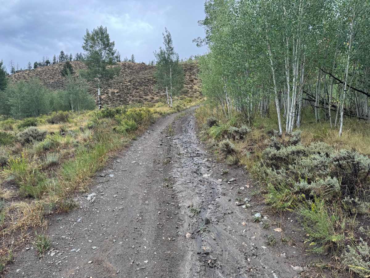
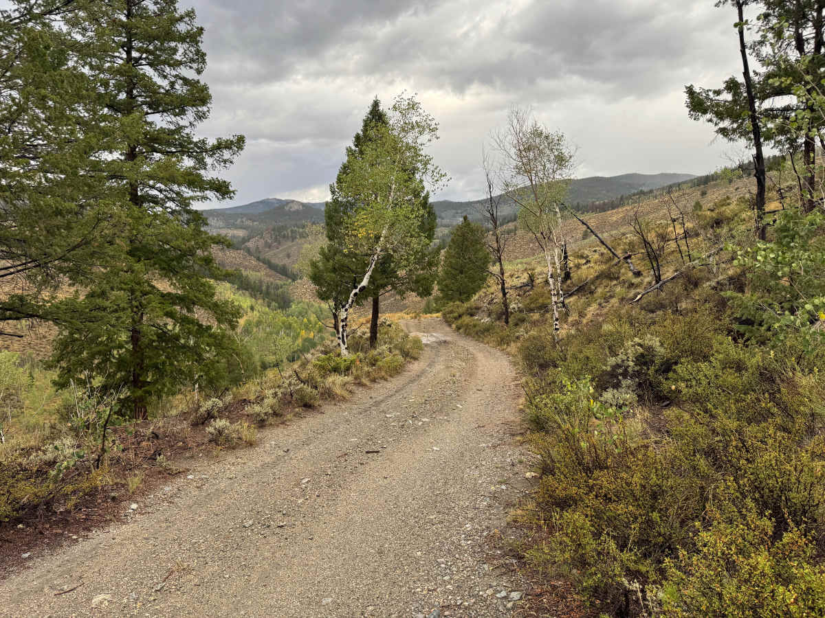
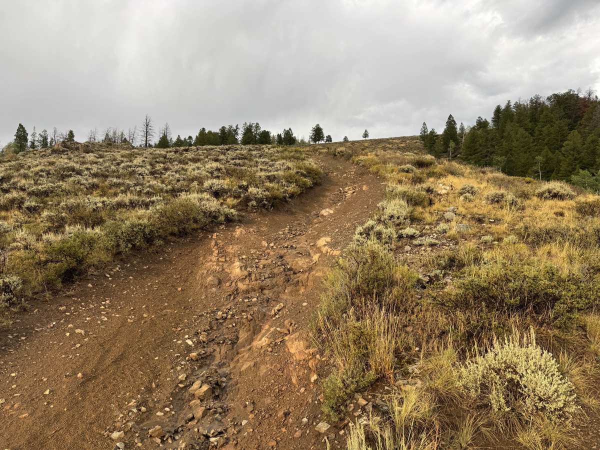
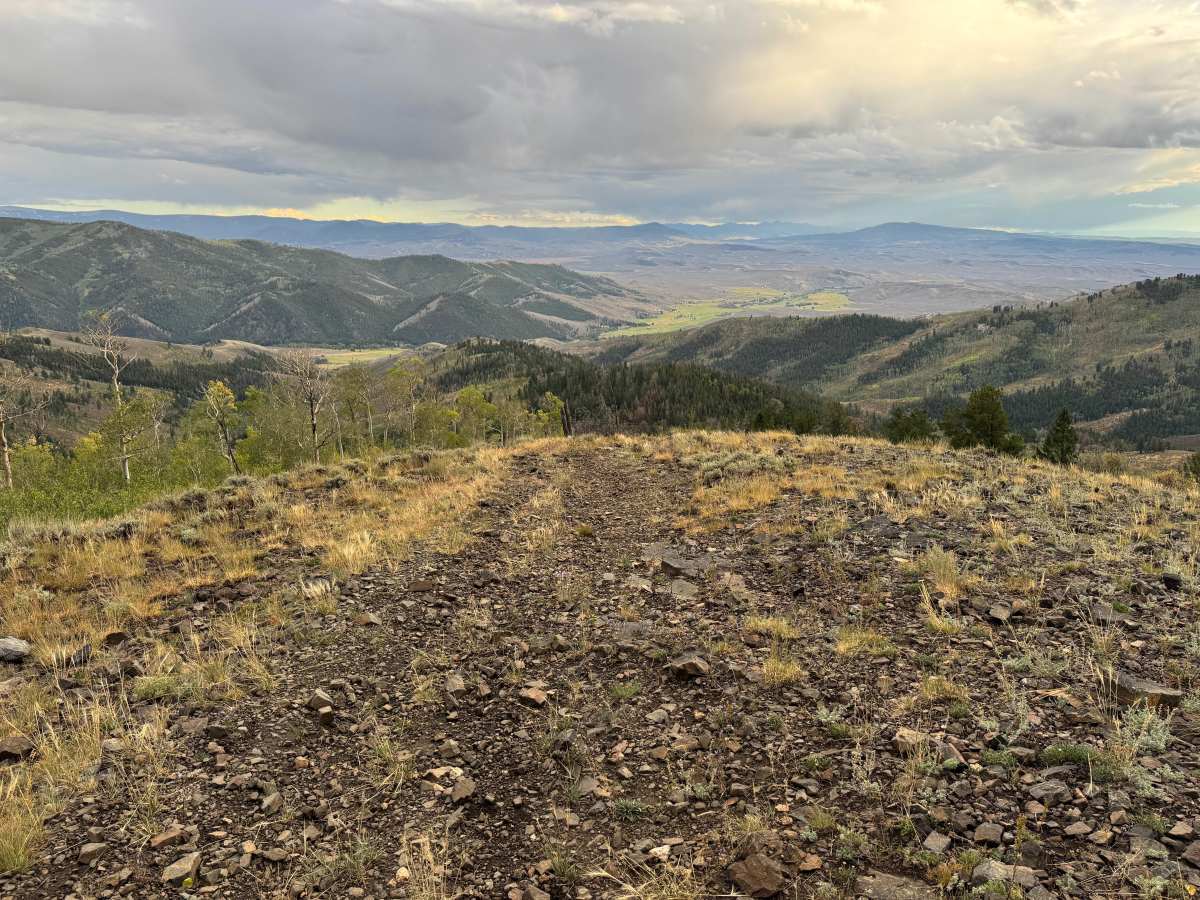
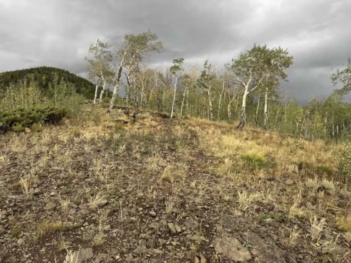
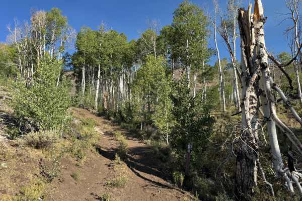
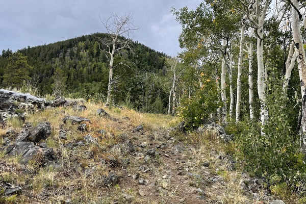
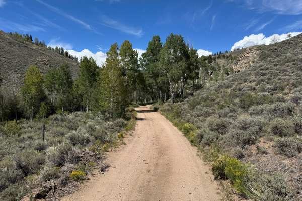
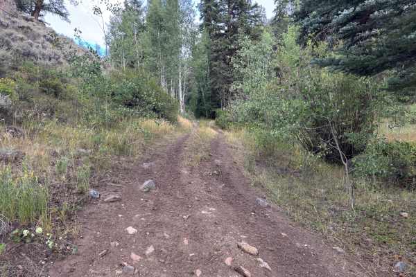
This out-and-back route travels through a changing mountain landscape as it steadily climbs toward a high ridgeline. The surface varies from packed dirt and gravel to sections covered with loose and embedded rock, with some areas showing erosion and exposed bedrock. Lower portions pass through thick stands of aspens and conifers with brush growing close to the roadway, while higher elevations transition into more open terrain covered in grasses, sagebrush, and scattered trees. Along the way, the route passes an old mining claim where some equipment remains. As elevation increases, the forest opens considerably and provides expansive views across the surrounding mountains, valleys, and distant ridgelines. The route eventually reaches an exposed high point with spectacular panoramic views before ending where motorized travel gives way to a designated hiking trail.
Difficulty
The route consists of packed dirt and gravel with sections of loose and embedded rock, exposed bedrock, shallow erosion, and occasional muddy areas. The difficulty increases as the route gains elevation, with steeper grades and rougher, rockier sections requiring careful tire placement. Most of the route is only one vehicle wide, and wet conditions can make the dirt and rocky climbs more slippery.
History
The Ohio City and Gold Creek area developed around mining during Colorado's late-19th-century mining era. Gold discoveries in the region date to the 1860s, but development accelerated after silver discoveries around 1879–1880. The surrounding Gold Brick Mining District contained numerous mines and prospects, including gold and silver workings extending into the mountains surrounding Ohio City. Mining declined around the turn of the century but experienced another period of production during the 1930s and early 1940s. Today, old roads, mine sites, and other remnants scattered throughout the surrounding mountains reflect this historic period of mineral exploration and development.