Dotsero Crater

Total Miles13
Technical Rating
4Moderate
Best TimeSummer, Fall, Spring
Trail TypeFull-Width Road
Accessible By
Open Trail Map

Trail Overview

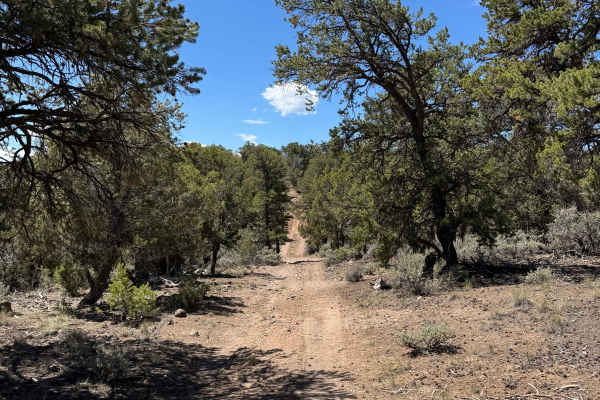
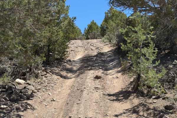
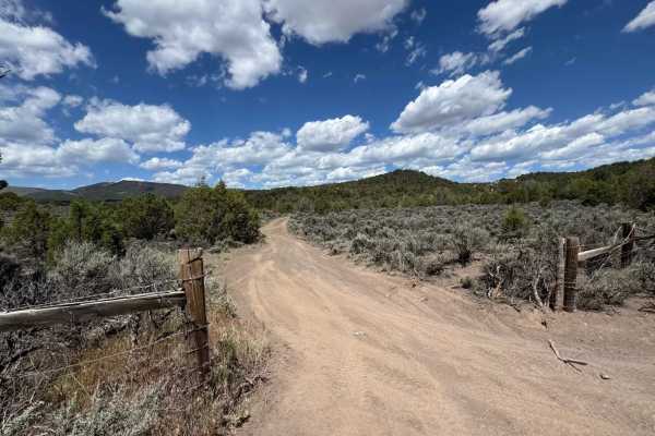
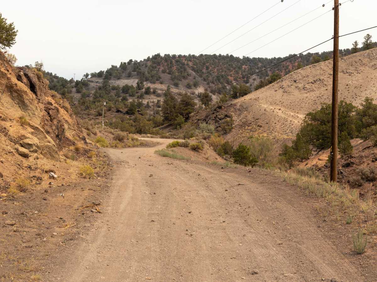
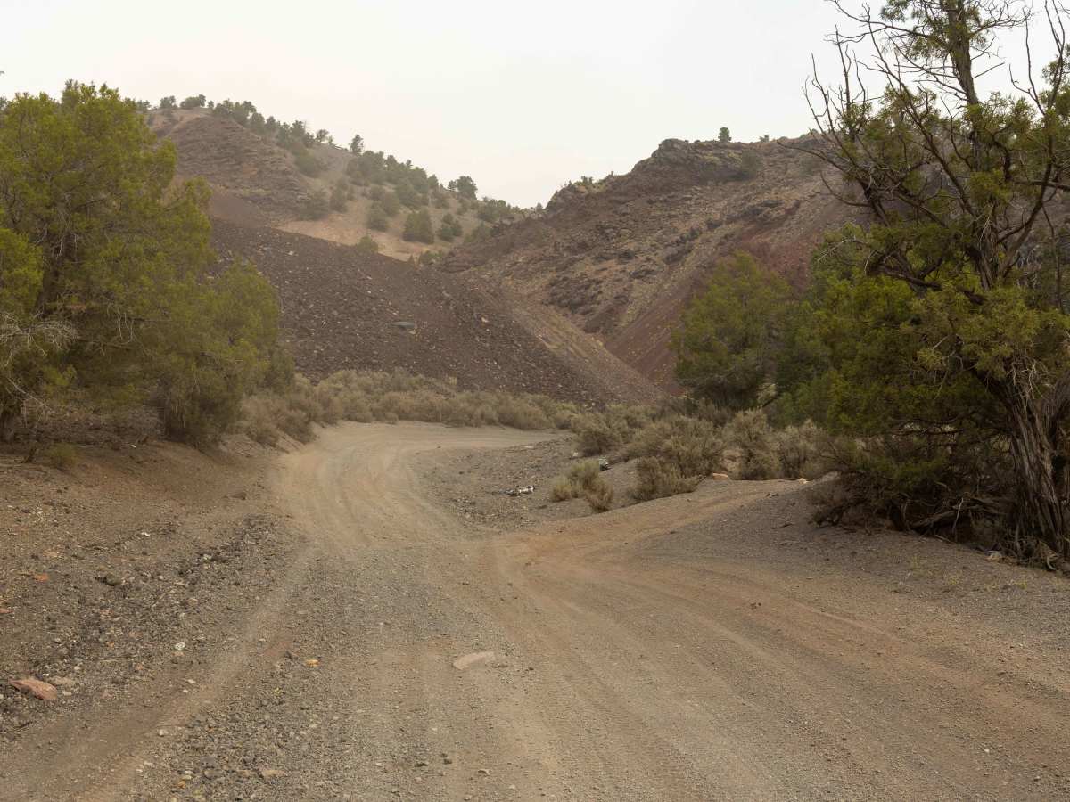
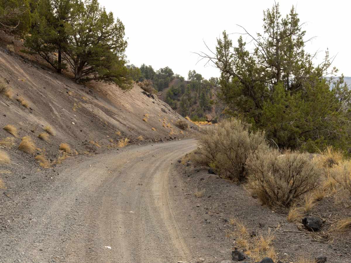
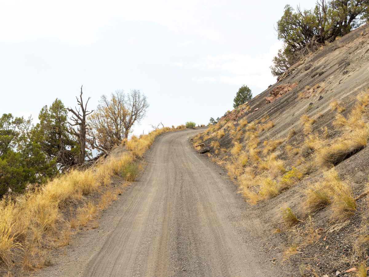
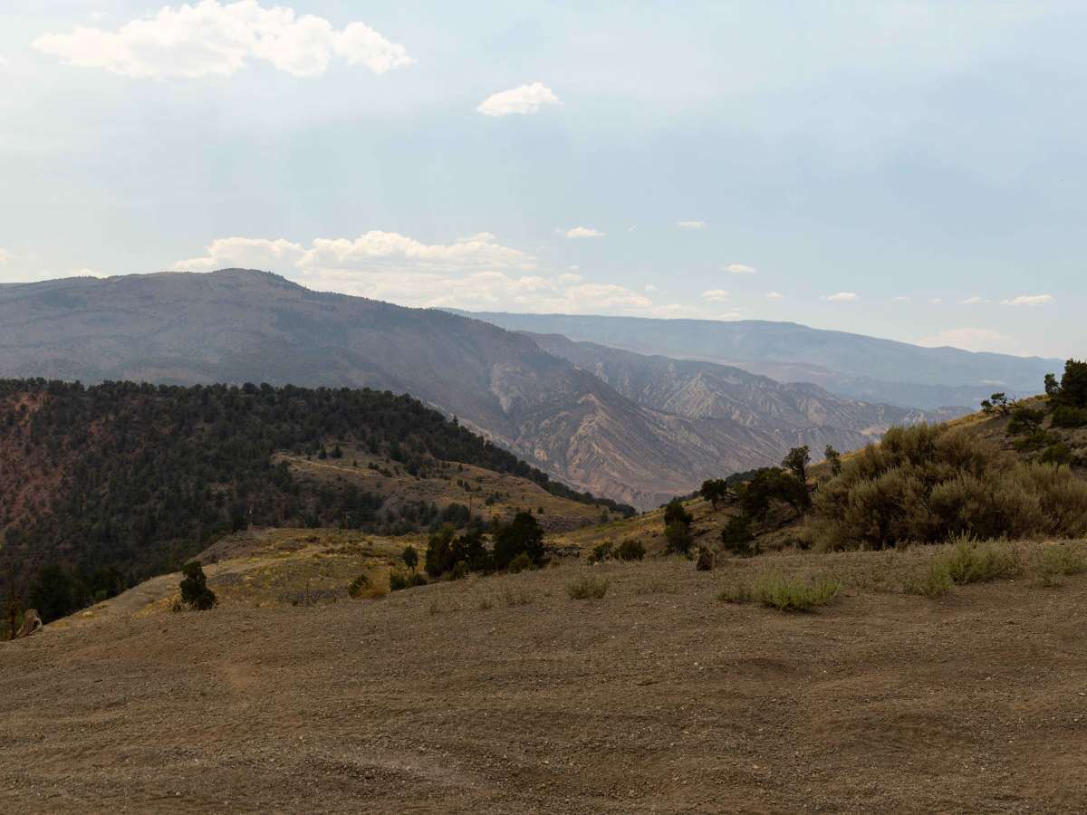
The route around Dotsero Crater presents varying terrain that changes noticeably as you move from west to east. On the western approach, the hills are steep with loose rock and noticeable erosion, demanding careful throttle control and line choice even though the terrain isn’t technically obstacle-laden. The surface consists of silt-like dirt and sections of soft, deep volcanic cinders and small rock, which can make traction inconsistent. As you continue east, the route flattens some but shares space with mining activity and truck traffic, so caution and awareness are required. This run is best traveled west to east, starting with the rougher, eroded climbs and ending with the more industrial terrain near Dotsero.

Photos of Dotsero Crater

Difficulty

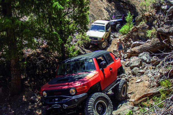
This is an unmaintained trail with many offshoot trails of varying difficulty. There are steep climbs with blind corners and offcamber switchbacks. Erosion and rocky sections have made this trail somewhat technical in spots. The soil composition may become impassable when wet.

History

Dotsero Crater is Colorado’s youngest volcano, having erupted about 4,200 years ago. The eruption left behind a 2,300-foot-wide crater, extensive lava flows, and layers of volcanic cinders that now shape the trail’s unique surface. The volcano sits at the junction of the Eagle and Colorado Rivers and is classified as potentially active by the U.S. Geological Survey. Its eruption produced both lava flows and a massive mudflow that extended several miles downstream along the Colorado River, altering the valley floor. Today, mining operations on the eastern side of the crater extract lightweight cinders for industrial use, which is why truck traffic is common in that section. The crater and its lava beds are a rare geologic site in the state, offering a stark contrast to the surrounding canyon and high-desert landscape.

Technical Rating

4

Status Reports

Add Status Report
Low Rider Bronco
Jun 19, 2026
2023 Ford Bronco
Open
Dusty
Nice trail to see Colorado's newest active volcano.
Scott Adams
Jun 15, 2026
Open
NormalDustyWashboard
The trail is very much as previously described and is currently quite dusty this time of year. Traffic is generally light during the week, although weekends can be busy with SxSs and ATVs. Unfortunately, some of the dispersed campsites and pullouts along the main road contain litter, which is less common in the more remote sections farther up the route. There are no significant obstacles on this trail, and in dry conditions, any vehicle with decent ground clearance should be able to complete the loop.
Jeff Rose
Jun 08, 2026
2024 Jeep Wrangler
Open
NormalDusty
We went east to west. First section is just a really dusty dirt road. After about halfway through it gets a little interesting. We did some out and backs on some of the side roads and got some great views
Jordan Hurd
Jun 07, 2026
2026 RAM 2500 Power Wagon
Open
Dusty
Great little detour off of 70. Ran the trail east to west and enjoyed to faster sections as well as crawling around on some off shoots. The Power Wagon was a little wide through two section where we ended up with a few pin stripes. Overall a fun and scenic trail!
Matt Smith
May 25, 2026
Open
Dusty
Fairly easy trail, nothing all that challenging. We ran it east to west and had to go up a pretty knarly incline with some large rocks. I would recommend going west to east to make it a bit easier on yourself.
Nathan G
Apr 12, 2026
Open
DustyRough/Deteriorated
Open and dusty run it out in a few spots, but never touched anything, if you wanna see the crater, then start on the West side.
Colin Wichers
Mar 16, 2026
2022 Toyota Tacoma
Open
Rough/Deteriorated
Ran from Gypsum to campsite at the northernmost point - did not continue all the way to Dotsero. Very rutted out but dry, we could stay out of them. LOTS of trash everywhere, if you have the time please bring back anything you can carry. We cleaned up an entire site worth of beer cans.
Conor Griffin
Jan 07, 2026
2018 GMC Yukon XL
Open
Muddy/WetSnow/Ice
We went from Dotsero to the overlook above the crater, and continued about 1.5 miles past that. There was a mix of dry dirt and gravel, muddy clay, and snow. My Yukon XL with a 2 inch lift did great until we turned around for fear of losing daylight (including climbing one 20 degree upwards climb on gravel after missing a turn which we were very impressed with); the space between the sagebrush gets quite narrow about a mile after the crater so prepare to scrape some paint if you continue.
Kenneth Deal
Oct 19, 2025
Open
NormalDusty
Little bit of mud puddles, most easily avoidable while staying on the trail. Bit of a rocky uphill section but the leveled Tahoe on 33s did just fine. Right when you get to the crater there is a bit of super soft, deep volcanic sand that if you don’t keep your momentum you will bury the rear end unless 4x4 is engaged. Overall awesome little detour to get off the highway, see something cool, then keep on traveling
William Manning
Aug 15, 2025
Open
Dusty
Vern Thompson
Jul 19, 2024
2024 GMC Sierra
Open
Wouldn't recommend when wet. portion of the trail closest to Gypsum is posted impassable when wet. Rated this a little higher as there are some pretty technical spots. Pretty amazing to off road by what is considered an active volcano still. Use Google Maps for the location of the crater. Wish there was a way to pin points of interest foe this trail....some pretty amazing views if you go off on 8463.
Eric Dose
Jun 29, 2024
Open
Normal
Great trail and fun sandy surface for 98% The hill climb from Dotsero to crater 2%- its steep and loose, like you can see in my boot sinking into the rock, its deep marble like stuff thats hard to get traction in and feels like your riding on flat tires. This gets a lot better the further you get from Dotsero crater
Jordy Guidry
Jun 25, 2024
2023 Jeep Wrangler
Open
NormalRough/Deteriorated
Justin Davidson
Jun 11, 2024
Open
NormalDusty
Adrian M
May 27, 2024
Open

Dotsero Crater Trail can be accessed by the following ride types:

  • Single Track
  • 50 Inch
  • 60 Inch
  • High Clearance
  • Full Width

Dotsero Crater Map

The onX Offroad Difference

onX Offroad combines trail photos, descriptions, difficulty ratings, width restrictions, seasonality, and more in a user-friendly interface. Available on all devices, with offline access and full compatibility with CarPlay and Android Auto. Discover what you're missing today!

Open Trail Map