Trail Overview
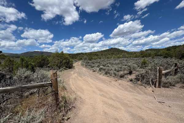
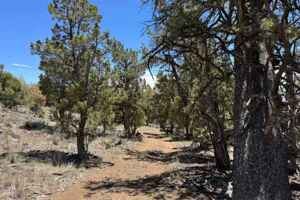
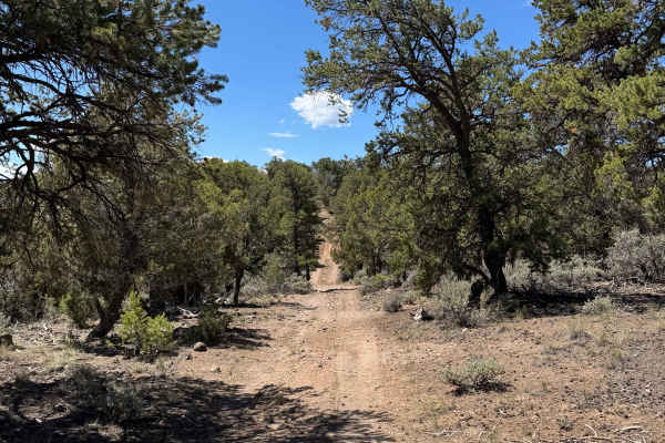
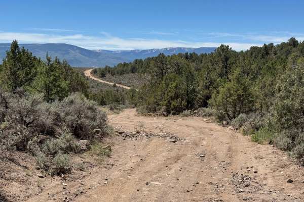
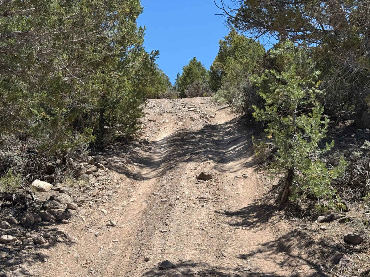
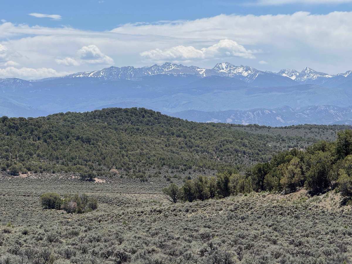
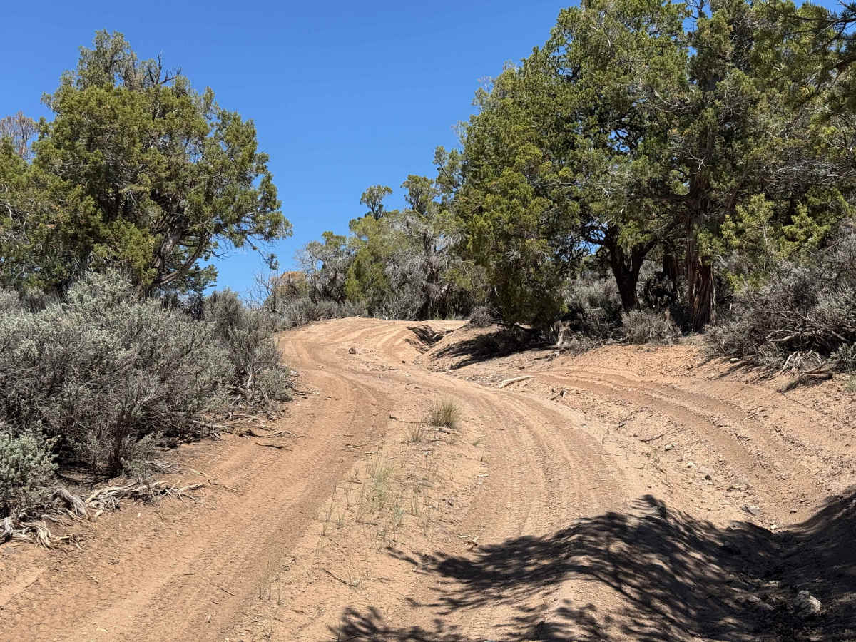
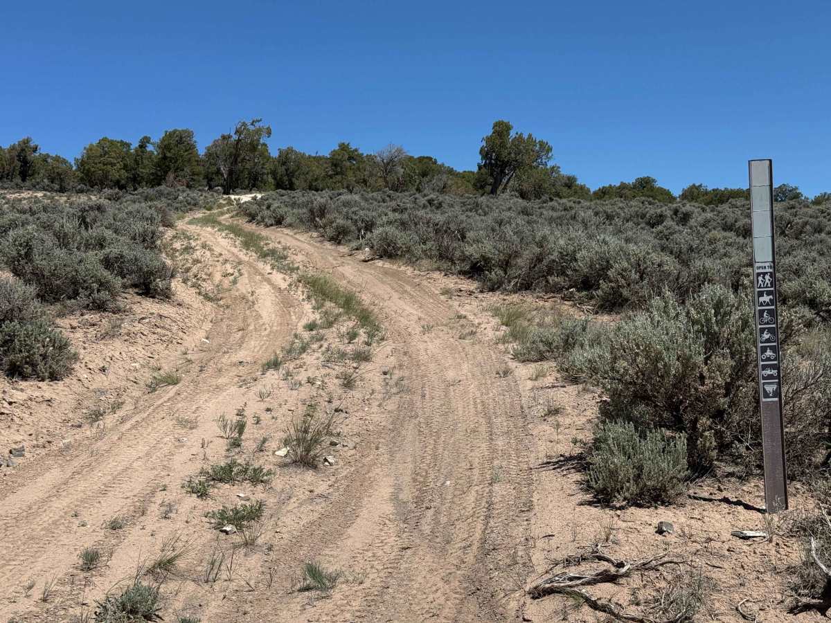
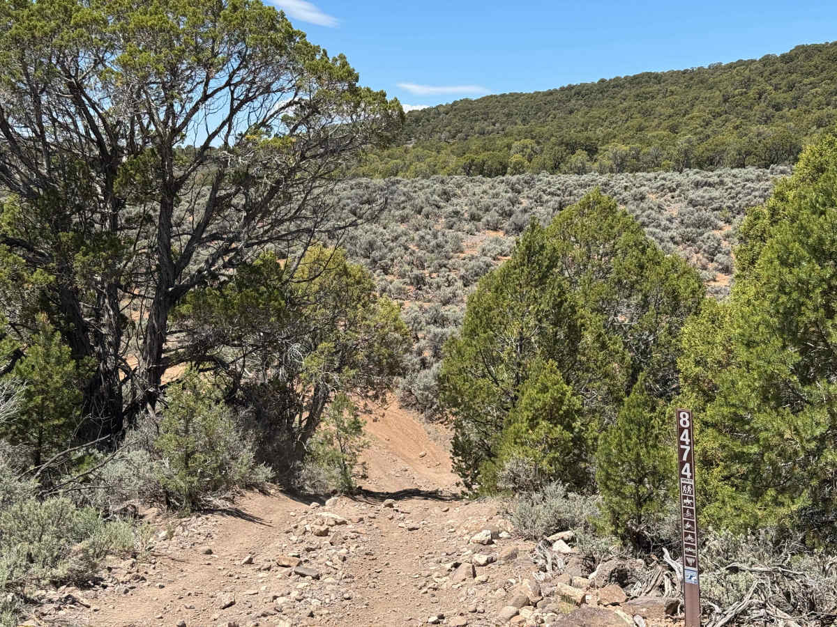
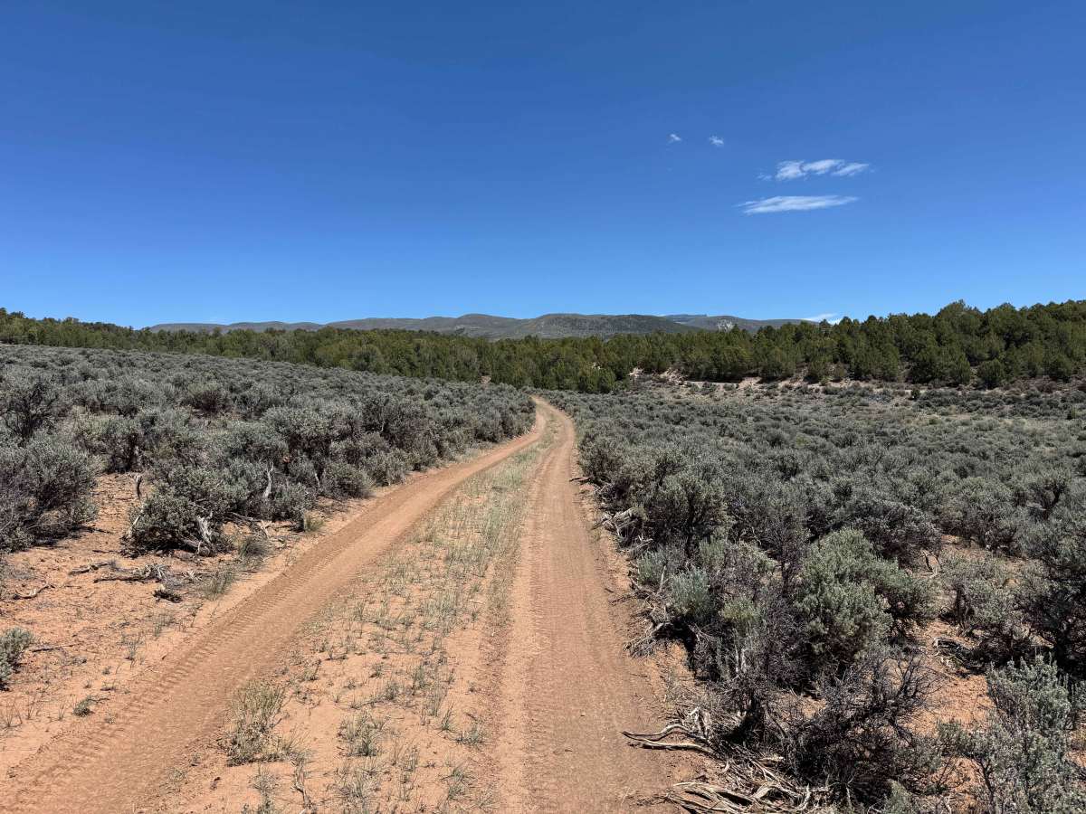
Beginning off Trail Gulch Road, this connector route links back to the northern segment of the same trail system, providing a shortcut that eliminates the need to pass through the section of Trail Gulch Road listed as private. While the trail is generally easy and sees less traffic than many nearby routes, it offers a quiet and scenic drive through high desert pine shrubs. Dispersed campsites can be found along the route, making it a good option for those looking to spend a night in the area. Drivers of full-size vehicles should be prepared for a few narrow sections where closely spaced trees and overhanging branches may limit clearance. When traveling from south to north, the final climb is the most challenging obstacle on the trail. This steep, rocky, and loose section requires 4WD and careful throttle control. Airing down tires is recommended to improve traction and reduce wheel spin on the ascent.
Difficulty
In dry conditions, this is a relatively easy trail with few significant obstacles. The most challenging section is located at the northern end of the route, where a steep climb covered in loose rock demands careful tire placement and adequate traction. This difficulty rating reflects dry conditions only. Following recent storms, snowmelt, or periods of prolonged wet weather, the trail can become substantially more difficult as traction decreases and muddy conditions develop, particularly on the steeper sections.

 Offroad