BLM 8480B

Total Miles1.9
Technical Rating
2Easy
Best TimeSummer
Trail TypeFull-Width Road
Accessible By
Open Trail Map

Trail Overview

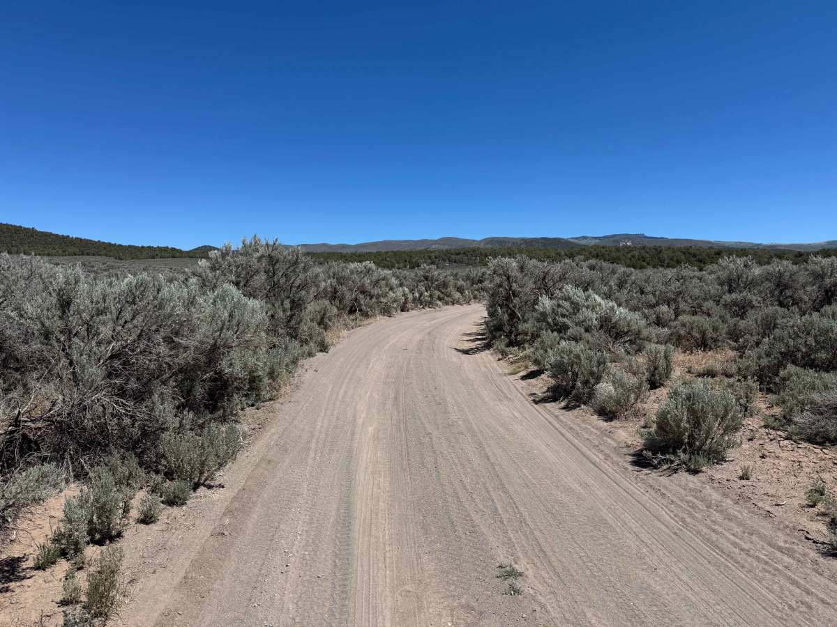
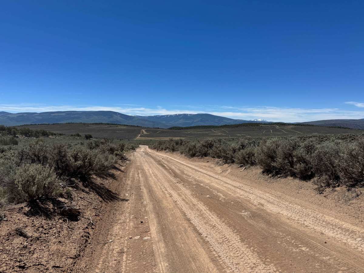
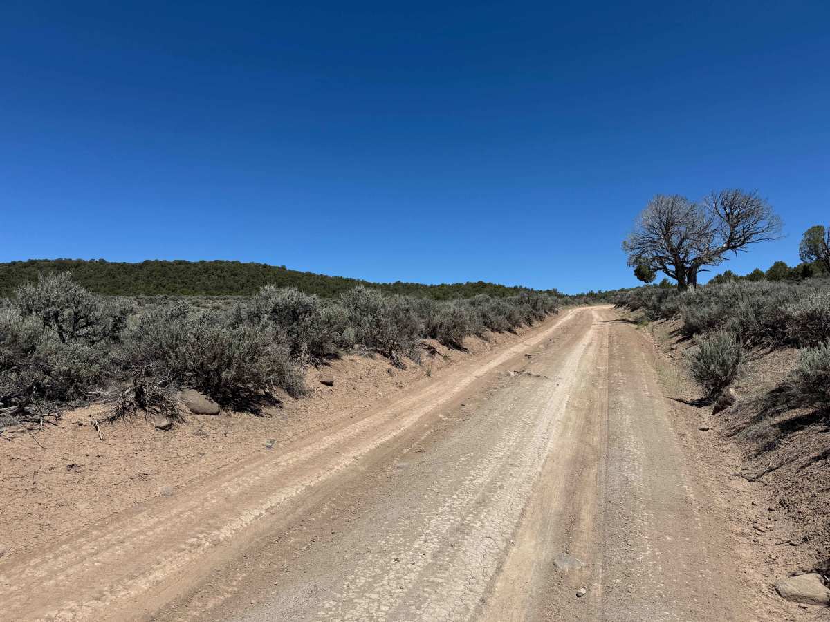
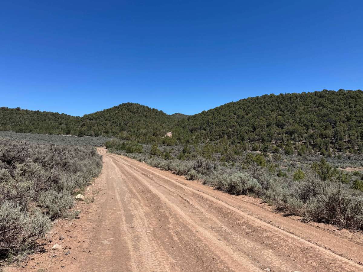
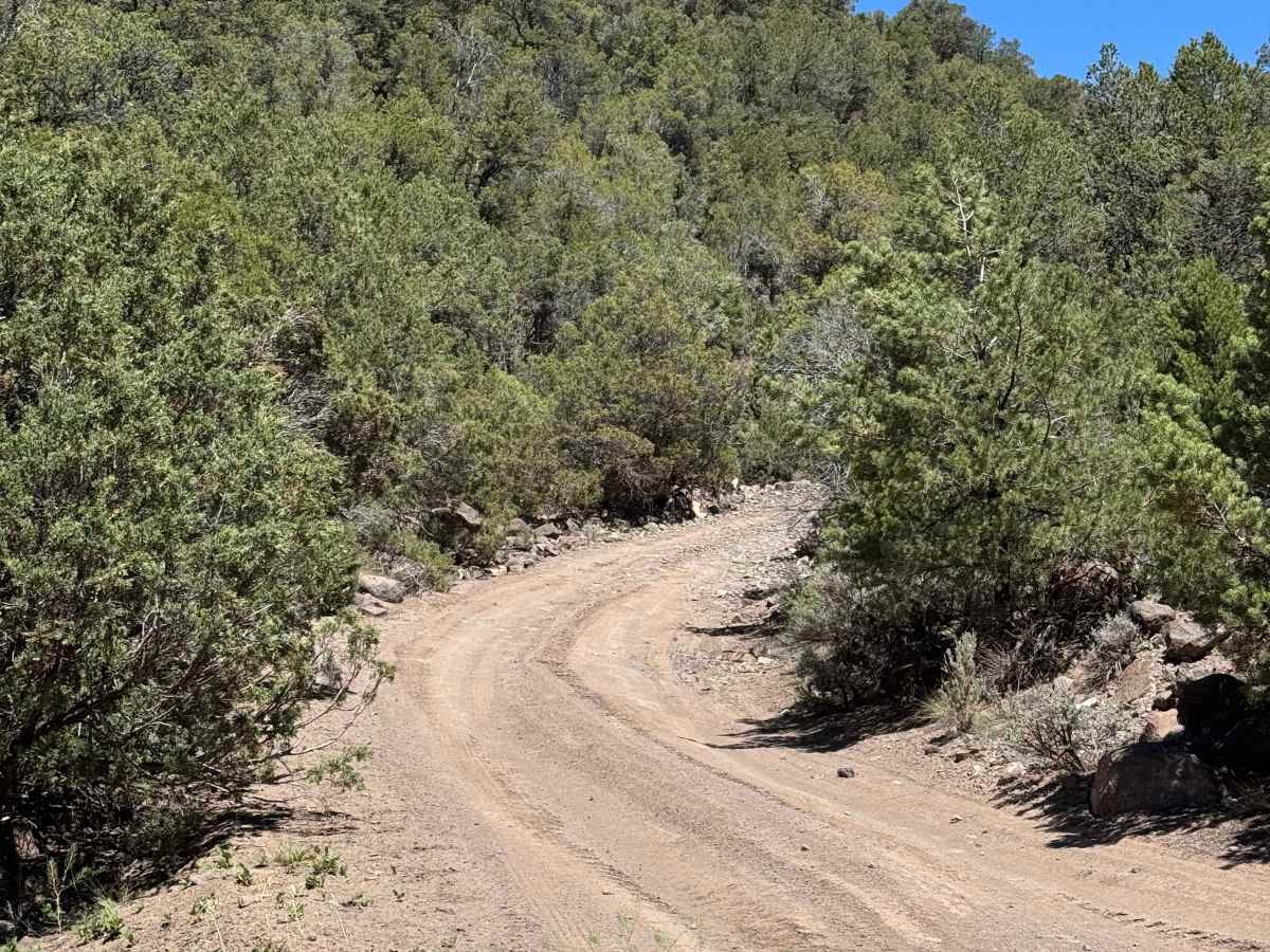
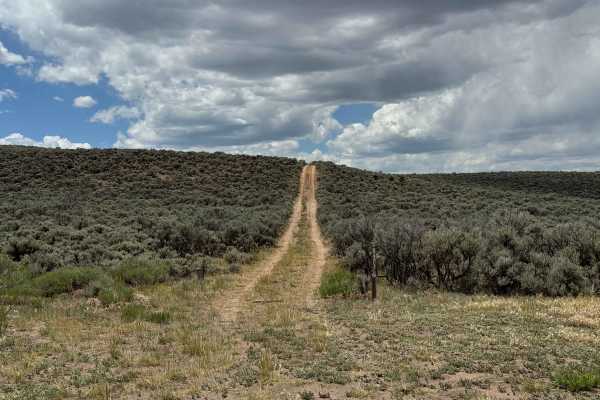
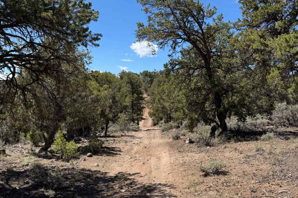
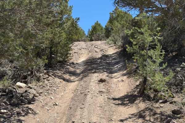
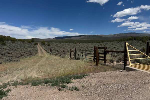
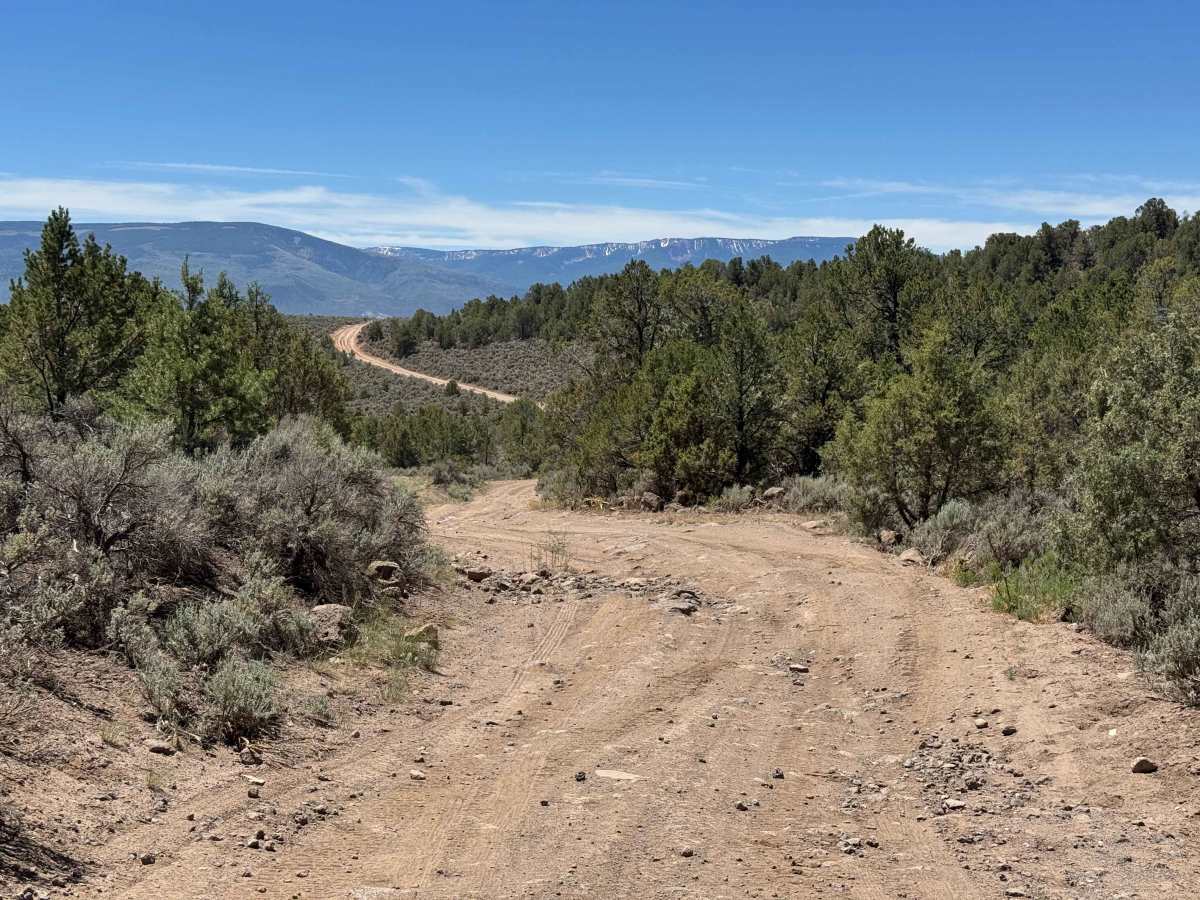
This route begins near private property and travels through rolling terrain before ending at 51 Road. The trail winds through stands of pine and dense shrubs, with occasional low-hanging branches that may brush larger vehicles. Along the way, drivers will encounter a few moderate inclines scattered with loose rock, but no major obstacles. In dry conditions, the route is generally easy to navigate and is suitable for most high-clearance vehicles, making it an enjoyable and scenic backcountry drive.

Photos of BLM 8480B

Difficulty

In dry conditions, this route presents very little difficulty and can typically be completed without the use of 4WD. As long as your vehicle has adequate ground clearance, the trail should be straightforward to navigate with no significant obstacles or technical challenges along the way.

Technical Rating

2

BLM 8480B Trail can be accessed by the following ride types:

  • Single Track
  • 50 Inch
  • 60 Inch
  • High Clearance
  • Full Width

BLM 8480B Map

The onX Offroad Difference

onX Offroad combines trail photos, descriptions, difficulty ratings, width restrictions, seasonality, and more in a user-friendly interface. Available on all devices, with offline access and full compatibility with CarPlay and Android Auto. Discover what you're missing today!

Open Trail Map