Trail Overview
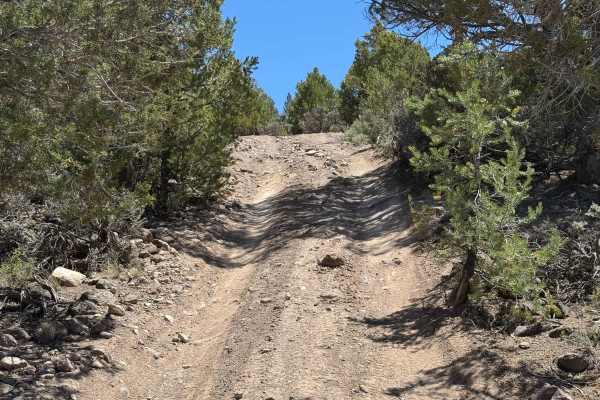
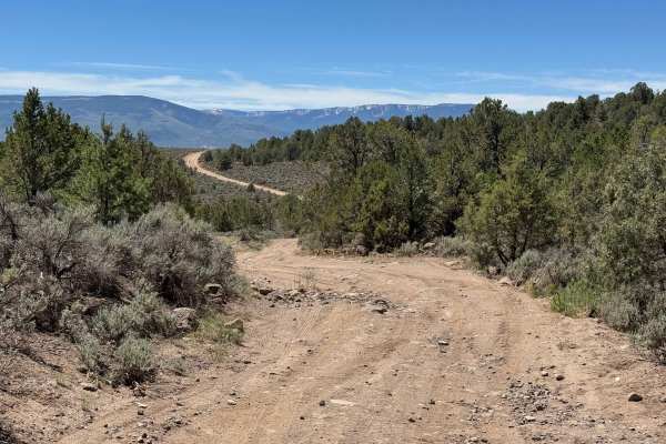
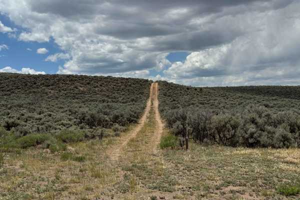
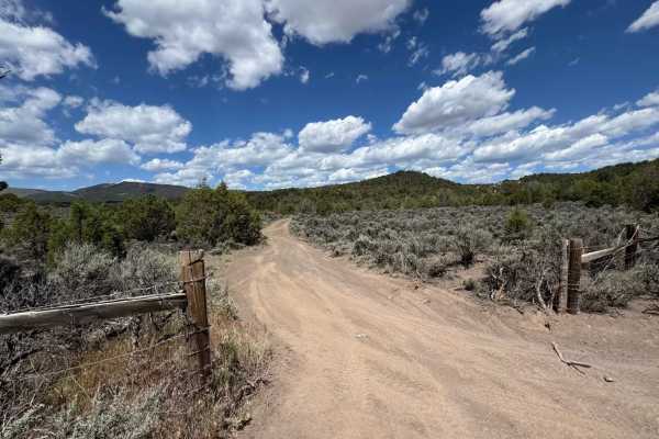
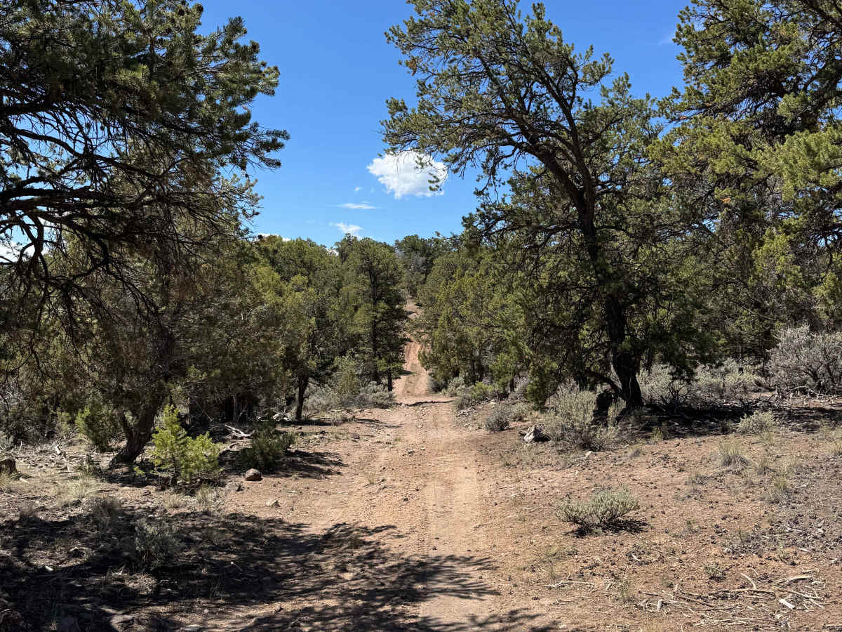
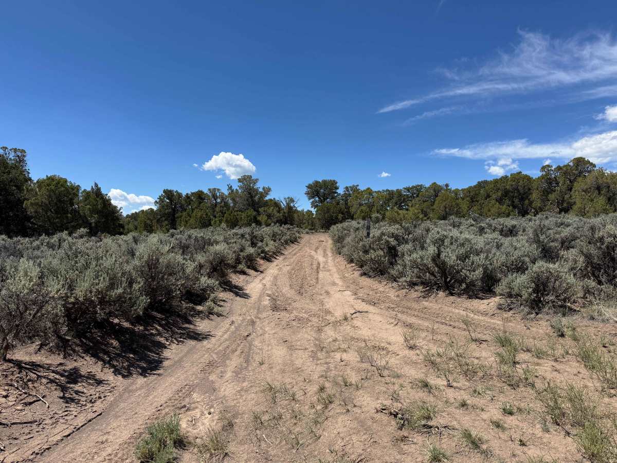
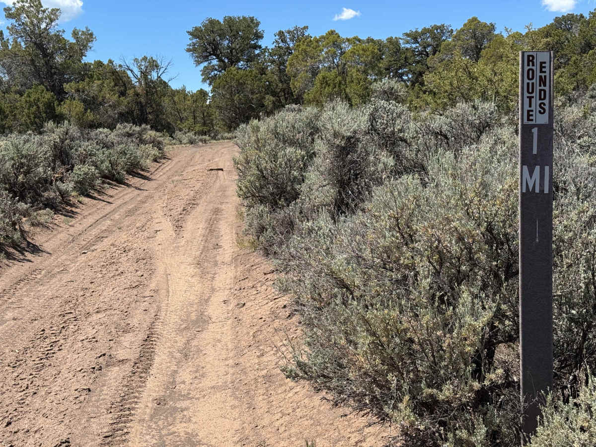
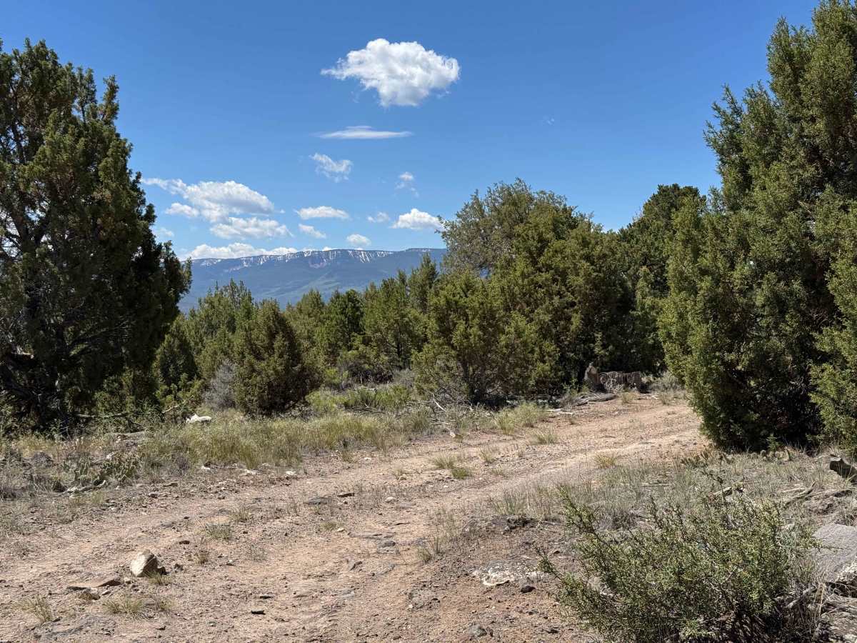
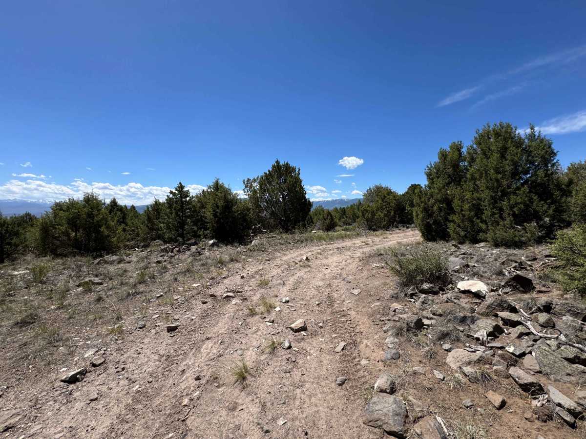
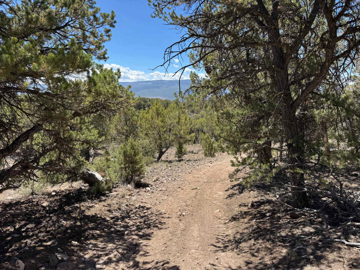
Beginning off BLM Road 8473, this two-track route winds through a scenic pinyon-juniper high-desert ecosystem, with portions of the trail enclosed by dense vegetation that create a tunnel-like driving experience. Several dispersed campsites are located along the route and near its turnaround point, making it a good option for an overnight stay. While the trail is not particularly difficult in dry conditions, drivers will encounter a few steep, off-camber sections with rain ruts where careful tire placement is important. There are also several chunky, rocky stretches where airing down tires can improve both traction and ride quality. This out-and-back route ends before reaching the mine property boundary and provides a pleasant mix of scenery, camping opportunities, and moderate off-road driving.
Difficulty
This is not a particularly difficult route in dry conditions. With properly aired-down tires, many drivers may find that engaging 4WD is unnecessary. There are, however, a few off-camber sections featuring deeper ruts on both climbs and descents where careful tire placement is important. Fortunately, these obstacles are short and do not persist for long distances. Drivers of full-size vehicles may encounter some brush and overhanging branches that could result in minor pinstriping. Otherwise, the route is relatively clean and straightforward, making for an enjoyable and scenic drive.

 Offroad