Trail Overview
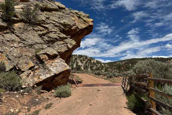
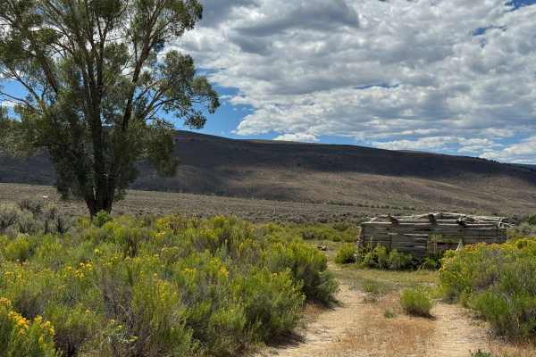
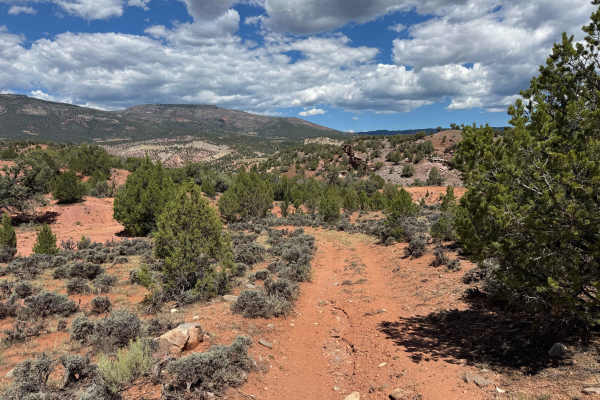
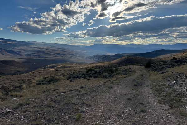
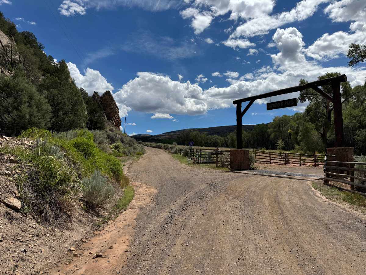
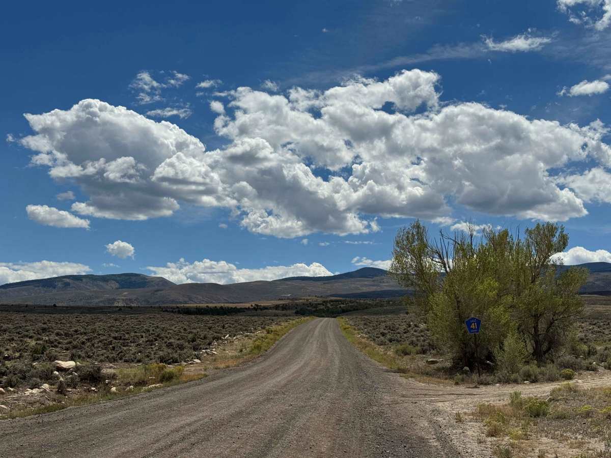
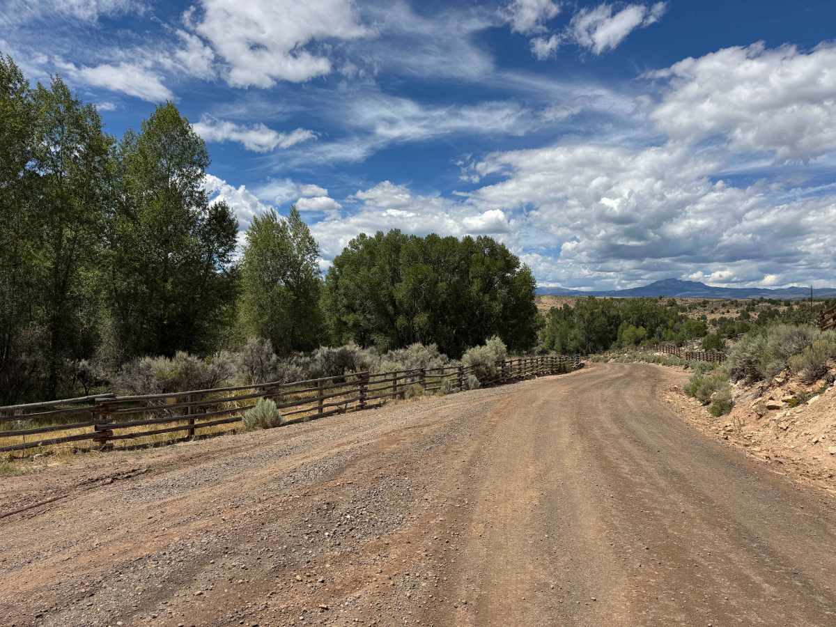
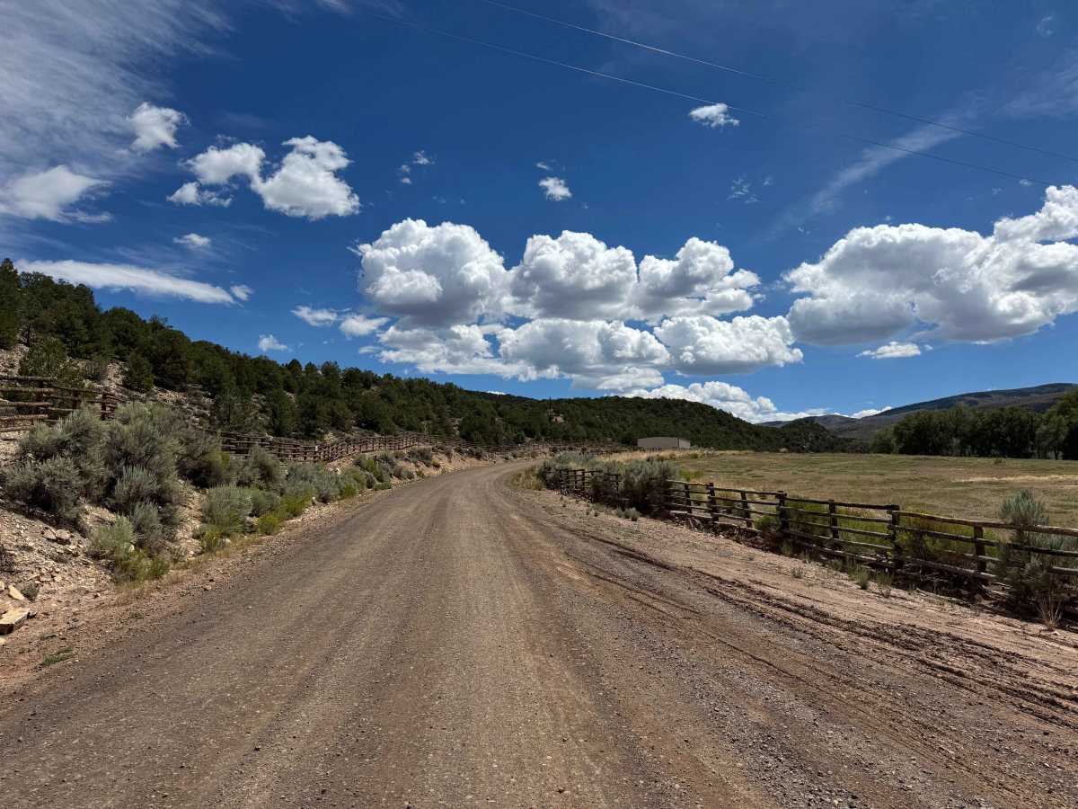
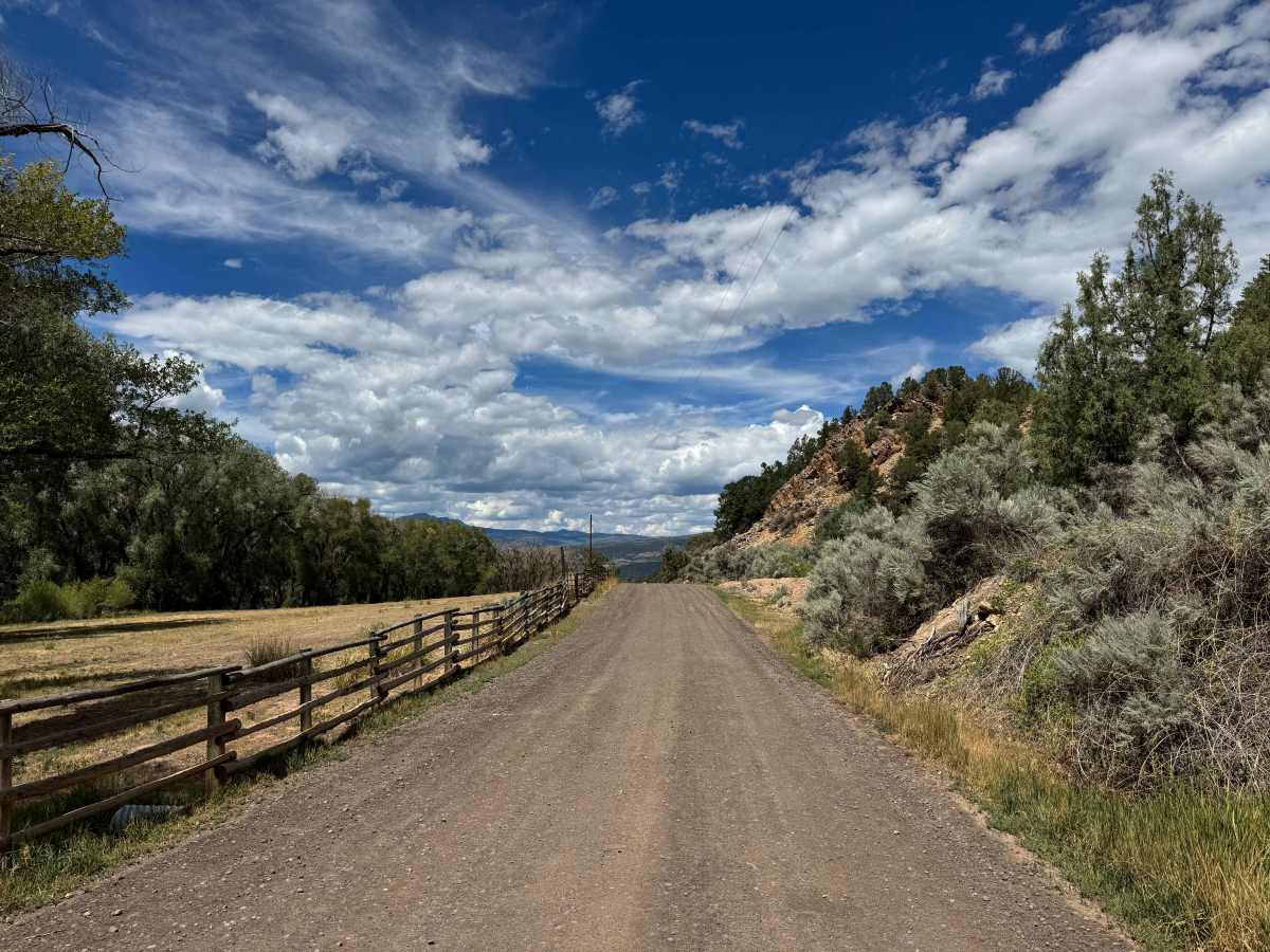
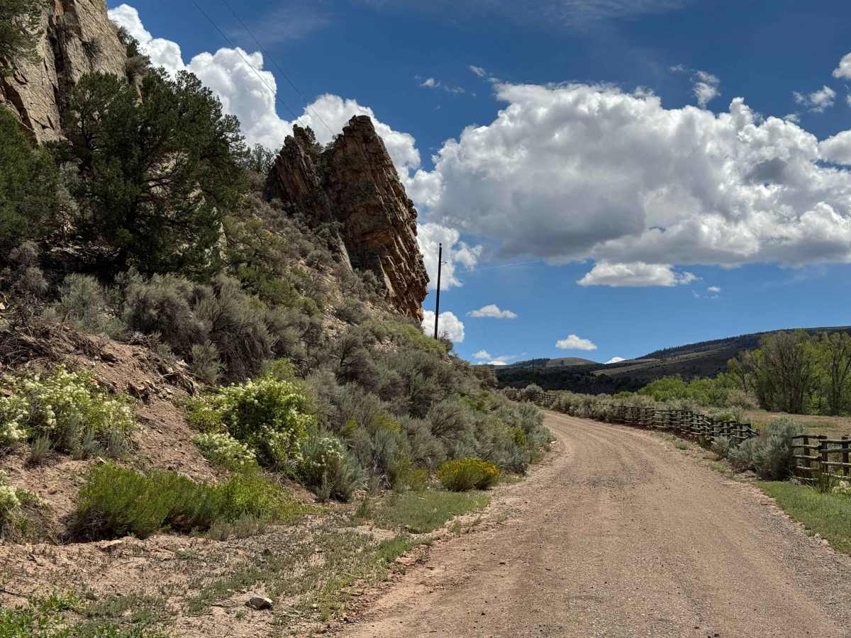
Beginning near the Colorado River, this county-maintained road provides access toward the Pisgah Mountain trailhead and the network of motorized trails in the surrounding area. The route is an enjoyable, relatively flat drive along a well-maintained gravel road that passes through beautiful ranch country and open western Colorado scenery. At this lower elevation, the landscape is dominated by sagebrush, with expansive views of the surrounding hills and mountains. As is common with county roads in this region, the public road eventually ends at the entrance to Diamond C Ranch, which is private property. However, a BLM road begins in this vicinity, providing continued access into public lands and placing you only a few hundred yards from the first non-motorized trailhead in the area.
Difficulty
This is a relatively easy, well-maintained road that should be accessible to most vehicles with reasonable ground clearance. The surface is generally smooth and in good condition, making it an enjoyable route for a variety of vehicles.
History
Pisgah Mountain rises to about 8,720 feet in northern Eagle County near McCoy, overlooking a rugged landscape of piñon-juniper forests, sagebrush, rocky ridges, and the Colorado River corridor. The area has a remarkably long human history, with archaeological evidence showing that Ute people traveled through and used the Pisgah Mountain region for generations. One of the most significant discoveries is the Pisgah Mountain Wickiup Village, a large archaeological site containing numerous wooden structures and artifacts that researchers have identified as a protohistoric Ute settlement dating to around 1853. Earlier Ute trails in the surrounding area also show that this landscape was part of an extensive travel network long before modern roads and ranches. Later, the McCoy area became associated with ranching, timber, mining, and the railroad, giving the Pisgah Mountain region a history that stretches from ancient Indigenous travel routes to the modern rural communities of northern Eagle County. (Dargnet)