Trail Overview
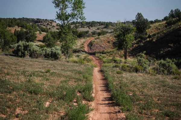
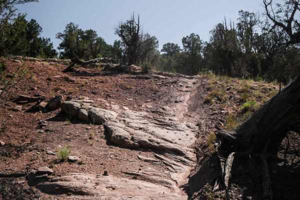
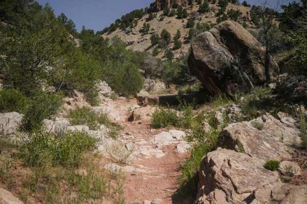
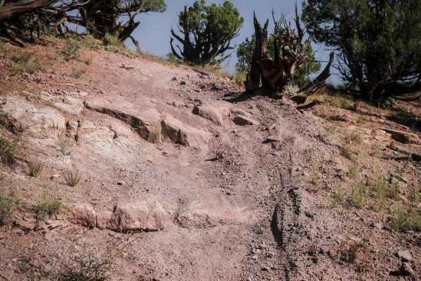
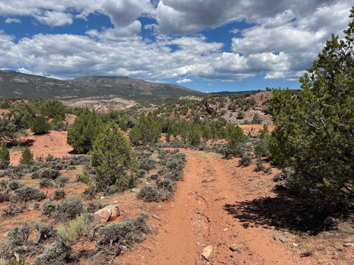
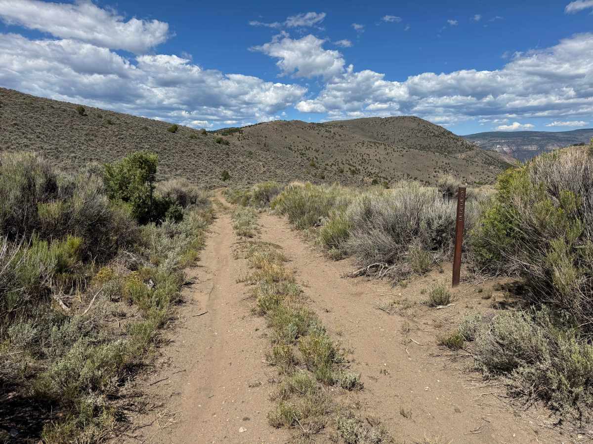
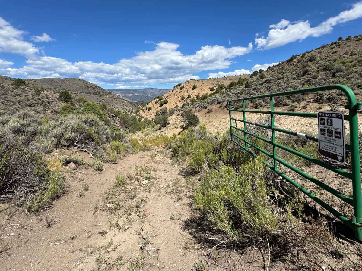
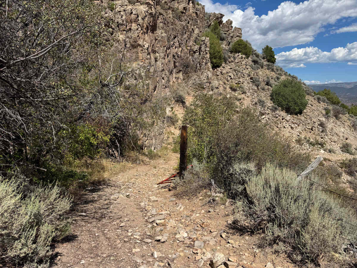
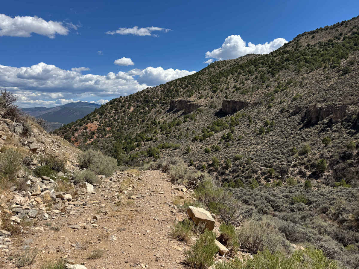
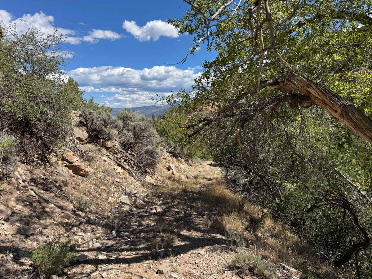
As you drop onto this trail, it quickly becomes apparent that you are about to descend deep into a remote valley, losing significant elevation in a relatively short distance. The route begins calmly, with impressive views that only become more dramatic as you continue. After passing through the green gate and navigating a few turns, the trail transitions into a steep descent over loose rock, and this is where careful consideration of your vehicle and conditions becomes important. Although the route is legally open to full-size trucks and most motorized vehicles, some sections may be challenging for larger rigs, particularly where fallen trees or overgrown vegetation can restrict passage. The descent includes roughly six or seven rocky chutes, with the lower sections being the steepest. Once through the rock chutes, the trail becomes considerably more enjoyable, winding along the canyon with smooth red dirt, dramatic scenery, and several deep cross-ruts that require careful wheel placement. As you work your way toward the spring, occasional rocks and steep transitions add some technical interest, but most of the route remains relatively smooth. The trail eventually reaches a turnaround area overlooking Balanced Rock Spring in the distance.
Difficulty
Even in dry conditions, this trail is definitely challenging and requires a properly equipped vehicle and experienced driver. You should be prepared to air down your tires, use 4WD low range, and carry adequate recovery equipment and tire-repair supplies. Shortly after dropping onto the route, you’ll encounter a series of very steep rock chutes covered in loose rocks, many of them baseball-sized or larger. The chutes become progressively steeper as you descend, with more than half a mile of this difficult terrain to navigate. Vehicle size is an important consideration here, with smaller, high-clearance vehicles generally having a significant advantage. Keep in mind that everything you descend must eventually be climbed back up, and the steep rock chutes will likely be the most difficult part of the return trip. Once you clear the steep canyon section, the terrain transitions to red soil and rolling hills, where numerous deep cross-ruts—some exceeding 18 inches—require careful approach and departure angles. A few dry arroyos must also be crossed, but under dry conditions they are generally straightforward. From there, the route becomes considerably smoother and less technical. In the event of a problem on the return, there may be an emergency bailout option, although that route crosses several private properties before reconnecting with Highway 131 and should not be considered an approved alternative without verifying access.
History
Pisgah Mountain rises to about 8,720 feet in northern Eagle County near McCoy, overlooking a rugged landscape of piñon-juniper forests, sagebrush, rocky ridges, and the Colorado River corridor. The area has a remarkably long human history, with archaeological evidence showing that Ute people traveled through and used the Pisgah Mountain region for generations. One of the most significant discoveries is the Pisgah Mountain Wickiup Village, a large archaeological site containing numerous wooden structures and artifacts that researchers have identified as a protohistoric Ute settlement dating to around 1853. Earlier Ute trails in the surrounding area also show that this landscape was part of an extensive travel network long before modern roads and ranches. Later, the McCoy area became associated with ranching, timber, mining, and the railroad, giving the Pisgah Mountain region a history that stretches from ancient Indigenous travel routes to the modern rural communities of northern Eagle County.