Trail Overview
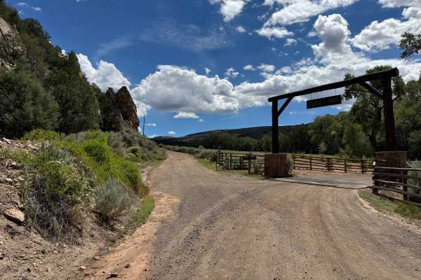
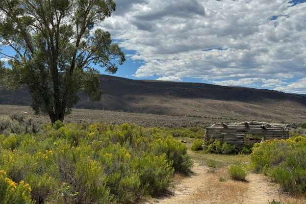
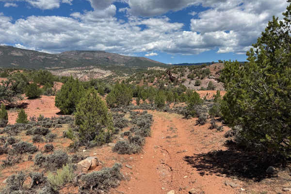
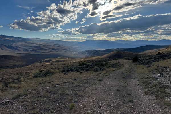
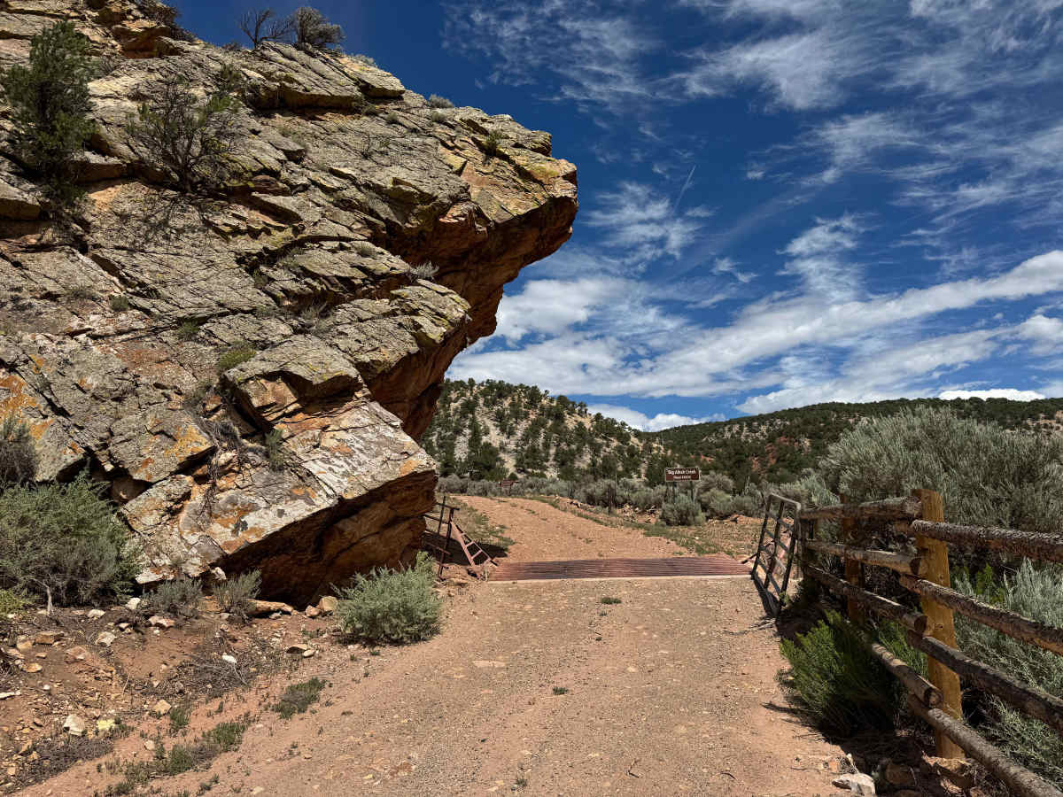
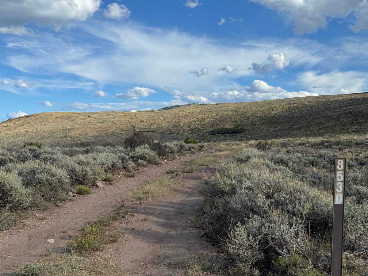
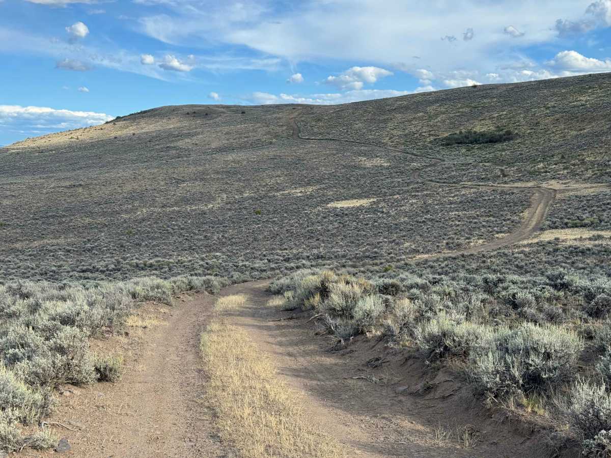
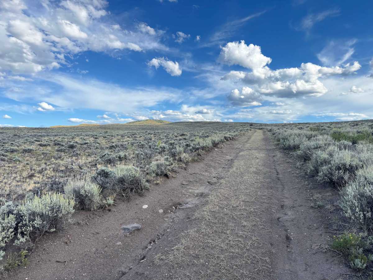
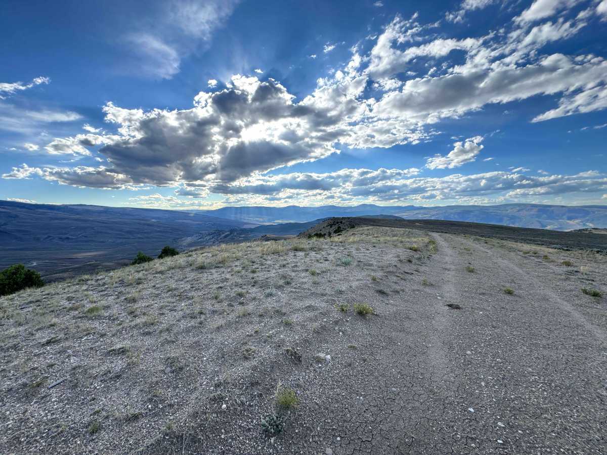
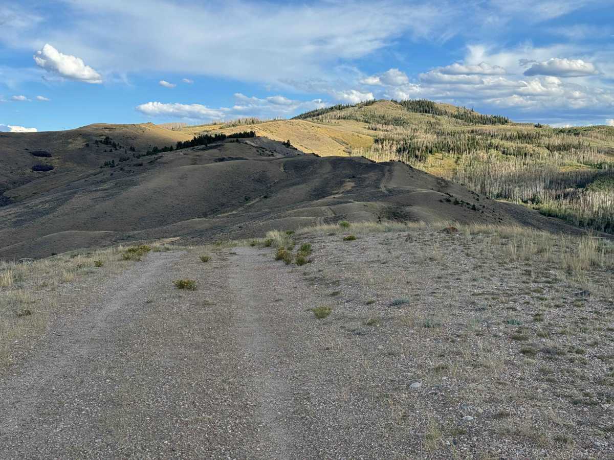
This is the main route through the area, climbing from the lower valley toward the highest accessible point, with numerous spur routes branching off along the way. Overall, it is not a particularly difficult road, although several areas require attention, including deep ruts, seasonal water crossings, mud holes, and a few soft sections created by recent flooding. Careful tire placement is important, especially where the road surface has been eroded or softened. As the route climbs, it winds steadily through increasingly scenic terrain, and after a couple of miles you’ll find several excellent dispersed camping sites offering impressive 360-degree views. The scenery continues to change throughout the climb, with expansive views toward the Colorado River Valley in some sections and higher mountain ranges in others. Every turn seems to reveal a different perspective, making this a particularly enjoyable route despite its relatively easy nature. 4WD vehicles are recommended, although you may not need to engage 4WD except in the deeper ruts, mud, or softer sections. The route ultimately ends at a closed gate on private property before reaching Windy Point.
Difficulty
This is not an especially difficult trail in dry conditions, but it does require some attention to tire placement, particularly through the deeper ruts. There are also a few washout sections where runoff has eroded portions of the road, leaving the trail narrower than normal, especially around some of the corners. These areas should be approached slowly and carefully, with enough attention to line selection to keep all four tires on stable ground. Aside from the ruts and occasional washouts, the route is relatively straightforward and should be manageable for a properly equipped vehicle when conditions are dry.
History
Pisgah Mountain rises to about 8,720 feet in northern Eagle County near McCoy, overlooking a rugged landscape of piñon-juniper forests, sagebrush, rocky ridges, and the Colorado River corridor. The area has a remarkably long human history, with archaeological evidence showing that Ute people traveled through and used the Pisgah Mountain region for generations. One of the most significant discoveries is the Pisgah Mountain Wickiup Village, a large archaeological site containing numerous wooden structures and artifacts that researchers have identified as a protohistoric Ute settlement dating to around 1853. Earlier Ute trails in the surrounding area also show that this landscape was part of an extensive travel network long before modern roads and ranches. Later, the McCoy area became associated with ranching, timber, mining, and the railroad, giving the Pisgah Mountain region a history that stretches from ancient Indigenous travel routes to the modern rural communities of northern Eagle County. (Dargnet)