Trail Overview
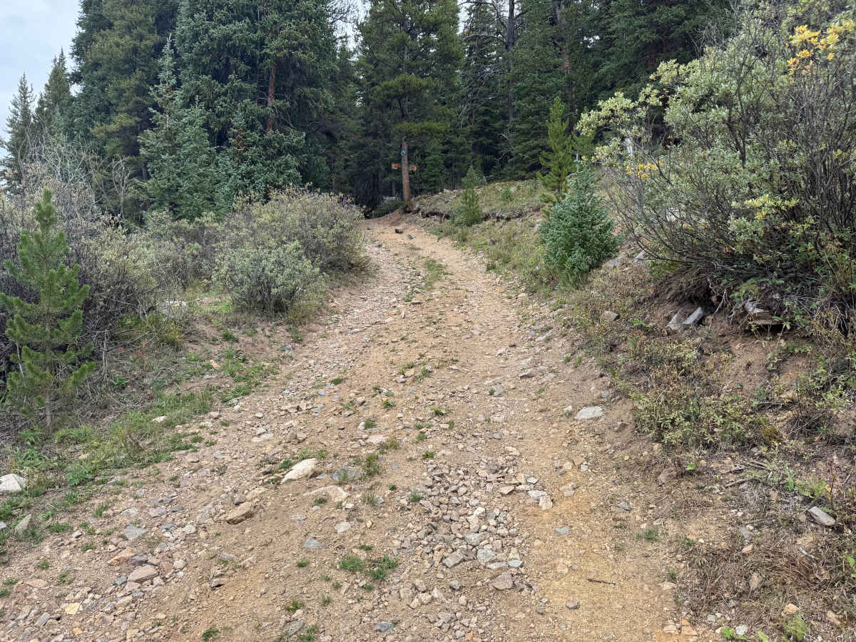
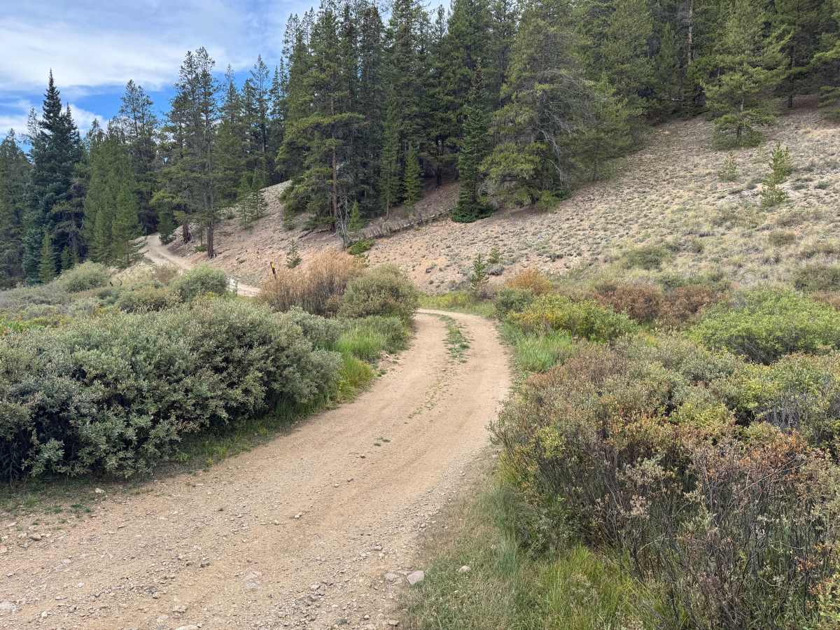
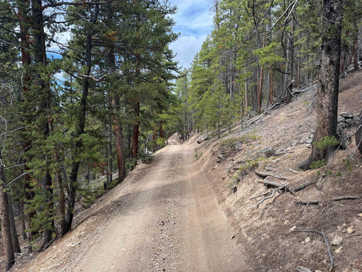
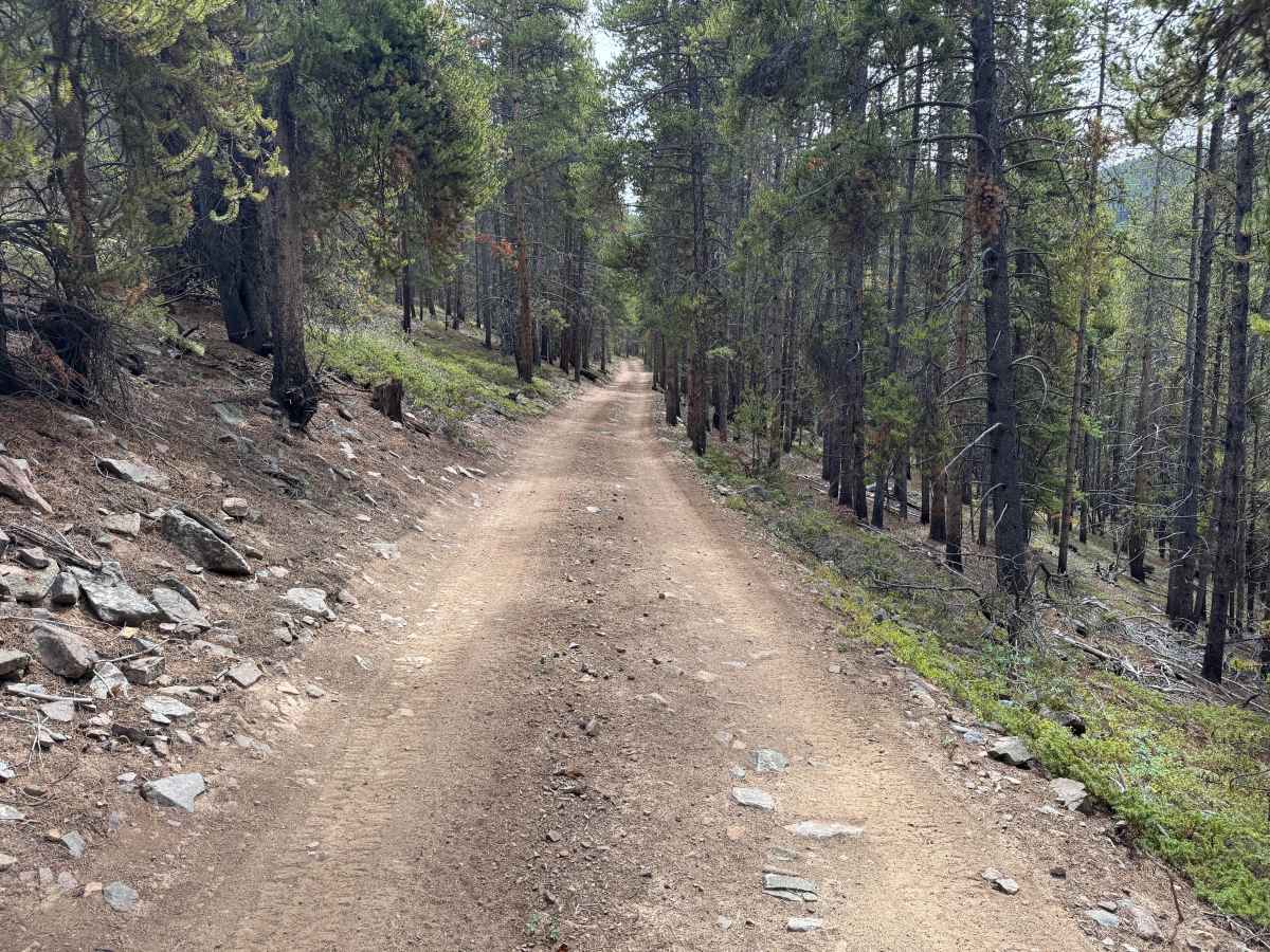
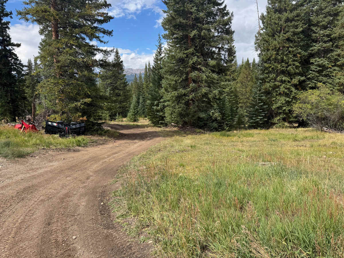
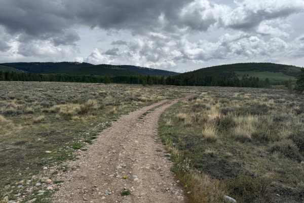
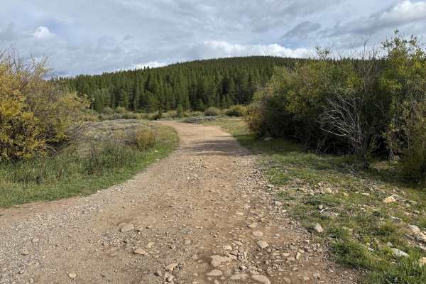
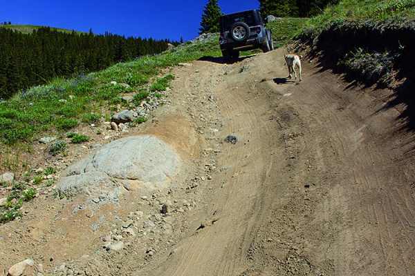
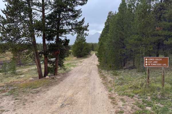
This is a through route that connects with East Tennessee and travels through a mix of dense forest and more open mountain terrain before ending near Cooper Ski Resort. The trail surface is primarily packed dirt with sections of loose rock, embedded rock, and scattered gravel. There are no major technical obstacles, but expect occasional whoops, dips, potholes, and rougher rocky sections. Much of the route is only wide enough for one vehicle, with limited room to pass in some areas. The trail winds through thick pine and spruce forest, with sections bordered by willows, low brush, and grassy meadows. Portions travel along hillsides where the terrain drops away from the road, while other sections open into wider clearings. Rental yurts are located along the route, so watch for people, children, and pets near these areas.
Difficulty
Loose and embedded rocks, shallow potholes, dips, and whoops create an uneven surface. Narrow sections can limit tire placement, while wet conditions may increase rutting and mud.
History
The mountains north of Leadville have a long history connected to mining, transportation, logging, and early settlement. Tennessee Pass became an important transportation corridor through the mountains, while mining activity throughout the Leadville region resulted in numerous roads being constructed to reach mines, claims, camps, and other industrial sites. Railroads also played an important role in moving people, supplies, and ore through the region. Remnants of old roads, mine workings, structures, and other historic sites can still be encountered throughout the surrounding mountains.