Trail Overview
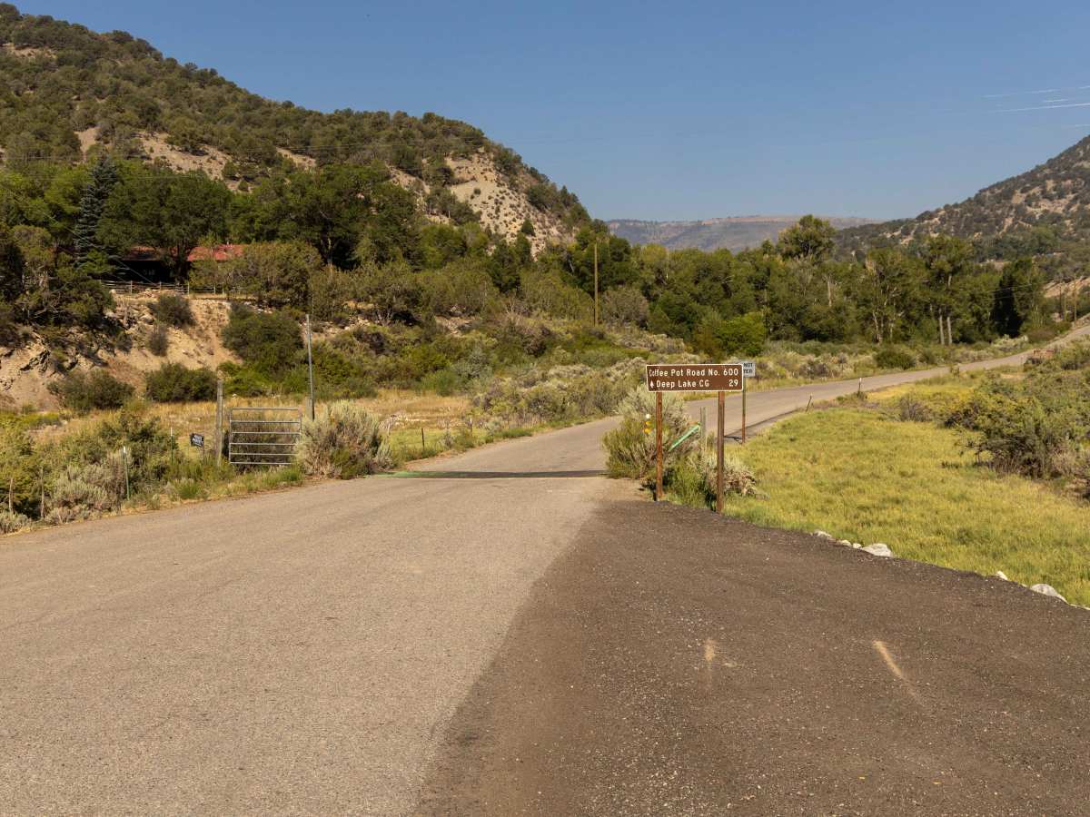
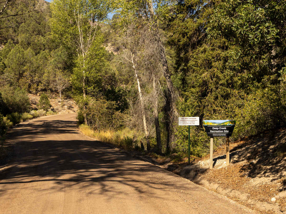
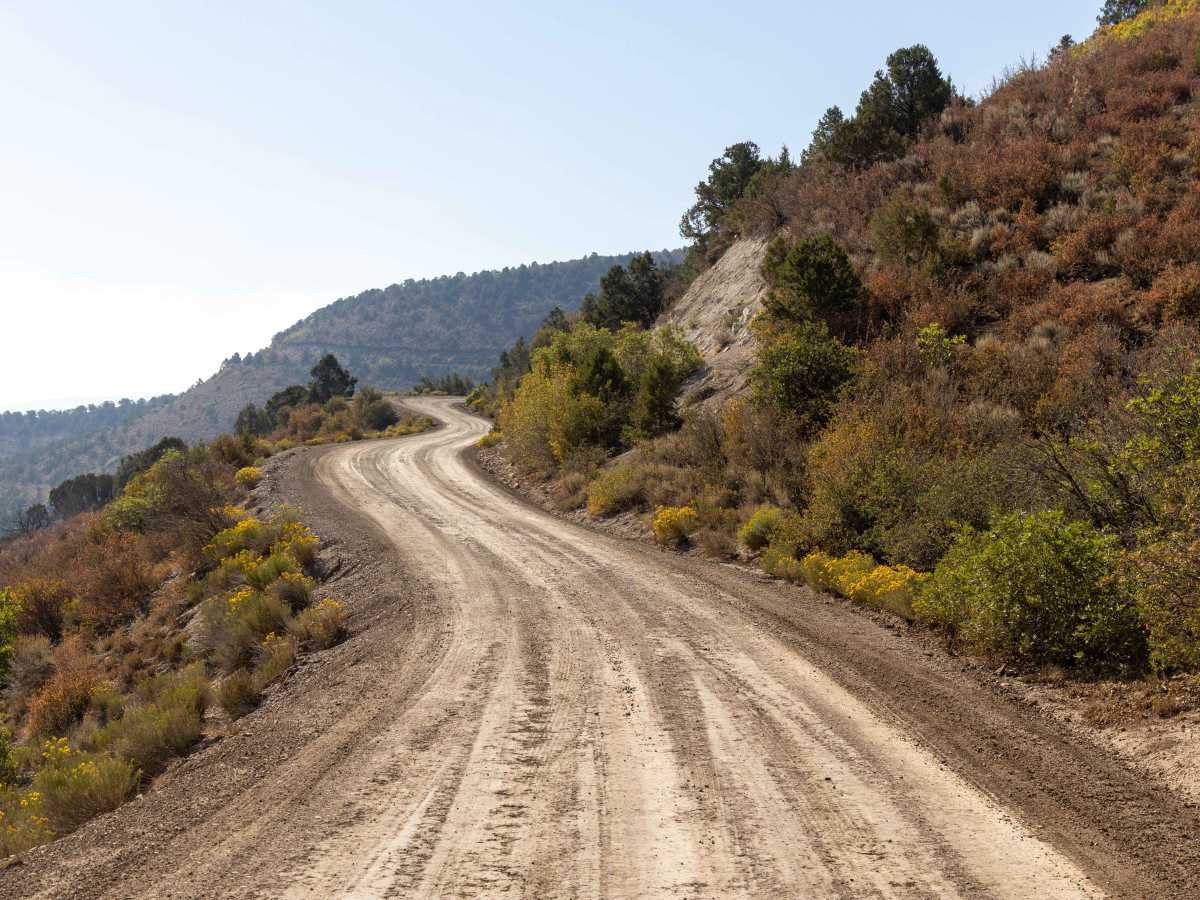
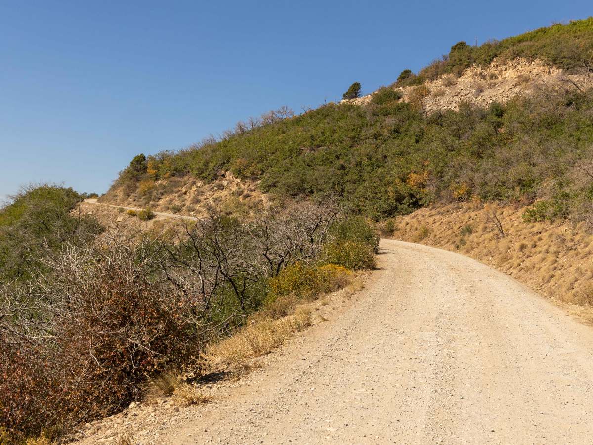
Coffee Pot Road is an easy, well-graded gravel route that generally offers smooth travel until the last stretch. As you near the top, the surface becomes rougher with occasional washboard sections. The road includes several blind corners and switchbacks—driving with caution and awareness of oncoming traffic is wise. There are no obstacles to navigate, making the route accessible for most vehicles. Dispersed camping spots and the popular Deep Lake Campground lie at the summit, providing excellent opportunities to break out the tent or relax lakeside. Careful defensive driving is advised due to narrowness and drop-offs, especially in the forested switchback segment.
Difficulty
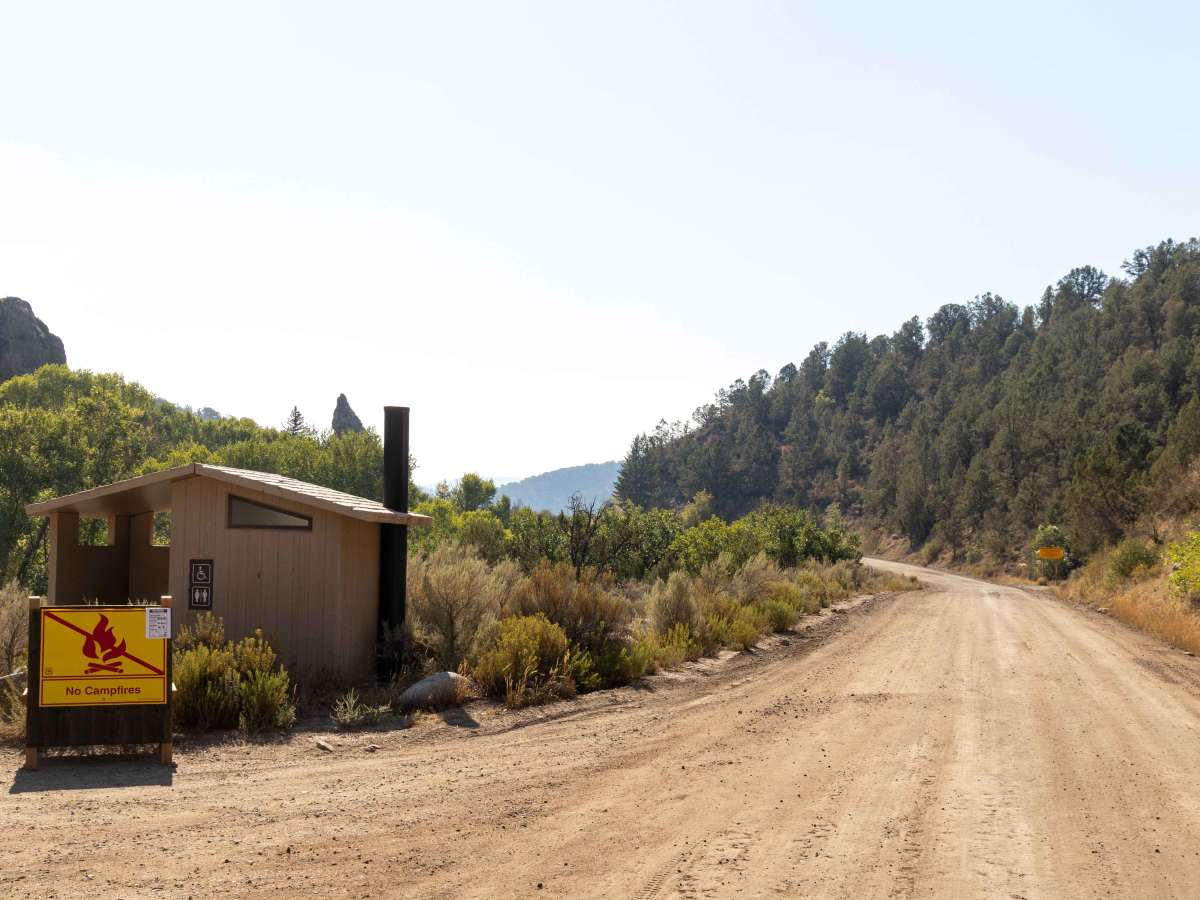
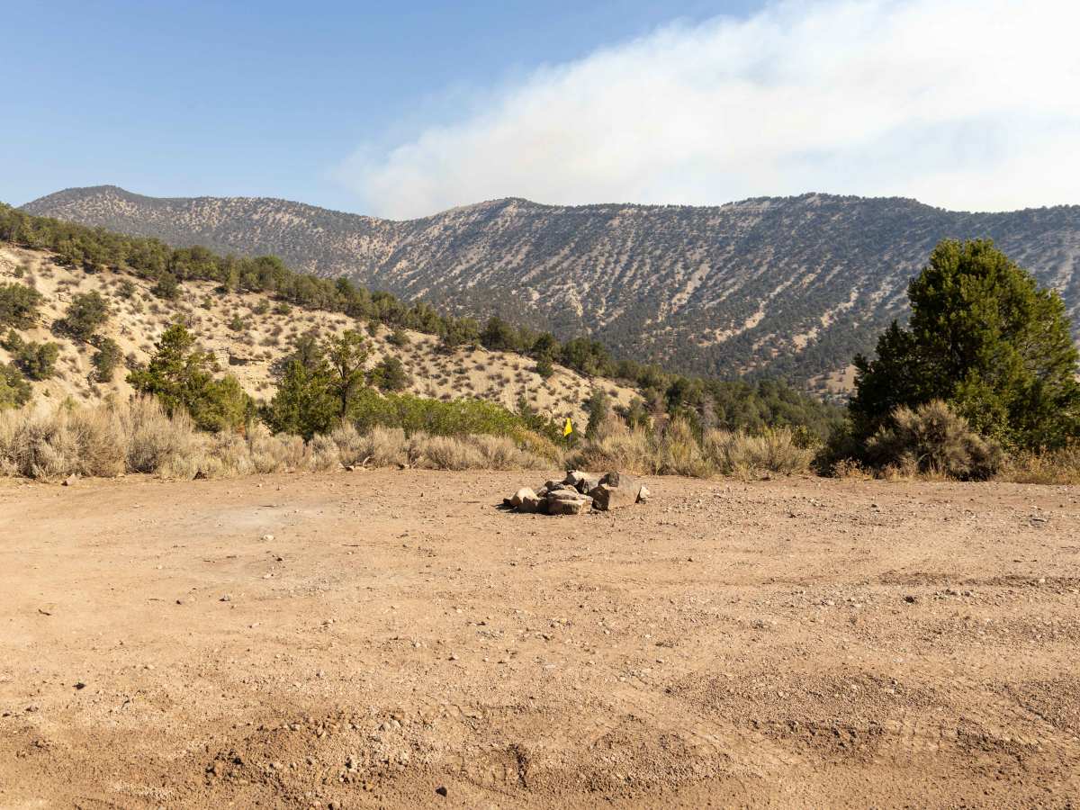
This road is semi-maintained and has no obstacles on it. There are plenty of places to pass, as well as some campsites along, some with primitive rock fire rings. Please check local, county, and fire regulations before you have a fire, as this area is prone to large and uncontrollable wildfires.
History
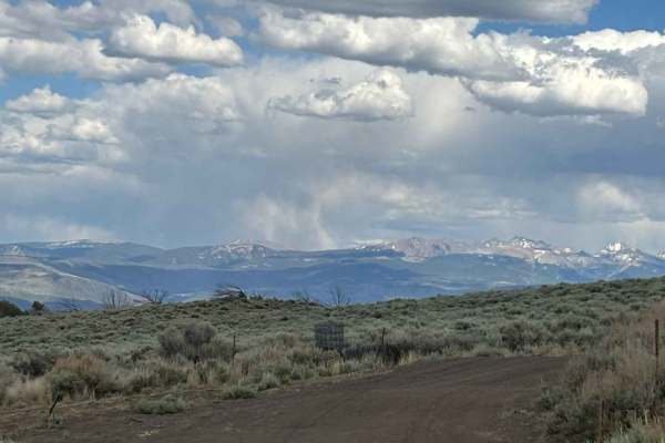
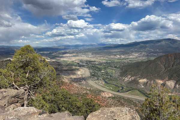
Coffee Pot Road spans nearly 30 miles from the Colorado River near Dotsero up to Deep Lake on the southern edge of the Flat Tops Plateau within the White River National Forest. It climbs through sagebrush and pinyon-juniper zones into aspen groves before opening into alpine meadows and spruce-fir forests closer to the top. Pull-outs along the way offer sweeping views of Eagle Valley, the Colorado River corridor, and Glenwood Canyon. The Deep Creek Overlook—located about 15 miles up—provides a dramatic vantage point over Deep Creek Canyon, which plunges 2,300 feet below; geologists estimate the canyon formed over 350 million years ago. At the top, Deep Lake Campground offers a developed area with vault toilets, gravel tent pads, and trout fishing opportunities in the lake—setting the stage for high-country camping or hikes into the nearby Flat Tops Wilderness.