Trail Overview
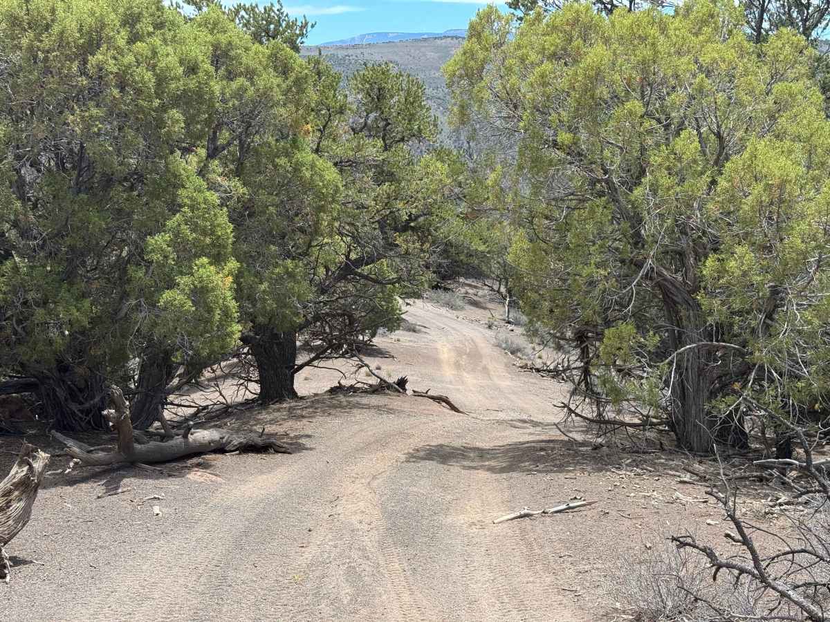
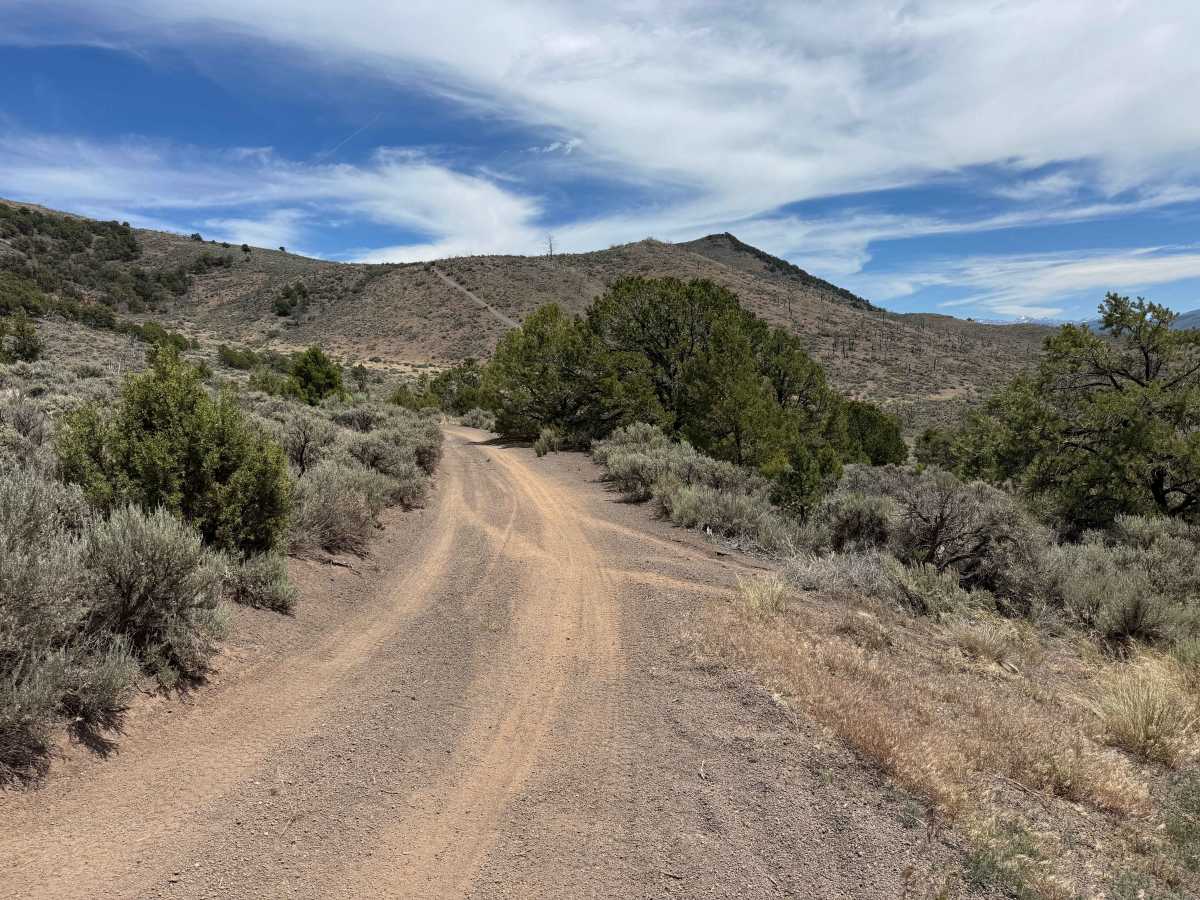
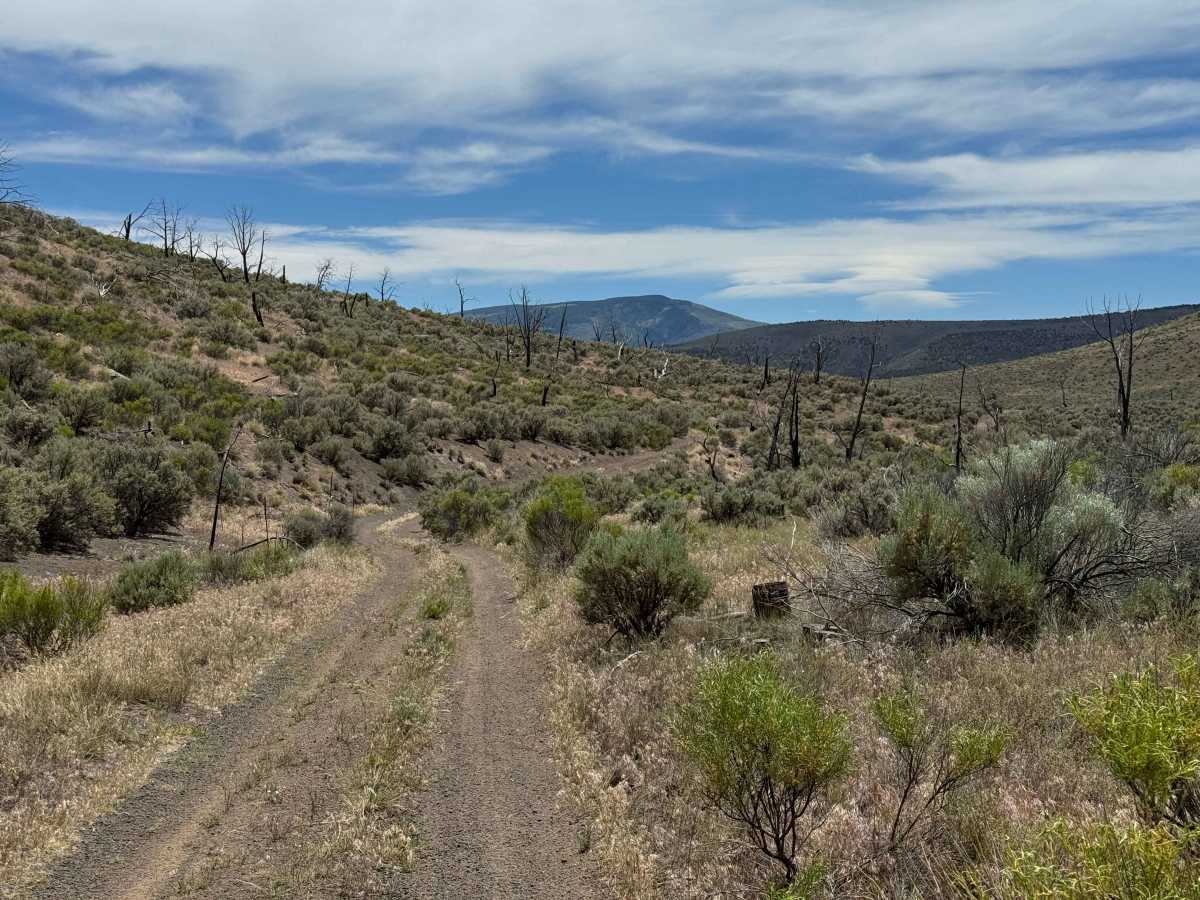
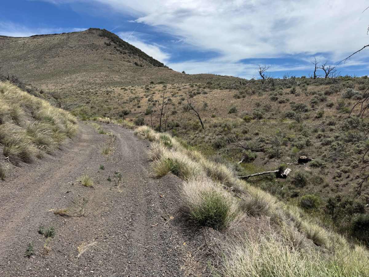
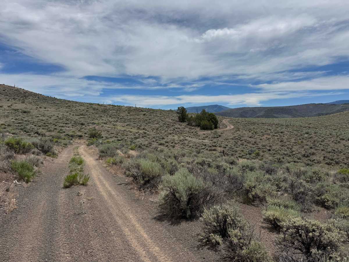
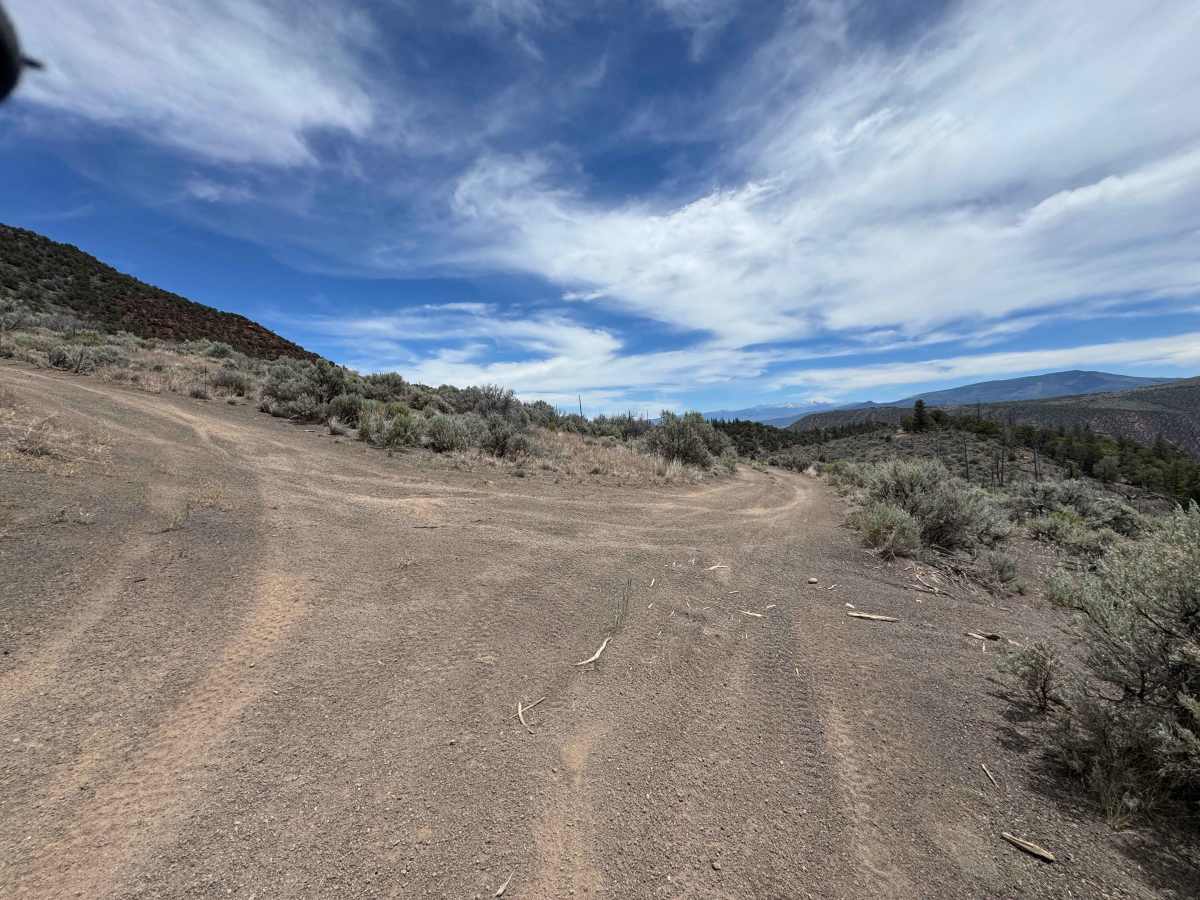
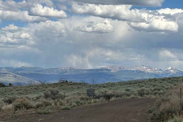
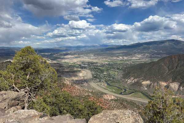
Although this is a relatively short out-and-back route, it offers an outstanding off-road experience and is well worth the drive. The main trail is not overly difficult, though several side routes branch off along the way and feature steeper climbs that may present a greater challenge. The route traverses a mix of shelf roads and softer sections that are generally manageable for most 4WD vehicles, but motorcyclists should use caution as some ruts contain deep, loose soil that can be difficult to navigate. There is also one significant dip that may hold water following rain or snowmelt. The trail concludes with a descent into one of the area’s most scenic campsites, perched atop a cliff with impressive views of the surrounding landscape.
Difficulty
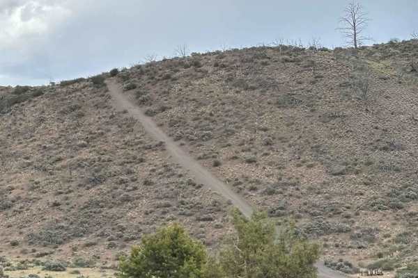
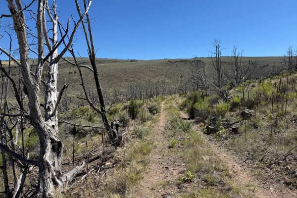
Although this route is not particularly difficult in dry conditions, much of the trail contains ruts filled with deep, soft dirt that can be challenging for motorcycles. Most 4WD vehicles should have no trouble navigating these sections. Near the end of the route, there is a low-lying area that may hold water after rain or snowmelt. The trail terminates at a scenic campsite, and the climb back out appears to be the most challenging section. The hill is moderately steep with loose, deep soil, and evidence suggests that some vehicles have struggled to gain traction on the ascent.

 Offroad